sm.jpg?timestamp=1782520780339)
sm.jpg?timestamp=1782521102929)
sm.jpg?timestamp=1782521297282)
sm.jpg?timestamp=1782521573164)
sm.jpg?timestamp=1782521604506)
sm.jpg?timestamp=1782521646709)
sm.jpg?timestamp=1782521689844)
sm.jpg?timestamp=1782521744991)
sm.jpg?timestamp=1782521781305)
sm.jpg?timestamp=1782521808180)
sm.jpg?timestamp=1782521957150)
sm.jpg?timestamp=1782521987569)
sm.jpg?timestamp=1782522035220)
sm.jpg?timestamp=1782522068125)
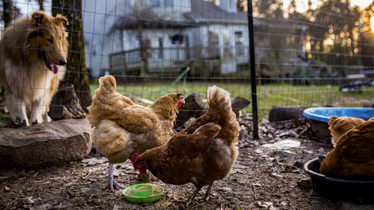
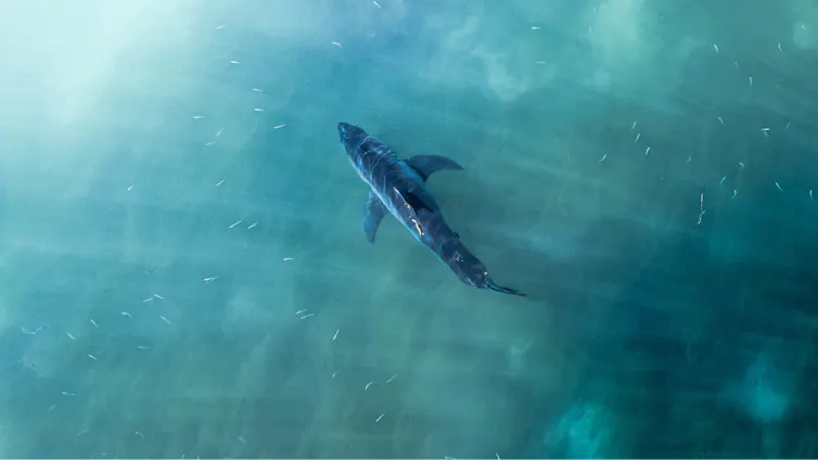
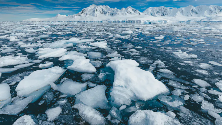
The deadly H5N1 strain of bird flu has now been found in a second state, South Australia, after earlier being identified in Western Australia.
Authorities have confirmed three seabirds have died of the highly pathogenic avian influenza (HPAI) H5N1 virus. It is too early to know if H5N1 has spread beyond these animals to other wildlife or livestock in Australia. But it appears very much a matter of when, not if, this happens.
Globally, H5N1 has already devastated wildlife populations. In Australia, this deadly virus could greatly disrupt ecosystems and push our most threatened species even closer to extinction.
Why is H5N1 so dangerous?
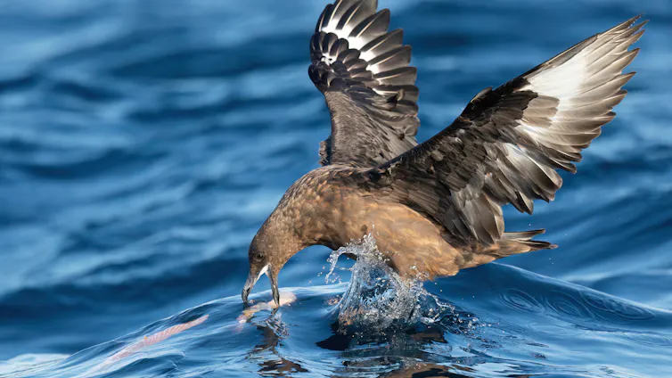
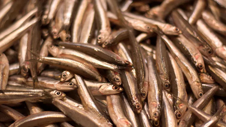
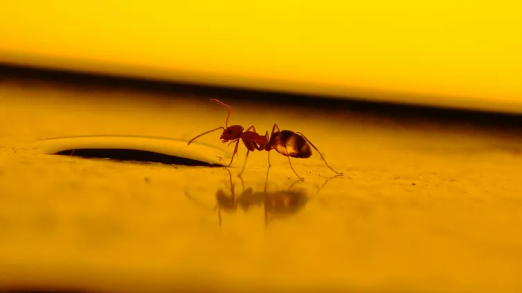
The H5N1 strain of bird flu spreads through contact with bodily fluids such as saliva and faeces, infected animals or contaminated environments. It can also be transmitted through scavenging by species that feed on infected carcasses.
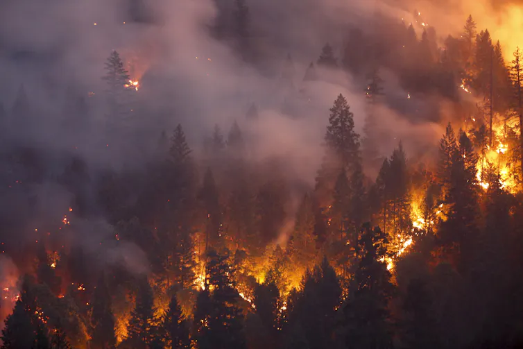
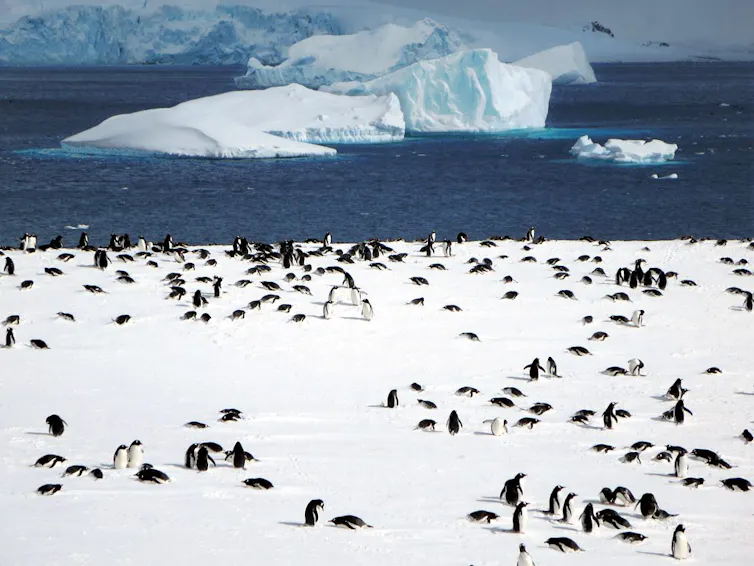
Since 2021, the H5N1 strain has killed millions of the world’s wild birds, mammals and poultry. This is because it can spread faster than other HPAI strains – including between mammals – and move between continents via migratory birds.
However, it’s hard to predict how H5N1 will affect our wildlife and ecosystems. This strain of the virus is not yet established in Australia. And many of our species are endemic – meaning they’re not found anywhere outside Australia – so we don’t have the data needed to reliably predict how H5N1 may affect them.
Threatened species most at risk
For threatened species, an H5N1 outbreak could be catastrophic. And a mass mortality event could be the final straw that finishes off a species. This is especially true if a population is already in decline, is geographically restricted or gathers to breed during certain seasons.
After the initial outbreak passes, populations may rebound through breeding and immigration. However, an extreme drop in numbers can create a genetic bottleneck, leading to rapid, substantial loss of genetic diversity. This, in turn, can threaten a population’s long-term health.
Since detecting H5N1 in Australia, authorities have understandably focused on protecting Australia’s spectacular birds – including the threatened regent honeyeater and orange-bellied parrot.
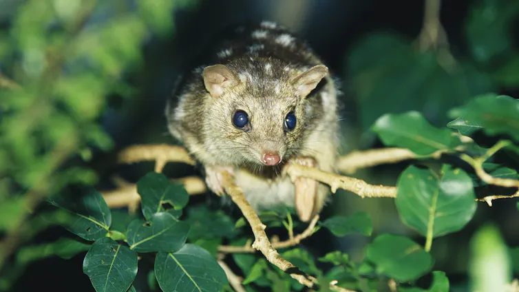
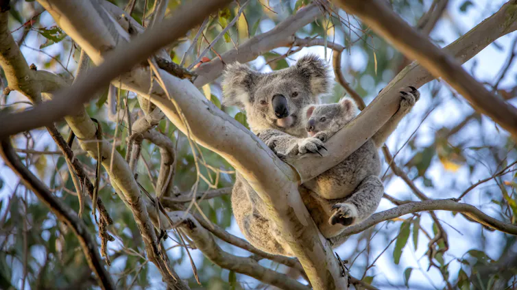
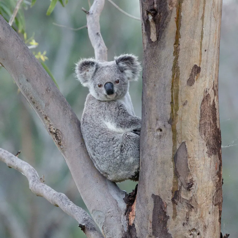
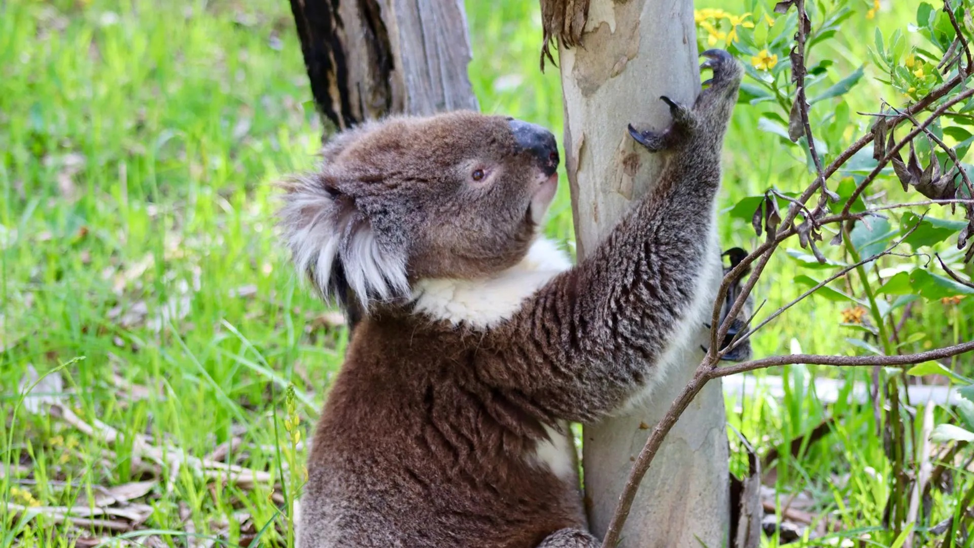
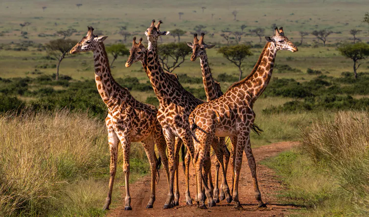
What’s received less attention are our iconic but increasingly threatened mammals. This includes the egg-laying platypus, native rodents such as the rakali and numerous marsupial species. In the United States, the virus has already done widespread damage to native rodents such as squirrels and voles, and the marsupial Virginia Opossum. It may well do the same to Australia’s mammals.
Carnivorous marsupials such as endangered Tasmanian devils and quoll species are also at risk, as their hunting and scavenging may expose them to infected carcasses.
Kangaroos, wallabies, possums and bandicoots can also scavenge and eat meat, meaning they could come in contact with H5N1. Species that live near shore birds in coastal and island habitats – including endangered mainland eastern barred bandicoots and threatened quokkas – are even more at risk.
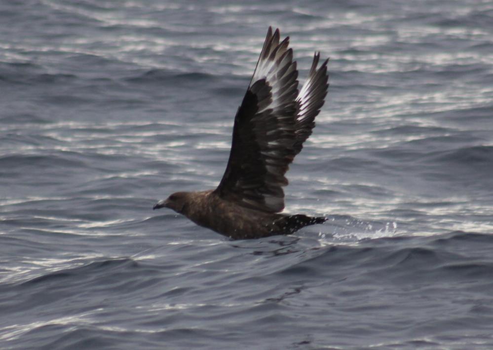
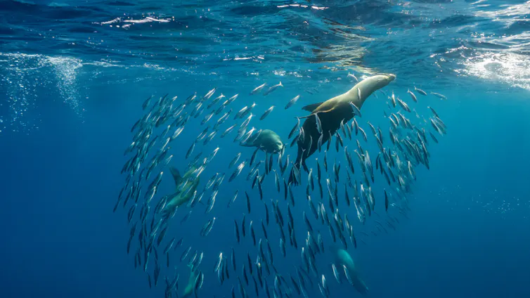
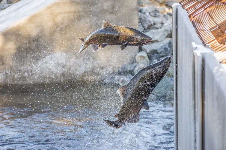
The H5N1 strain could also prove deadly to our Australian sea lion and black swan populations. Black swans appear particularly susceptible to H5N1, which may be because they evolved in the isolated island continent of Australia. Unlike other swan species, they lack certain genetic traits that might help their immune systems fight the H5N1 virus.
Long-term damage to ecosystems
Beyond individual species, H5N1 has the potential to greatly disrupt and devastate Australia’s ecosystems.
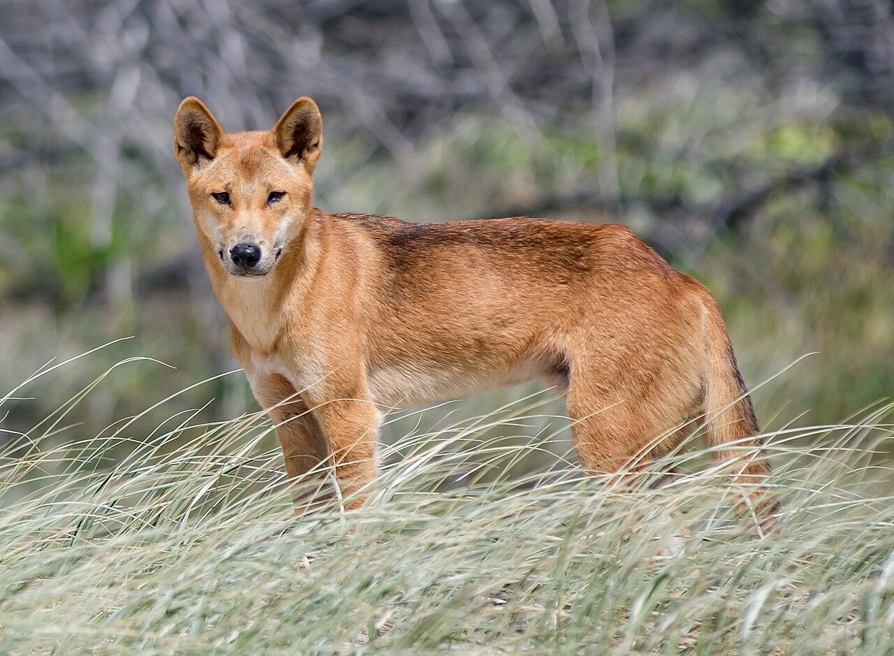
An H5N1 outbreak in predator species could see prey populations surge. If a local dingo population is wiped out by the virus, the kangaroos, wallabies, feral goats and other herbivores they prey on could rapidly increase in numbers. This could lead to overgrazing, which in turn would deprive other animals of food and shelter.
In freshwater and marine environments, an H5N1 outbreak could see many birds die in and around waterways in a short period. Nutrients from the bird carcasses could pollute waterways if not cleaned up, worsening water quality and oxygen levels and potentially causing widespread fish kills.
So, what can we do?
Compared to other countries and continents, Australia has had longer to prepare for an H5N1 outbreak.
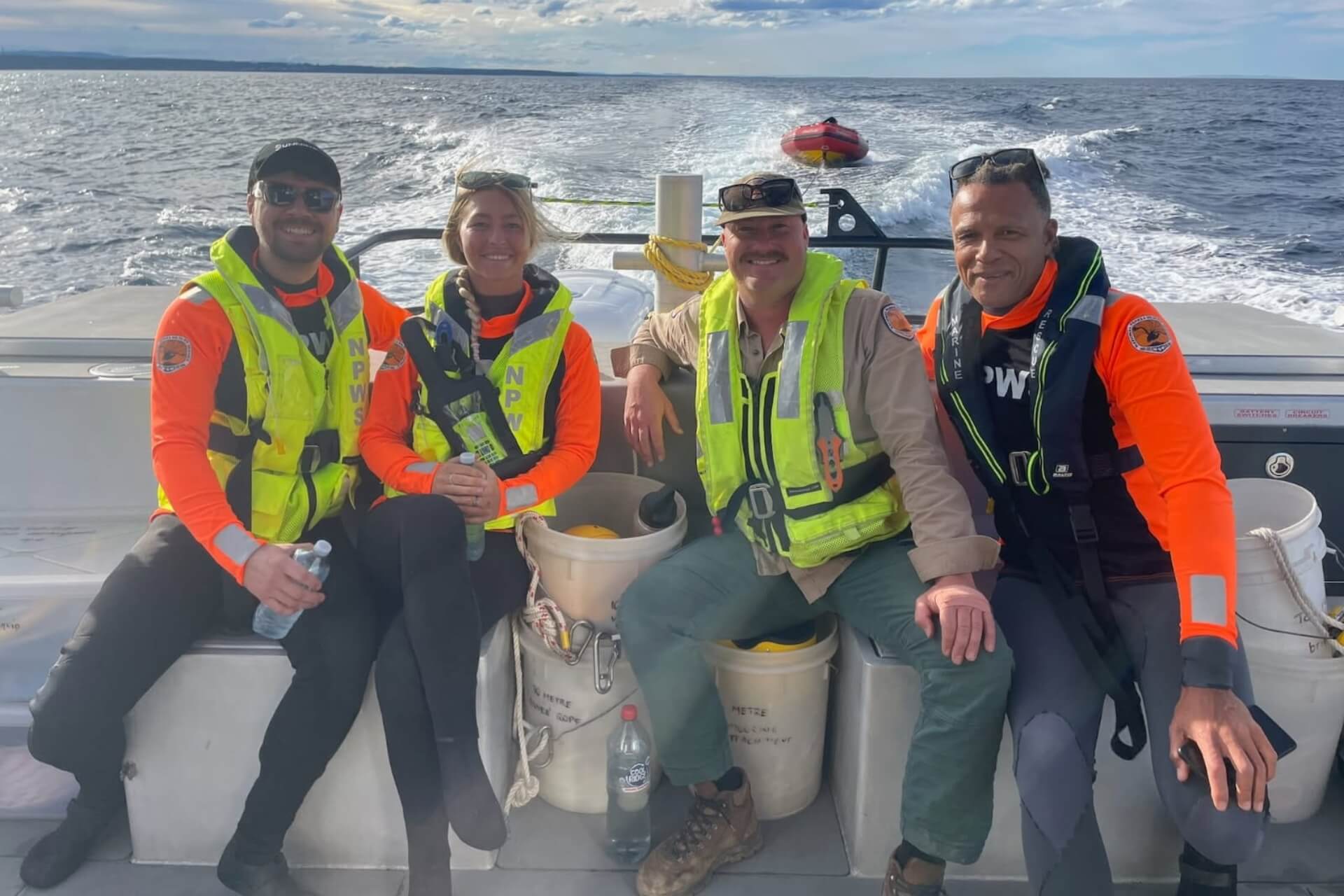
The federal government has so far invested A$113 million to bolster our H5N1 response. This money will go towards disease surveillance, invasive species control, captive breeding programs and efforts to monitor wildlife health.
But we can also help stop the spread of H5N1 on an individual level by:
immediately reporting any sick or dead animals to the Emergency Animal Disease hotline on 1800 675 888 or organisations such as Wildlife Health Australia
not touching native wildlife
only feeding birds in backyards, never in the wild, and following strict hygiene measures such as cleaning water baths weekly and opting for hanging bird feeders
keeping dogs and cats away from wildlife, animal faeces and especially dead carcasses.
The arrival of H5N1 in Australia is not cause for panic, as this outbreak is yet to unfold. But we must be extra vigilant in how we observe and interact with wildlife and nature. The future of our most vulnerable species depends on it. ![]()
Euan Ritchie, Professor in Wildlife Ecology and Conservation, School of Life & Environmental Sciences, Deakin University
This article is republished from The Conversation under a Creative Commons license. Read the original article.


.jpg?timestamp=1781941121891)


%20(1).jpg?timestamp=1675893929686)
.JPG.opt1460x973o0,0s1460x973.jpg?timestamp=1663629195339)


.JPG?timestamp=1738978242152)


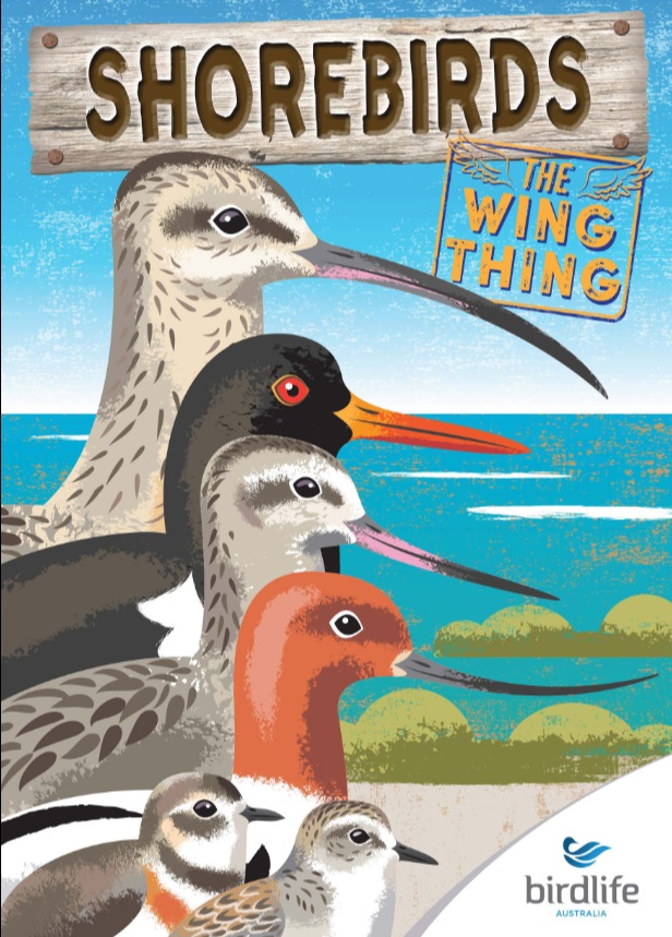
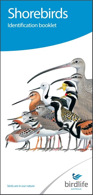 Shorebird Identification Booklet