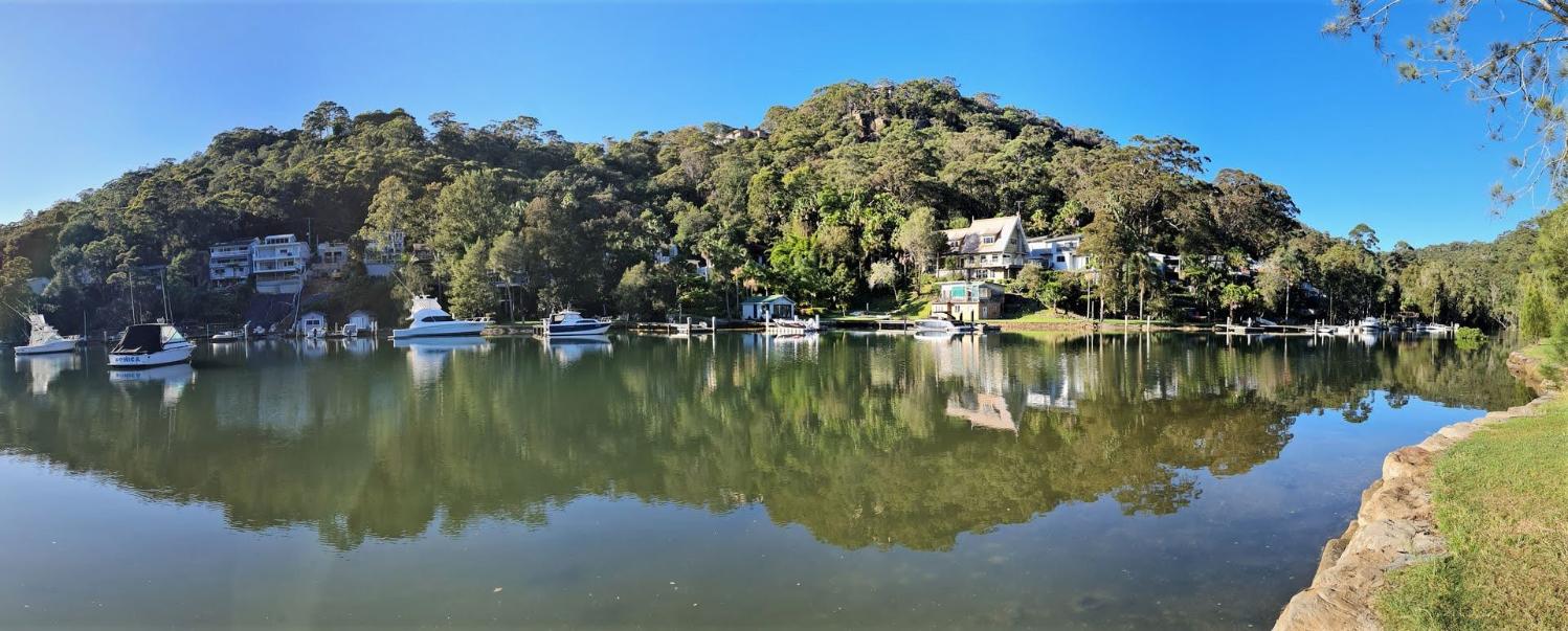
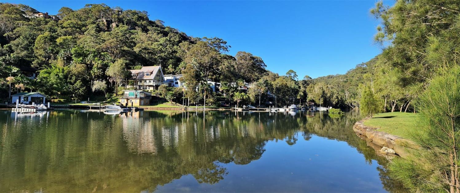
America Bay is at the entrance to Cowan Creek running out of Refuge Bay. The name is said by some sources to have originated during World War 11 when U.S. troops were in the area, but the name was mentioned by Surveyor Larmer in 1832.
The name may have originated from the use of the bay by American whaling and sailing vessels, which worked along the New South Wales coast in the early 19th century. In 1840, Vice-Admiral Robert FitzRoy FRS, the then captain of the HMS Beagle reported there were between 200 and 300 American whalers working along the coast. The bay offered a sheltered anchorage with fresh water, and could not be seen by the eyes of officialdom at Port Jackson. Because of the trade monopoly held by the East India Company commercial vessels were not allowed to carry cargo between the U.K. and N.S.W until 1819. American ships took advantage of this and traded across the Pacific, their cargoes usually included substantial quantities of rum. - Hawkesbury People & Places website: America Bay
More in:
- Pittwater’s Parallel Estuary: The Cowan ‘Creek’ and
- Pittwater's Lone Rangers - 120 Years of Ku-Ring-Gai Chase and the Men of Flowers Inspired by Eccleston Du Faur and
- Harry Wolstenholme (June 21, 1868 - October 14, 1930) Ornithologist Of Palm Beach, Bird Man Of Wahroonga
NSW National Parks and Wildlife Service states:
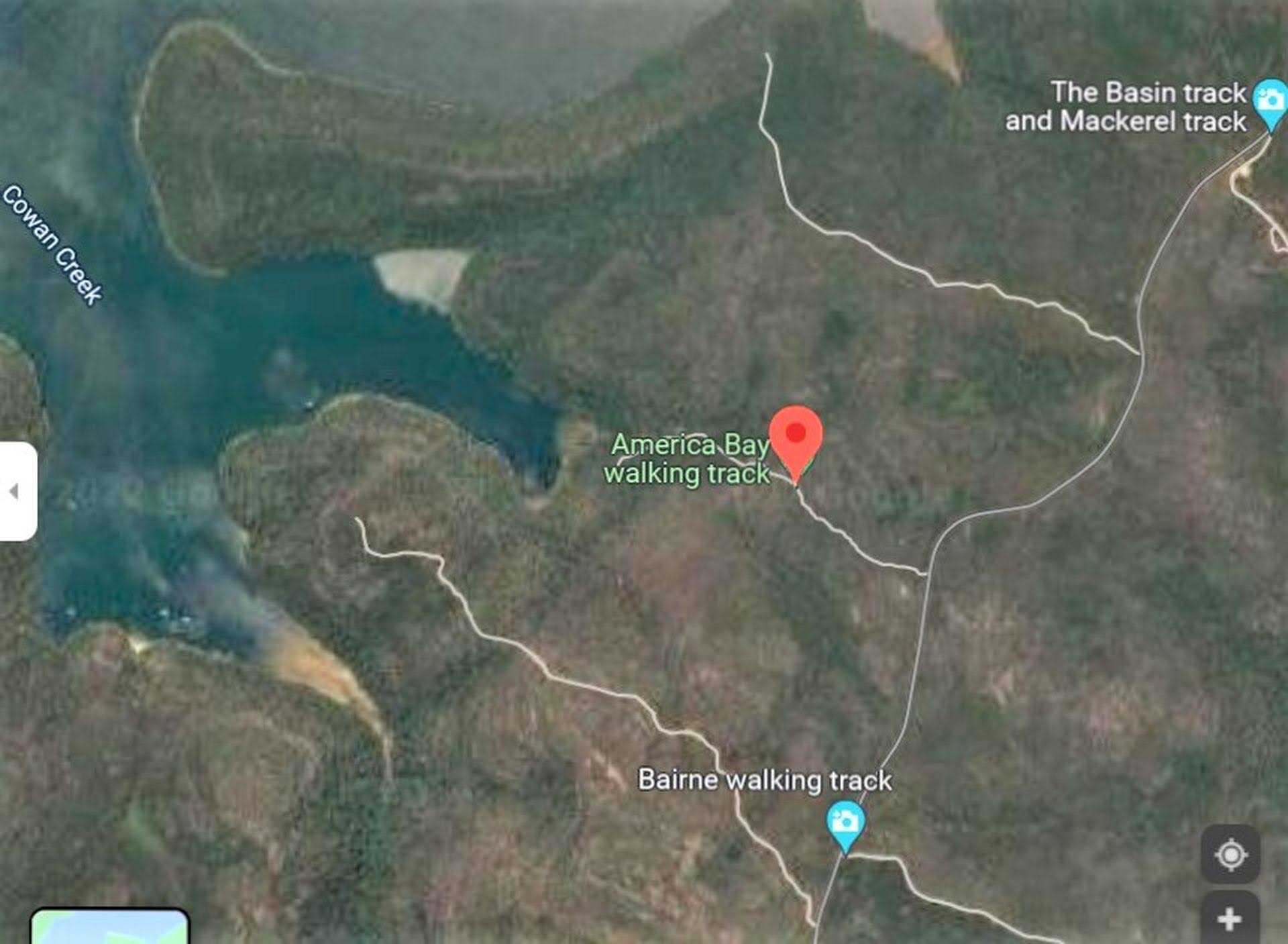
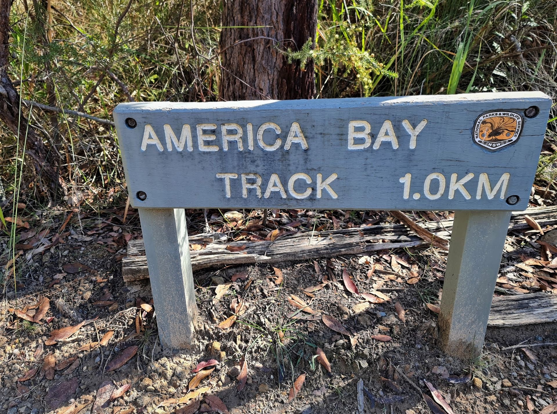
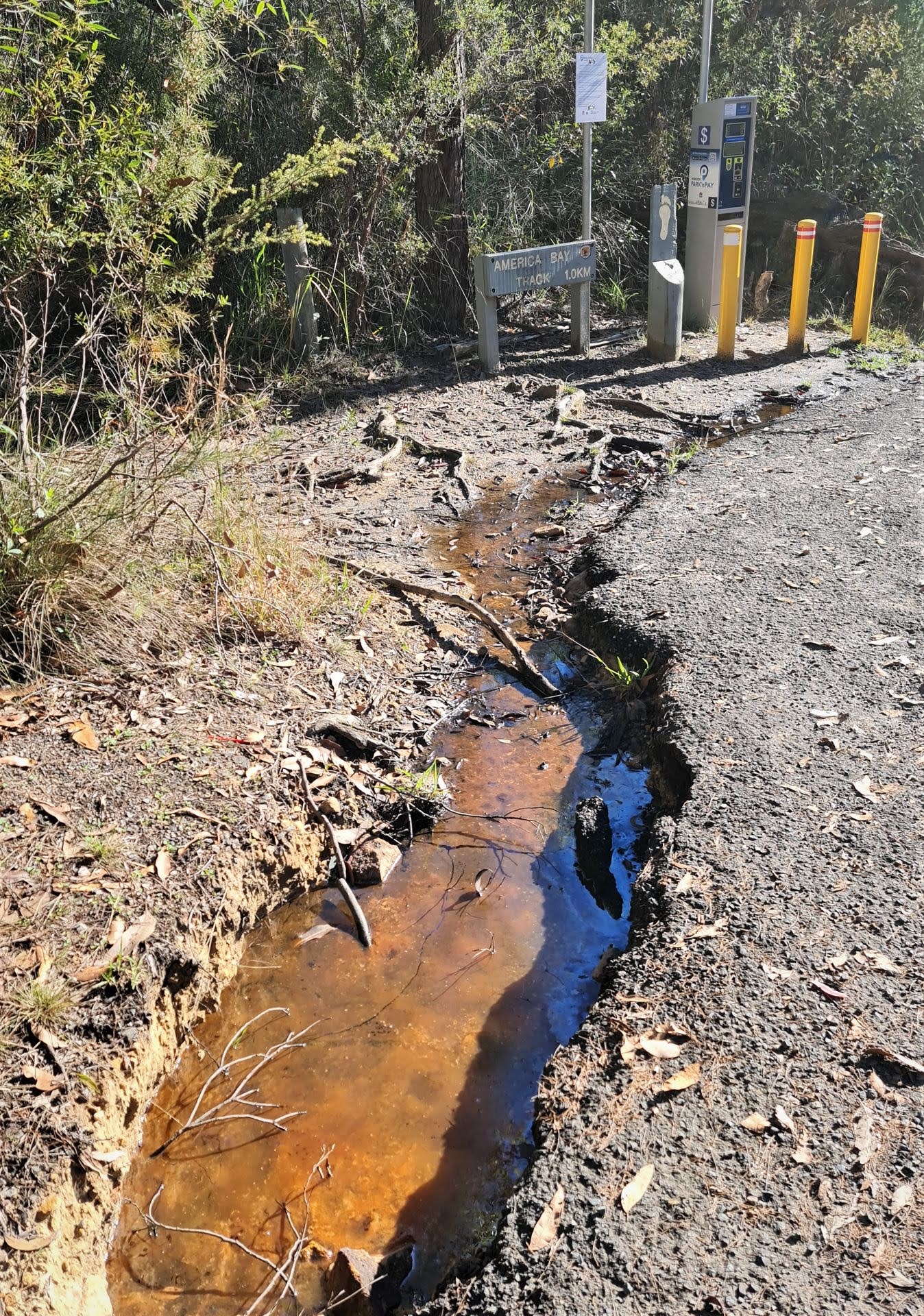
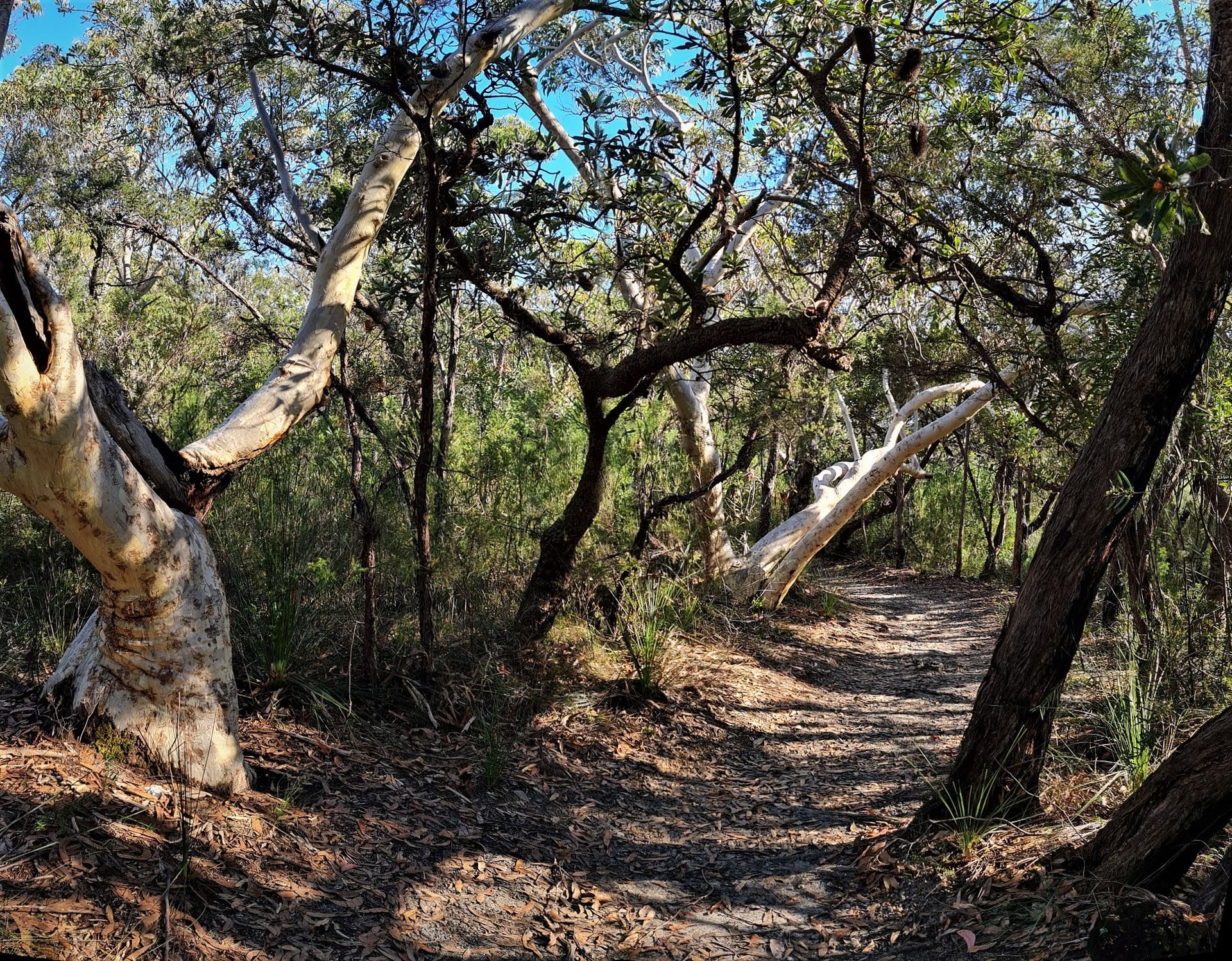
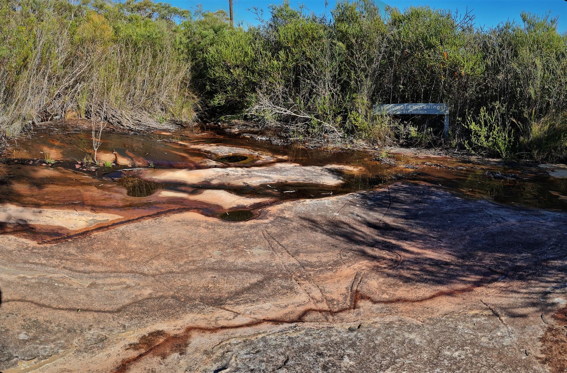
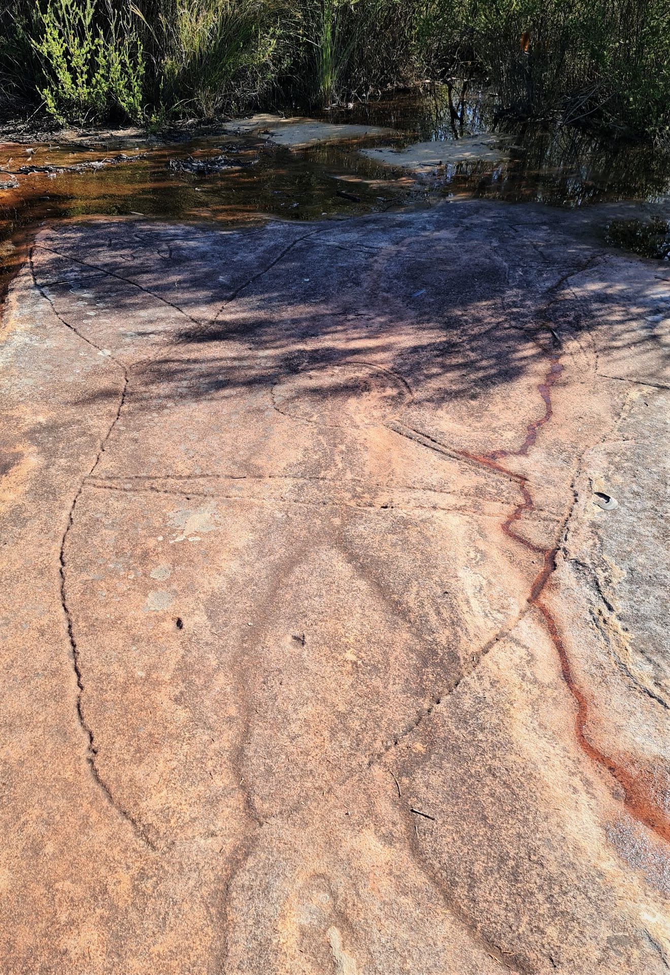
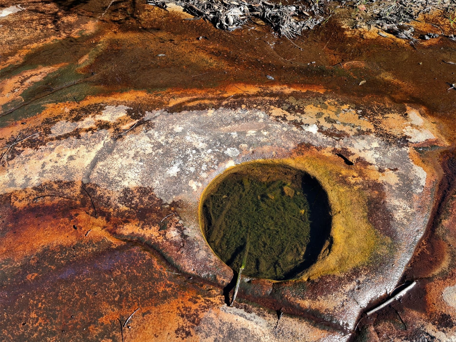
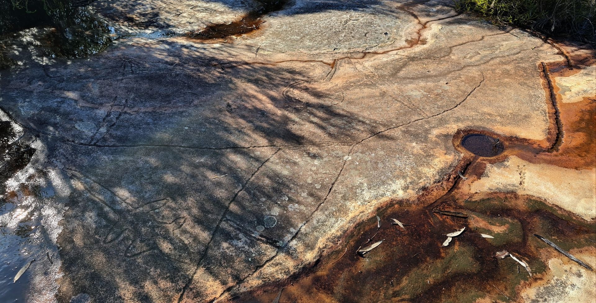
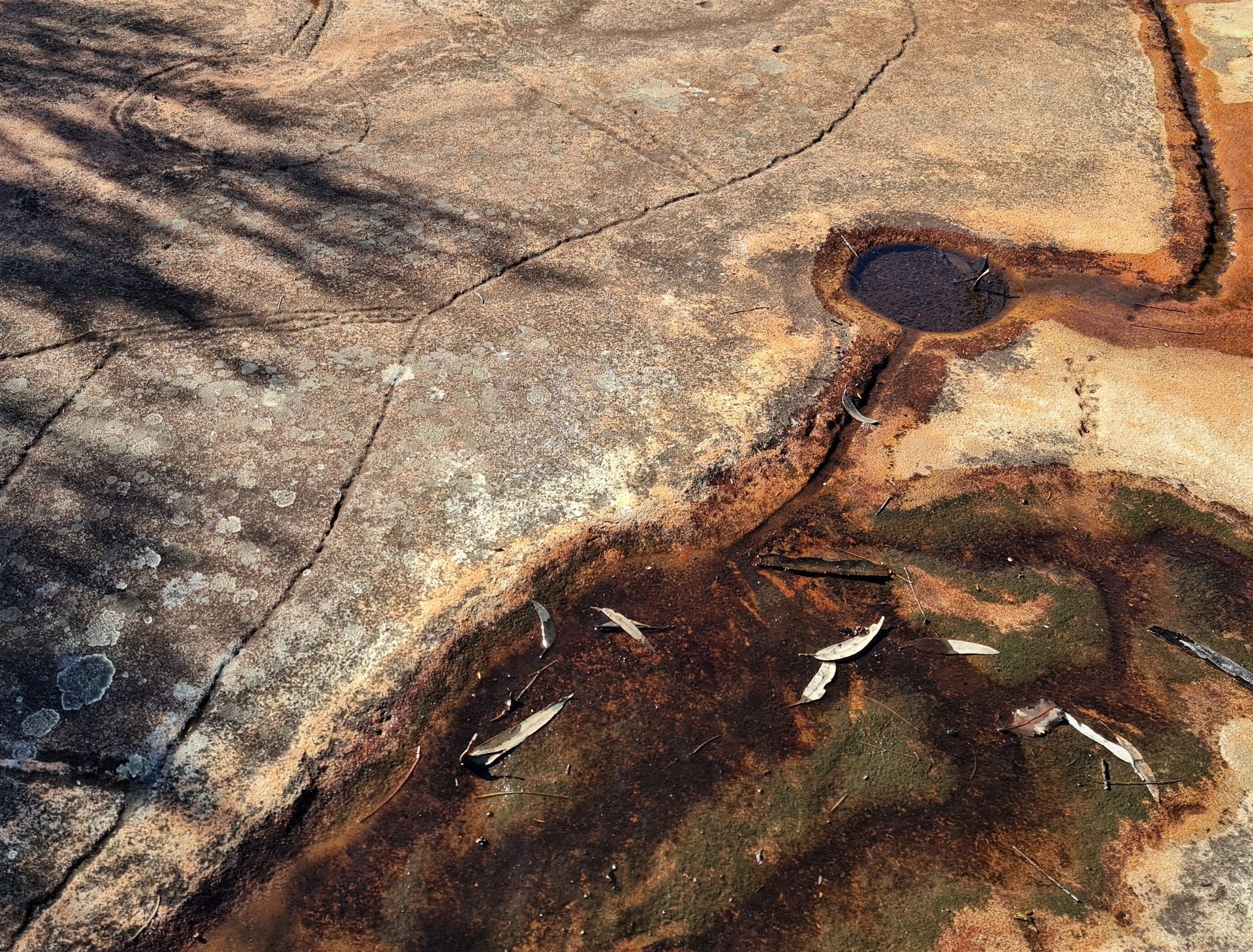
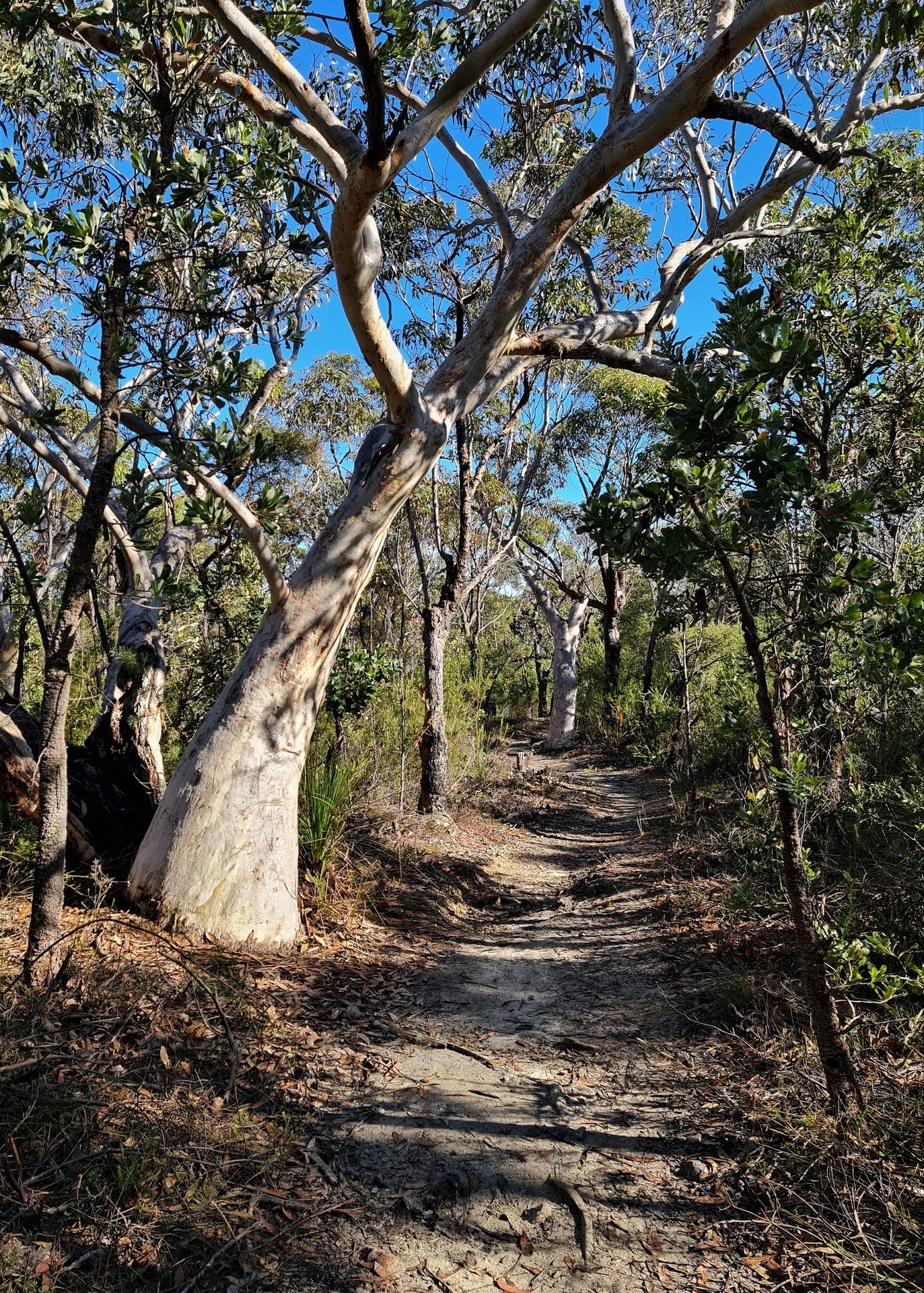
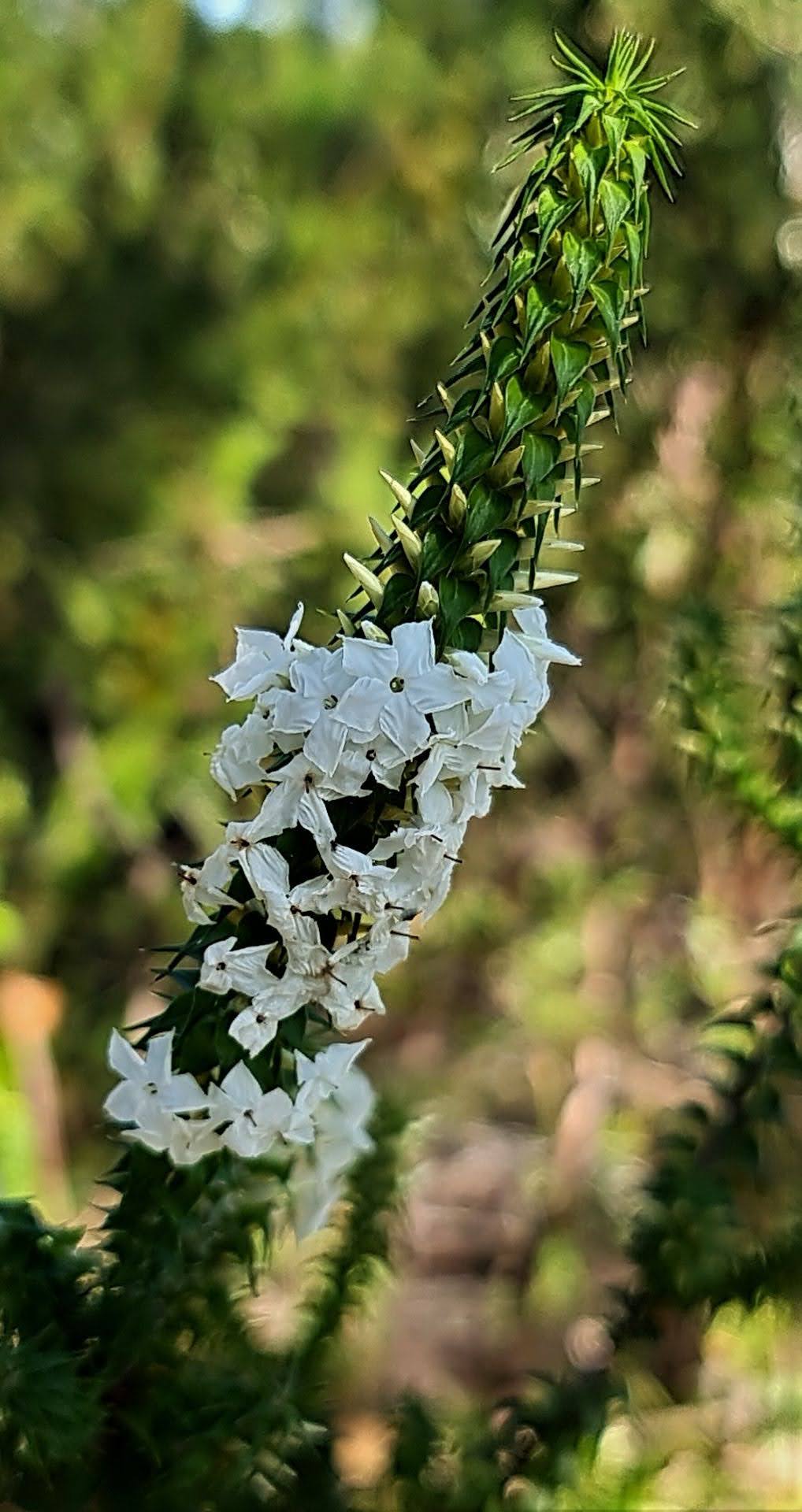
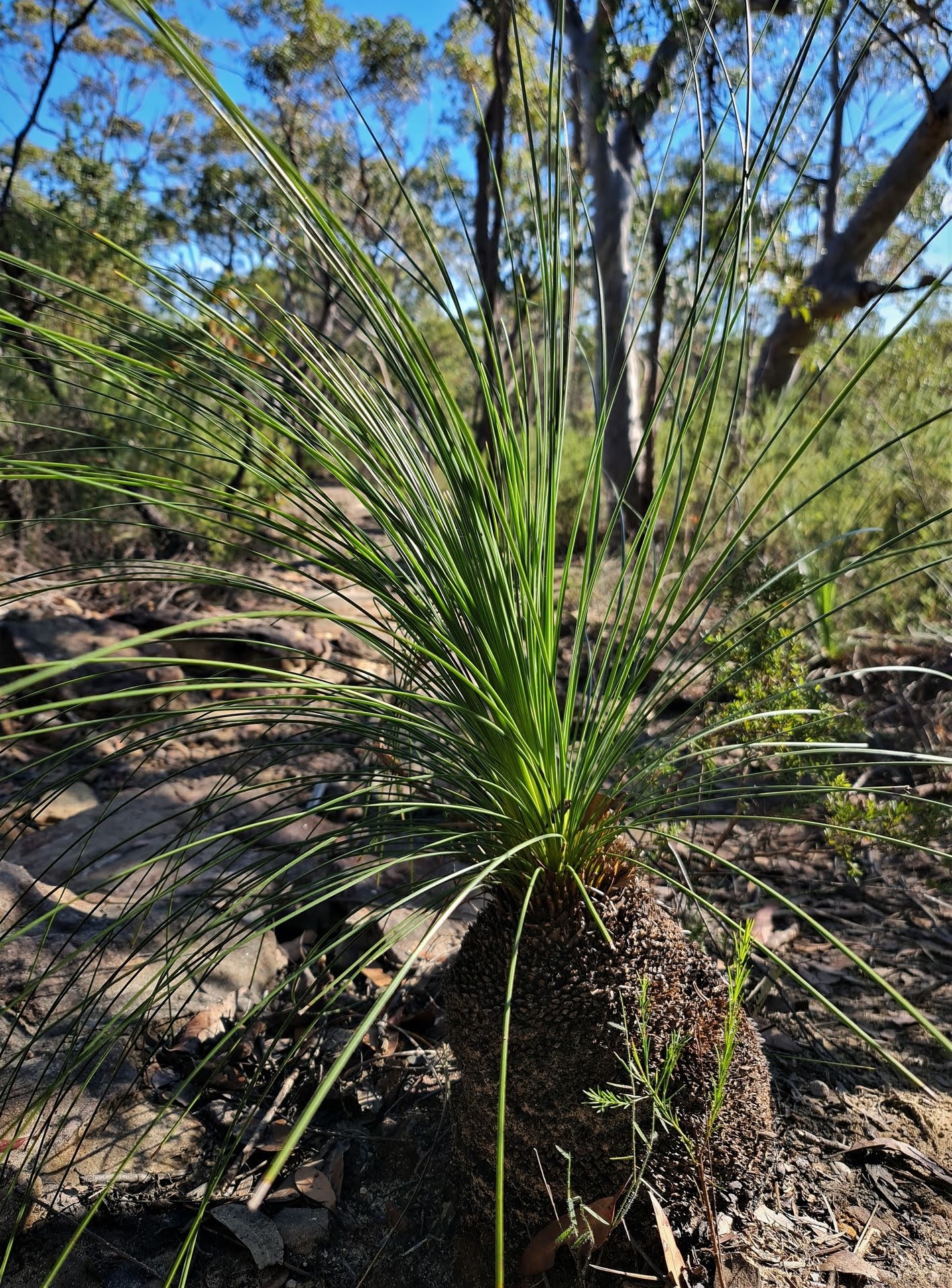
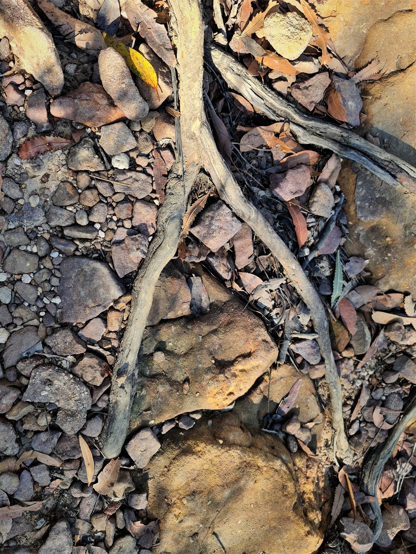
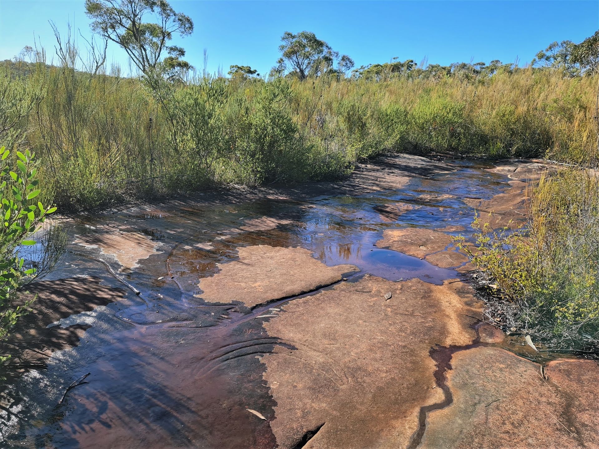
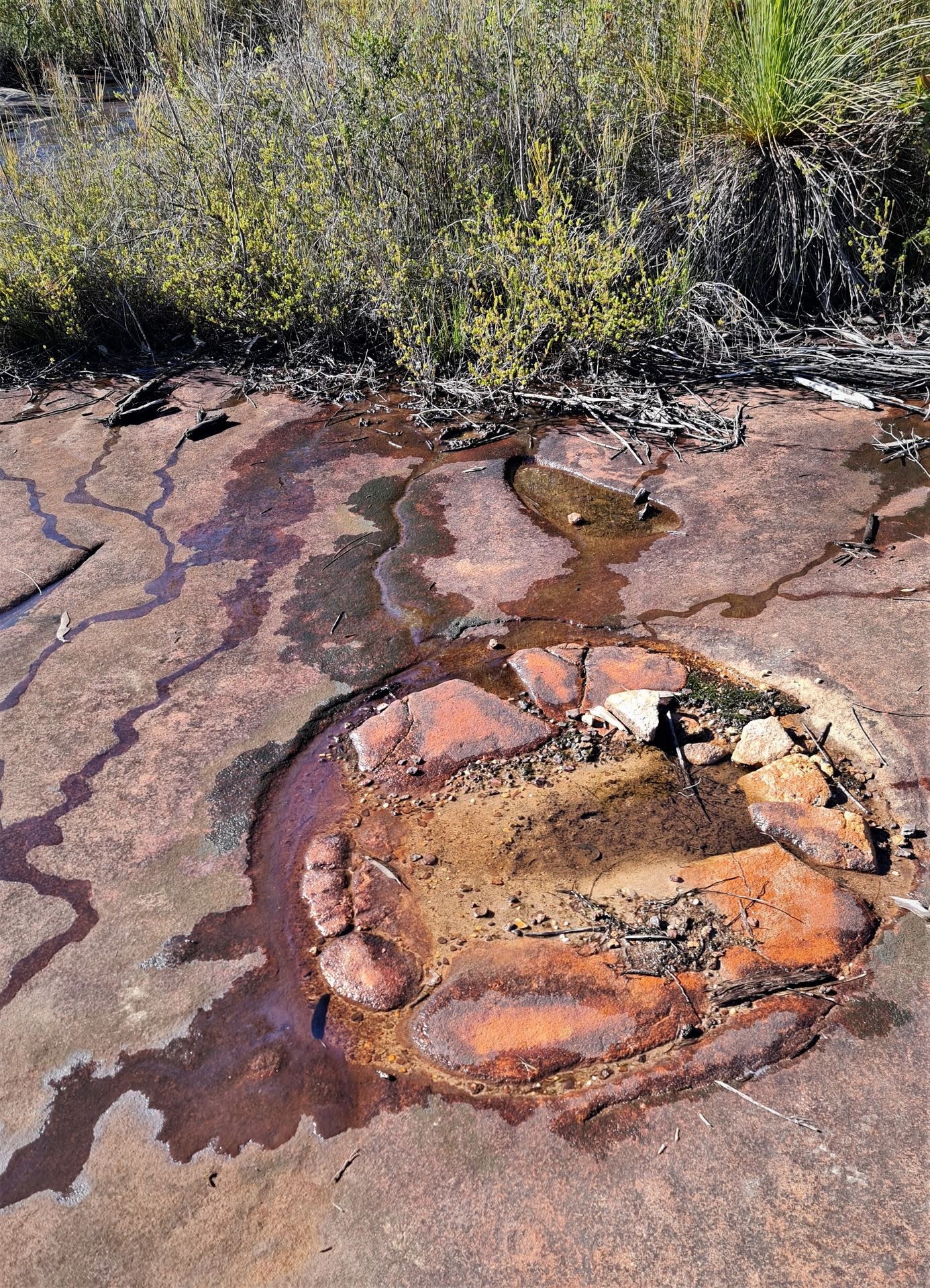
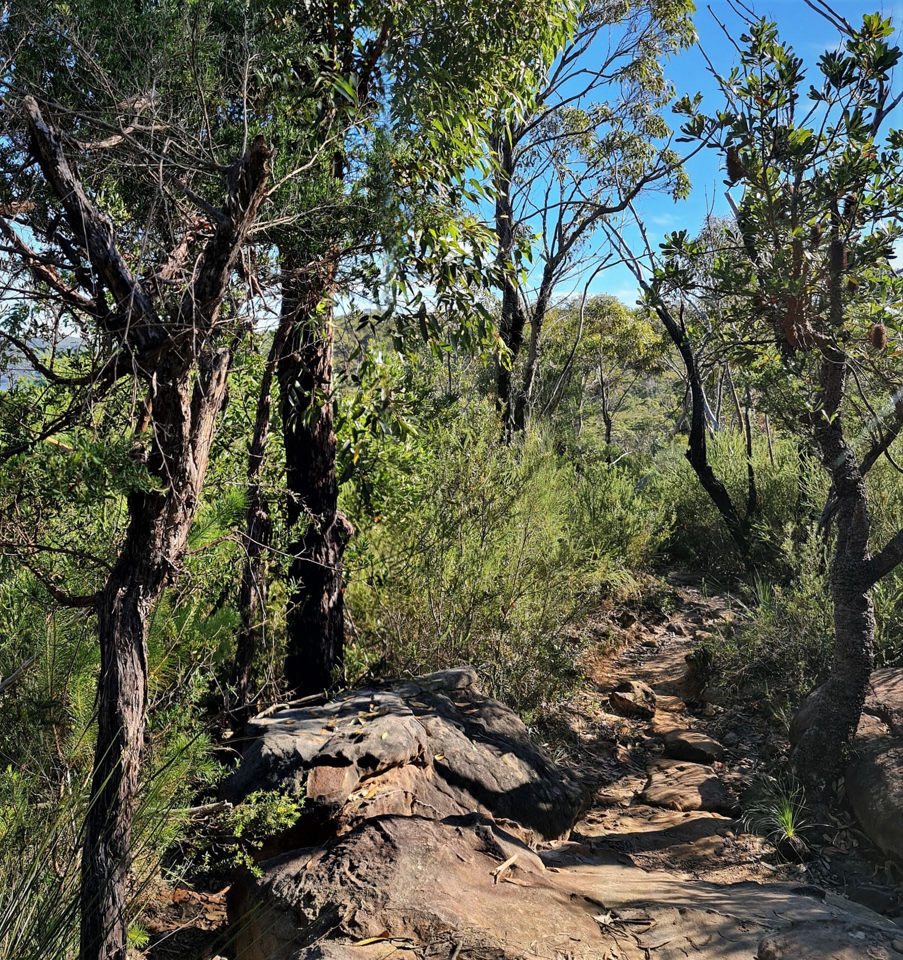
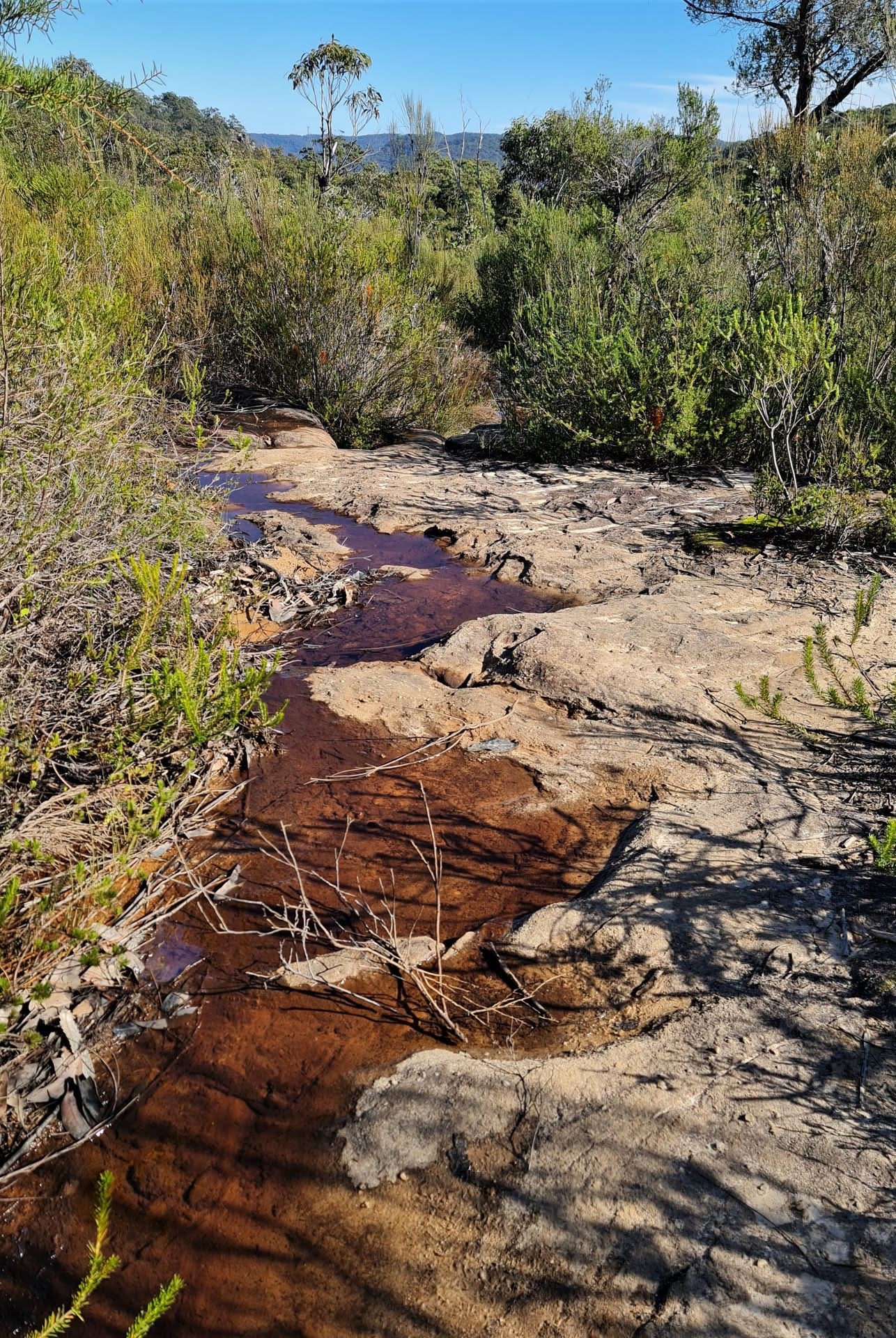
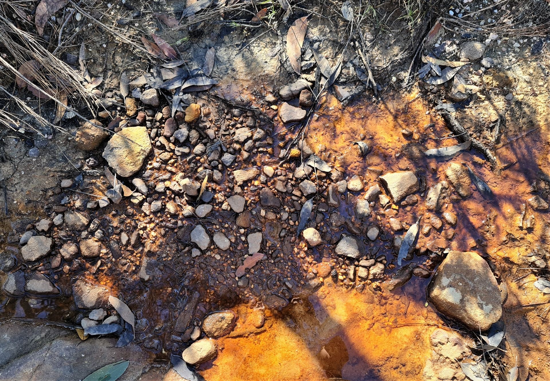
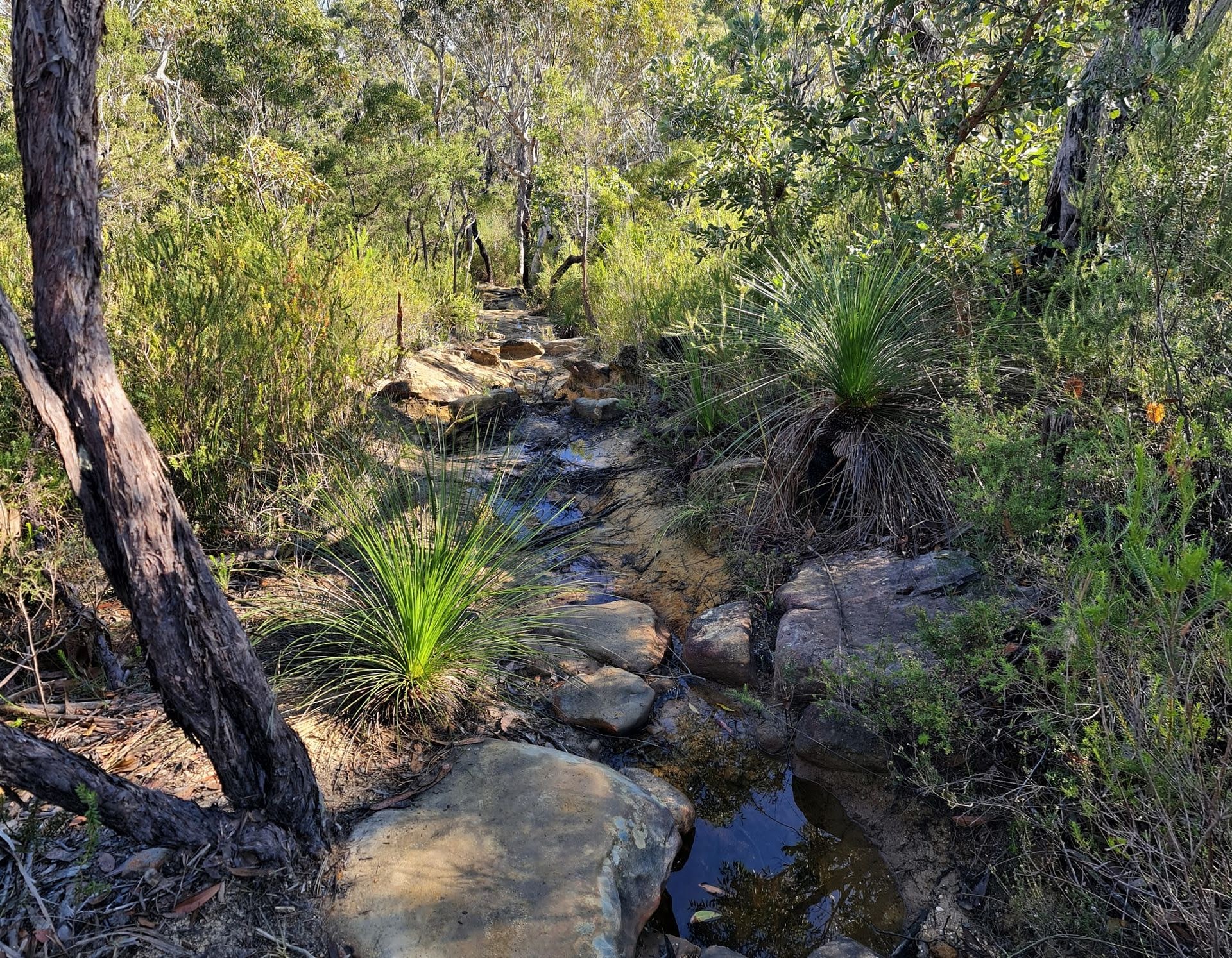
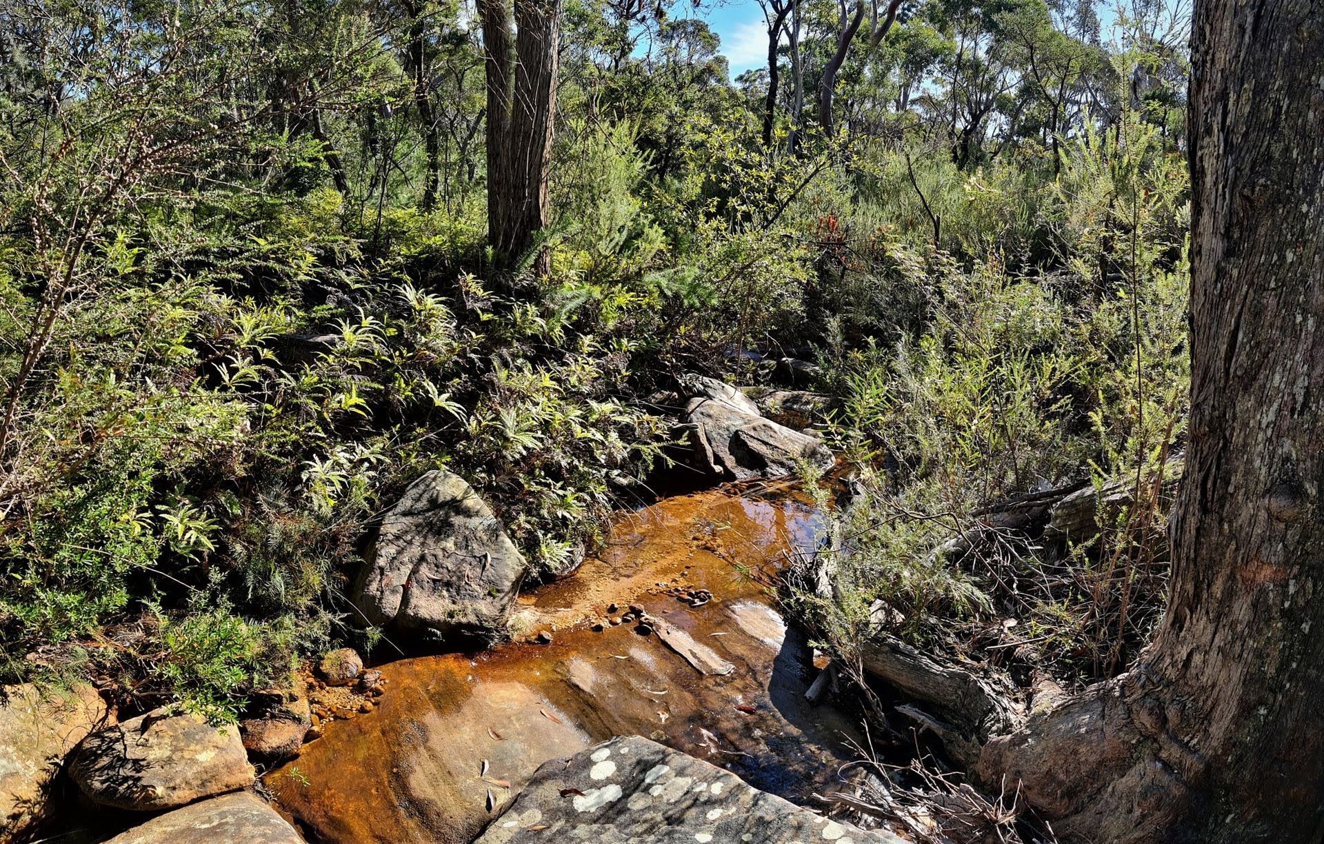
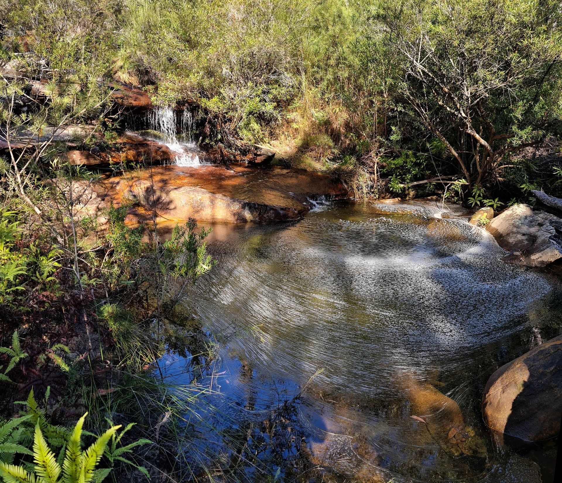
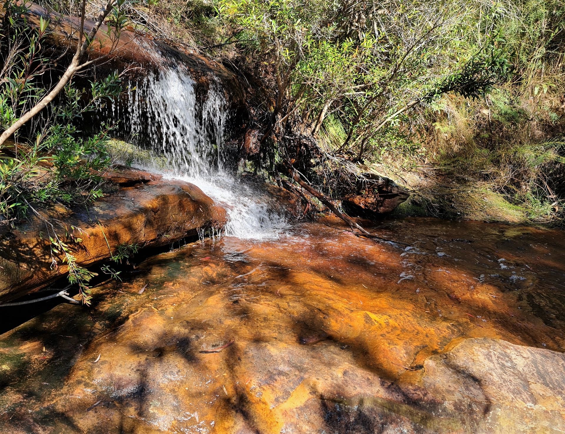
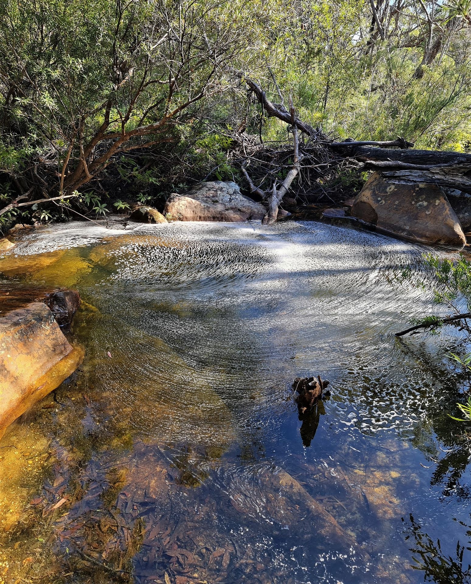
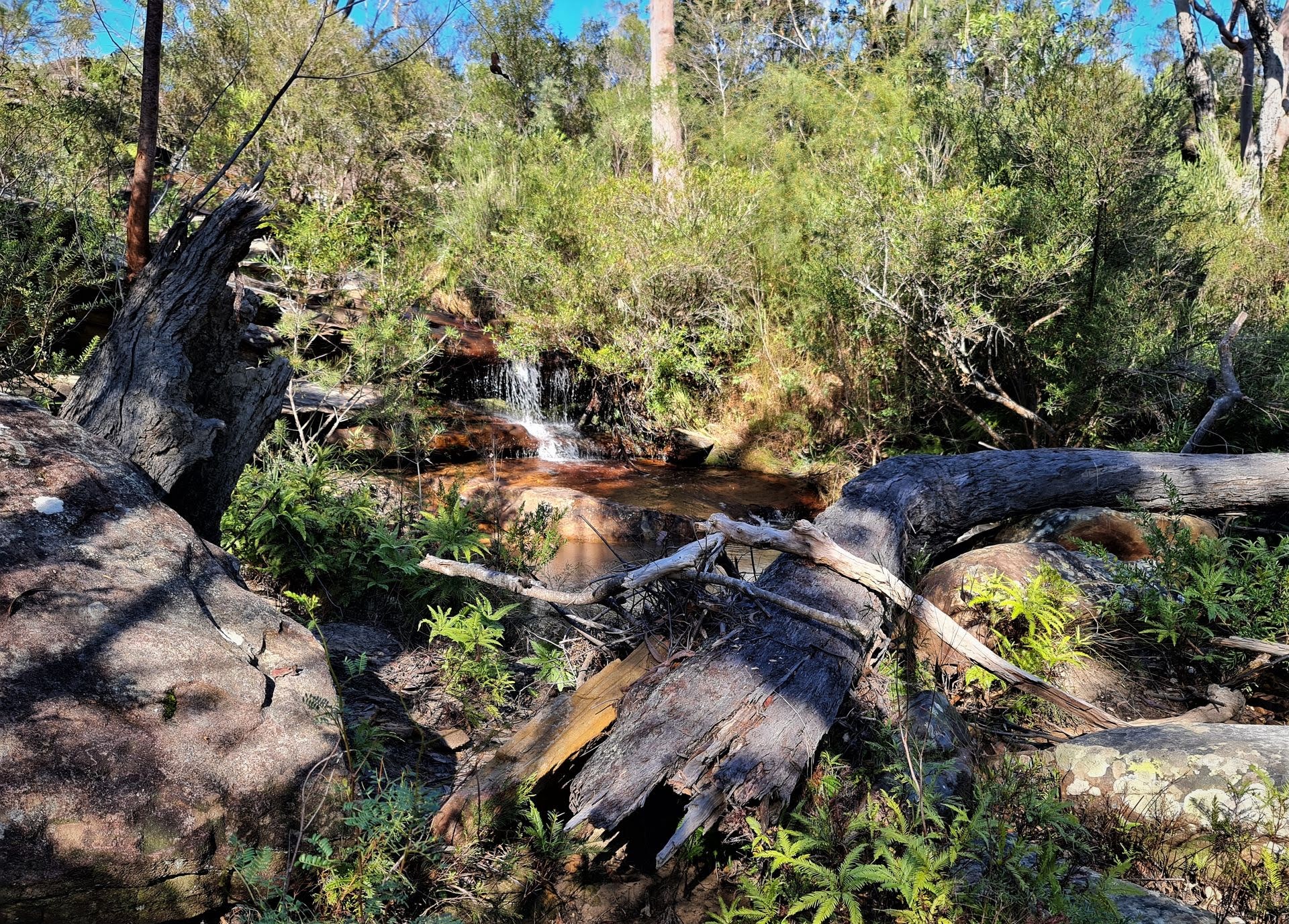
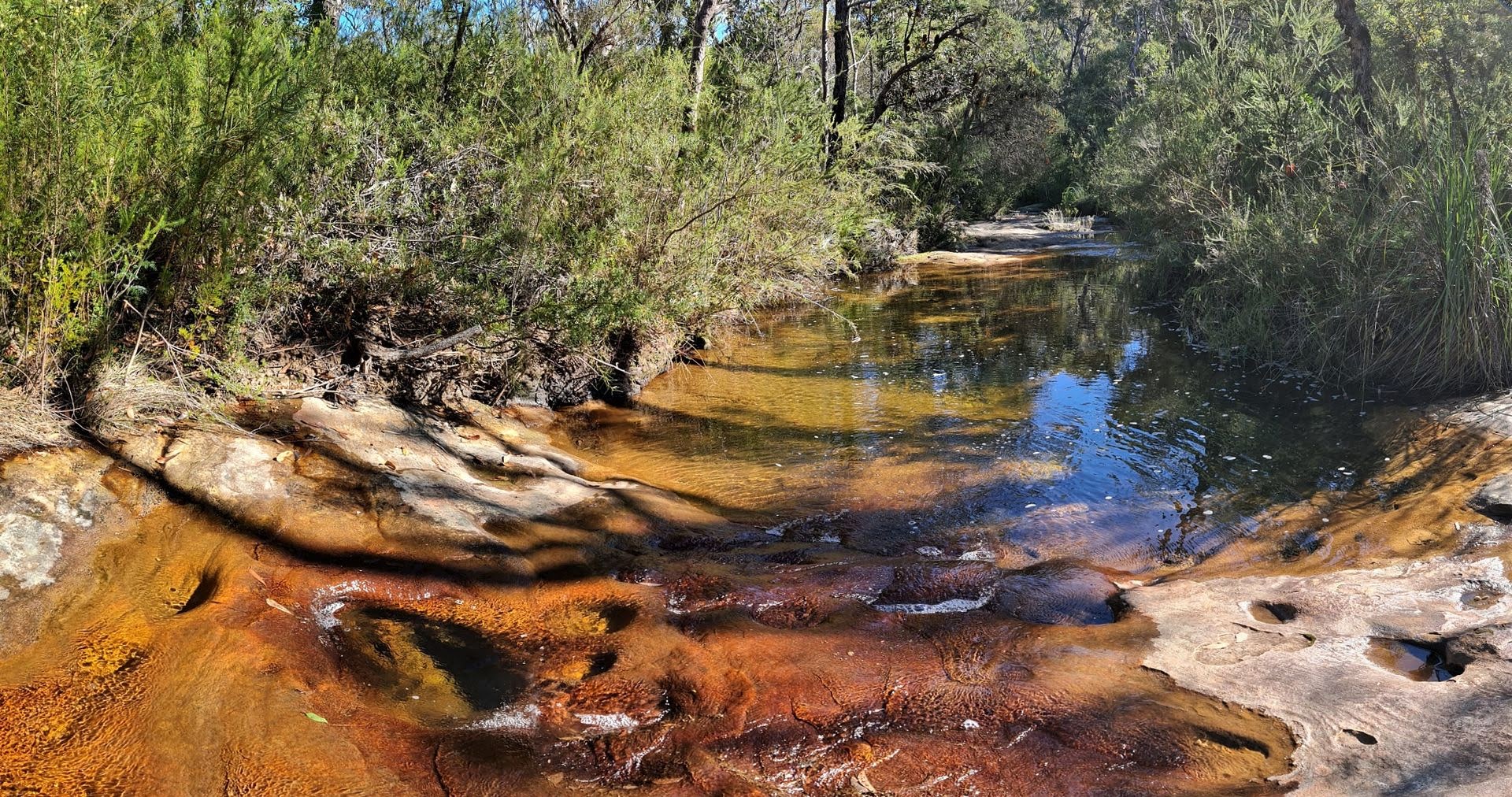
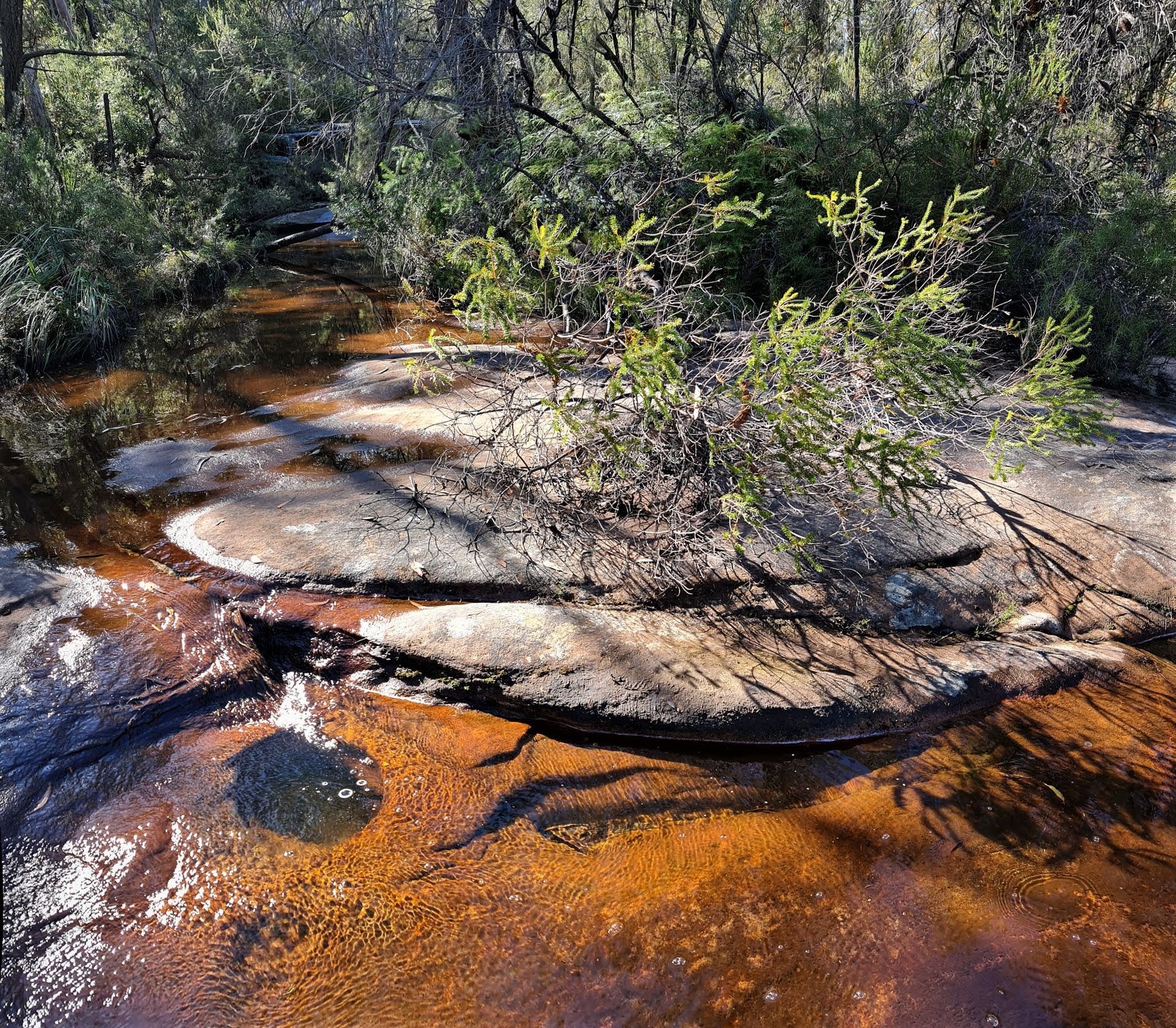
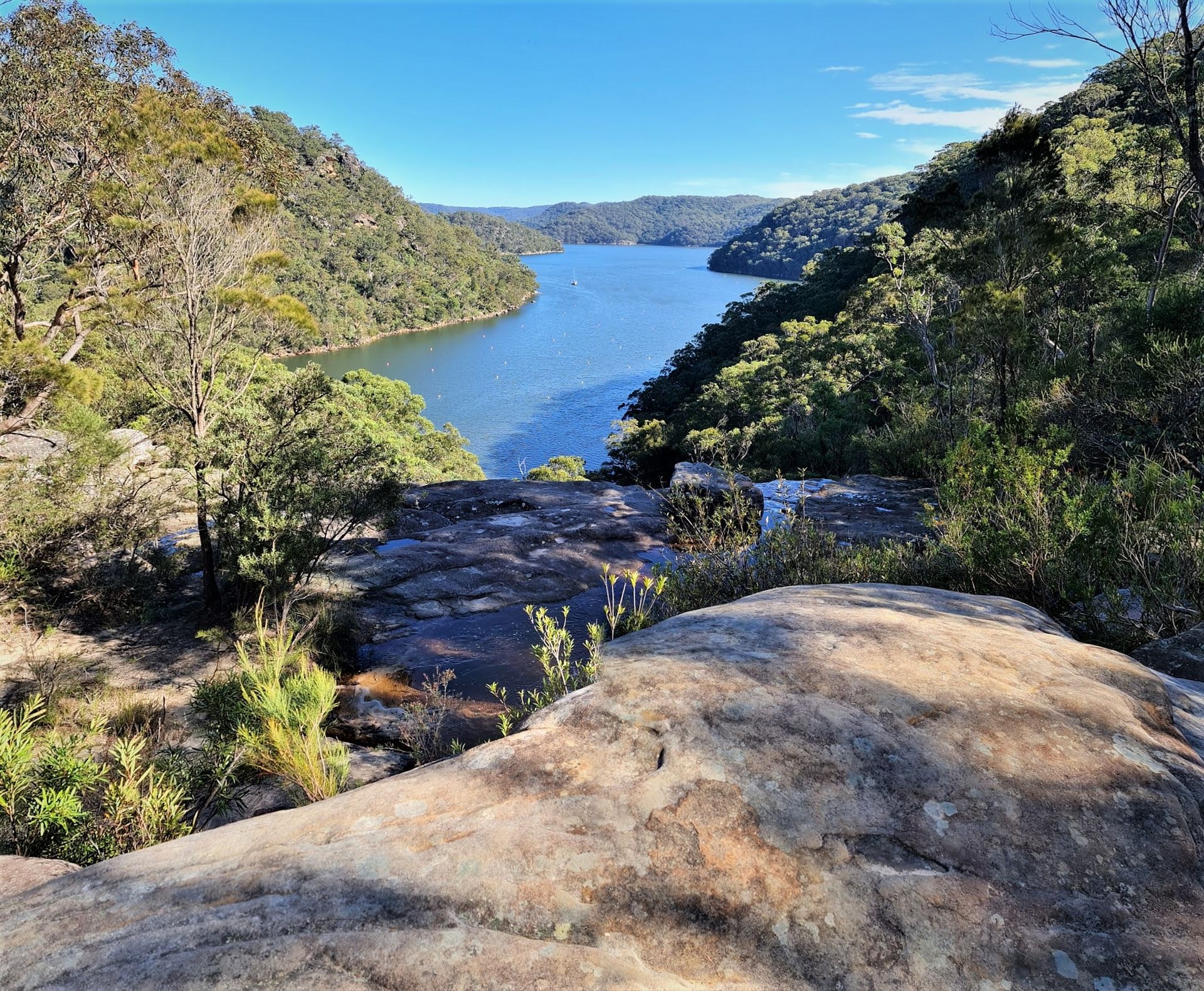
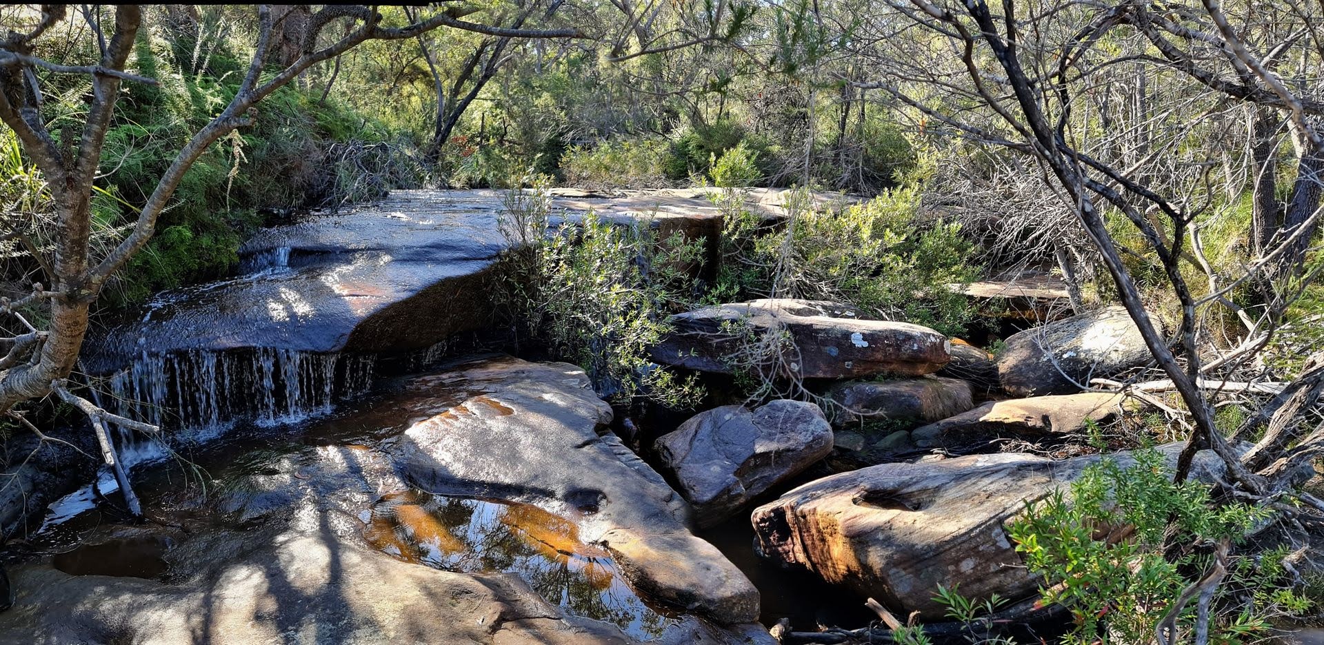
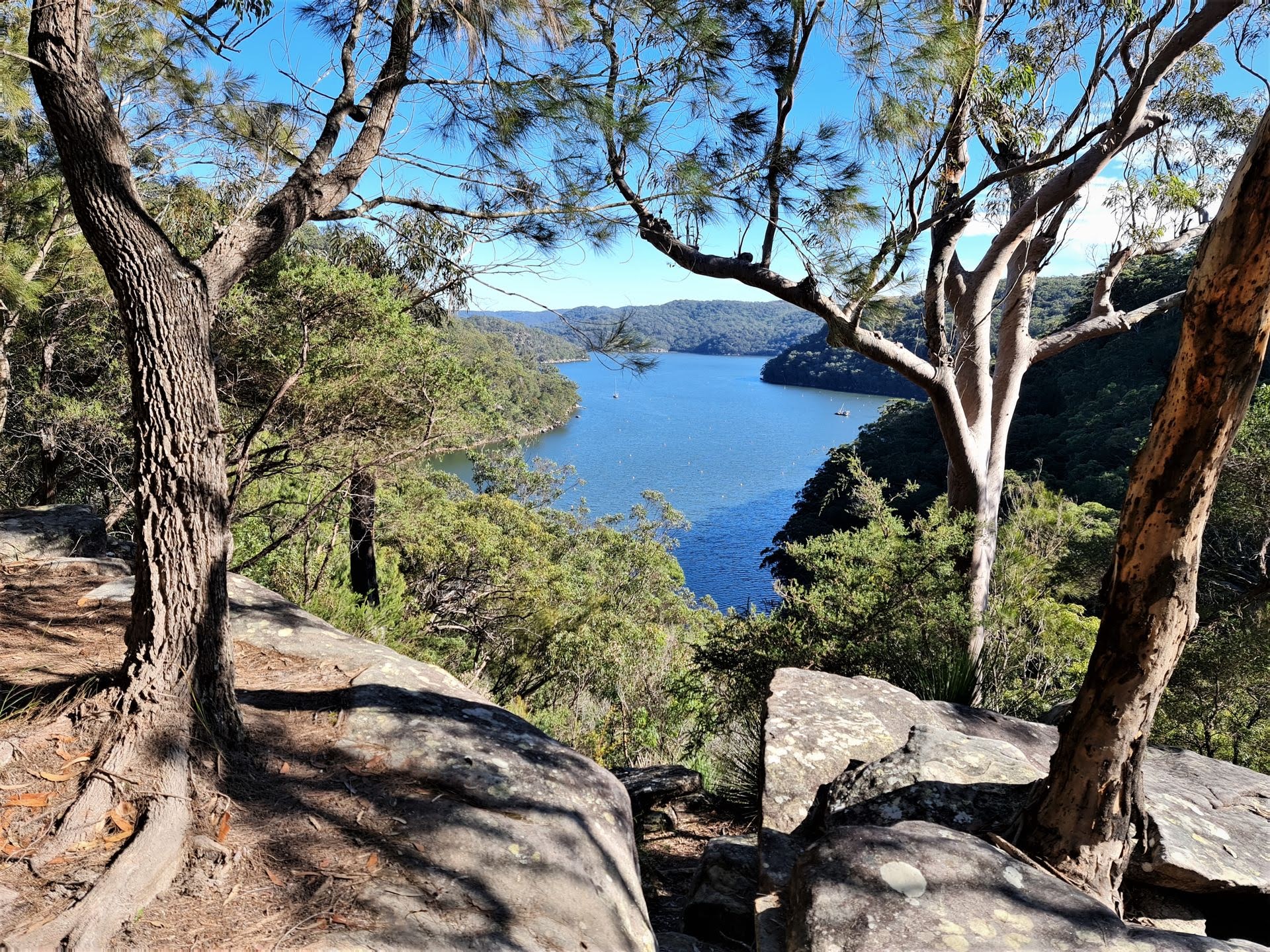
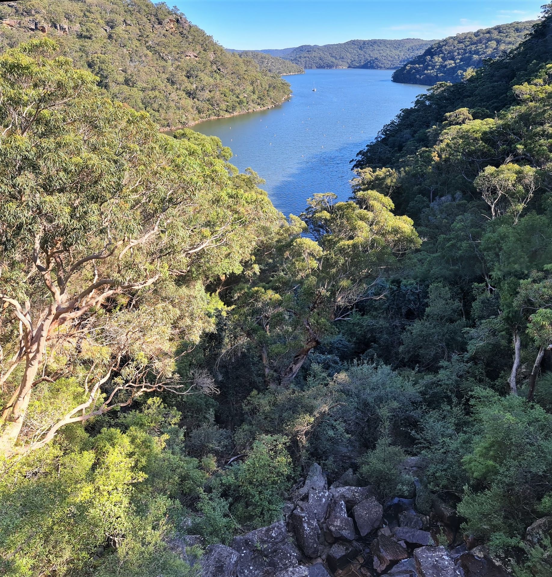
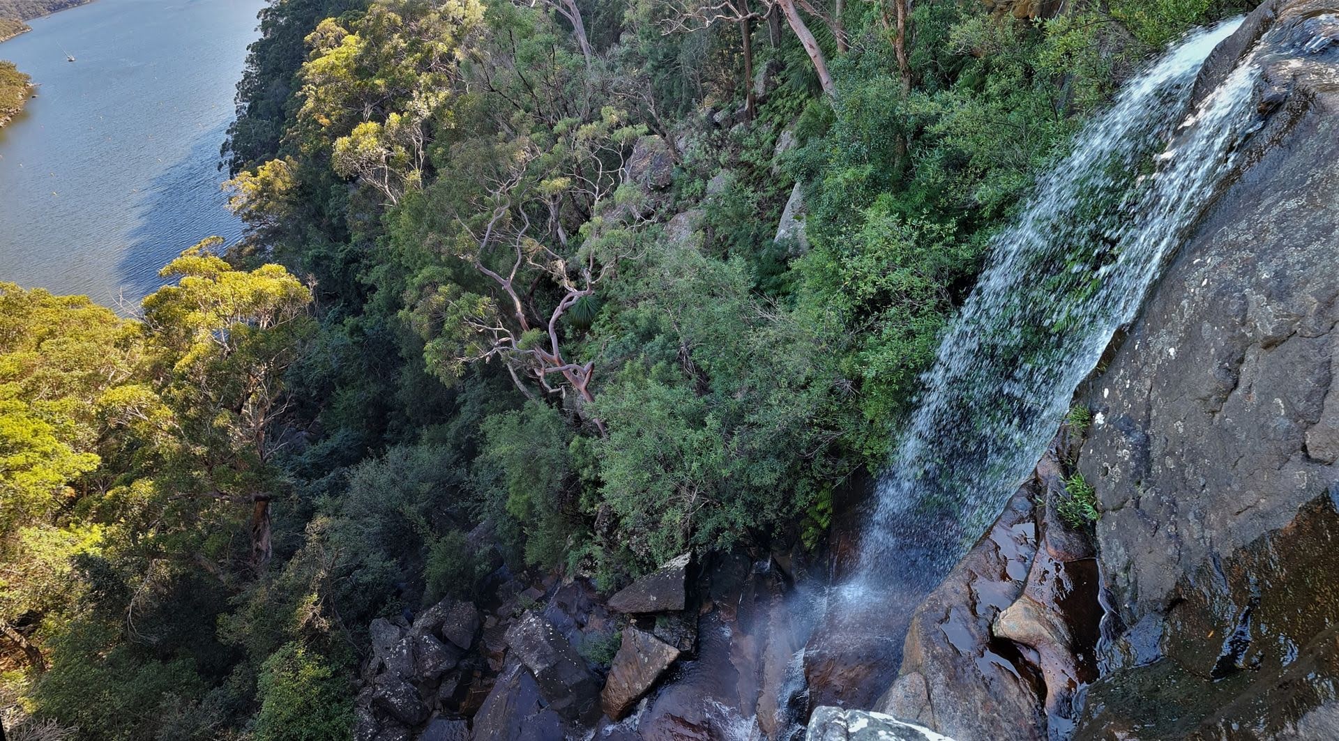
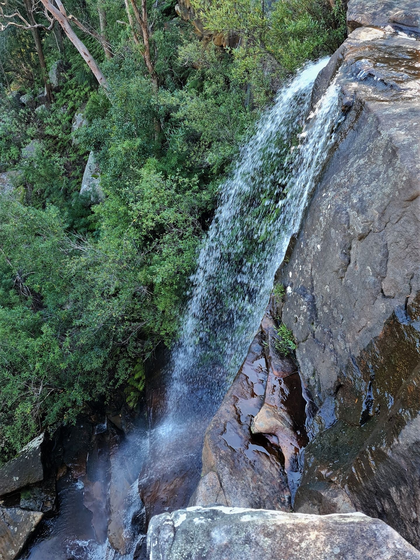
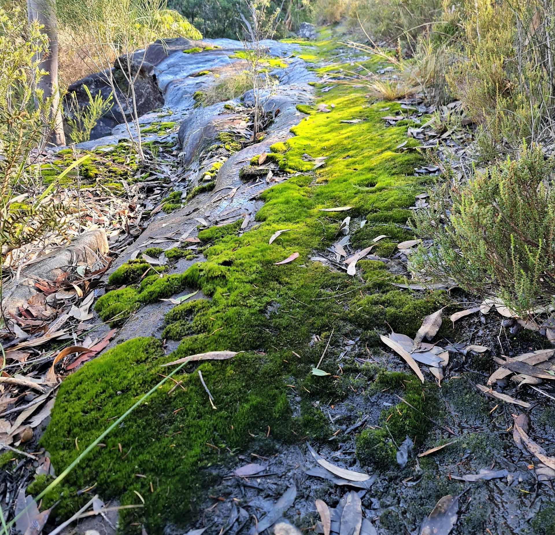
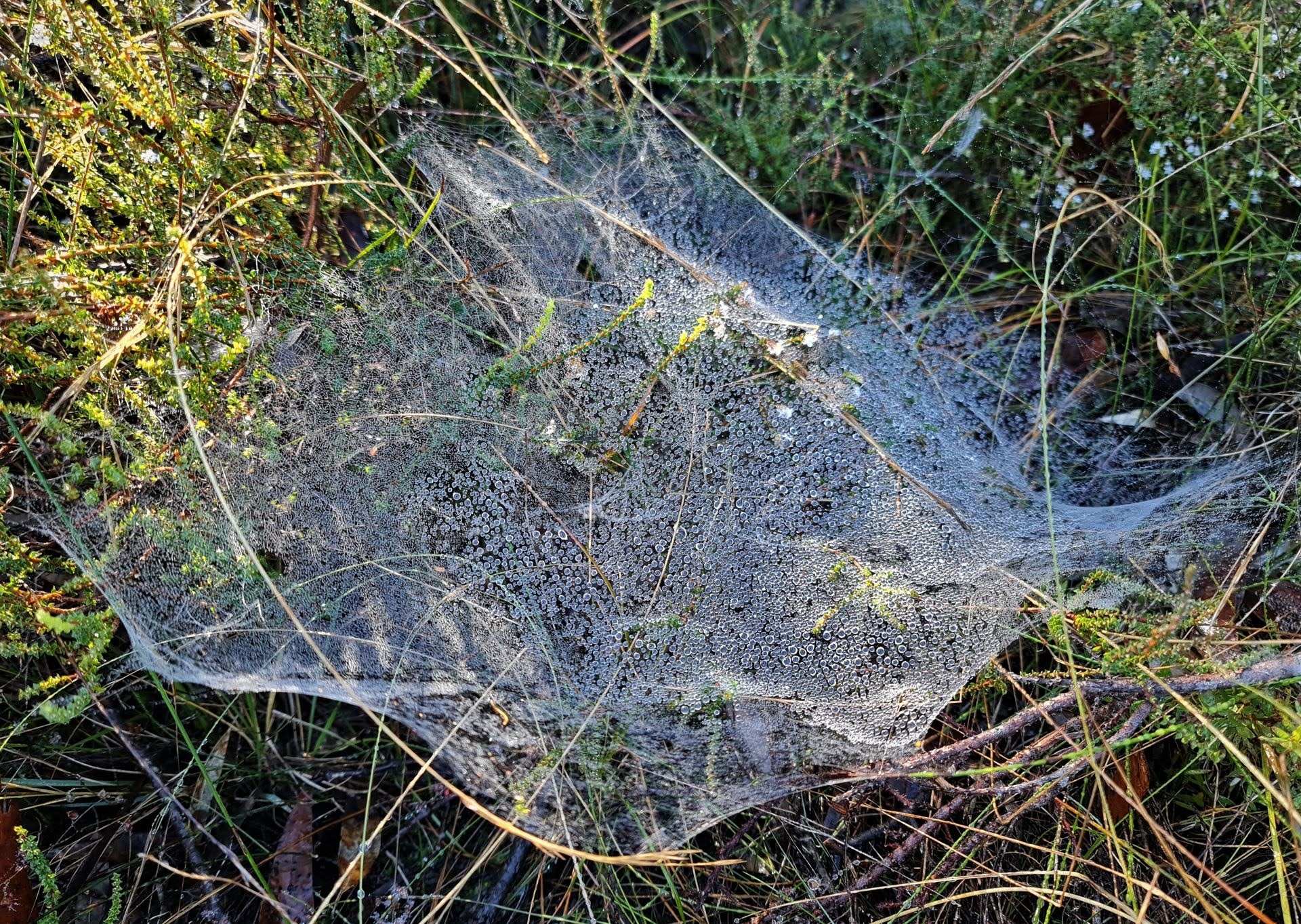
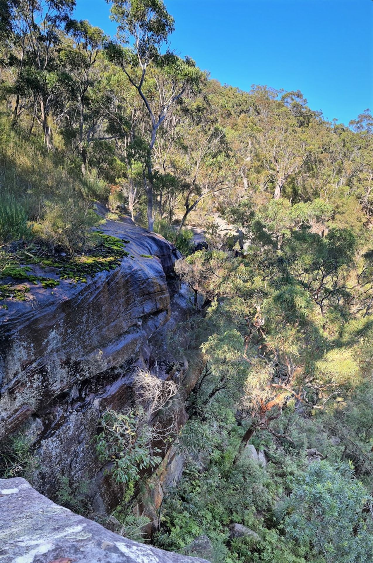
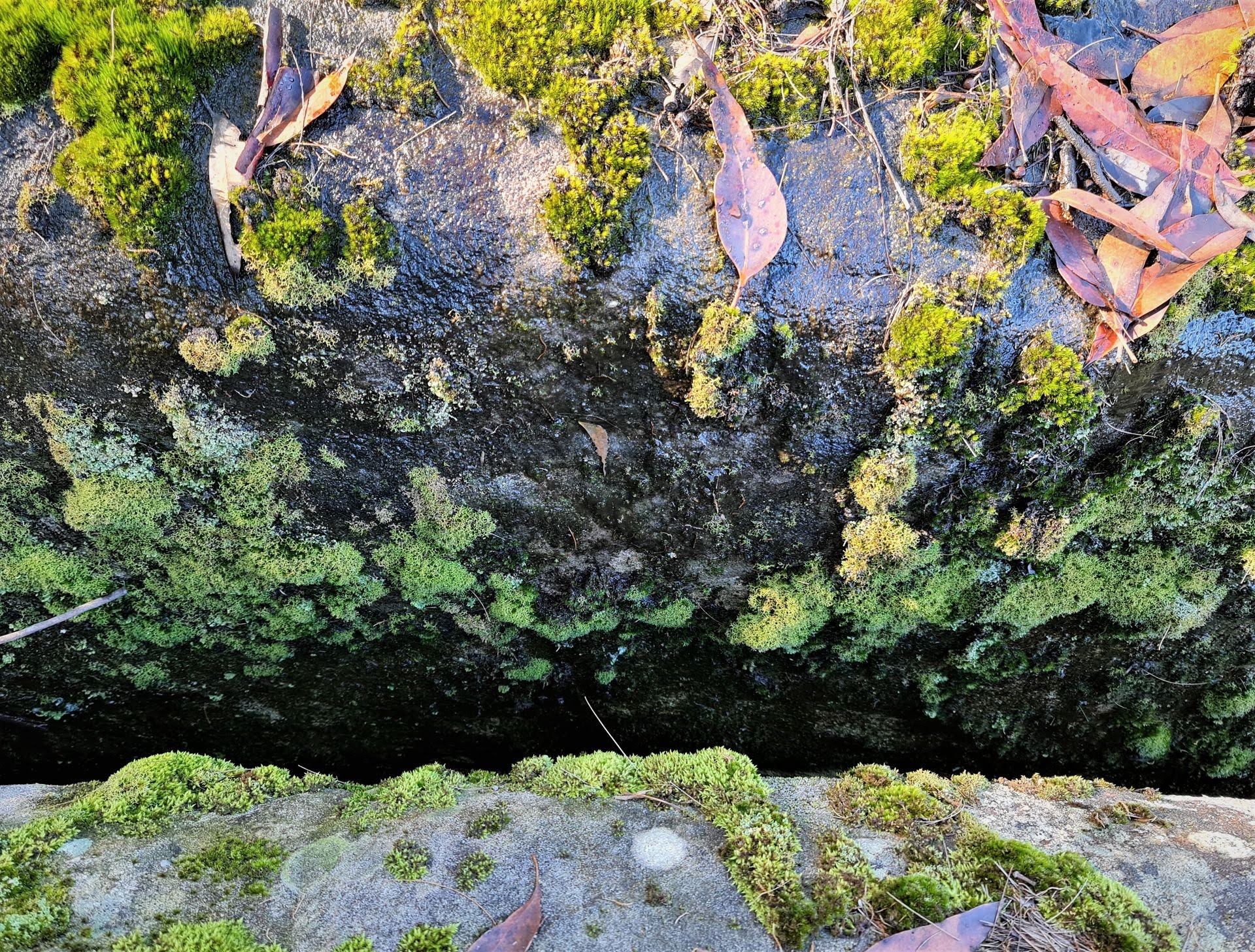
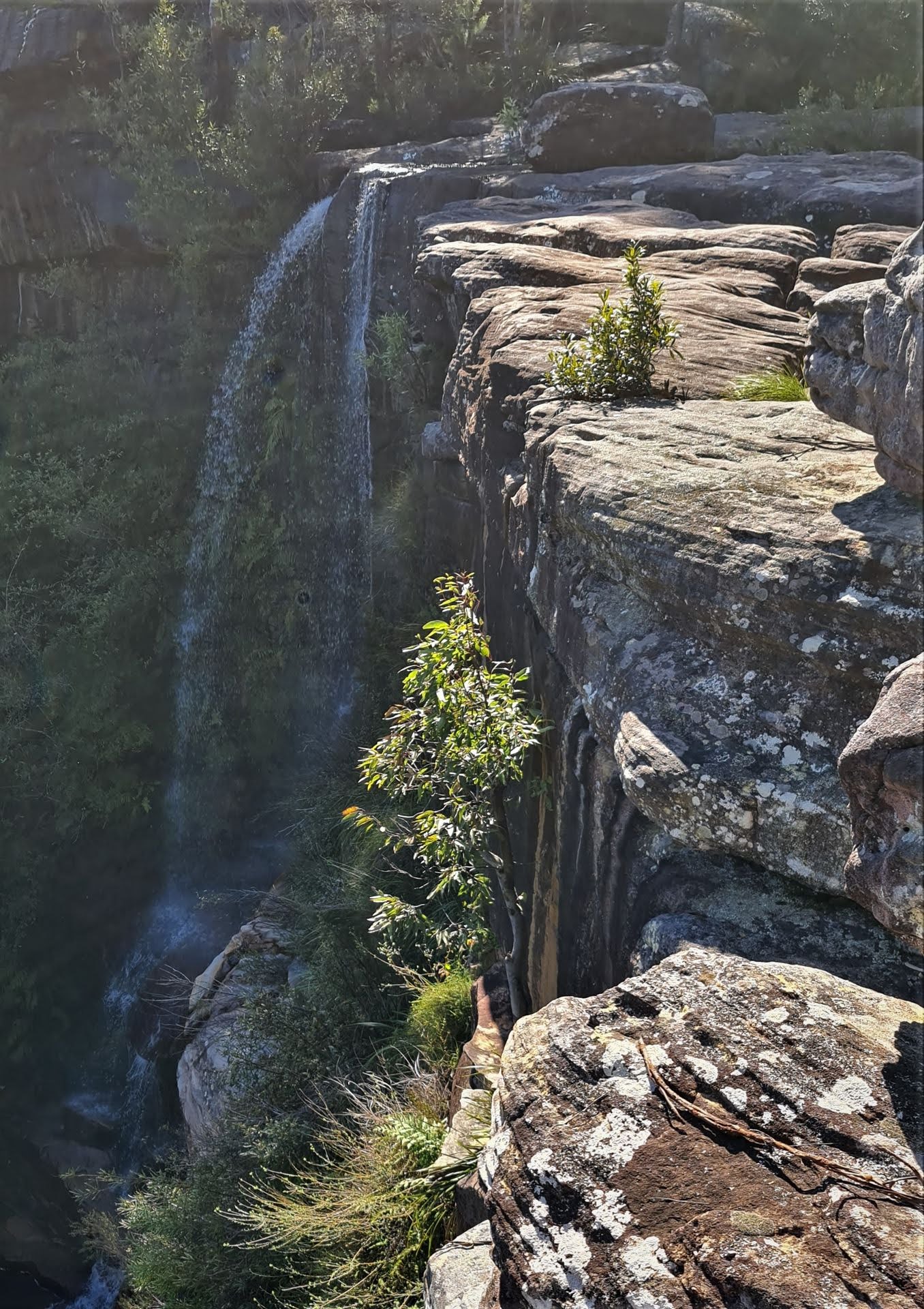
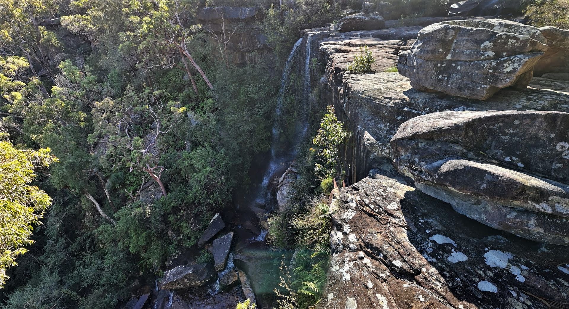
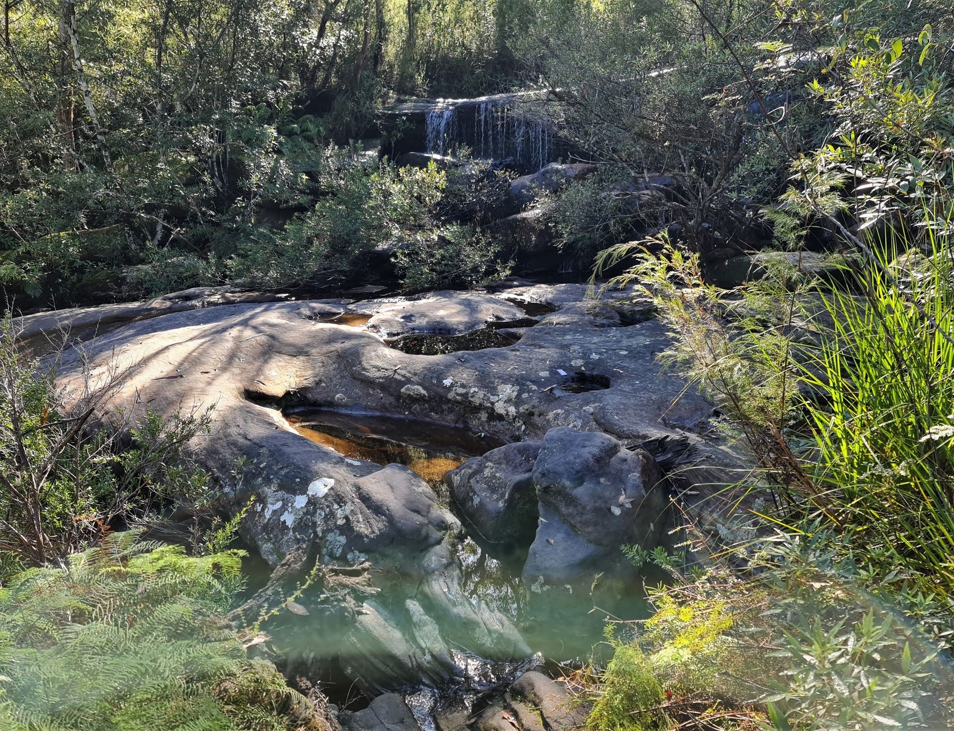
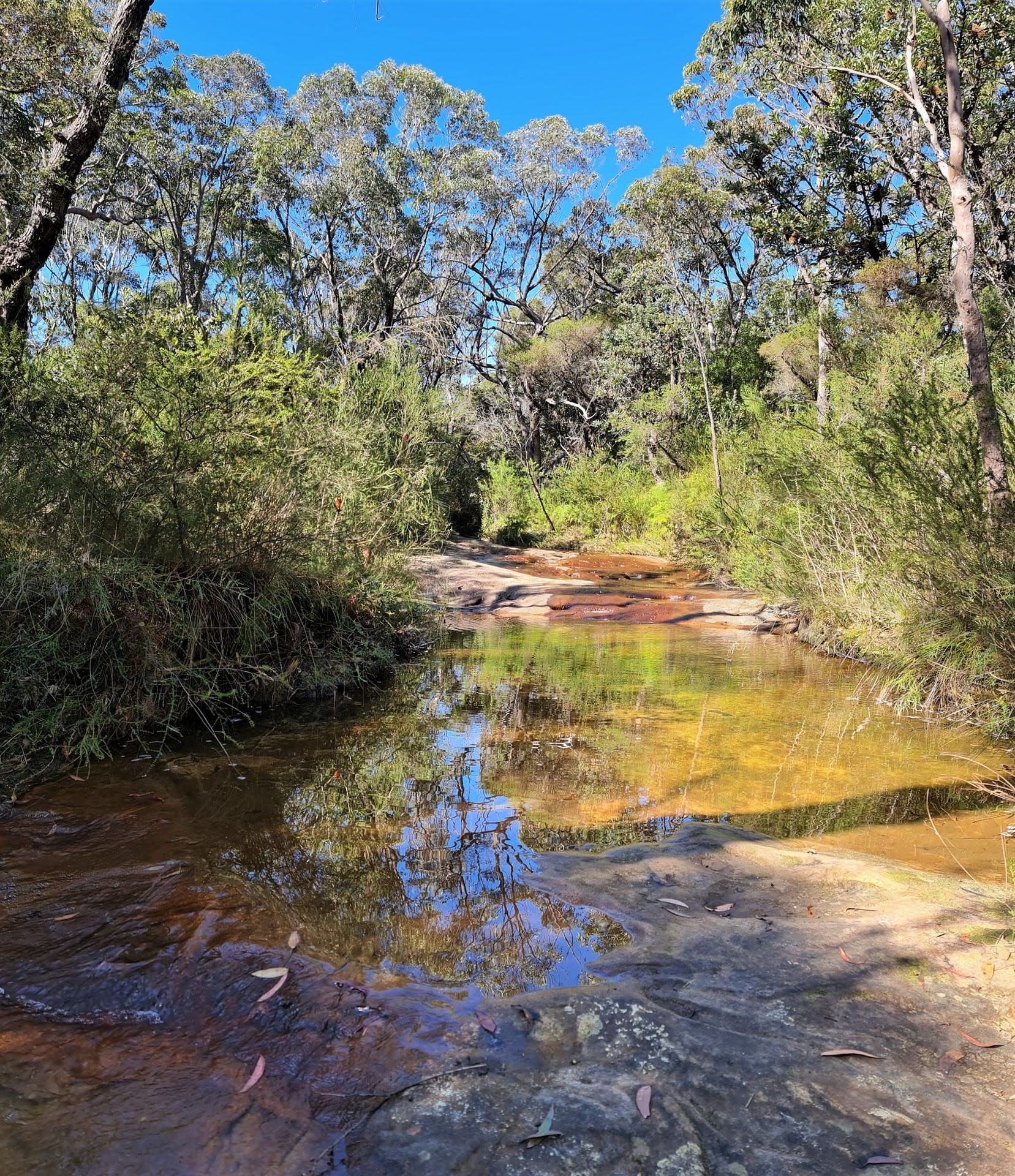
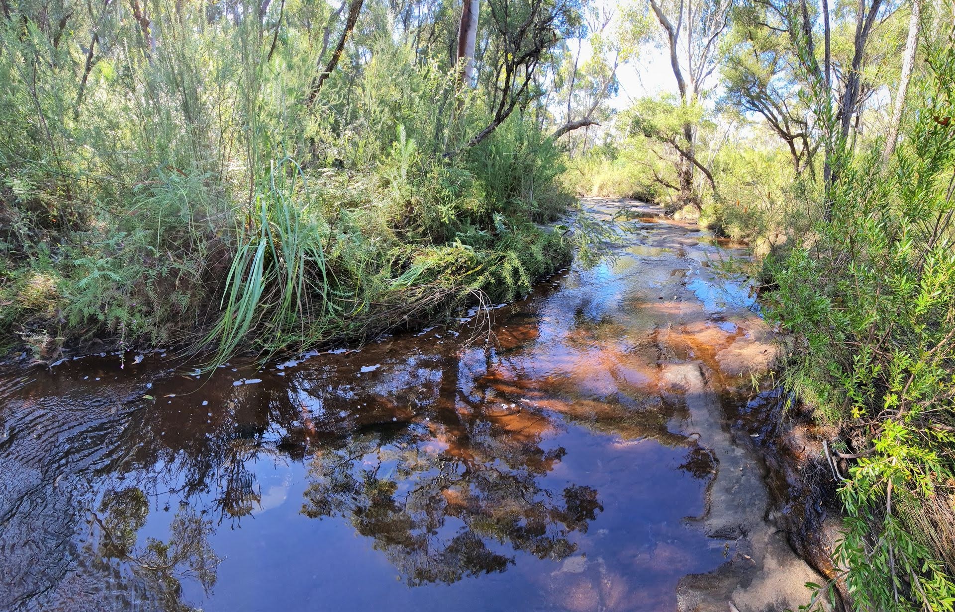
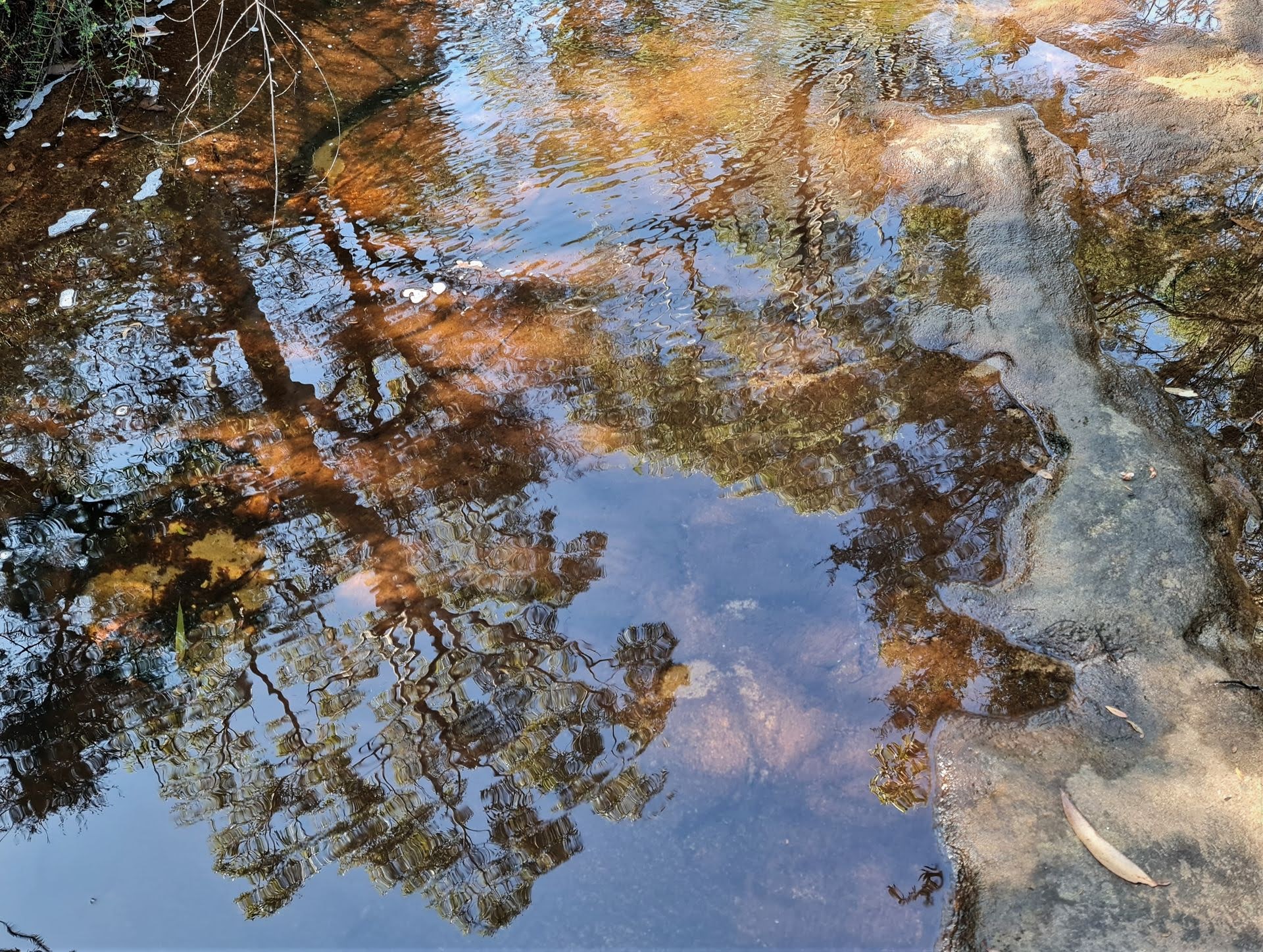
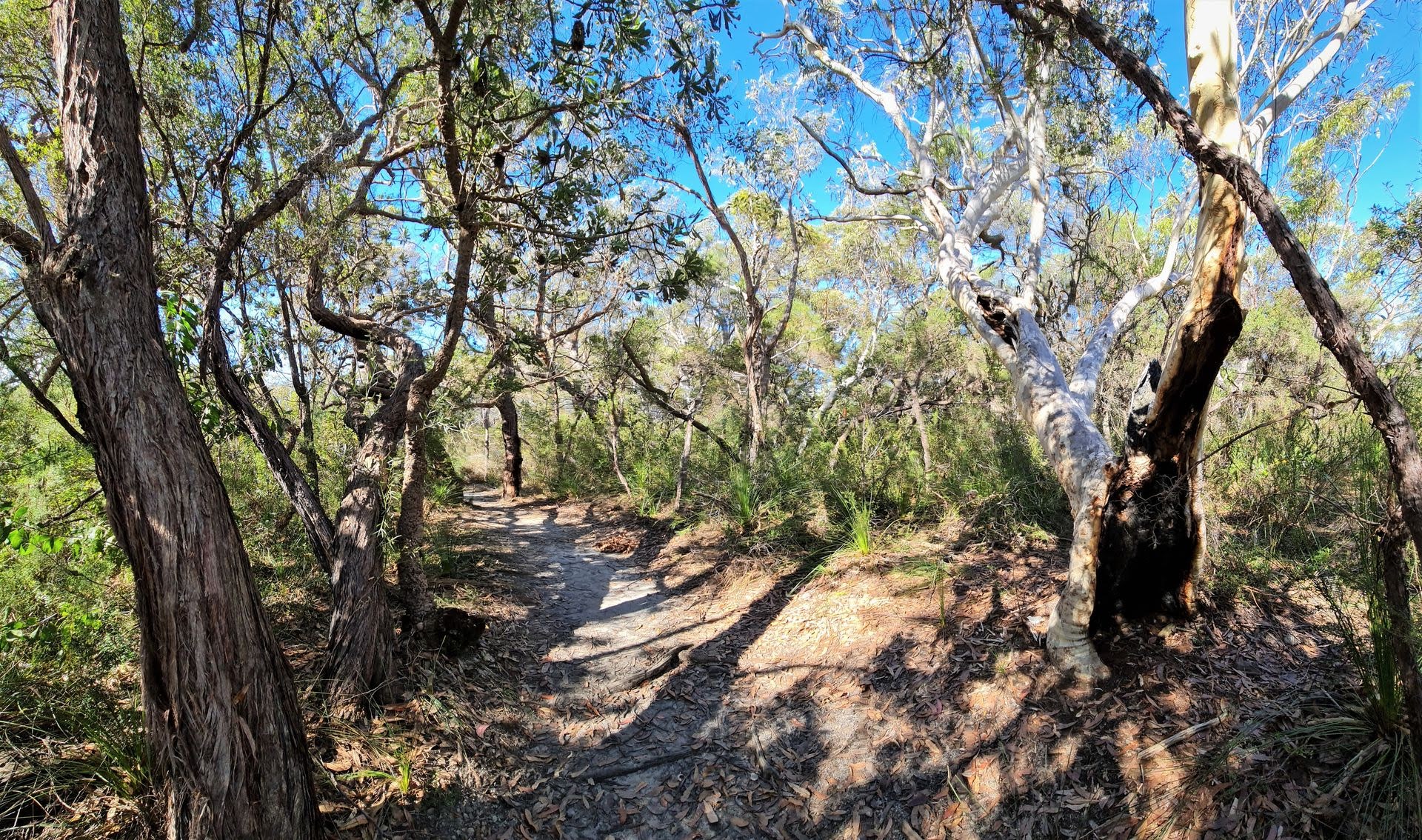
America Bay walking track offers a moderately difficult walk and a great day trip from Sydney with waterfalls, picnicking and Aboriginal engravings in Ku-ring-gai Chase National Park. The track follows a sandstone ridgeline from West Head Road down to America Bay, near the mouth of the Hawkesbury River.
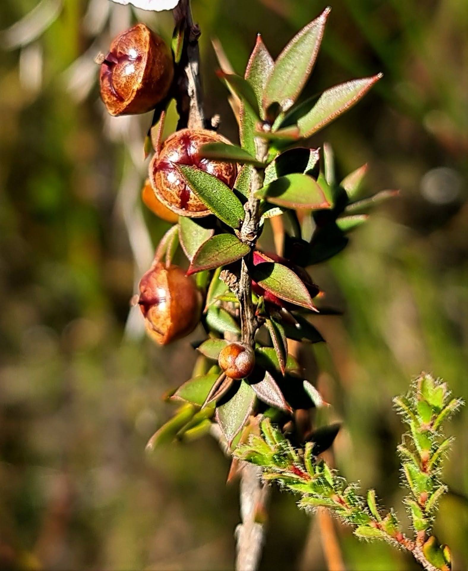
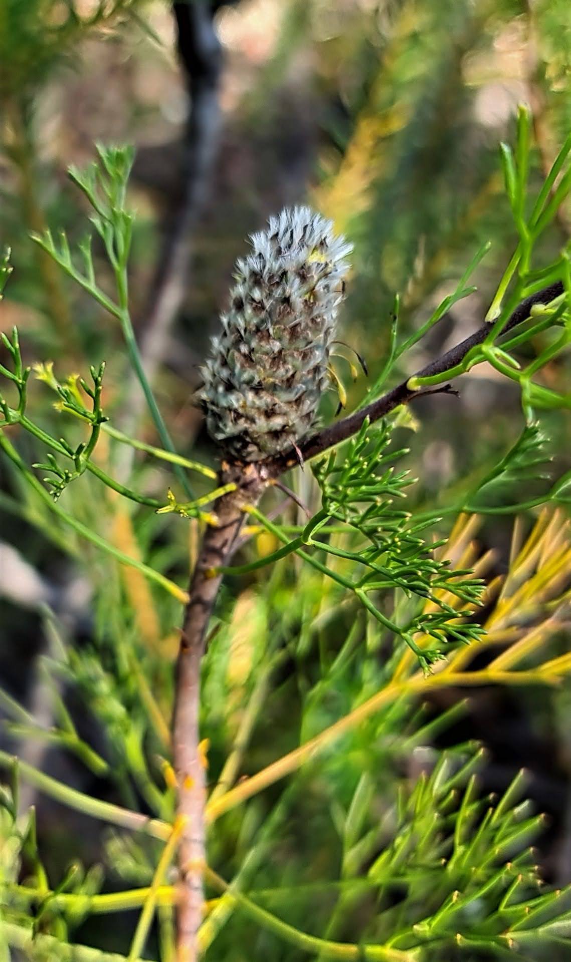
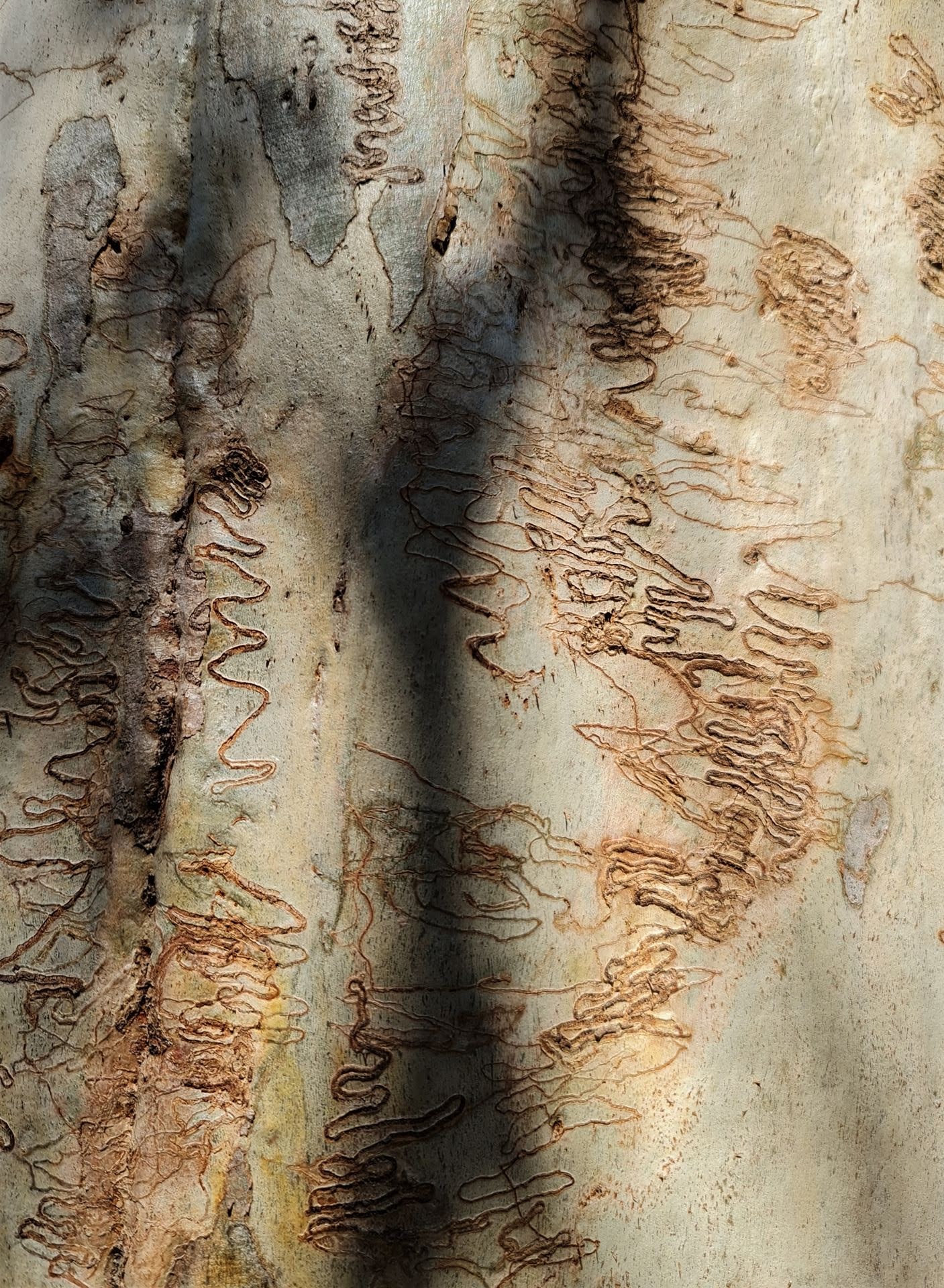
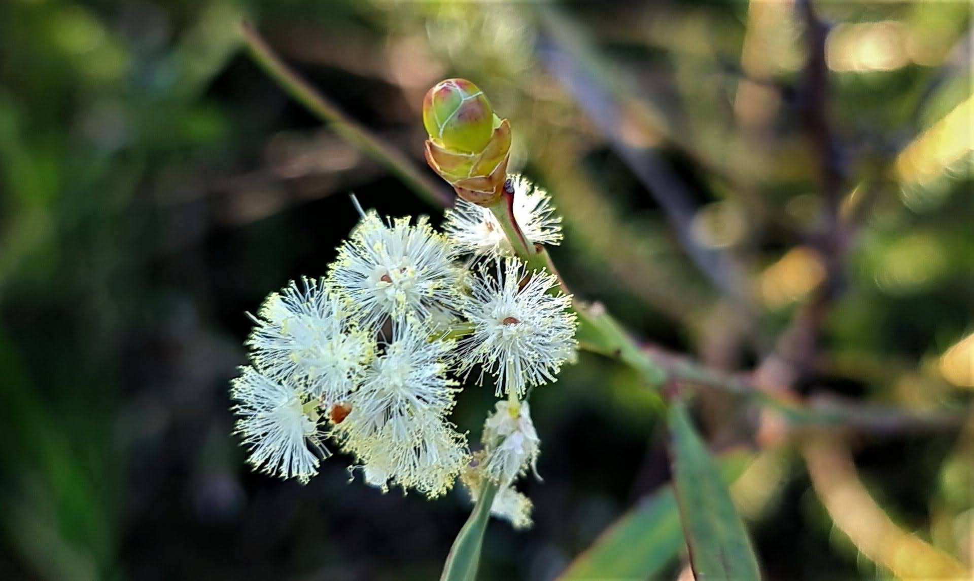
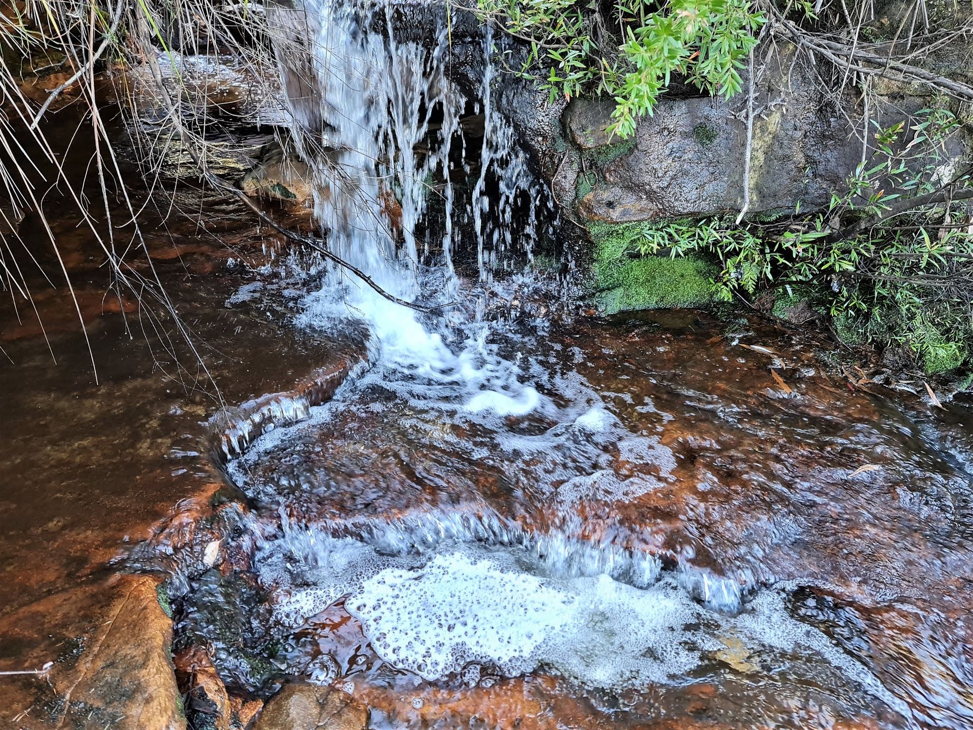
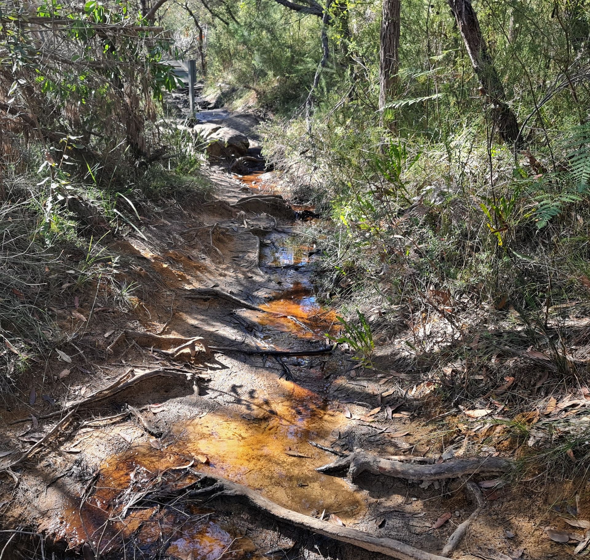
Not far from the beginning of this moderate track, a short detour reveals some fascinating Aboriginal rock engravings on a sandstone shelf. Back on the main track, you’ll descend gradually though woodlands of scribbly gum and bloodwood to a tinkling creek. Follow the stream to a rock platform overlooking scenic America Bay with views across Cowan Water. Here, a small picturesque waterfall cascades over the escarpment.
Distance: 1.8km return
Time suggested: 1 - 2hrs
From the pages of the past:
IN THE KURING-GAI CHASE.
We are giving in this issue a series of new and characteristic views of Kuring-gai Chase, which is to North Sydney what the Nat-tonal Park is to the Illawarra line. The Chase parallel with the North Shore railway line, a miles from it commencing about 10 miles from city, and between Turramurra, Wahroonga, and Hornsby, and the coast, and comprises over 5,000 acres of broken and hilly bush-covered country interacted by a perfect network of deep-water "creeks' which, like the rest of the Hawkesbury system, are really arms of the sea, presenting features somewhat similar to the New Zealand Sounds and the Norwegian Fjords except that here the "mountains," which run so steeply to the water's side, are from 550 to 650 feet high instead of many thousands.
.jpg?timestamp=1653426207159)
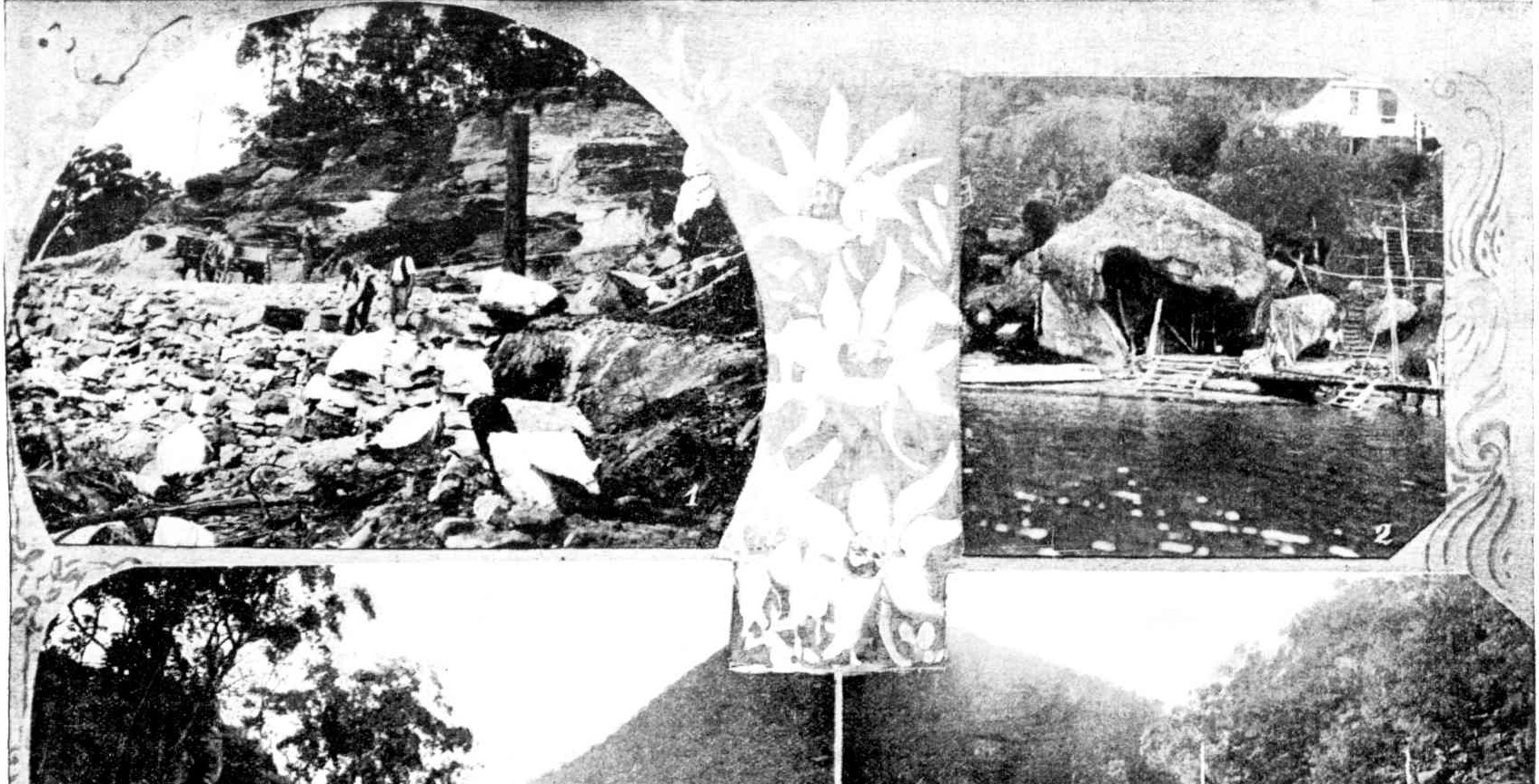
THE TRACK FROM BEROWRA PLATFORM TO WYNDYBANK'S, WHICH DROPS 596 FEET. ON THE PITTWATER -THE PATHWAY FROM LOVETT'S BAY.
It is a singularly interesting and beautiful district, a prefect paradise of delights to the man fond of scenery and the open air, of fishing and climbing and botanising and boating. It is one of the most lordly pleasure grounds in the world, yet comparatively few of the city dwellers realise what is so easily within their reach. Yachting men have long been familiar with the lower reaches of the Cowan and its tributaries, and revel in the delights of a cruise or a camp at Refuge Buy, or 'Coal and Candle.' For a generation the ' old hands of Lane Cove and North Sydney hunted in its fastnesses until they made the marsupial life which once teemed al most extinct. No one seems to have seen all the possibilities, however, till Mr. E.Du Faur, who had rendered such valuable service to the community already on the National Gallery Trust, and in the opening out of Blue Mountain scenery, as well as in a variety of others ways, was incited to visit the Cowan by the enthusiastic accounts of his sons, who used to camp there. He was delighted with the whole place, and in October, 1892, submitted to the then Minister for Lands, the Hon. H. Copeland (but the other day appointed Agent-General), a proposition that so beautiful a tract of country, and the waters dividing it, should be preserved for ever in a state of nature as a national park. It was not till a year after that Mr. Copeland was able to go and see for himself, but the visit made him immediately an apostle of the scheme, and after the necessary survey's was completed the 'The Kuril g-gai Chase ' was gazetted in June, 1894.
The original idea was to call it 'The water park for North Sydney' in recognition of its superb series of waterways, but Mr. Copeland chose instead an aboriginal term understood to be descriptive of the native tribes who must formerly have been in great numbers about the distiict, since everywhere are signs of their former occupation in the way of ''kitchen middens,' cave dwellings, aud rock carvings.
A board of trustees was appointed, of which Mr. Du Faur was made managing trustee. The choice proved most happy, as that gentleman has devoted himself heart and soul to the preservation and development of the magnificent pleasure ground, carefully husbanding the very limited funds placed at the disposal of the trust by the Government, (in strong contrast to the provision made for the southern National Park). He has explored various areas, laid out tracks and roads, which presented decided engineering difficulties owing to the nature of the country, supervised every step of their construction, and generally cared for the trust. And all his work has been purely honorary.
When the park was first gazetted practically the only access to it was by steamer or sailing boat. Now the the visitor from Sydney can drop off the railway at Pymble, Turamurra. and Wahroonga, and drive down good roads to Bobbin Head, roughly about seven miles. There he can hire boats to go.
Or he can drive from Hornsby by Colah, a few miles down to the Cowan shore', or at Berowra can leave the train and take a short walk down to Windybank's houseboats and rowing boat'. From the Manly side he can get to the pier-at Pittwater, and thence over that section of the park, or he can get round by steamer through the ocean entrance past the picturesque Lion Rock and Elliot lsland. On all the driving roads and most of the tracks made by the trustees there are horse paddocks, and there is water carried in pipes from gully dams.
.jpg?timestamp=1653426238197)
A VIEW OVER PITTWATER FROM THE ZIG-ZAG ON FLAGSTAFF HILL.
.jpg?timestamp=1653426263560)
A GLIMPSE FROM THE FRESH-WATER DAM BEHIND THE TRUSTEES' HOUSE-BOAT, IN KURING-GAI BAY LOOKING DOWN COWAN FROM BOBBIN ROCK (NEAR SHAW'S BOAT-SHED
SNAPSHOTS IN KURING-GAI CHASE.
.jpg?timestamp=1653426329846)
.jpg?timestamp=1653426364175)
The official headquarters are in one of the bays in this central section— Kuring-gai Bay — wherein floats the house-boat of the trustees. It is a simple but very neat and well constructed house-boat, on which the managing trustee has copies of all the maps and plans existing relating to the reserves. Behind is a dam of good fresh water, and what will be the main track into the ' marsupial paddock.'' The house-boat, and the kerosene launch which does most of the work of the trustees, are both under the charge of the launch engineer, Mi. Paterson, an ingenious ex-man -of-warsman, who, like the overseer of the park works, Mr. George Lee, is an institution of the place. Our picture of the house-boat was taken in the very early morning last week, just when the sun first touched it. IN THE KURING GAI CHASE (1900, April 7). The Sydney Mail and New South Wales Advertiser (NSW : 1871 - 1912), p. 808. Retrieved from http://nla.gov.au/nla.news-article165296463