July 13 - 19, 2014: Issue 171
A Stroll Through Warriewood Valley with David James OAM - A Living Wetland
 Over 30 years ago a large group of people, many of whom had grown up splashing and playing in the creeks and watered wetlands of Wariewood, Ingleside and Narrabeen had a vision - how did they ensure that their children and grandchildren would be able to do the same?
How do you create 'a Living Wetland' and convince others to set aside and keep alive such large tracts of land - this was a big vision - it included from where Kimbriki tip is now to Narrabeen lagoon and encompassed the whole of Warriewood Valley, the largest remaining sandplain wetland in Sydney.
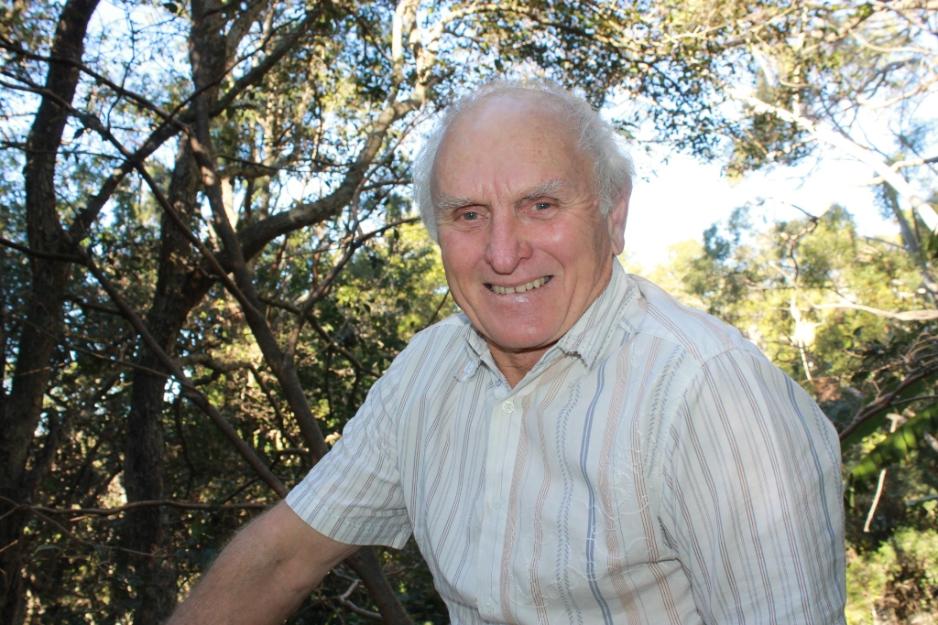
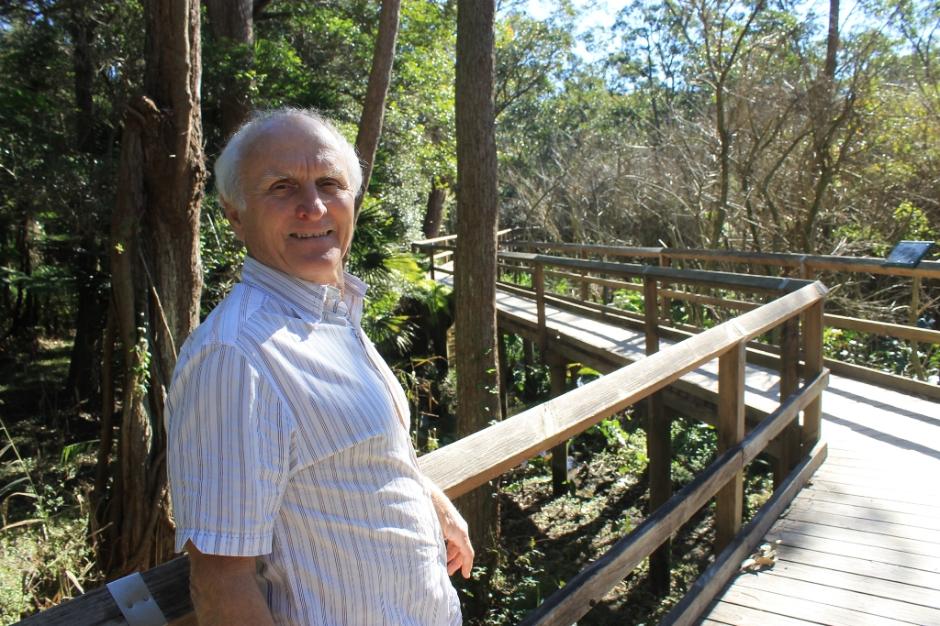
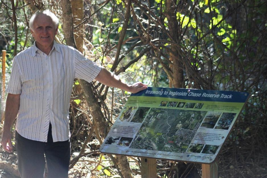
This week we commenced charting this shift in the fate and future of Warriewood, Ingleside and Narrabeen with one of those who was there, former Mayor of Pittwater and Councilor at Warringah Shire Council, David James OAM.
That 'history' we shall bring you to celebrate the commencement of Spring, the renewal season. For now we share part of that research; a stroll among sections of the living wetlands and some visions from part of the Vision itself.
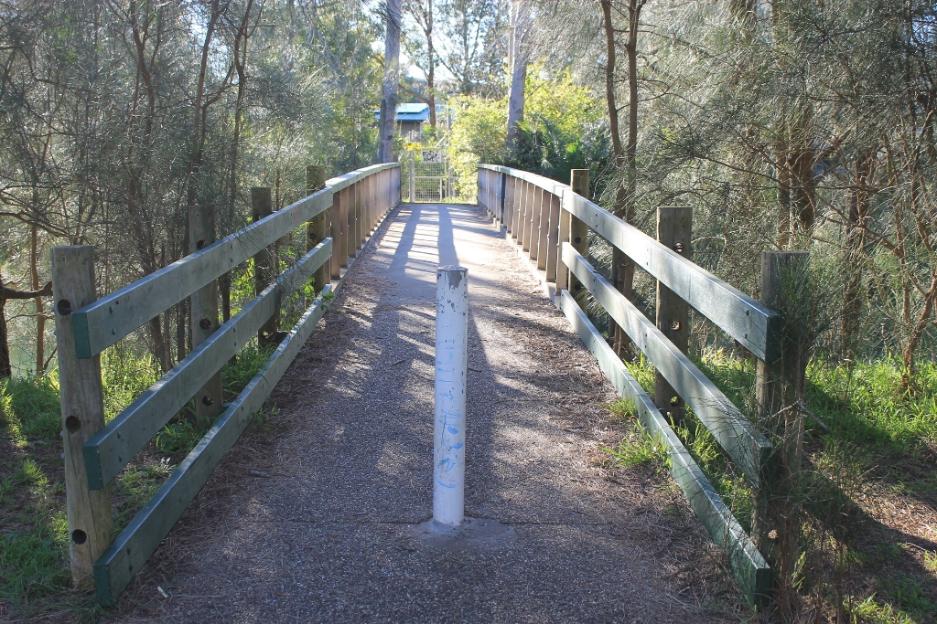
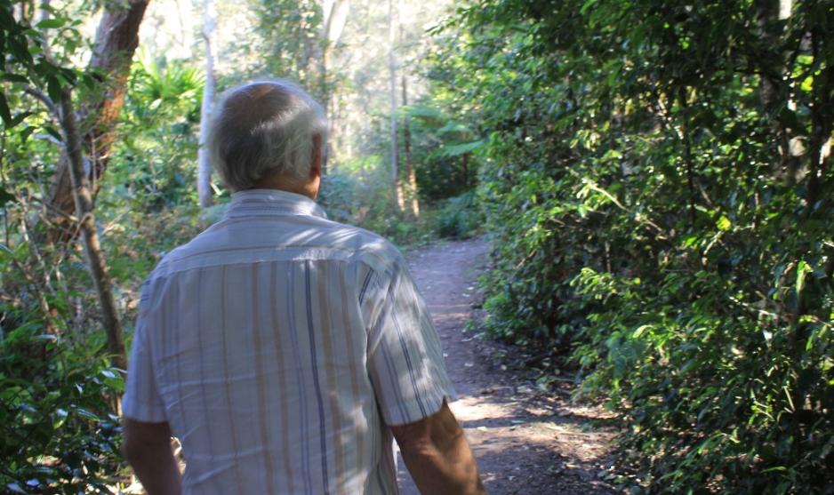
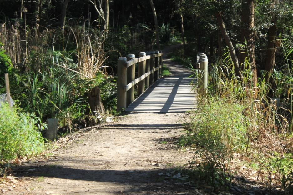
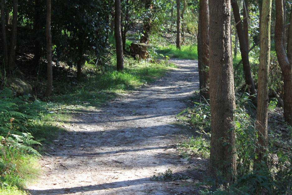
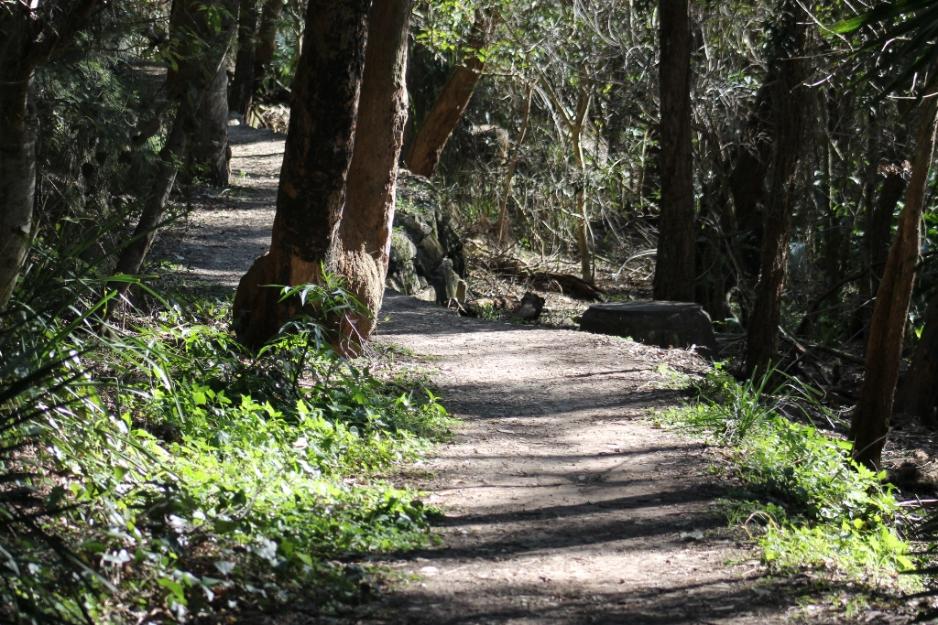
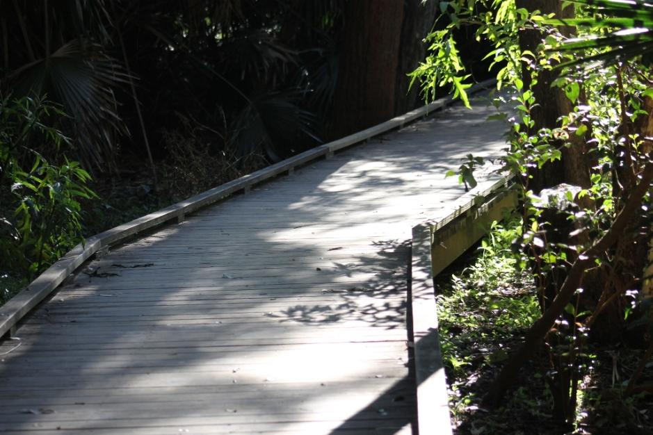
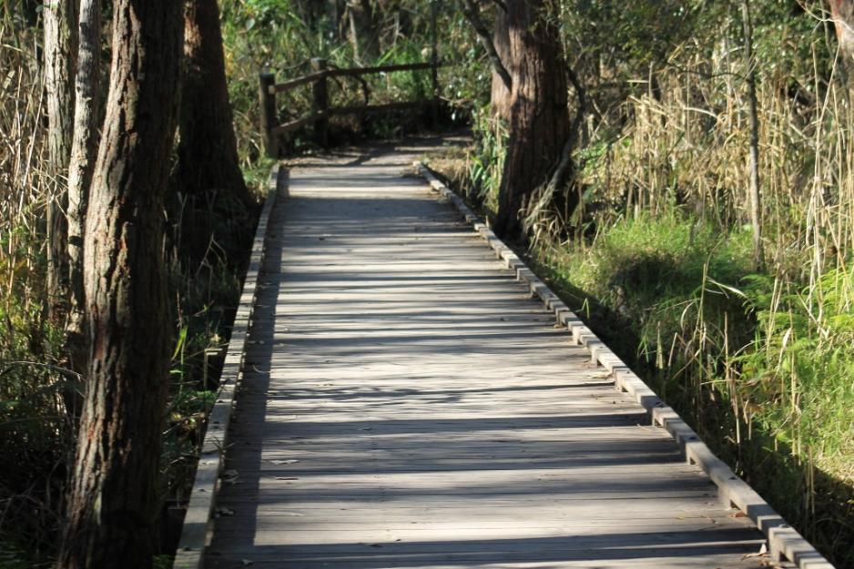
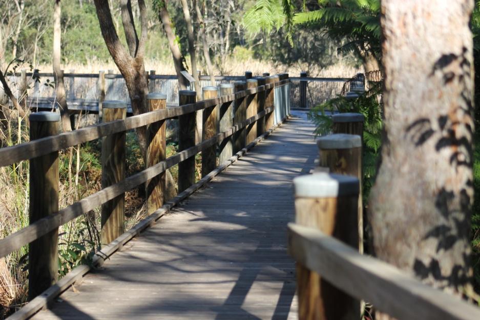
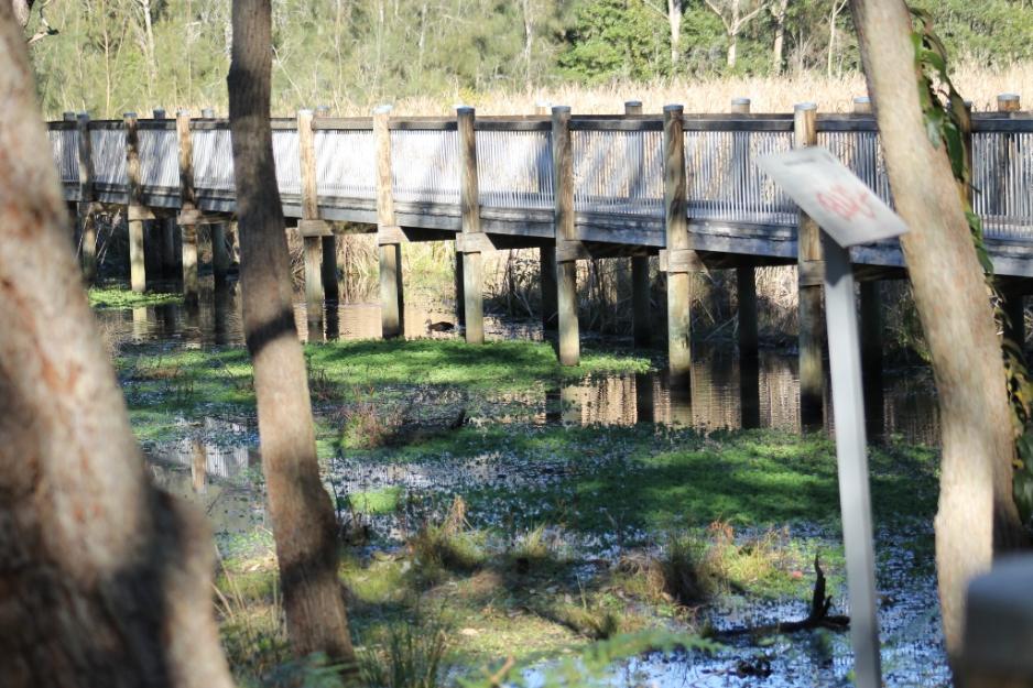
Unlike our gamboling on Bangalley Headland last week, this area has flat paths and bridges, perfect for those who prefer a more accessible bushland reserve to walk among.
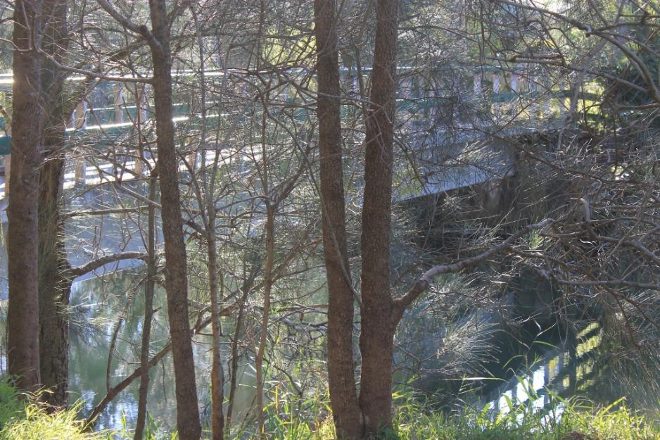
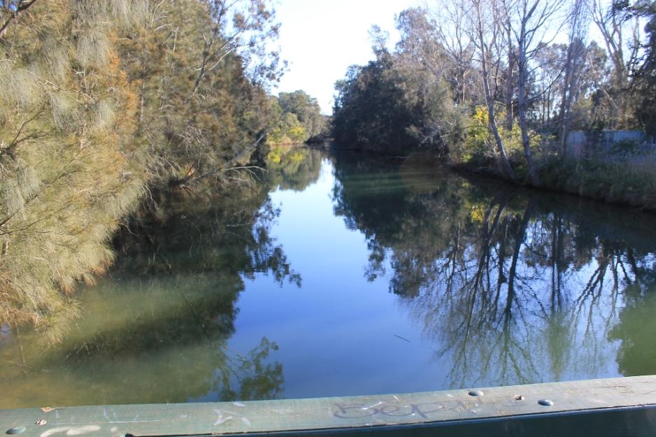
From Narrabeen Lagoon up Mullet Creek
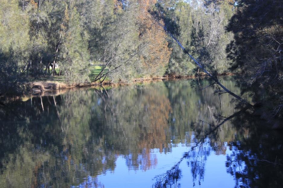
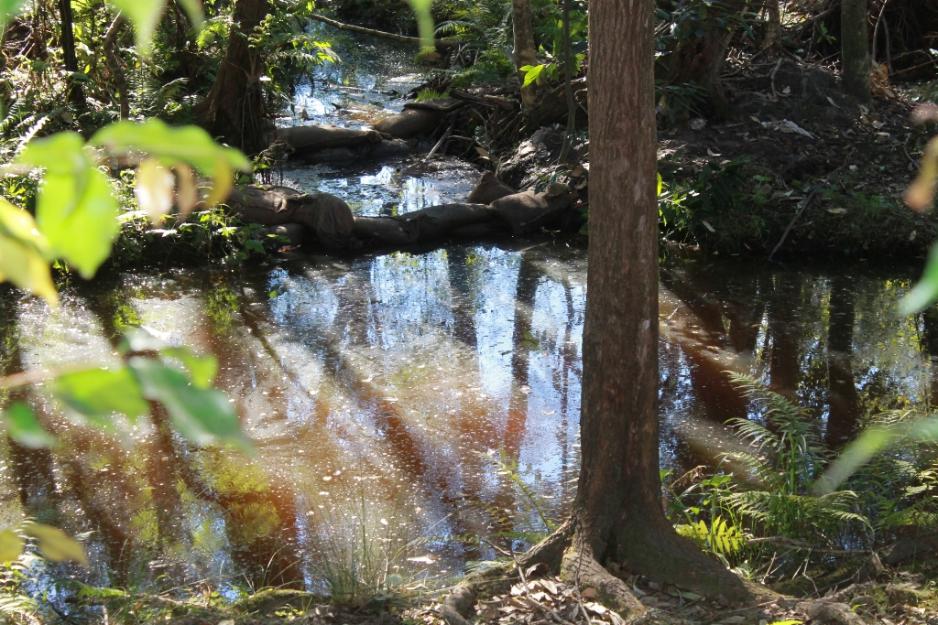
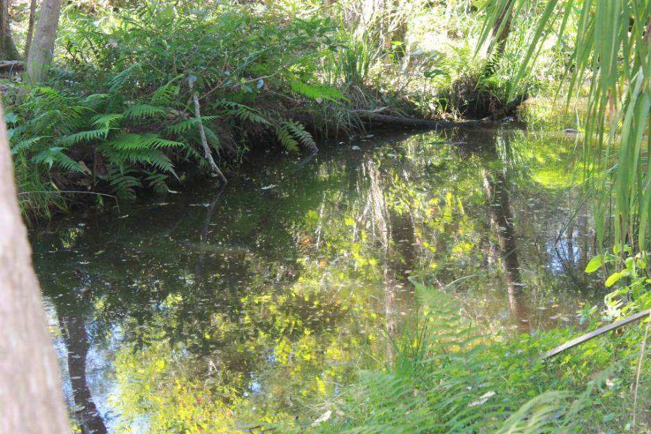
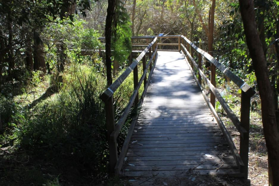
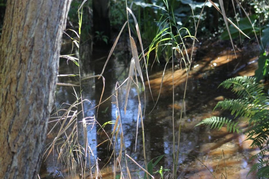
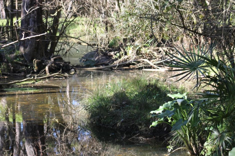
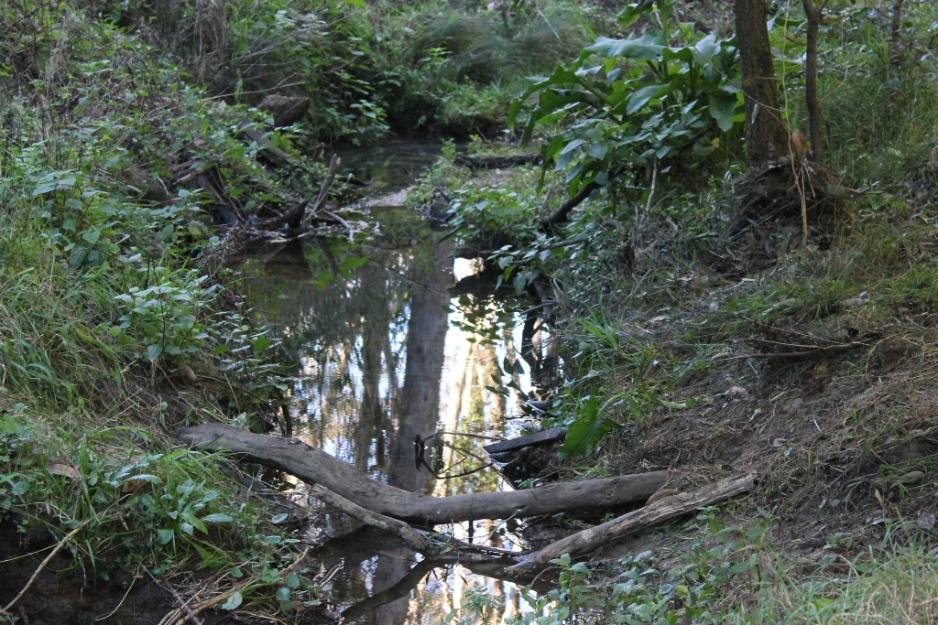
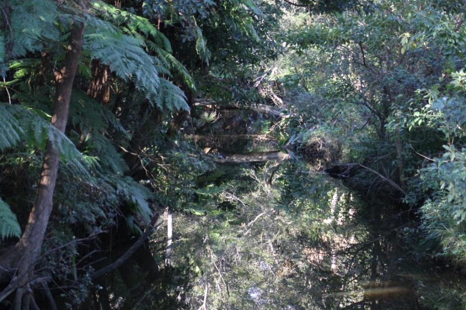
Mullet Creek runs through all three reserves, the Warriewood-Ingleside Escarpment, adjoining Irrawong Reserve and Warriewood Wetlands before flowing into Narrabeen Lagoon.
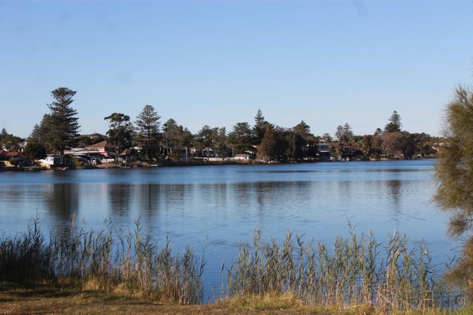
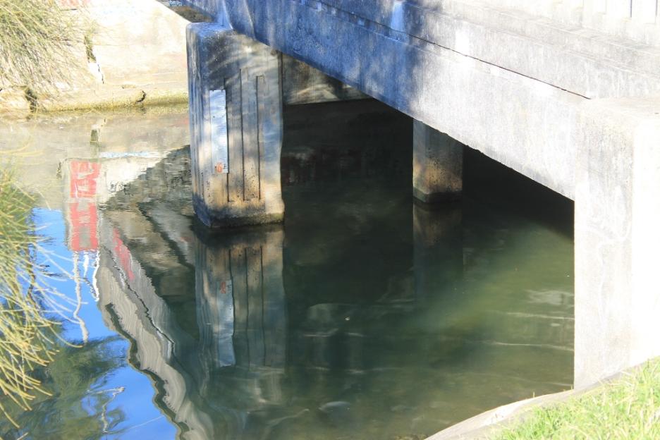
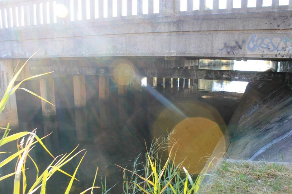
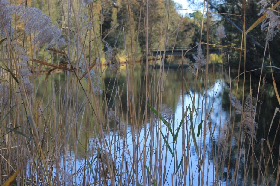
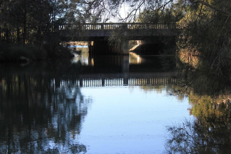
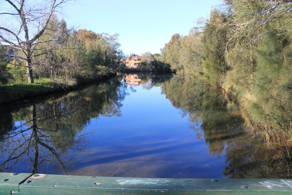
Above: South to Narrabeen Lagoon. Below: North view from bridge.
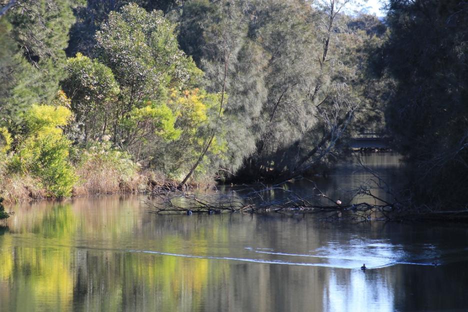
Irrawong Creek
The creek flows through Irrawong Reserve at Garden Street Warriewood, an area of 4.5 hectares, which links the Ingelside to Warriewood Escarpment with the Warriewood Wetlands.
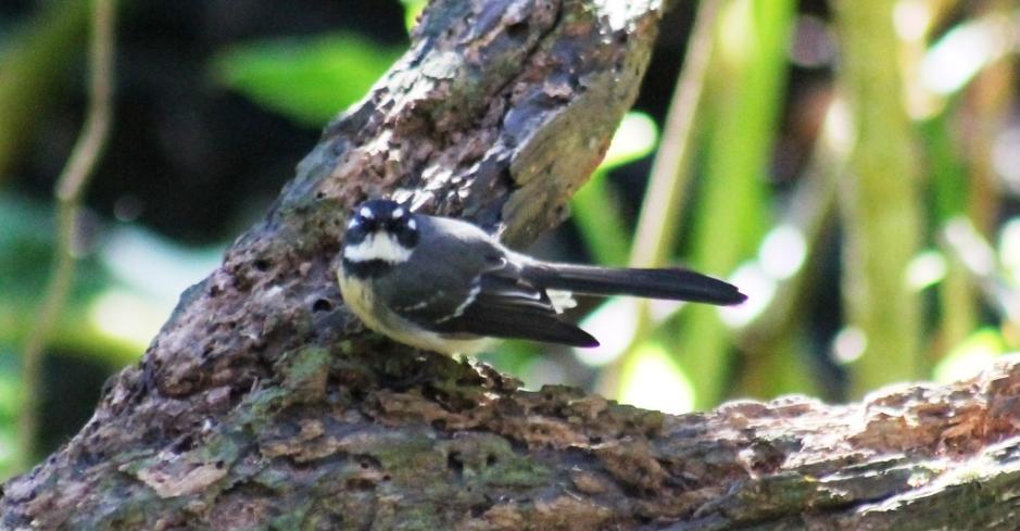
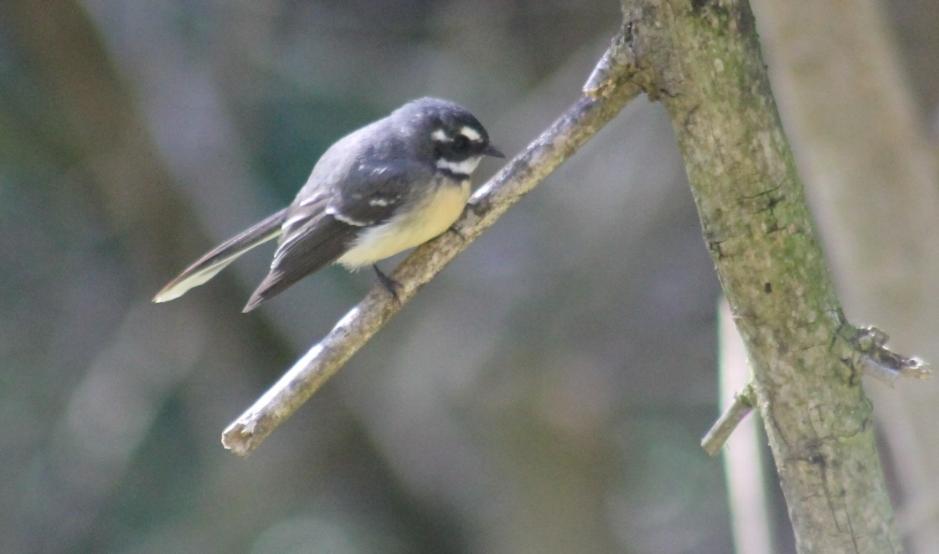
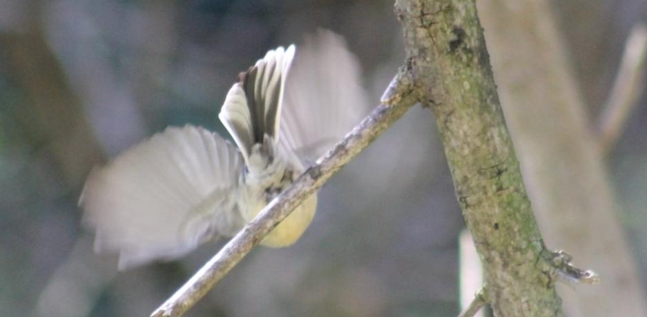
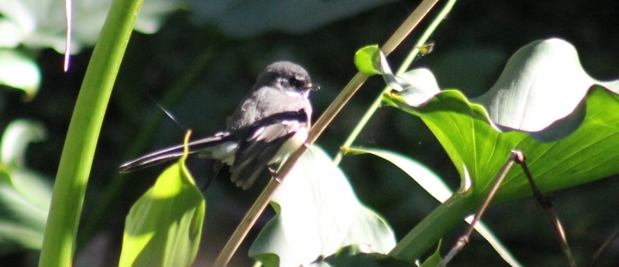
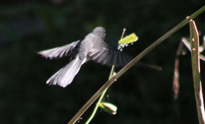
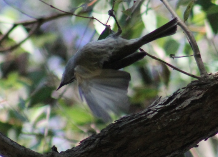
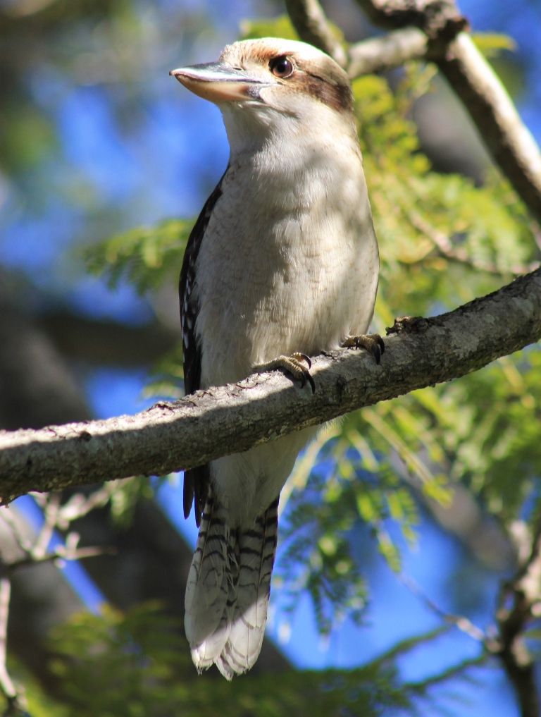
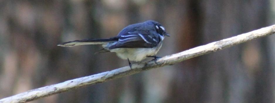
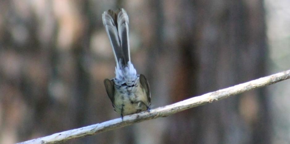
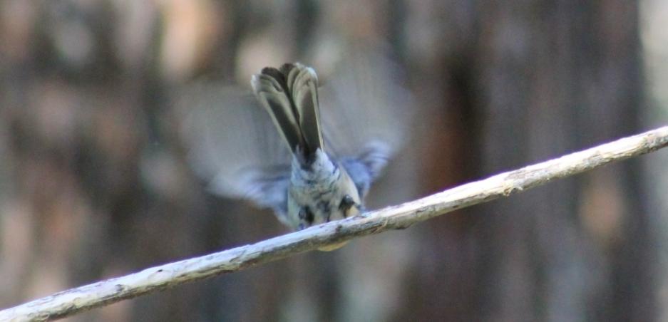
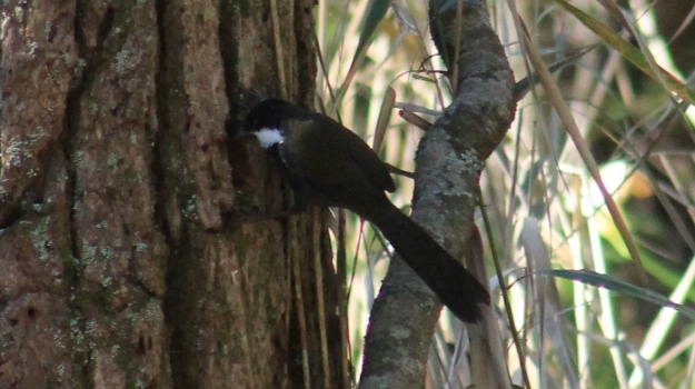
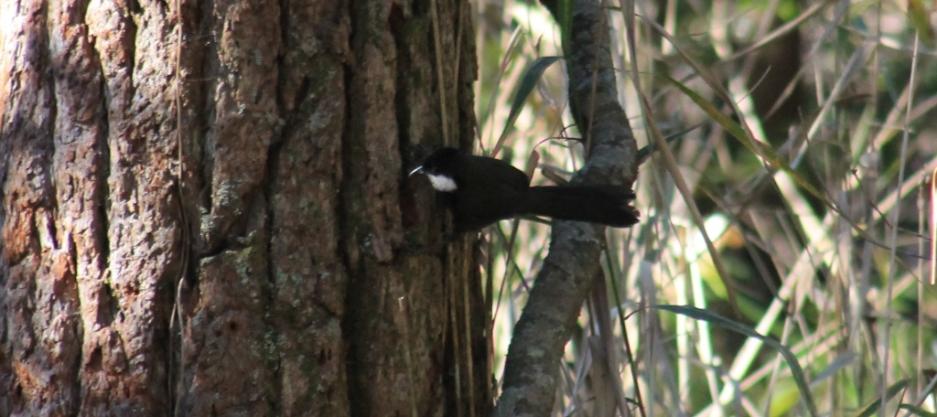
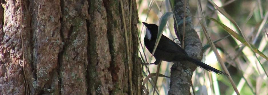
Grey Fantail - Rhipidura fuliginosa
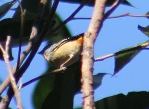
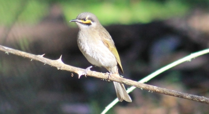
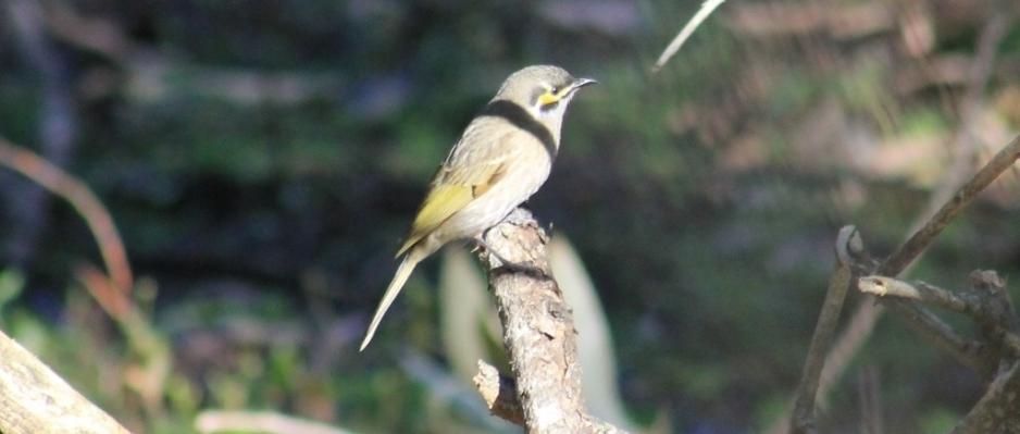
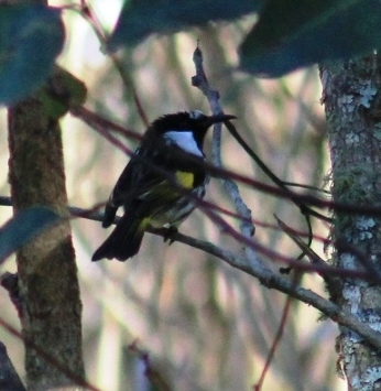
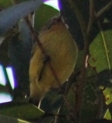
Yellow-faced honeyeater - Lichenostomus chrysops

Stopped - gazing at a very tall tree 'What a beauty...that one has been here for a while now...'
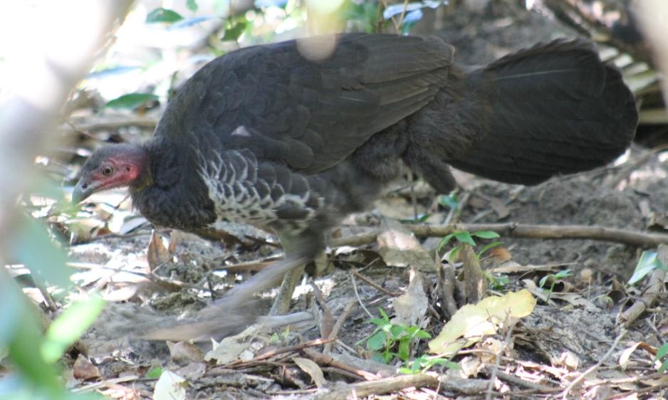
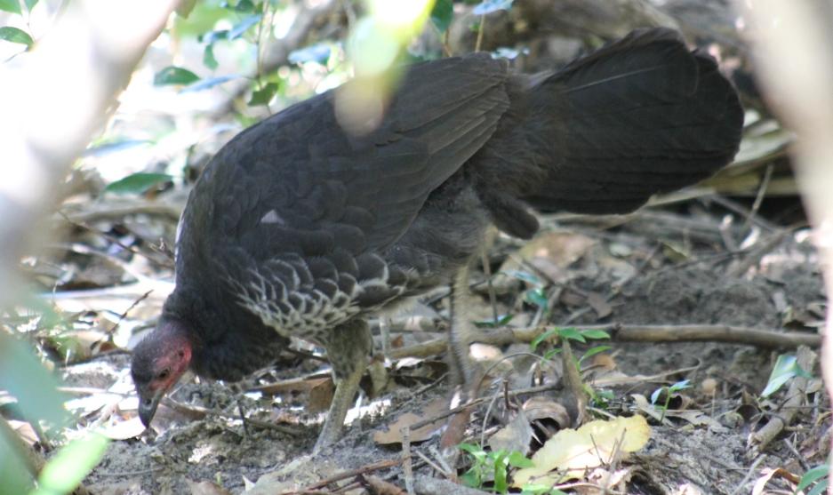
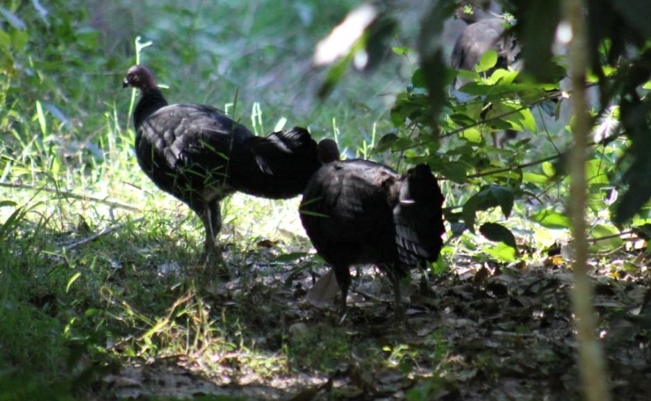
Brush Turkey - foraging - Alectura latham
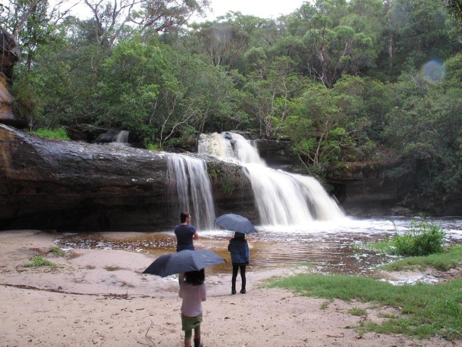
Irrawong Waterfall
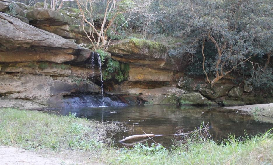
The waterfall in flood on 2/2/13. Photo by Marita Macrae.
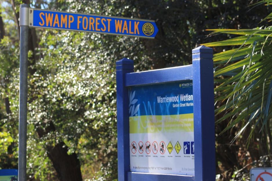
Warriewood Wetlands
The Warriewood Wetlands are 26 hectares in size, making this wetland the largest remaining sand plain wetland in the northern Sydney area. It has living Swamp Sclerophyll Forest, Freshwater Wetlands and Swamp Oak Floodplain Forest, all listed as endangered ecological communities in NSW.

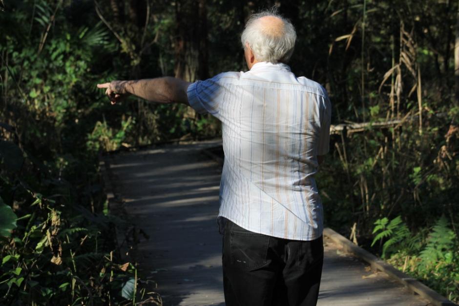
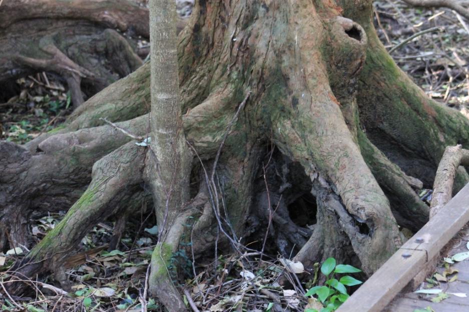
David pointing out Swamp Mahogany - Eucalyptus robusta - root system below
Eastern Australian Whipbird - Psophodes olivaceus
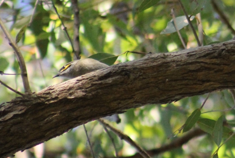
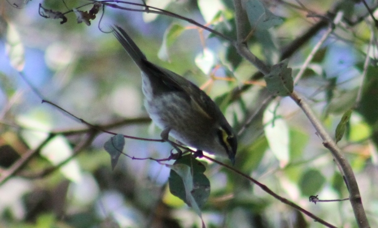
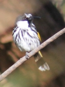
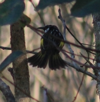
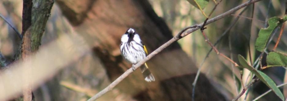
White-cheeked Honeyeater - Phylidonyris niger
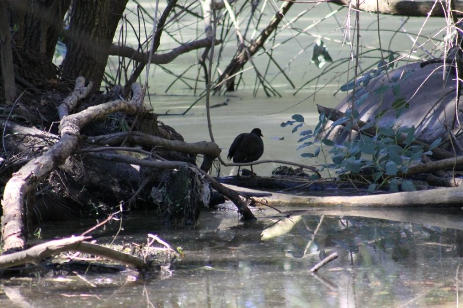
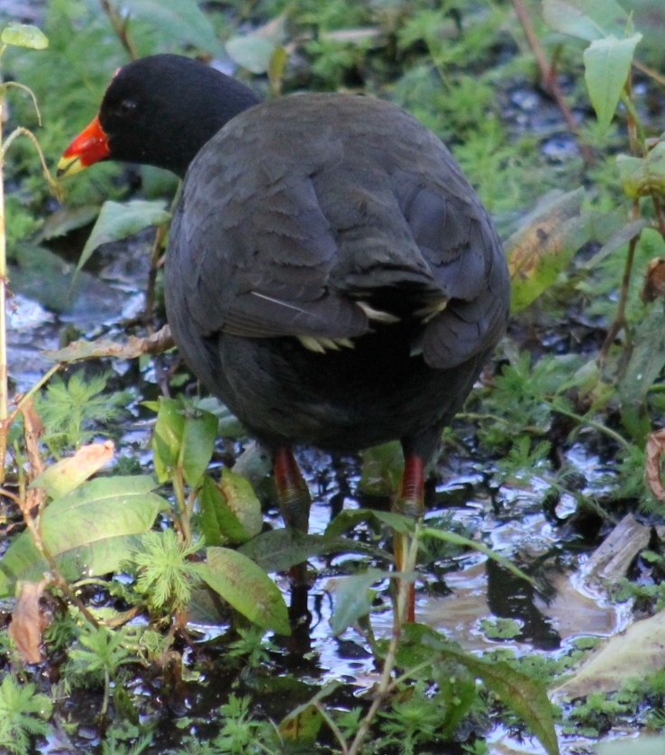
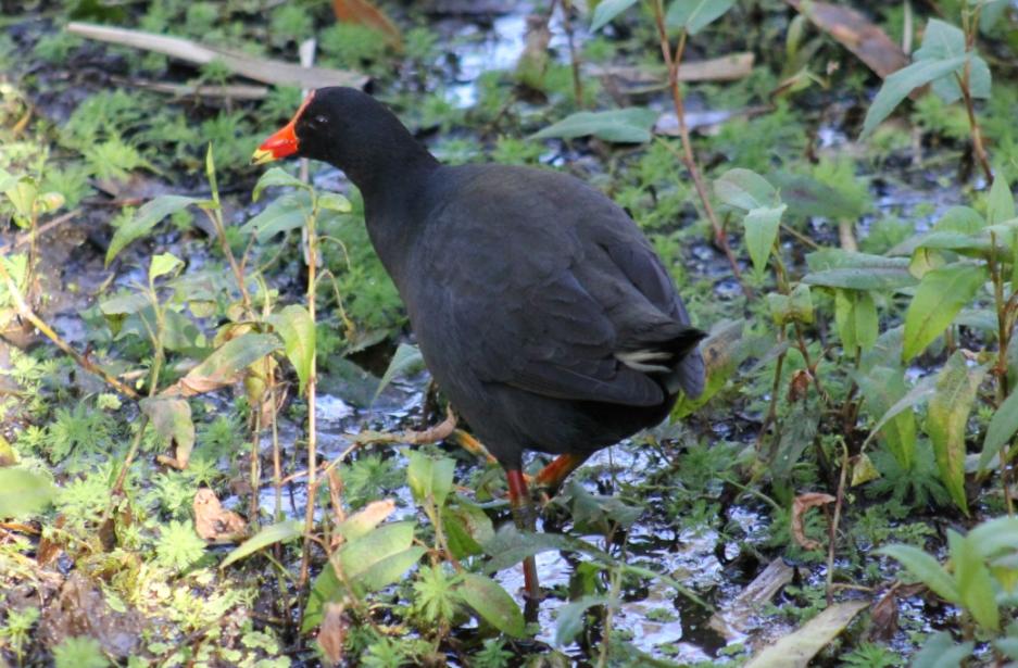
Dusky Moorhen - Gallinula tenebrosa
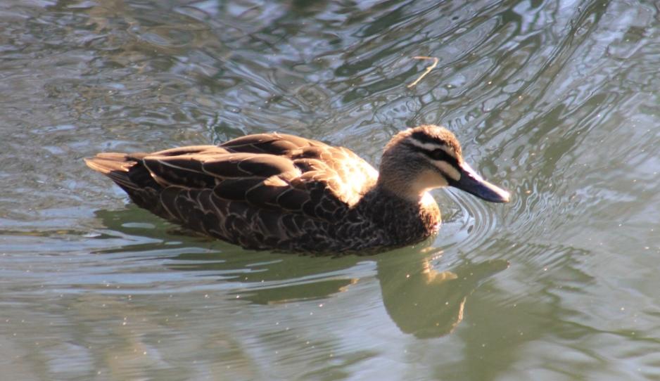
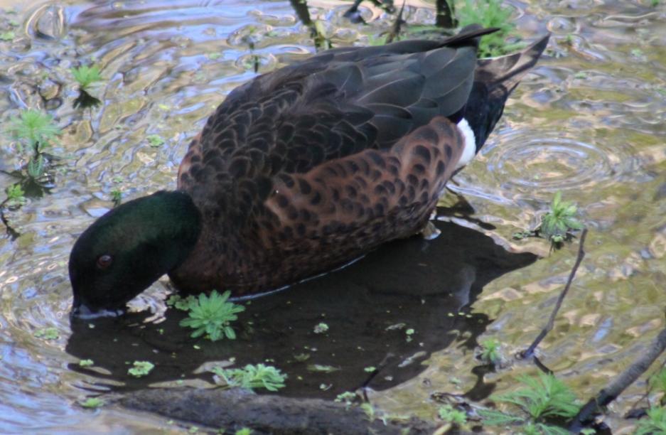
Chestnut teal - Anas castanea
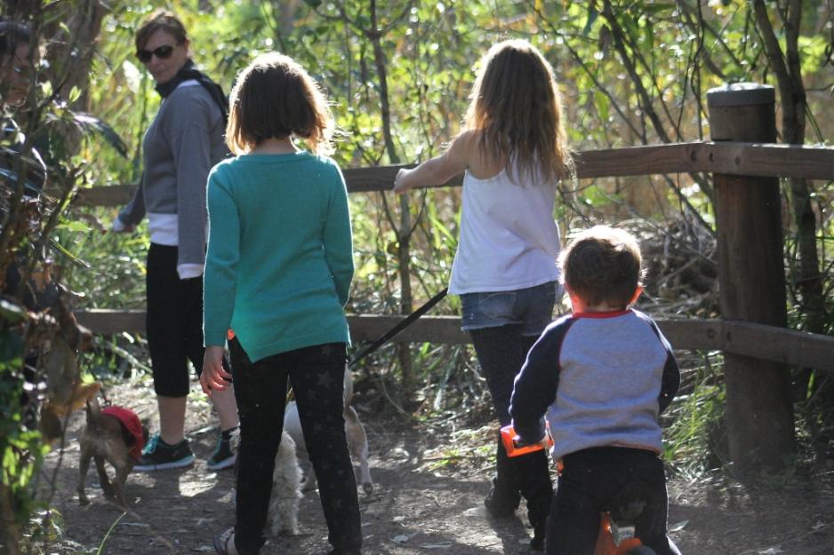
Another family-friendly green space!
Pictures by A J Guesdon, 2014