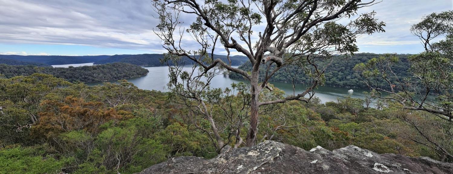
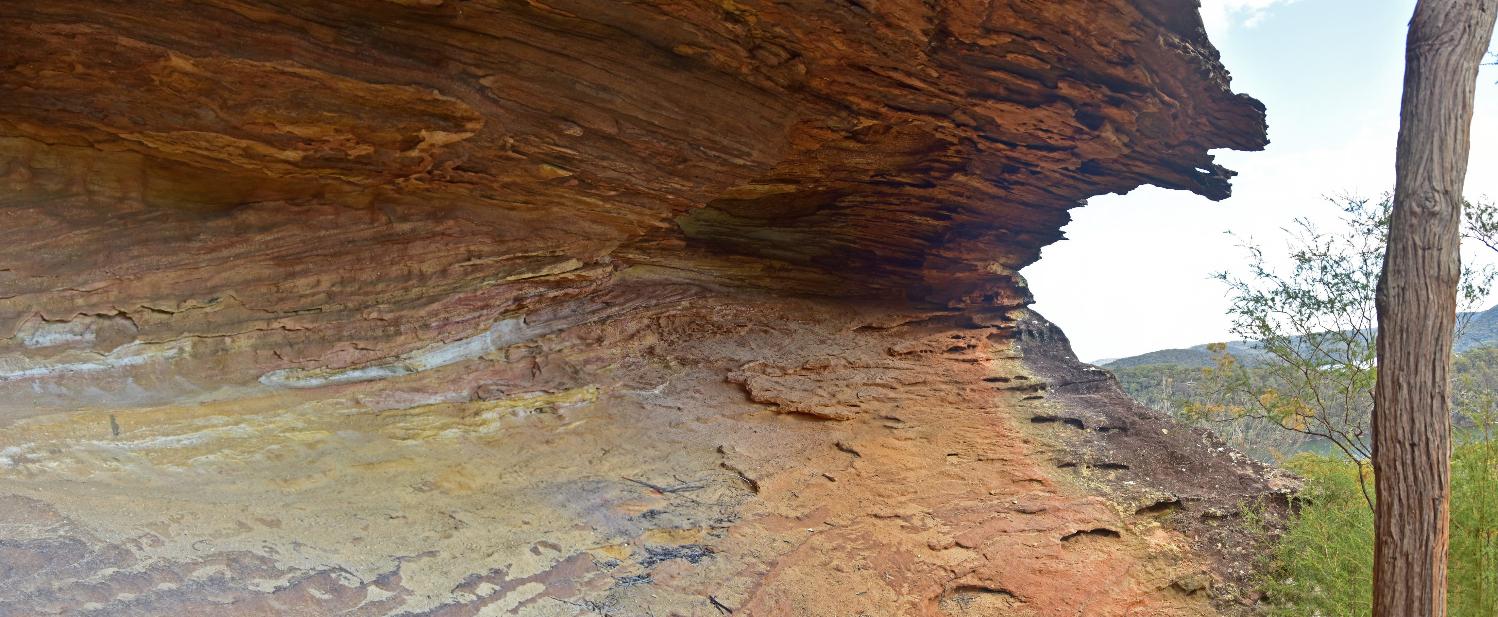
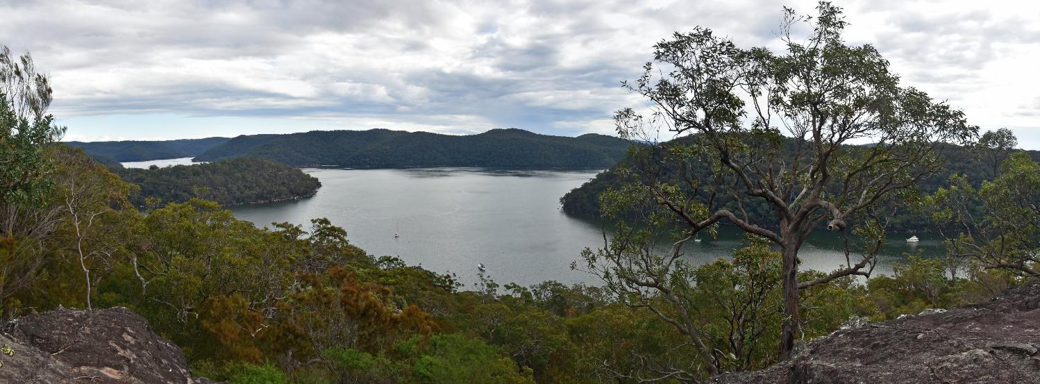
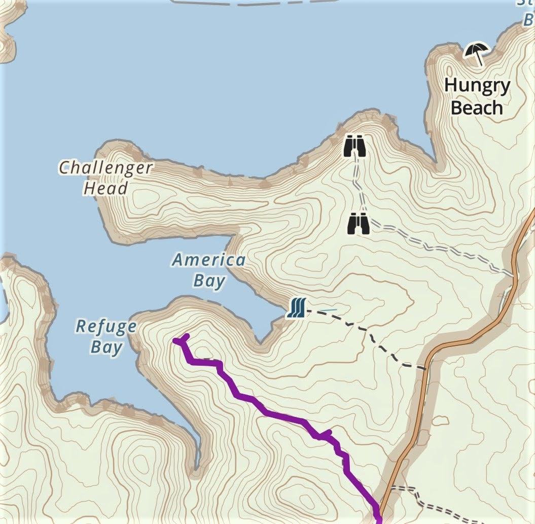
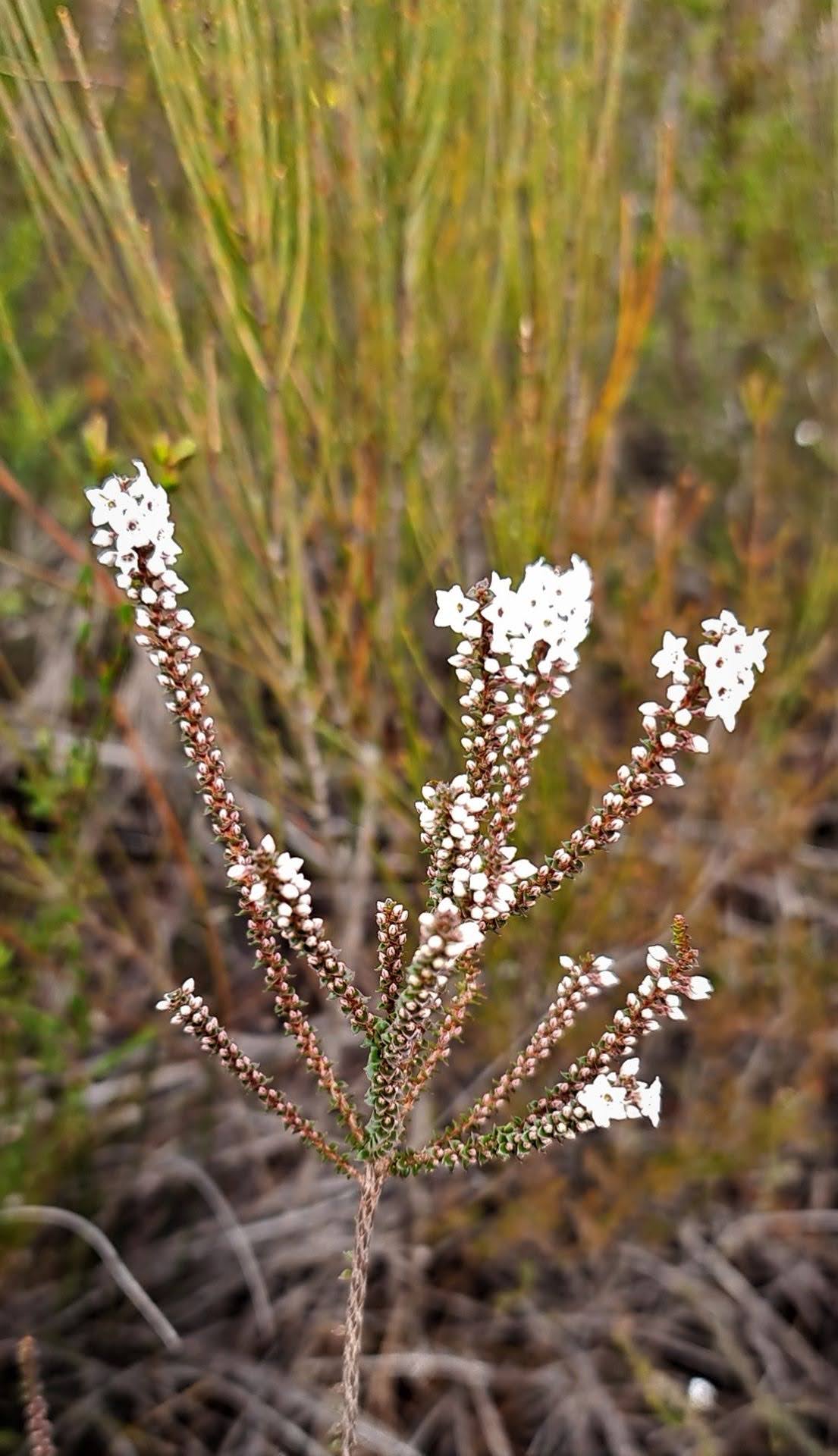
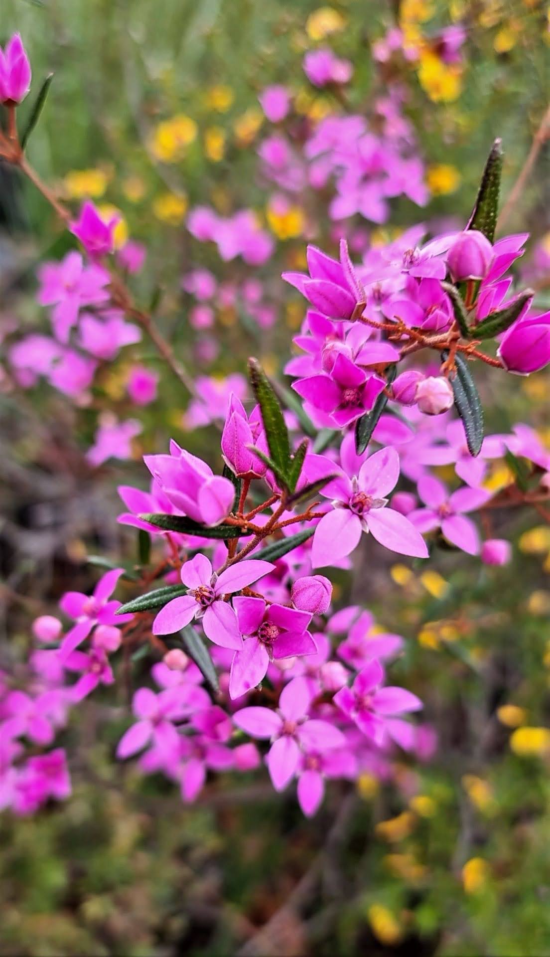
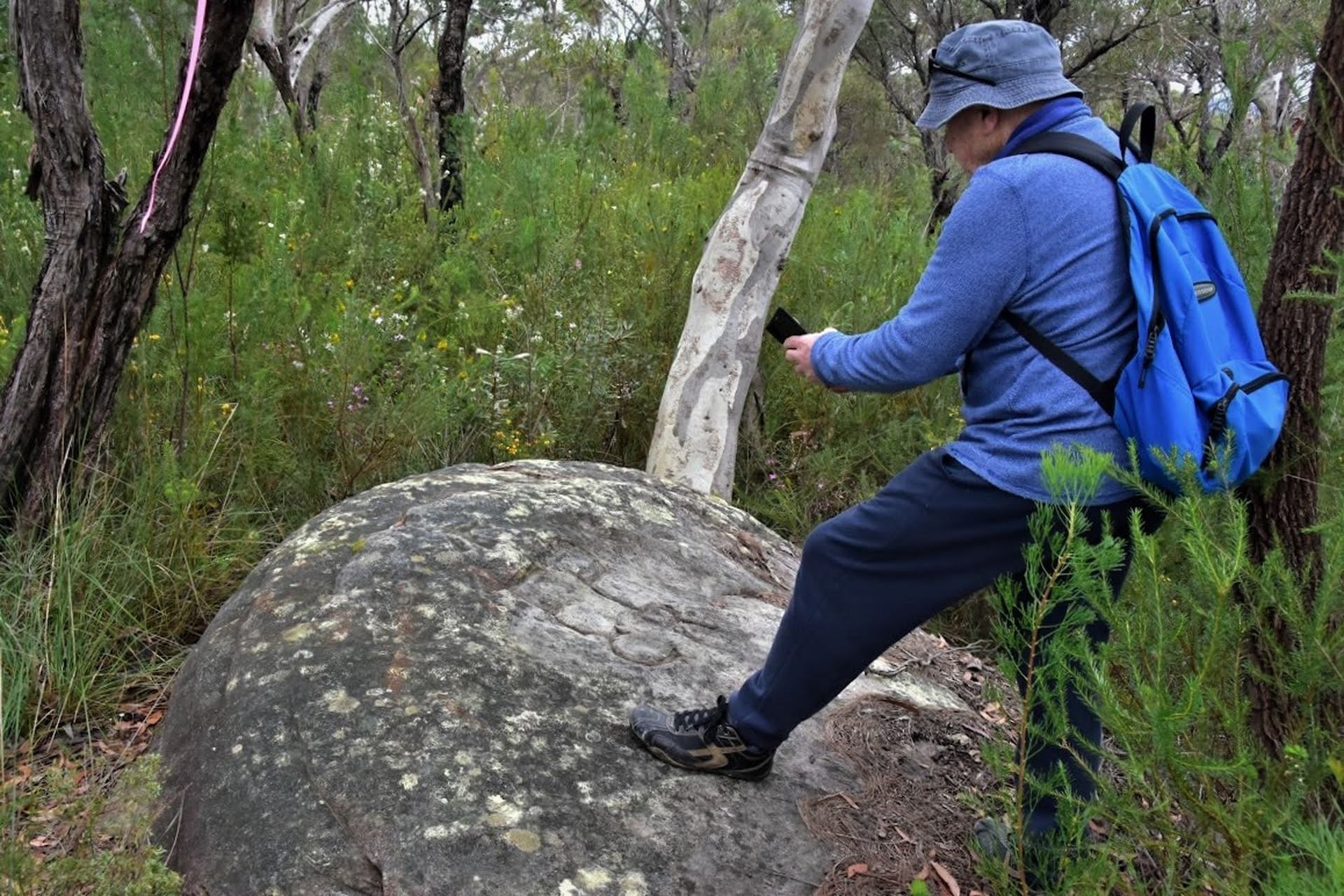
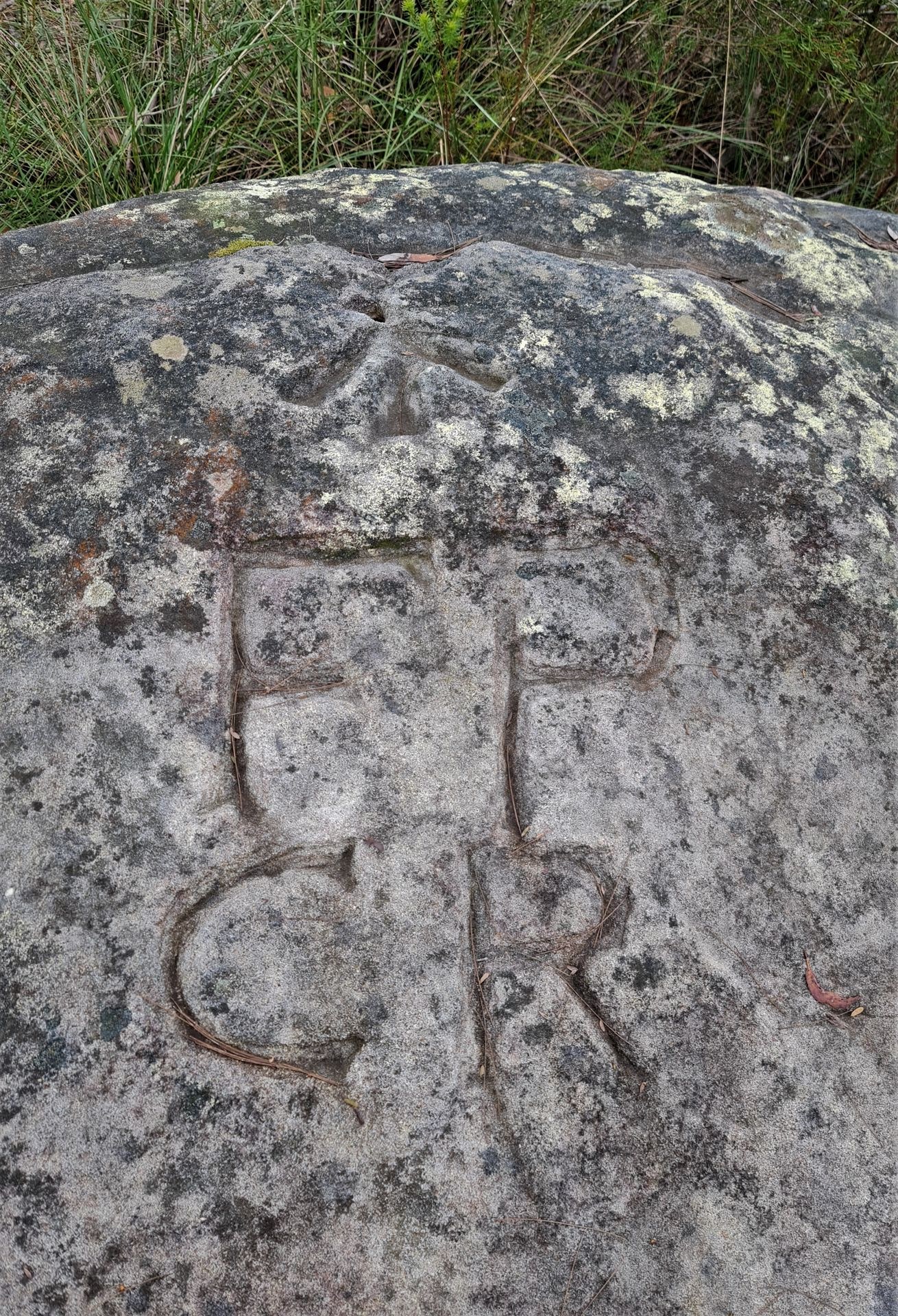
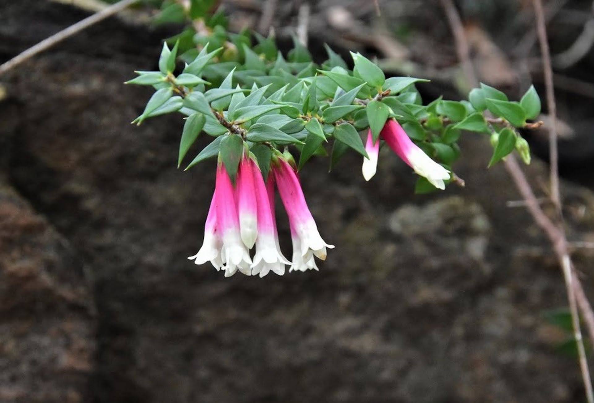
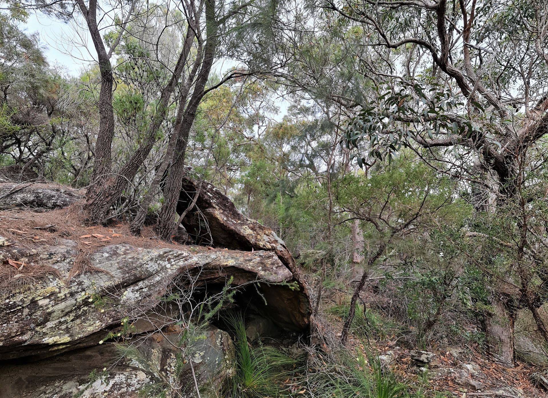
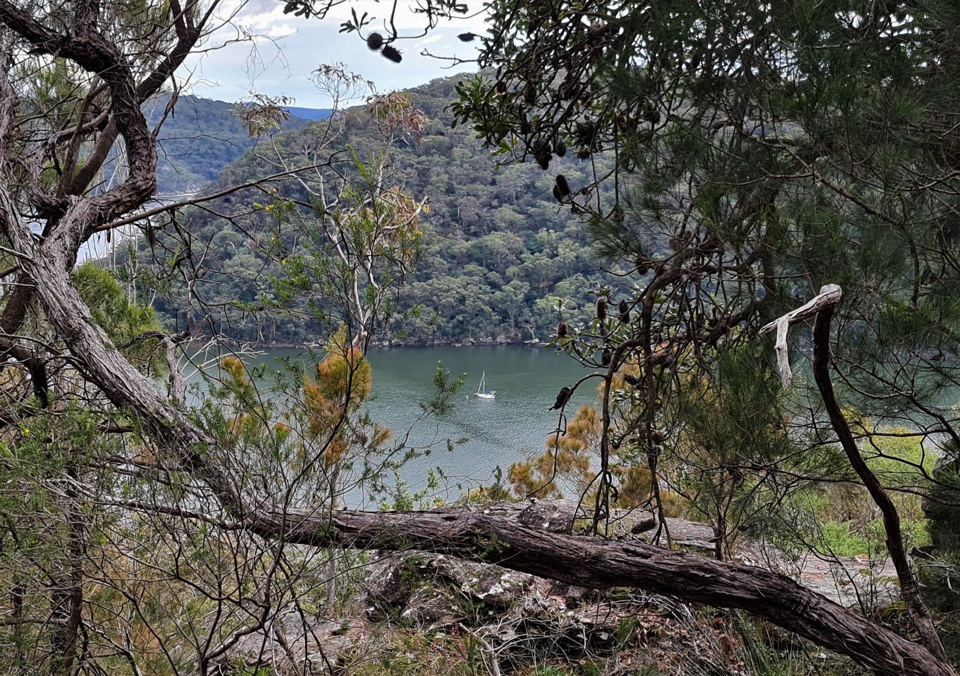
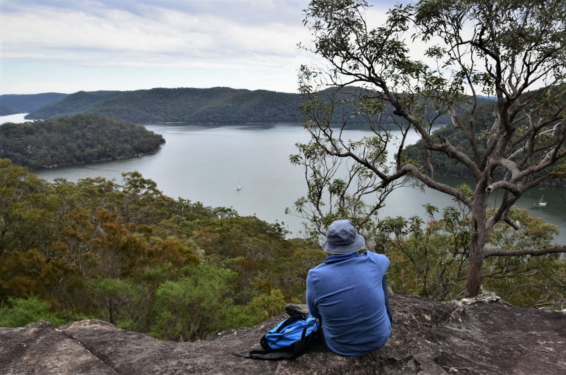
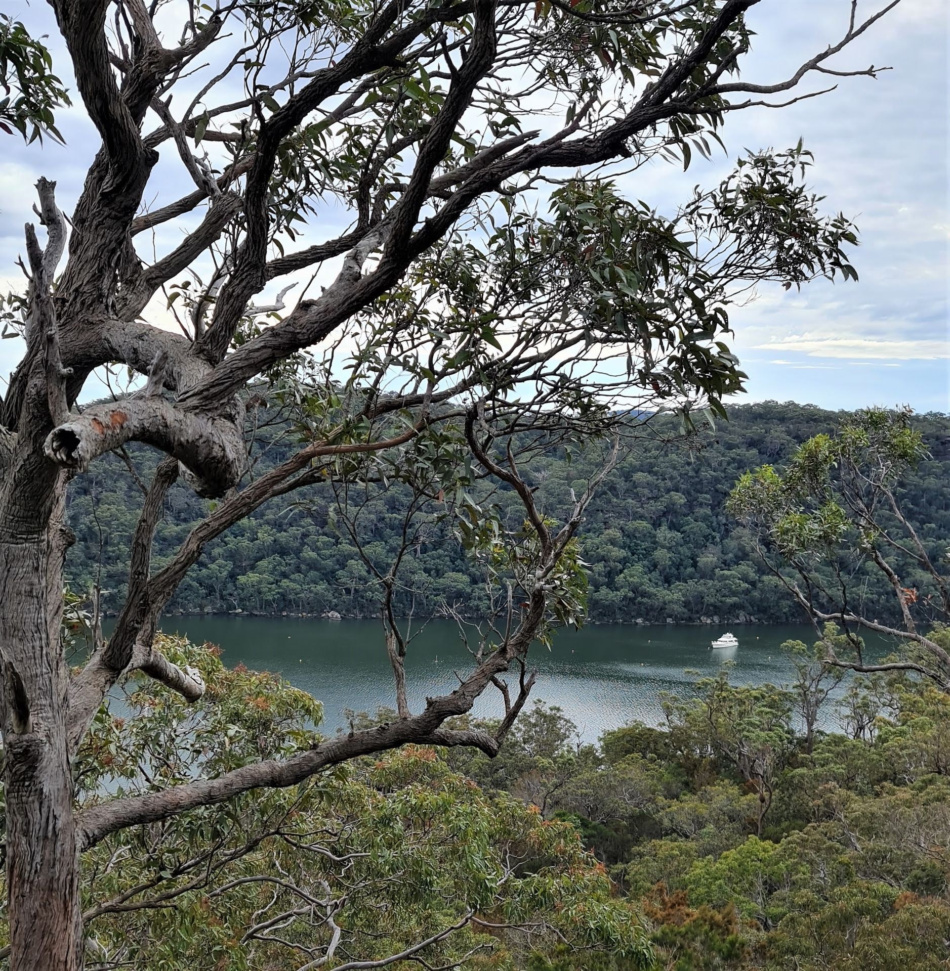
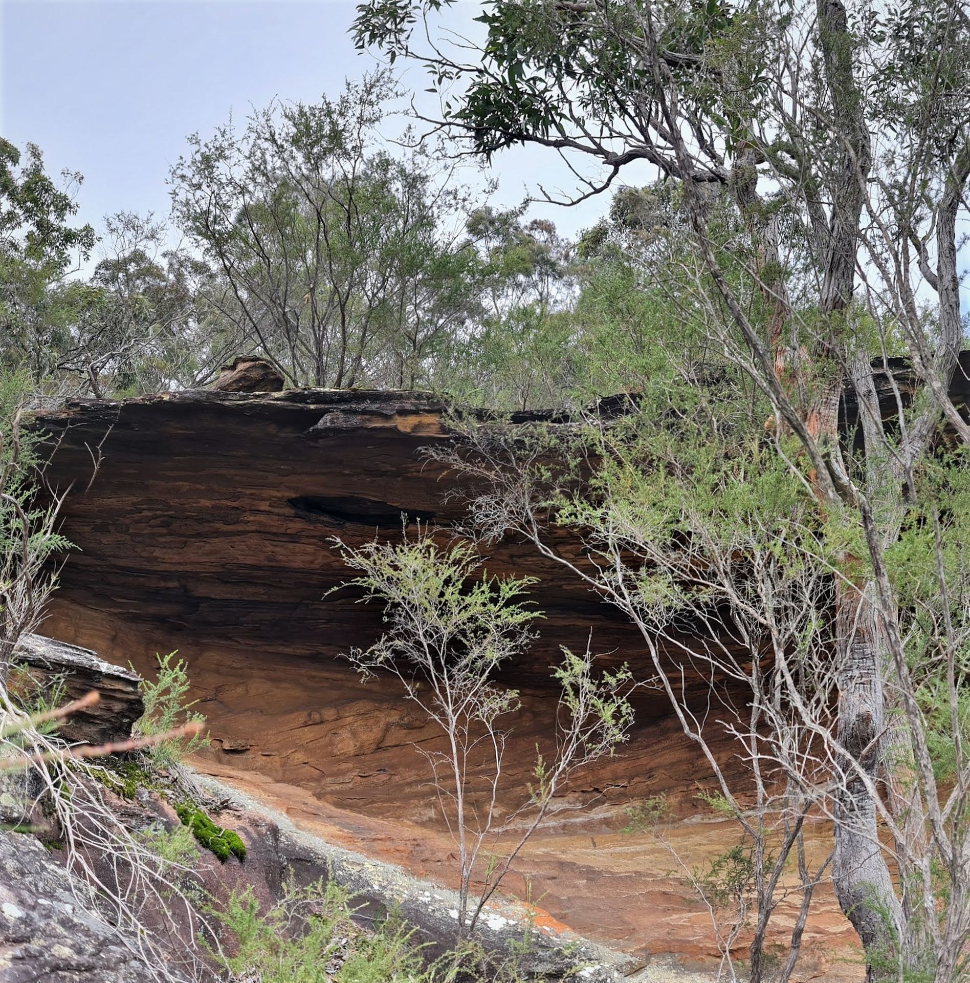
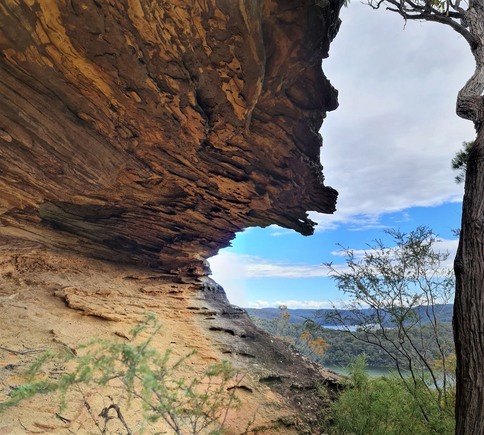
The track was starting to blossom with early Spring flowers, and the lookout shows views to America Bay and Refuge Bay which are just spectacular. There is a Trig station here 'Topham Trig' that once was in a cairn version. The Trigonometrical Survey of New South Wales, as it was then known, commenced in 1867.
These West Head Trig. Stations were originally marked as stone cairns and constructed in 1882 by Thomas Charles Swannell, a Crown Lands Ranger in the Department of Lands. The nearby Waratah Trig. Station is a still in place example of these, with most sources stating Mr. Swannell would have chosen the name for those within the park. There's more on these in Bairne Walking Track; Ku-Ring-Gai Chase National Park page that ran in 2020.
This is a 3.7 kilometres, return, walk that will take a few hours. To get there, follow West Head Road off McCarrs Creek Road and look for the track head sign on your left.
Readers of previous History pages will recall that 'Topham' is first associated with Frederick James Jackson's name for his cottage at The Basin, later named 'Beechwood' or 'Beachwood'.
In December 1854 the Olivers, who had been farming the land at The Basin, sold their holding to William Small for £300. In 1855 Mr. Small mortgaged The Basin land for £600 to the Oriental Bank Corporation.
Jim Macken, in his 'Sally Morris of The Basin' (2001) states that three Bills of Exchange were drawn by financier M. A. Worms but in June 1877 Mr. Small died intestate and the bank moved in to make a claim:
In the Supreme Court of New South Wales. ECCLESIASTICAL JURISDICTION.
In the goods of William Small, late of Brisbane Water, in the Colony of New South Wales, former, deceased.
NOTICE is hereby given, that after the expiration of fourteen days from the publication hereof in the New South Wales Government Gazette, application will be made to the Supreme Court of New South Wales, in its Ecclesiastical Jurisdiction, that letters of administration of the goods, chattels, credits, and effects of the above named William Small, deceased, may be granted to John Skinner, as Manager of the Oriental Bank Corporation, a creditor of the said deceased.—Dated this first day of April, in the year of our Lord one thousand eight hundred and seventy-eight.
WANT, JOHNSON, & WANT, Proctors for the said John Skinner. 2295 6s. 6d. ECCLESIASTICAL JURISDICTION. (1878, April 2). New South Wales Government Gazette (Sydney, NSW : 1832 - 1900), , p. 1370. Retrieved from http://nla.gov.au/nla.news-article223113095
PITT WATER, BROKEN BAY.
ORIGINAL GRANT of 50 ACRES, at the BASIN, being lot 24 sold, by proclamation of 17th June, 1834, to ROBERT MACINTOSH.
It is described as commencing at a marked tree in a small bay at Pitt Water, and bounded on the west by a line north 22 chains, on the north by a line east 25 chains to Pitt Water, and on the south-east and all other sides by that water to the marked tree
RICHARDSON and WRENCH have received instructions to sell by public auction, at the Rooms, Pitt-street, on FRIDAY, 31st May, at 11 o'clock.
The above-described romantically-situated 50 acres of good land at Pitt-water. This is a well-known property, being the camping grounds of the yachtsmen in a bay under the SOUTH-WEST shore of PITT WATER, about two miles from Barrenjoey. Plan at the Rooms. Terms at sale.
Messrs. WANT, JOHNSON, and WANT, Gresham street, Solicitors of the vendor. Advertising (1878, May 18). The Sydney Morning Herald (NSW : 1842 - 1954), p. 14. Retrieved from http://nla.gov.au/nla.news-article13422340
John Skinner, on behalf of the bank, sold Mr. Small's 50 acres of land to Frederick James Jackson, RSYS and RPAYC yachtsman and insurance broker, for £50 in 1881. A holiday house the Jackson's named 'Topham' and then 'Beechwood' was built at The Basin in 1881 and finished by 1882. This was used by the family and F J Jackson's sailing friends and fellow members of the Royal Sydney Yacht Squadron and the Royal Prince Alfred Yacht Club. Mr. Jackson was a founding member of both these clubs.
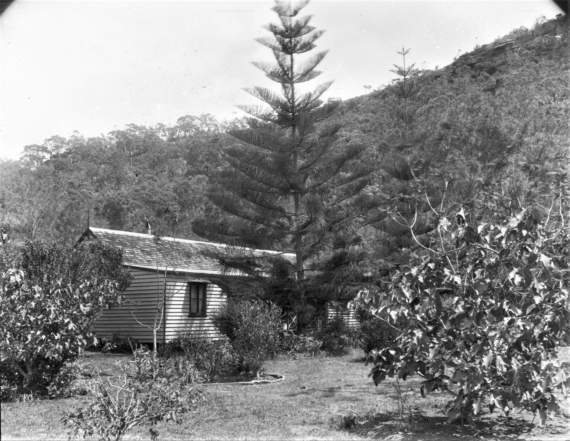
Topham. F.W. Jackson's Cottage at The Basin [From NSW Government Printer series: Kuring-gai Chase No 52] - 01-01-1900 to 31-01-1900, courtesy State Records and Archives, Item FL3592565
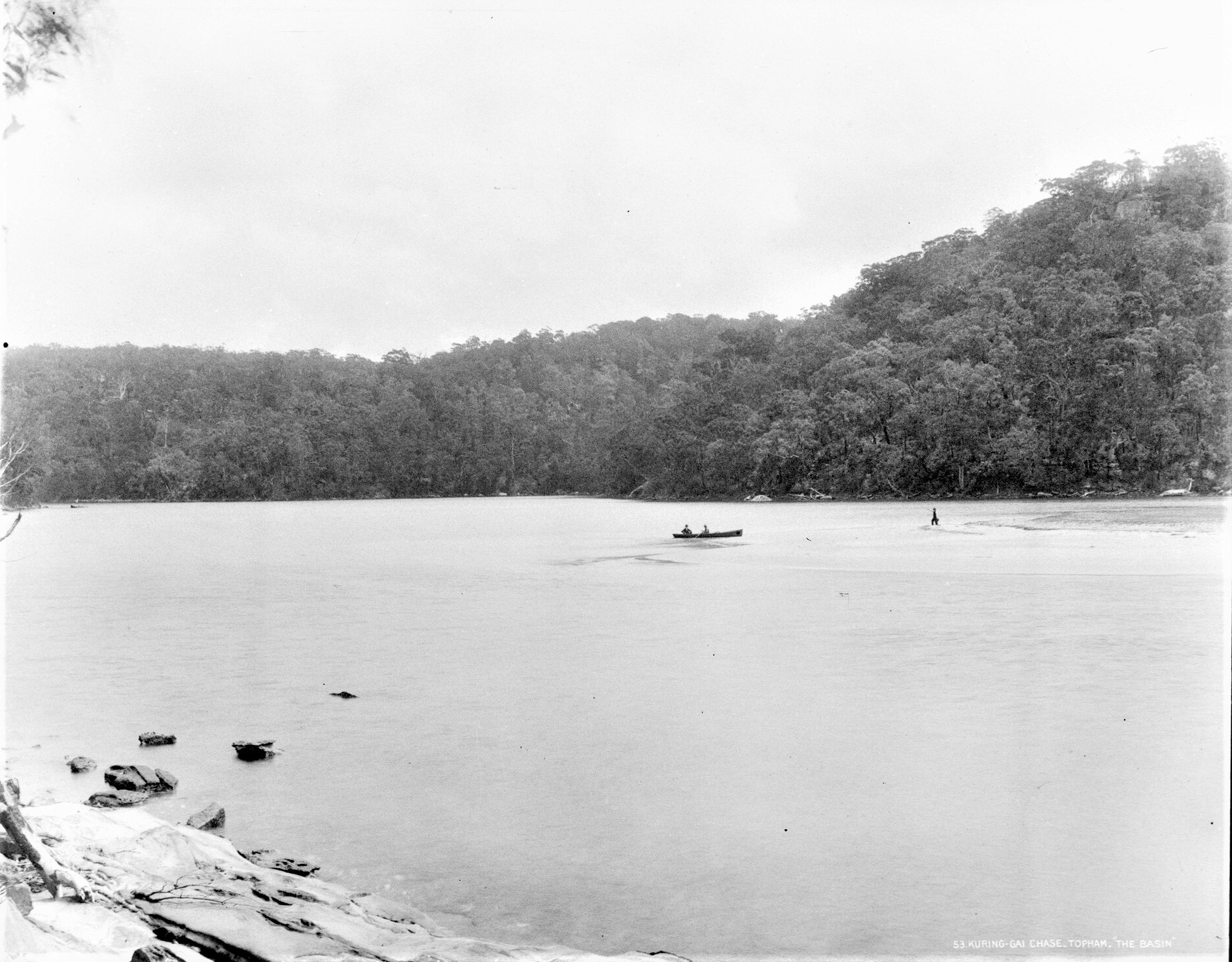
Topham. The Basin [From NSW Government Printer series: Kuring-gai Chase No 52] - 01-01-1900 to 31-01-1900, courtesy State Records and Archives, ItemFL3592677
The word 'Topham' stems from European words and has and is used as a surname. Topham as a name and place-name name meaning:
English (especially Yorkshire):: Nickname From Middle English Toppan Of Uncertain Meaning. The second element is perhaps Middle English Pan(Ne) ‘(Crown Of The) Head’ while Top- could be derived from several different words. If from Middle English Toppen ‘To Shave (The Head)’ then Toppan may have been a name for a barber who provided tonsures for the Clergy. Alternatively Top- Might Represent Middle English Tup Top(Pe) ‘Ram Male Sheep’ hence ‘Ram-Head’ or Middle English Top(Pe) Anglo-Norman French Tupe ‘Hair On The Head Tuft Of Hair Forelock’ Denoting Someone With A Distinctive Head Of Hair. Variant Of Topping. In Lincolnshire A Variant Of Tupholme A Habitational Name From A Place So Named In Lincolnshire.
The Place-name Derives From The Old Norse personal name Tupi of obscure origin, Middle English Tup ‘Ram’ + Old Norse Holmr ‘Small Island Water Meadow’. The Place-name may derive from Old English Topp ‘Top Hill Top’ + Hām ‘Village Homestead’. Source: Dictionary of American Family Names ©2013, Oxford University Press
Mr. Swannell (1835-1897) was baptised in Harpur Street Methodist Chapel, Bedford, Bedfordshire, England on February 22nd, 1837.
In 1910 Mr. Jackson brought his land under Torrens Title:
Frederick James Jackson 43 acres 1 rood 1 3/4 perches at Basin & Coasters Retreat in Pitt Water in Shire Warringah Parish Broken Bay County Cumberland Volume 2256 Folio 167
Date range:
09/03/1910 to 25/05/1912
Item Number Or Control Symbol:
PA 16450
Descriptive Note:
Primary Application - Frederick James Jackson 43 acres 1 rood 1 3/4 perches at Basin & Coasters Retreat in Pitt Water in Shire Warringah Parish Broken Bay County Cumberland Volume 2256 Folio 167
Access Direction:
Effect: Early; Duration:
NOTICE UNDER REAL PROPERTY ACT
APPLICATION having' been made to bring the lands hereunder described under the provisions of the Real Properly Act. Certificate of Indefeasible Title will issue, unless Caveat be lodged in accordance with the said Schedule to the said Act, on or before August 3. 1910;—
No. 16,450. APPLICANT:— Frederick James Jackson, Darling Point, Sydney. LAND:— County Cumberland, parish Broken Bay, shire Warringah, 43 acres 1 rood 1 3/4 perches at the Basin and Coasters Retreat in Pitt Water, part 50 acres (portion 14 of parish), granted to Robert Mcintosh; adjoining property of Trustees of Kunng-gai Chase.
Diagram delineating this land may be inspected at the Land Titles Office, Elizabeth-street, Sydney.
W. G. H. Williams.
Registrar-General.
June 15, 1910. Advertising (1910, June 18). The Daily Telegraph (Sydney, NSW : 1883 - 1930), p. 23. Retrieved from http://nla.gov.au/nla.news-article239418207
The application did not sit well with Sally Morris and Victor Le Gay Brereton, a solicitor and regular visitor to The Basin, acted on her behalf by applying for a restraining order. Jim Macken's 'Sally Morris of The Basin' states (page 18):
In answer to Sally's application for the restraining order Jackson swore an affidavit dated 25/7/1910 stating:
Purchased property April 1881. Conveyance dated 14/4/1881 - arranged with Mary Ann Morris to be caretaker for one pound per month and permitted her to run her cattle on the land. In the year 1882 I erected upon the property a seven room weatherboard dwelling house and out buildings. I or some of my family have resided in the said house once a month ever since. In addition to my paying her one pound per month she has rendered services to my family in the said house for which she was paid in addition.
From the year 1886 I employed a Chinese gardener upon the property who lived in a cottage on the land and who worked continuously upon the orchard and garden upon the property during the whole of these years. [3.]
In the ANMM collection's album 'Photographs of boating on Pittwater including steam yacht ENA' circa 1890, one of these images appears to show the terraces of gardens that once went upwards on the hills above the Basin, as mentioned by Jim Macken in his Sally Morris of the Basin:
.jpg?timestamp=1567062868843)
The dispute was resolved by agreement in February 1912 with Mr. Jackson granting Sally a lifetime lease over the land she inhabited in exchange for which she allowed the land to be brought under the Real Property Act. A formal lease was issued, dated October 1914, of the land on which Sally's house stood, gave her the lifetime lease promised.
Mr. Jackson's The Basin holding was transferred to the Kuring-Gai Chase Trust in July 1916 - the Notice reflecting Mary Ann's established lease:
Department of Lands,
Sydney, 1st December, 1916,
Proposals under section 25, Crown Lands Consolidation Act, 1913, in respect of a Public Recreation Ground (addition) at The Basin, Pittwater.
WHERE AS I am of opinion that it is expedient in the public interest to resume an area of 42 acres 2 roods 7 perches of land at The Basin, Pittwater, dedicated 28th July, 1915, for Public Recreation (addition), and described in the Schedule hereto: Now, therefore, notice is hereby given, in accordance with the provisions of the 25th section of the Crown Lands Consolidation Act, 1913, that it is proposed to deal with the said land in the manner following, that is to Bay,—to revoke the dedication of the said area of land heretofore made, and to re-dedicate the said area for Public Recreation as an addition to Ku-ring-gai Chase. [Ms. 1916-12,505]
W. G. ASHFORD, Minister for Lands.
Schedule referred to.
Description of an area of 42 acres 2 roods 7 perches at The Basin, Pittwater, dedicated 28th July, 1915, for Public Recreation (addition), the dedication of which is intended to be revoked, and which is intended to be rededicated for Public Recreation as an addition to Ku-ring-gai Chase.
All that piece or parcel of land containing 42 acres 2 roods 7 perches or thereabouts, situated at The Basin, Pittwater, Warringah Shire, parish of Broken Bay, county of Cumberland, being the land comprised in Certificate of Title, registered volume 2,256, folio 167, as shown upon plan catalogued Ms. 3,316 Sy. Exclusive of two areas (I rood 10 1/2 perches and 1 rood 19 1/2 perches), and a right-of-way 12 feet wide connecting same, which- form the subject of Real Property Act lease No. 661,6*20 to Mrs. M. A. Morris for the term of her life. Government Gazette Notices (1916, December 1). Government Gazette of the State of New South Wales (Sydney, NSW : 1901 - 2001), p. 7108. Retrieved from http://nla.gov.au/nla.news-article225964801
The National Park itself was established in December, 1894, making it Australia's second National Park:
Department of Lands,
Sydney. 14th December, 1894.
REGULATIONS FOR THE MANAGEMENT OF THE RECREATION GROUND AT HAWKESBURY RIVER (COWAN CREEK AND PITTWATER), KNOWN AS " KU-RING-GAI CHASE."
HIS Excellency the Governor, with the advice of the Executive Council, having approved of the following Regulations for the management of the land at Hawkesbury River, known as " Ku-ring-gai Chase," area 35,300 acres, dedicated 14th December, 1894, for public recreation, Buch Regulations are published'for public information, in accordance with the 106th section of the Crown Lands Act of 1884.
[Ms. 94-8,858 Dep.] J. H. CARRUTHERS.
Proceedings of Trustees.
1. Regular meetings shall be held on the first Tuesday of each month, at 2 p.m.
2. All meetings shall be called by circular, posted three days before the day of meeting.
3. A quorum for the transaction of business shall consist of three members.
4. The Trustees shall annually elect a President, but in his absence from any meeting any other Trustee present may preside at that meeting.
5. The annual meeting shall be held in the month of March in each year, at which meeting the President and various Committees shall be elected.
6. The Trustees may at any regular meeting appoint any of their number a Committee to carry out such works, or perform such duties as may be authorised at such meeting.
7. Any vacancy of President or Committee shall be filled up at the next regular meeting after the occurrence of such vacancy.
8. No resolution passed at any meeting Bhall be rescinded unless upon notice given and entered upon the notice paper.
9. All notices for the expenditure of money shall appear upon the circular calling the meeting.
10. The Honorary Secretary shall keep a proper record of the proceedings of each meeting.
General.
11. No person shall, without the permission of the Trustees, cut, remove, or deface any tree?, shrubs, plants, rocks, seats, gates, posts or fences, or write thereon, or affix any writing or marks thereto. The defacing or removal of any aboriginal drawings or chippings on rocks is especially prohibited under this Regulation, as also the digging up or removal of any banks of shells and refuse, presumedly Aboriginal Kitchen-middens, in search of skulls, bones, or other aboriginal remains.
12. No person shall carry firearms within the chase, or bring sporting dogs into the same, or interfere with, or capture, or destroy any birds or animals therein.
13. No net fishing is allowed in the waters of Cowan Creek, or on the foreshores of the chase without the permission of the Trustees in writing.
14. Any person offending against any of the Regulations shall be liable to a fine not exceeding £20 (twenty pounds), and may be removed from the chase.
15. The Trustees of Ku-ring-gai Chase for the time being, or any authorised employe of the Trustees, or any member of the Police Force, shall be the person or persons authorised to enforce the foregoing Regulations.
HENRY COPELAND, J. P. ABBOTT,
JAMES C. COX, M.D., T. A. DIBBS,
E. DU FAUE, F.R.G.S., J.P.,
J. De V. LAMB,
WILLIAM JOHN LYNE,
E. A. WEIGHT,
B. H. D. WHITE, - Trustees.
REGULATIONS FOR THE MANAGEMENT OF THE RECREATION GROUND AT HAWKESBURY RIVER (COWAN CREEK AND PITTWATER), KNOWN AS "KU-RING-GAI CHASE." (1894, December 14). New South Wales Government Gazette (Sydney, NSW : 1832 - 1900), p. 7881. Retrieved from http://nla.gov.au/nla.news-article222193751
Interestingly, these Trig. Stations, first laid down in 1882, featured when describing the ward areas of Pittwater Council in 1992, a mere 110 years later:
LOCAL GOVERNMENT ACT 1910 - PROCLAMATION
(L.S.) P. R. SINCLAIR Governor.
I, Rear Admiral PETER ROSS SINCLAIR, Governor of the State of New South Wales, with the advice of the Executive Council, and in pursuance of the Local Government Act 1919, do hereby -
(1) amend the proclamation published in Government Gazette No. 151 of 25 October, 1991, page 9045, as amended by proclamations published in Government Gazettes Nos. 36 of 13 March, 1992, and No. 51 of 24 April, 1992,
(a) by omitting from clause (3) of that proclamation the matter "hereto." and by inserting instead the matter "hereto; and"; and
(b) by inserting immediately after clause (3) of that proclamation the following clause:
"(4) divide, on and from 1 May, 1992, the Municipality of Pittwater into three wards so that the wards of the Municipality shall be as described in Schedule D hereto."; and
(c) by inserting immediately after Schedule C to that proclamation Schedule D as contained in the Schedule hereto; and
(2) determine that the number of aldermen to be elected by the electors of each of the respective wards of the Municipality of Pittwater shall be three.
Signed and sealed at Sydney, this ninth day of September, 1992.
By His Excellency's Command,
G. B. PEACOCKE,
Minister for Local Government.
GOD SAVE THE QUEEN!
Schedule.
SCHEDULE D
Division of Municipality of Pittwater into Wards.
SOUTHERN WARD
Commencing at the intersection of the south-eastern prolongation of Golf Avenue and the generally eastern boundary of the Municipality: and bounded thence by that prolongation and avenue north-westerly, Barren joey Road south-westerly, Pittwater Road generally north-westerly, Cabbage Tree Road generally south-westerly, Samuel Street generally southerly, Parkland Road generally easterly. Maxwell Street generally south-westerly, Emma Street westerly and Mona Vale Road generally south-westerly to the generally south-western boundary of the Municipality; by part of that boundary generally southerly, the generally southern boundary of the Municipality generally easterly and part of the generally eastern boundary of the Municipality, aforesaid, generally northerly to the point of commencement.
CENTRAL WARD
Commencing at the intersection of the south-eastern prolongation of Golf Avenue and the generally eastern boundary of the Municipality: and bounded thence by that prolongation and avenue north-westerly, Barren joey Road south-westerly, Pittwater Road generally north-westerly. Cabbage Tree Road generally south-westerly, Samuel Street generally southerly, Parkland Road generally easterly, Maxwell Street generally south-westerly, Emma Street westerly and Mona Vale Road generally south-westerly to the generally south-western boundary of the Municipality; by part of that boundary generally south-westerly and generally north-westerly and part of the generally north-western boundary of the Municipality generally north-easterly to the generally north-western prolongation of Topham Track; by that prolongation and track generally south-easterly, West Head Road northerly, Bairne Track generally easterly and Portuguese Track and its prolongation generally north-easterly to the western shore of Pittwater; by a line north-easterly to the eastern shore of Pittwater; by that shore generally southerly to an unnamed creek flowing into the northern inlet of Salt Pan Cove; by that creek upwards to Prince Alfred Parade; by that parade generally south-westerly, Herbert Avenue generally easterly, Wallumatta Road generally south-easterly and generally easterly, Cheryl Crescent generally northerly, Belinda Place generally north-easterly, the Pathway connecting Belinda Place to Grandview Drive generally northerly, Grandview Drive generally easterly, Seaview Avenue northerly, Neptune Road easterly and Barren joey Road generally north-easterly to a point east of the eastern corner of Portion 112, Parish of Narrabeen, County of Cumberland; by a line easterly to the generally eastern boundary of the Municipality, aforesaid, and by that boundary generally southerly to the point of commencement.
NORTHERN WARD
Commencing at the intersection of the generally north-western prolongation of Topham Track and the generally north-western boundary of the Municipality: and bounded thence by that prolongation and track generally south-easterly, West Head Road northerly, Bairne Track generally easterly and Portuguese Track and its prolongation generally north-easterly to the western shore of Pittwater; by a line north-easterly to the eastern shore of Pittwater; by that shore generally southerly to an unnamed creek flowing into the northern inlet of Salt Pan Cove; by that creek upwards to Prince Alfred Parade; by that parade generally south-westerly, Herbert Avenue generally easterly, Wallumatta Road generally south-easterly and generally easterly, Cheryl Crescent generally northerly, Belinda Place generally north-easterly, the Pathway connecting Belinda Place to Grandview Drive generally northerly, Grandview Drive generally easterly, Seaview Avenue northerly, Neptune Road easterly and Barrenjoey Road generally northeasterly to a point east of the eastern corner of Portion 112, Parish of Narrabeen County of Cumberland; by a line easterly to the generally eastern boundary of the Municipality; by part of that boundary generally northerly and the generally northern and part of the generally north-western, aforesaid, boundaries of the Municipality generally westerly and generally south-westerly to the point of commencement. LOCAL GOVERNMENT ACT 1910 - PROCLAMATION (1992, September 11). Government Gazette of the State of New South Wales (Sydney, NSW : 1901 - 2001), p. 6714. Retrieved from http://nla.gov.au/nla.news-article231913266

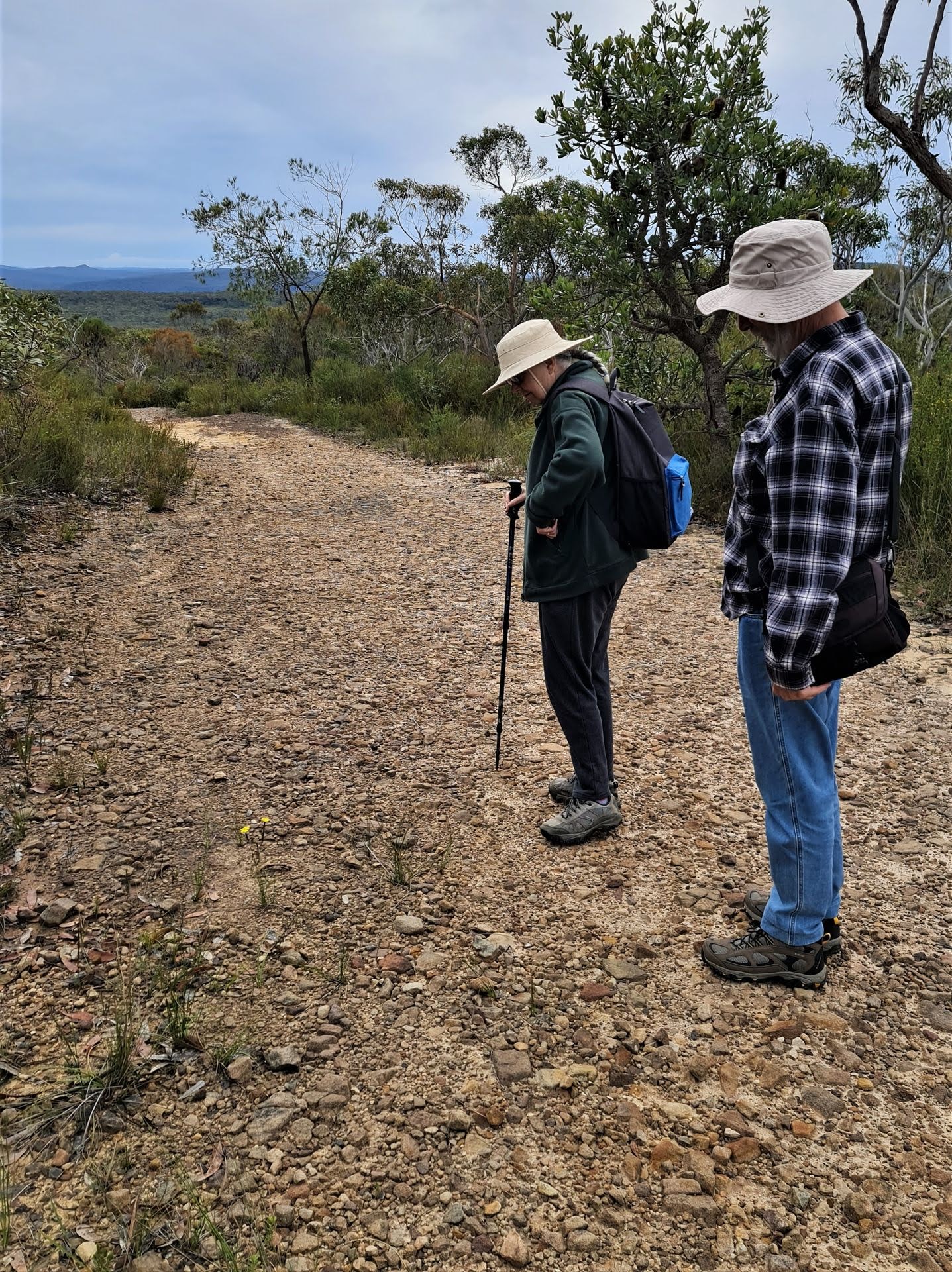
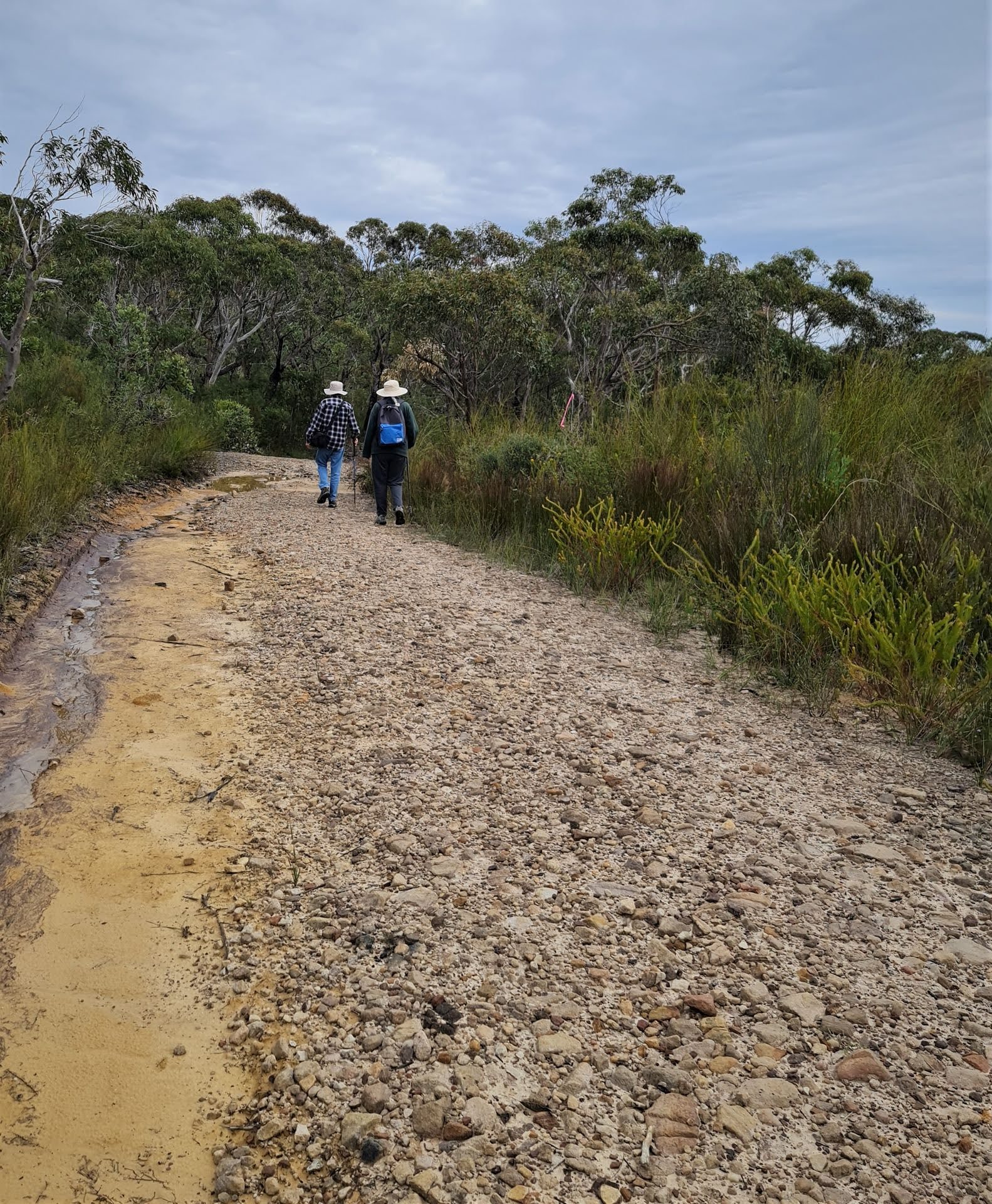
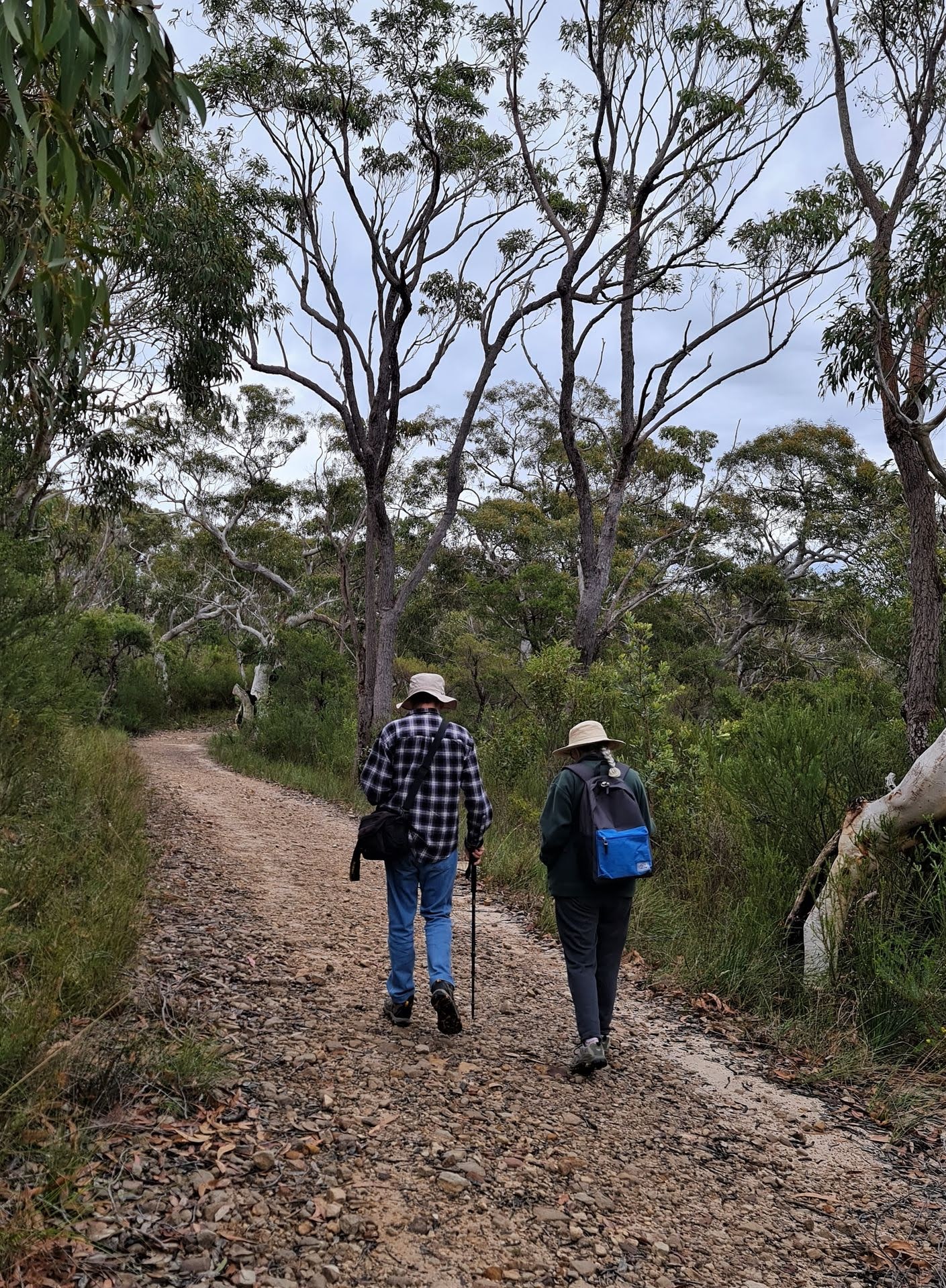
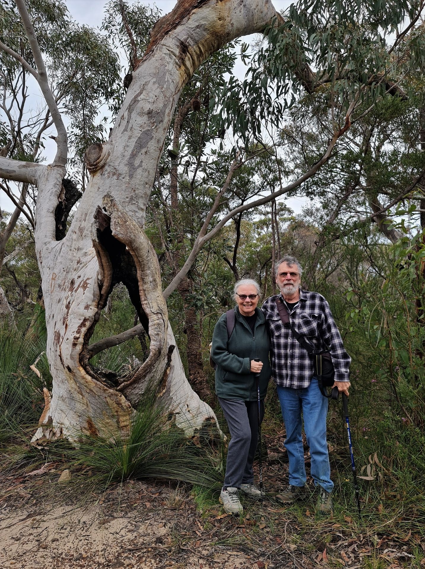
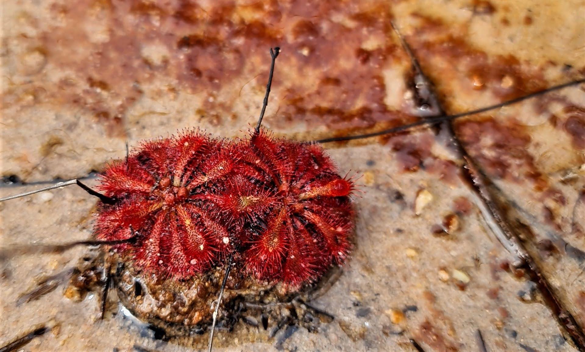
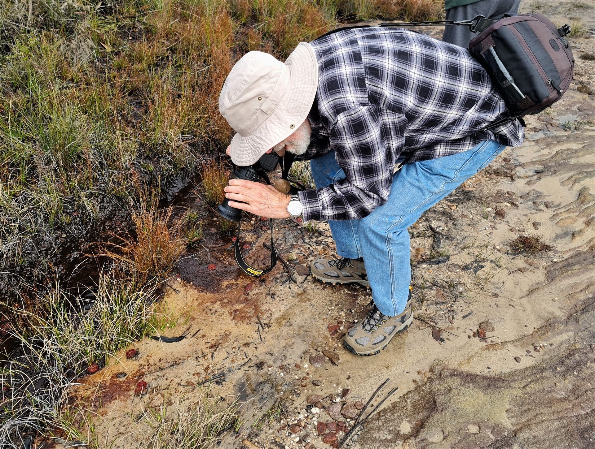
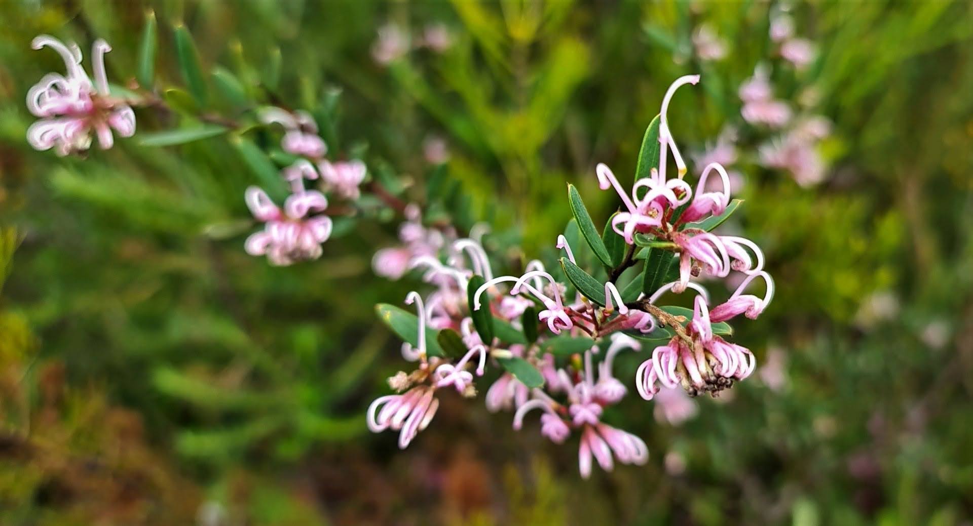
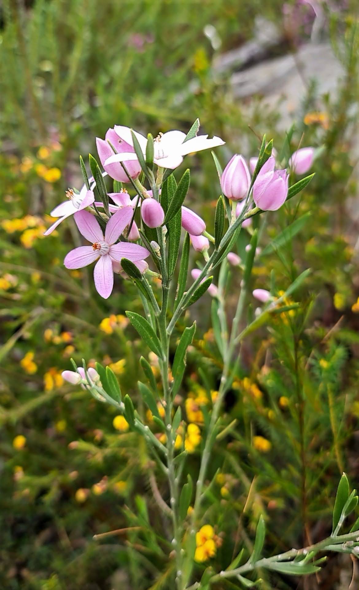
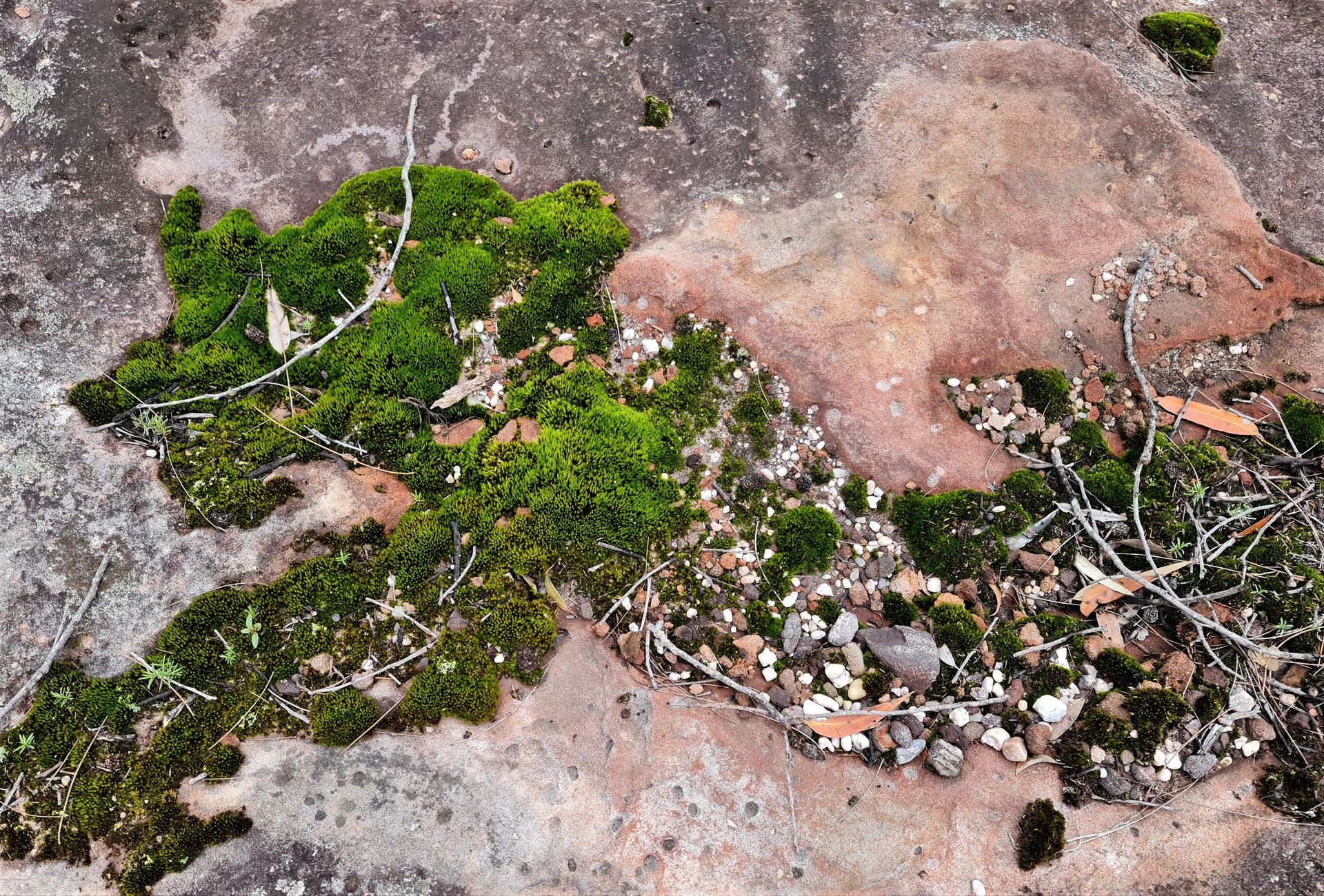
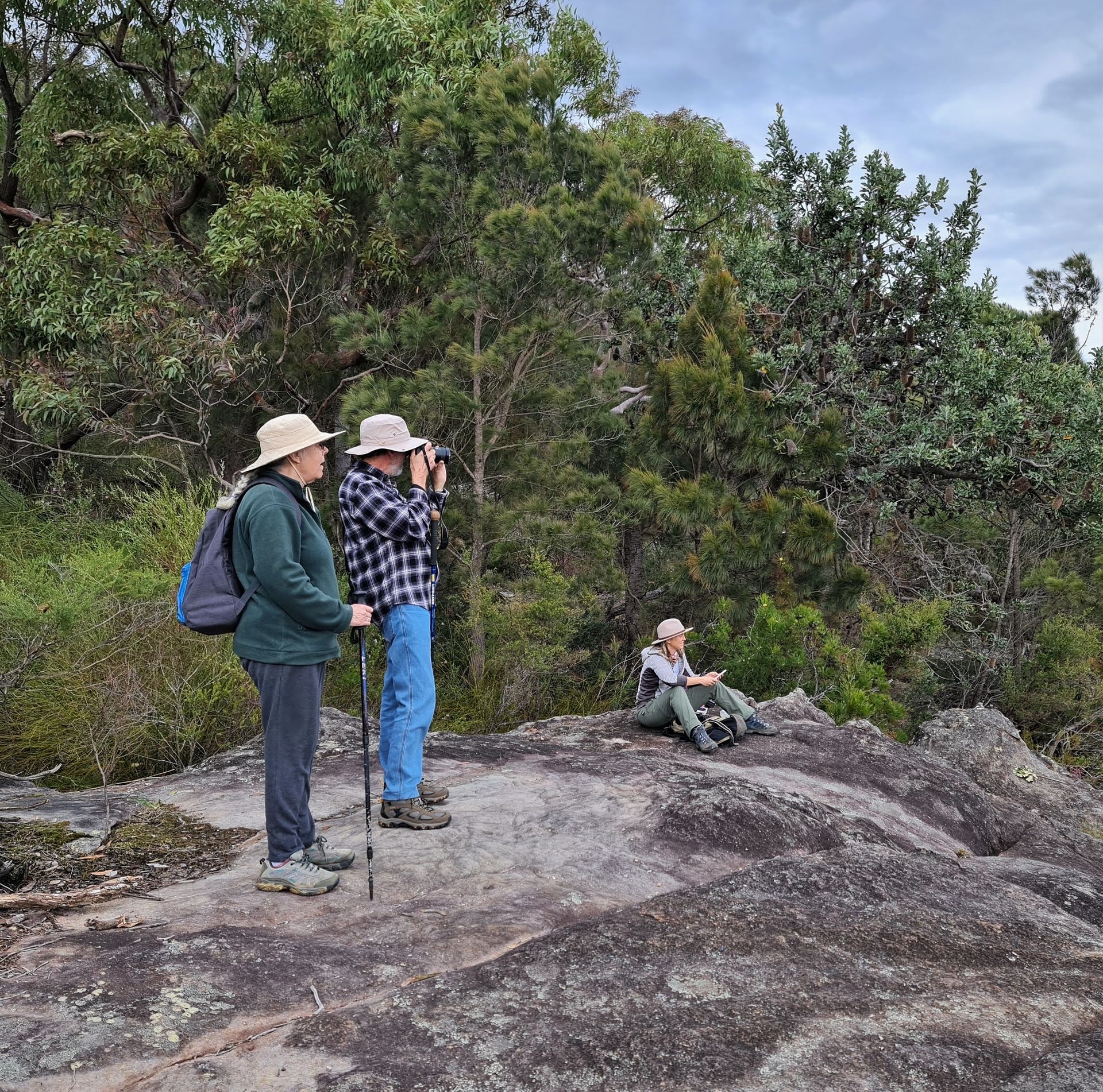
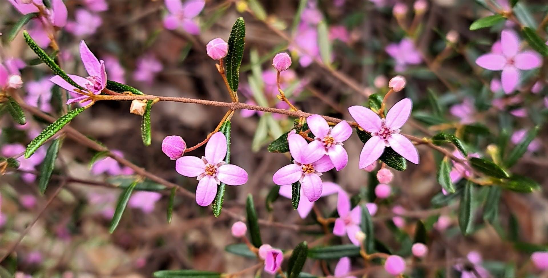
Glenys and Kevin
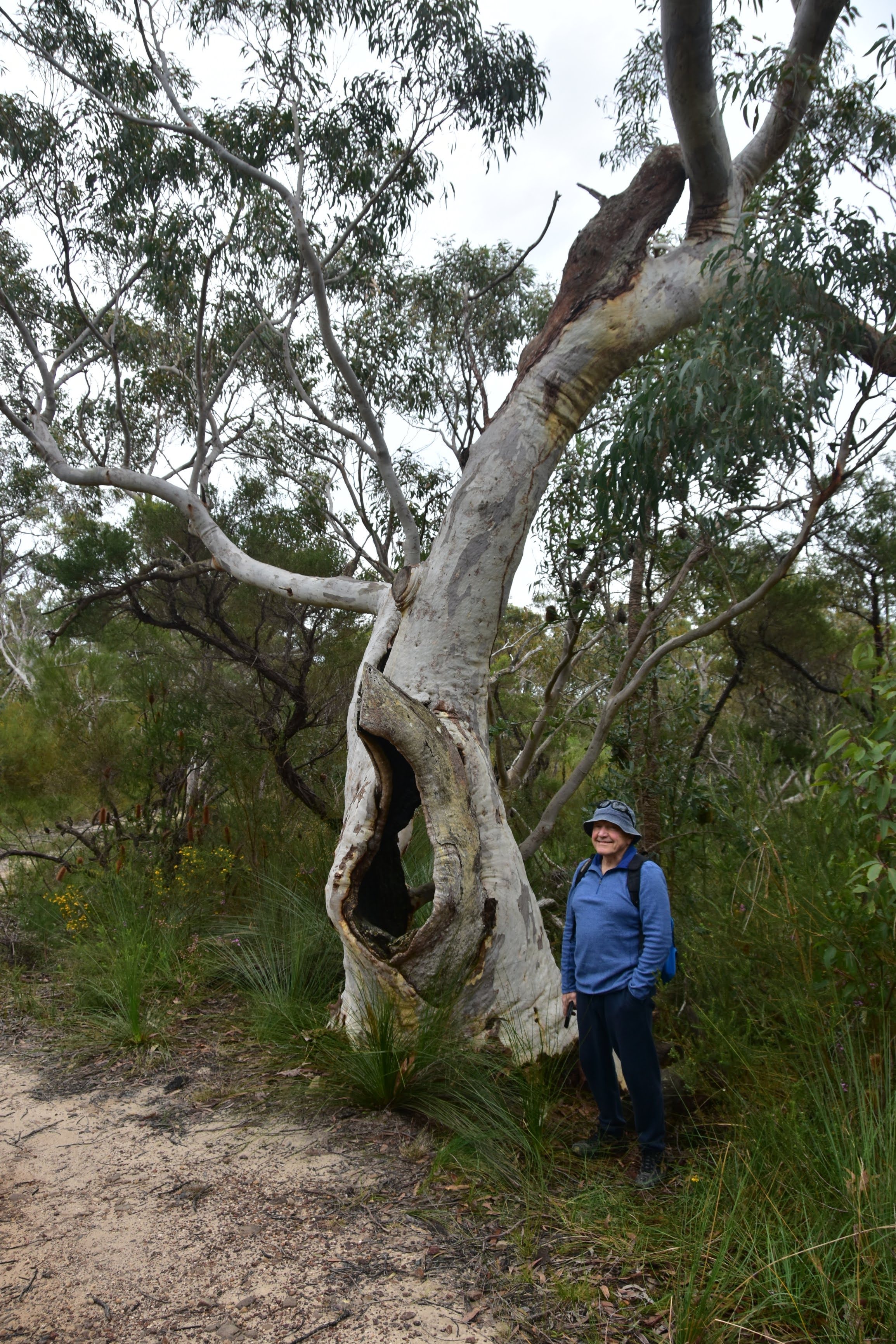
Joe
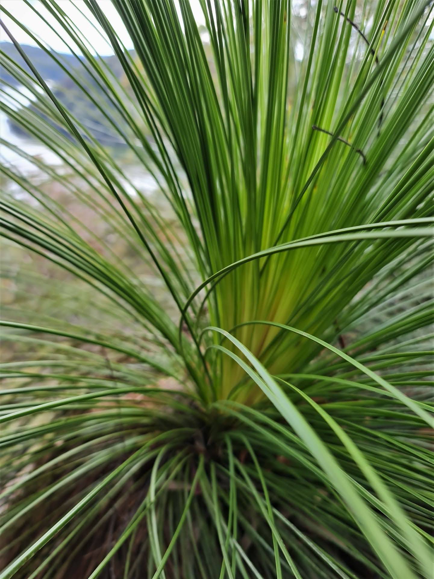
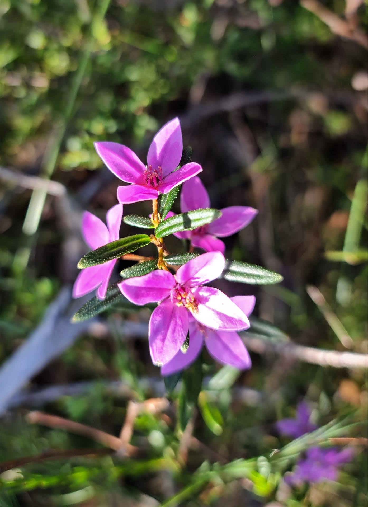
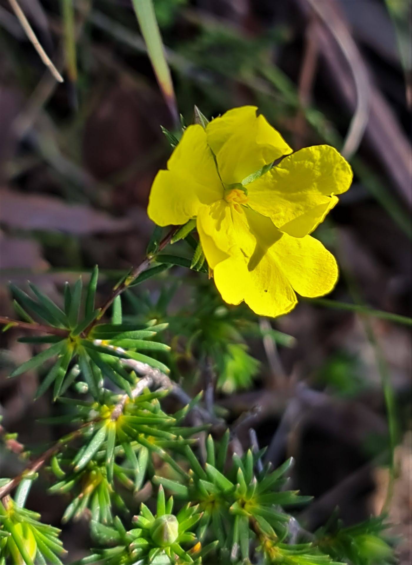
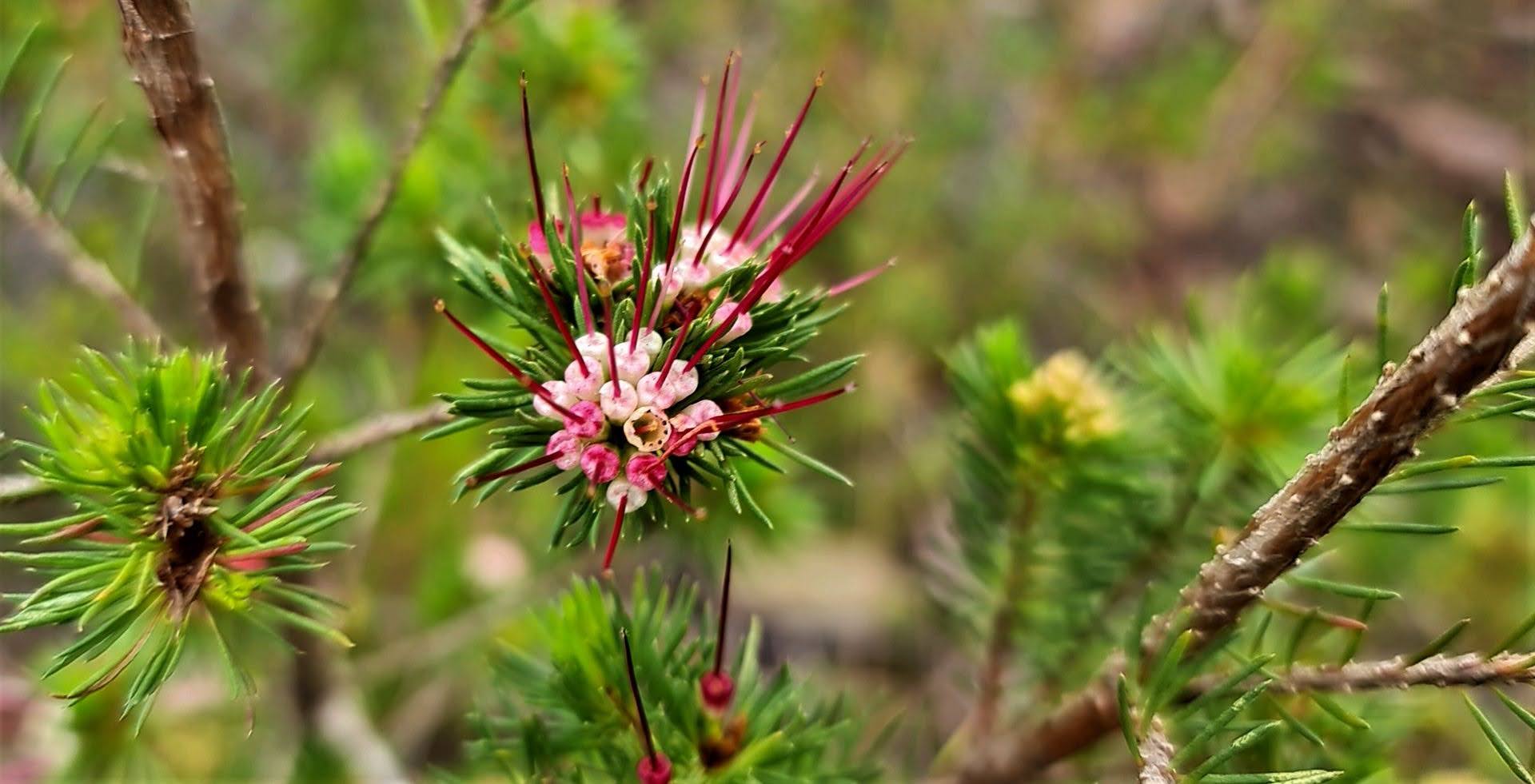
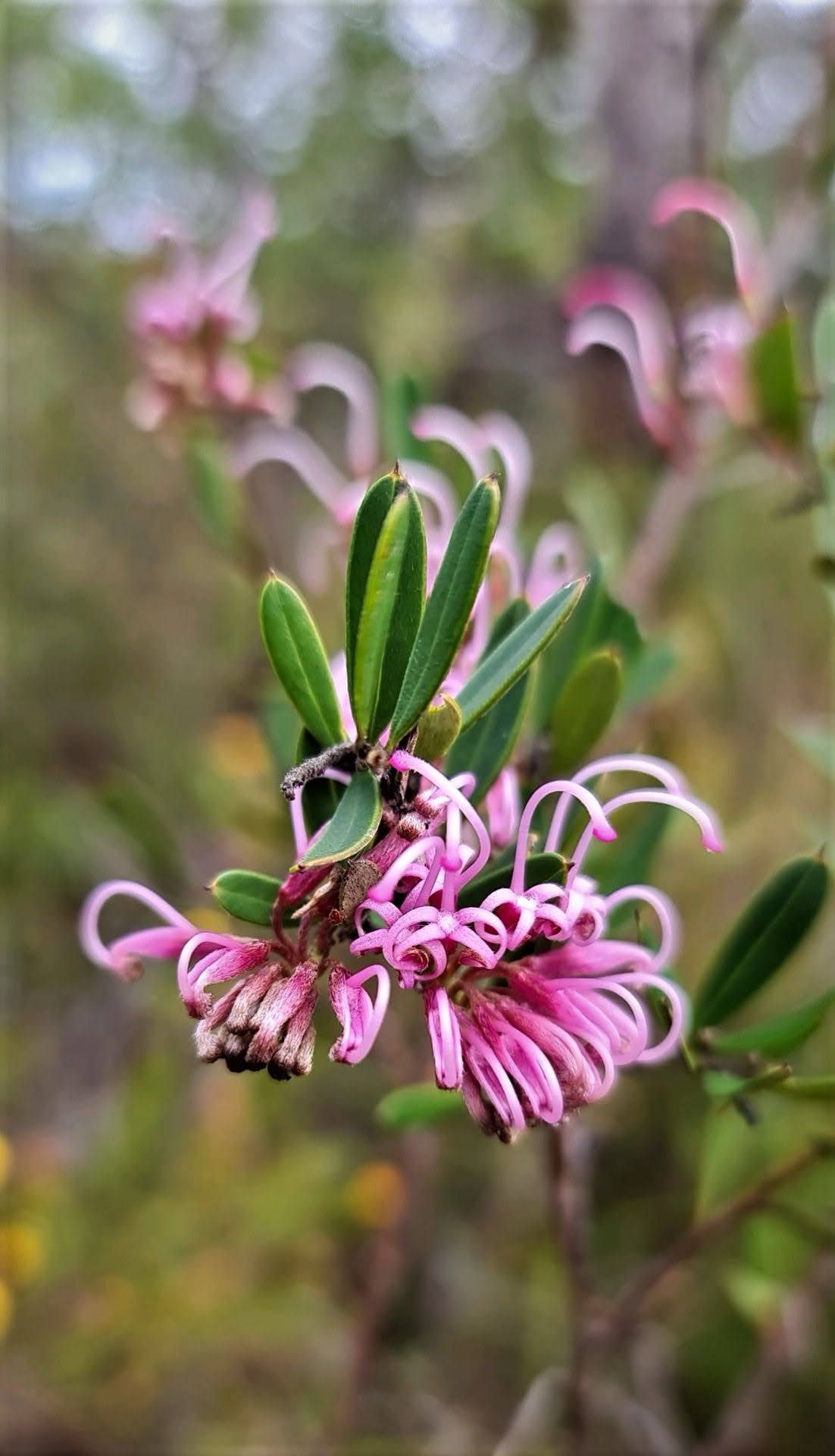
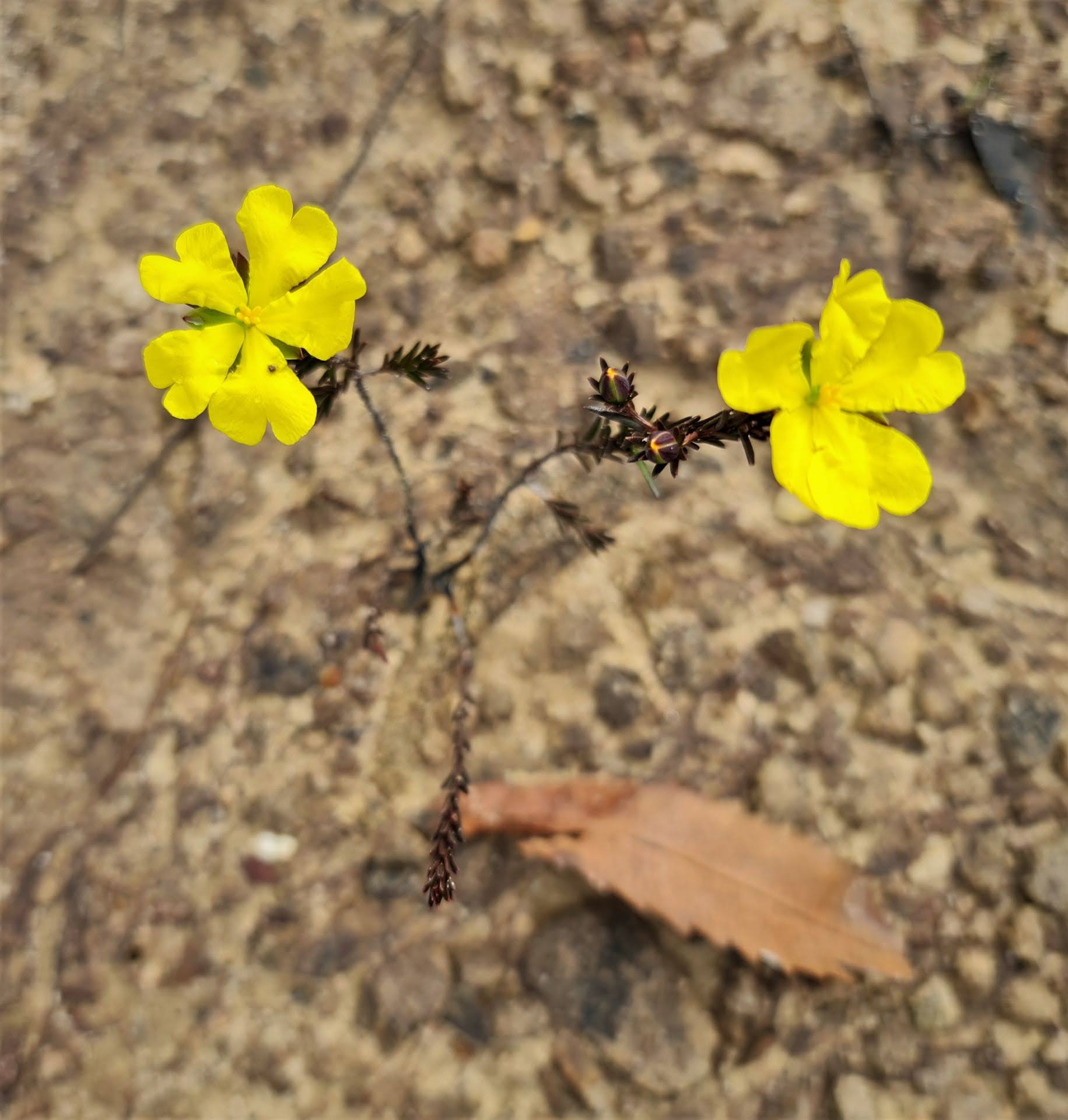
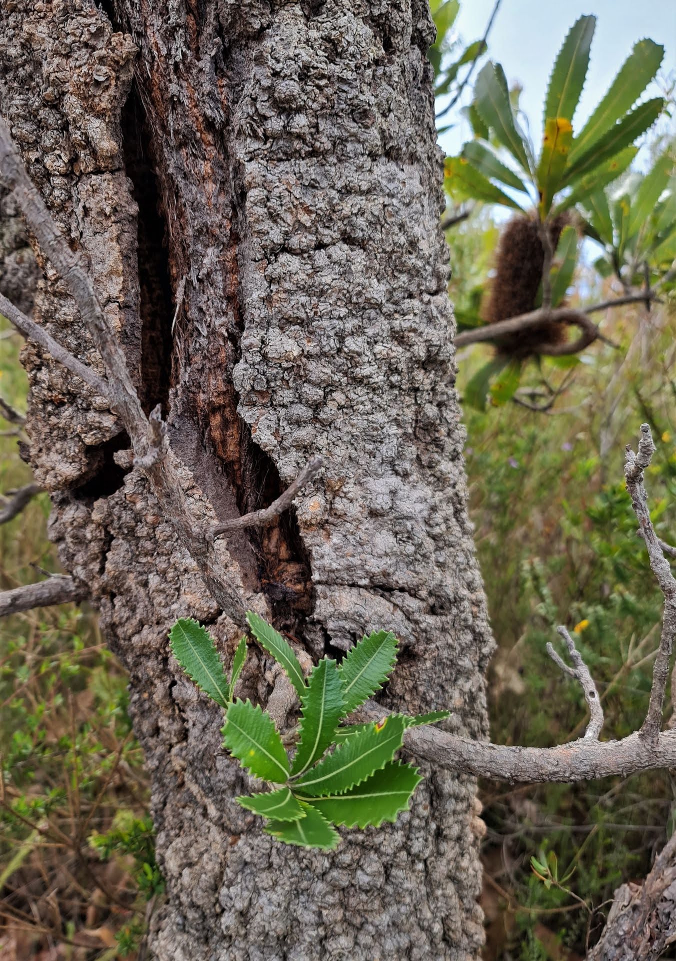
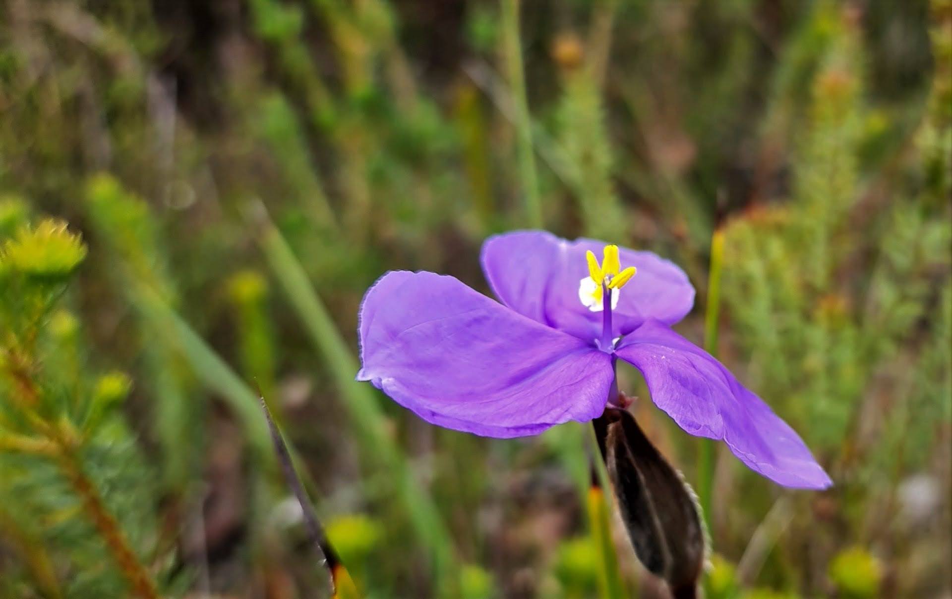
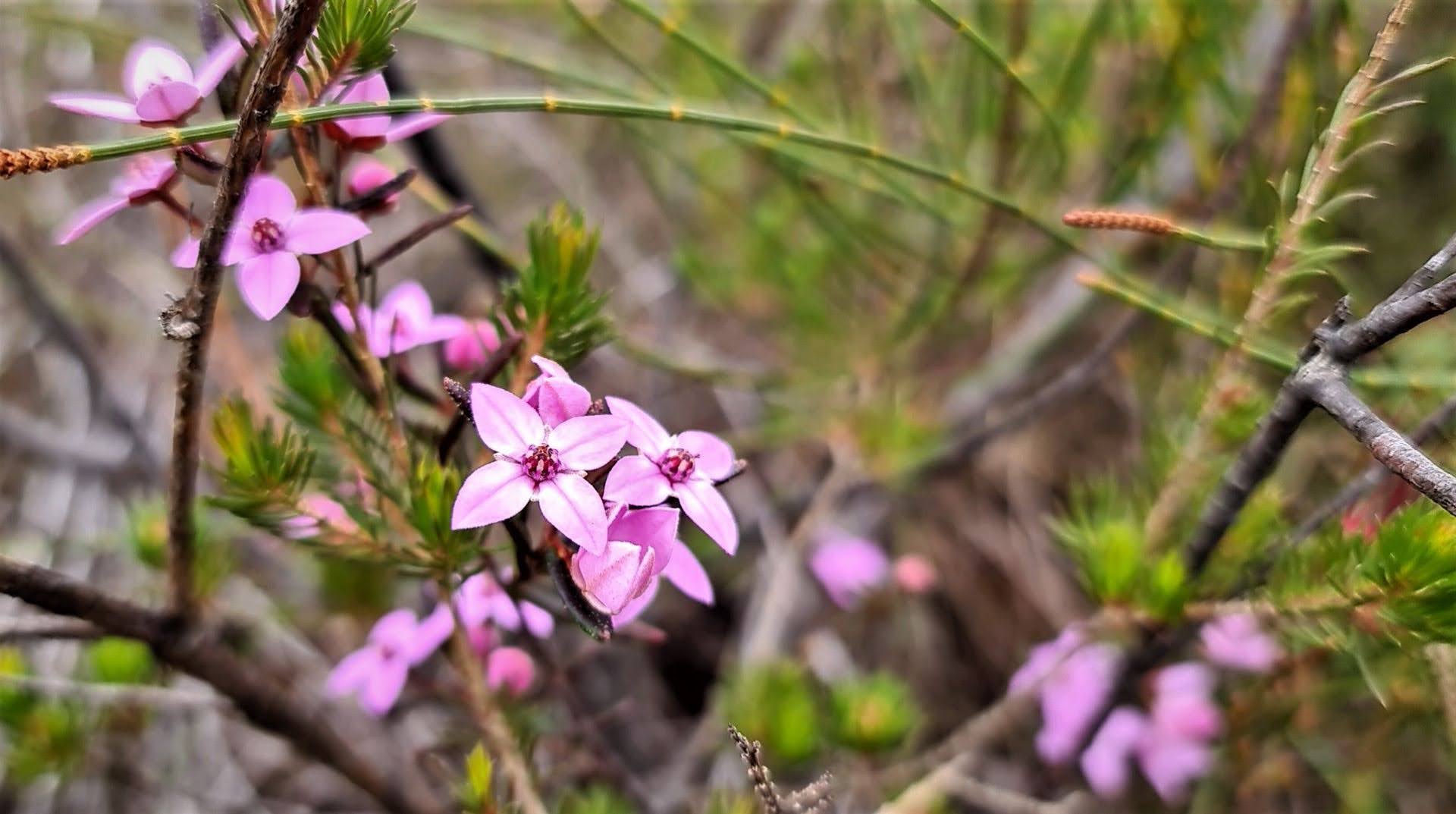
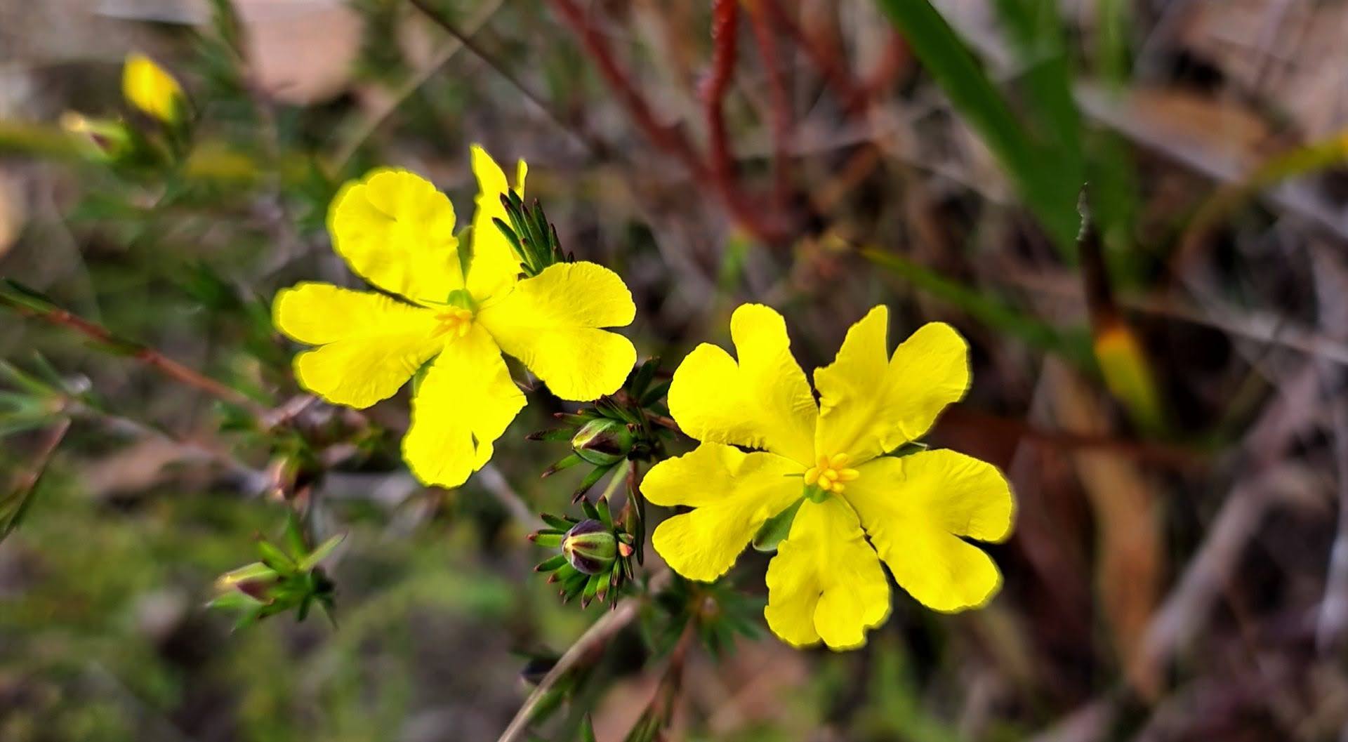
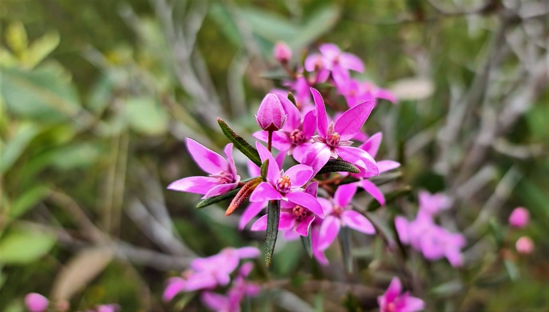
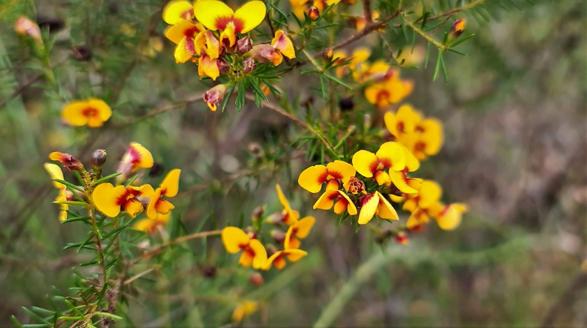
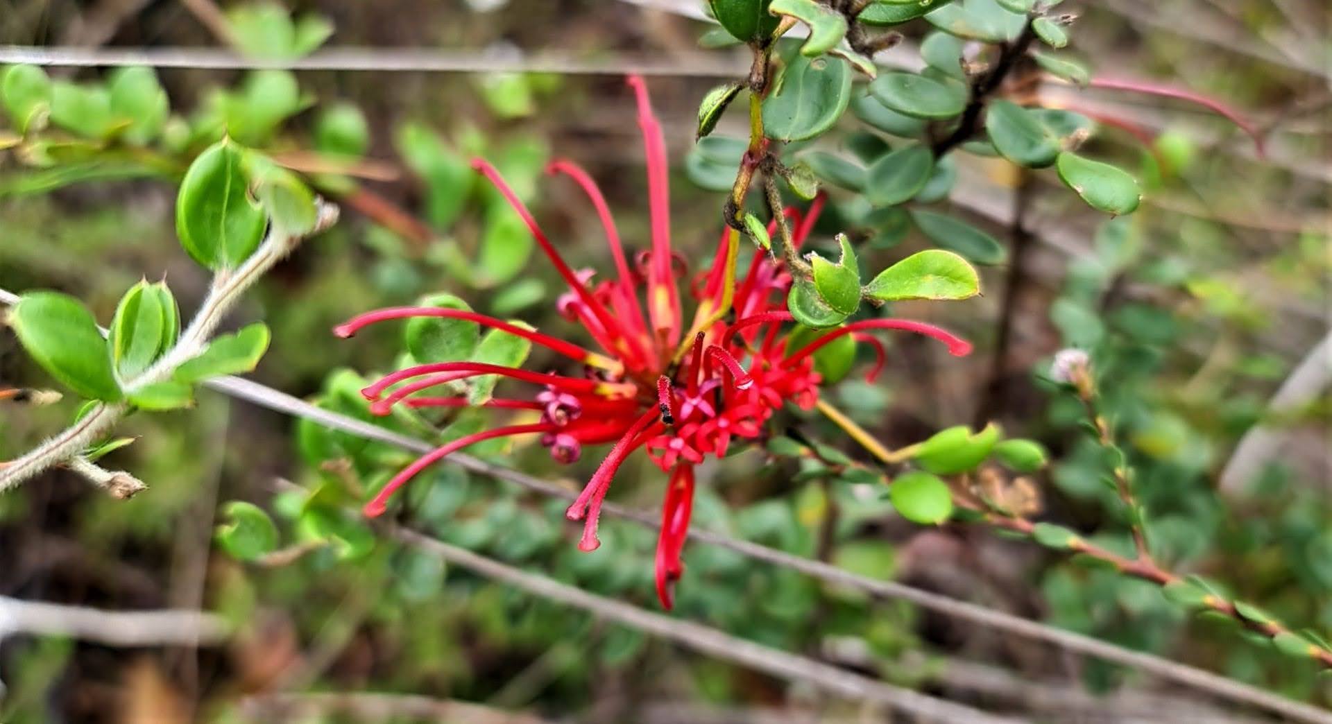
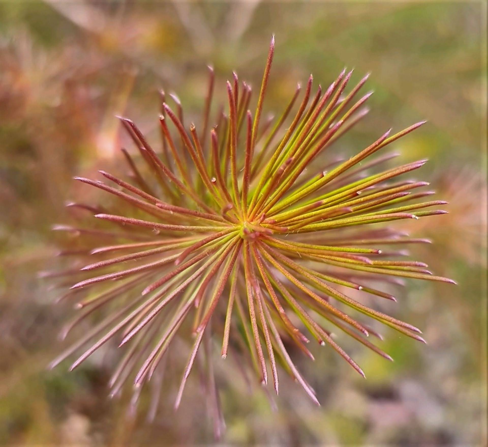
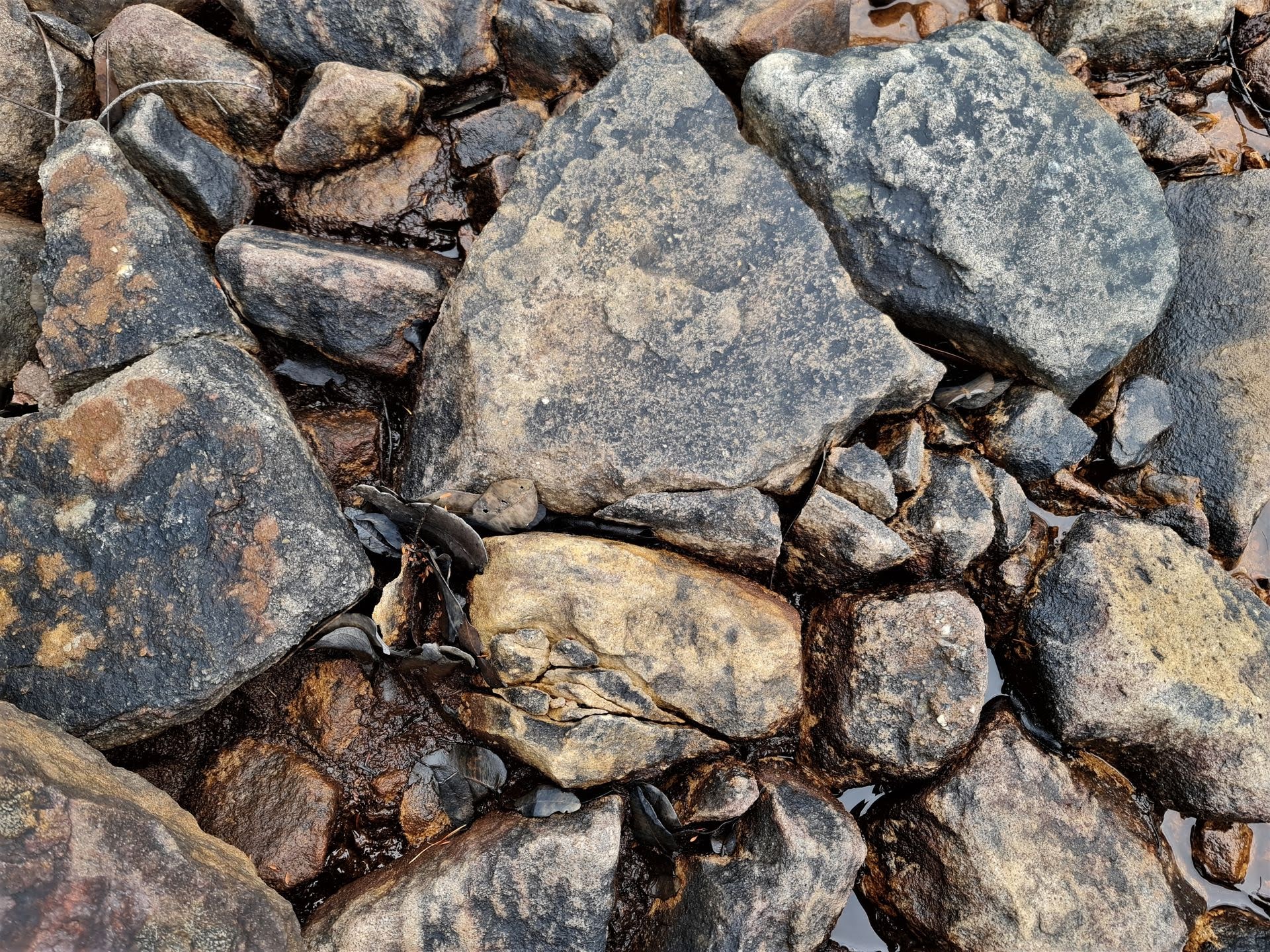
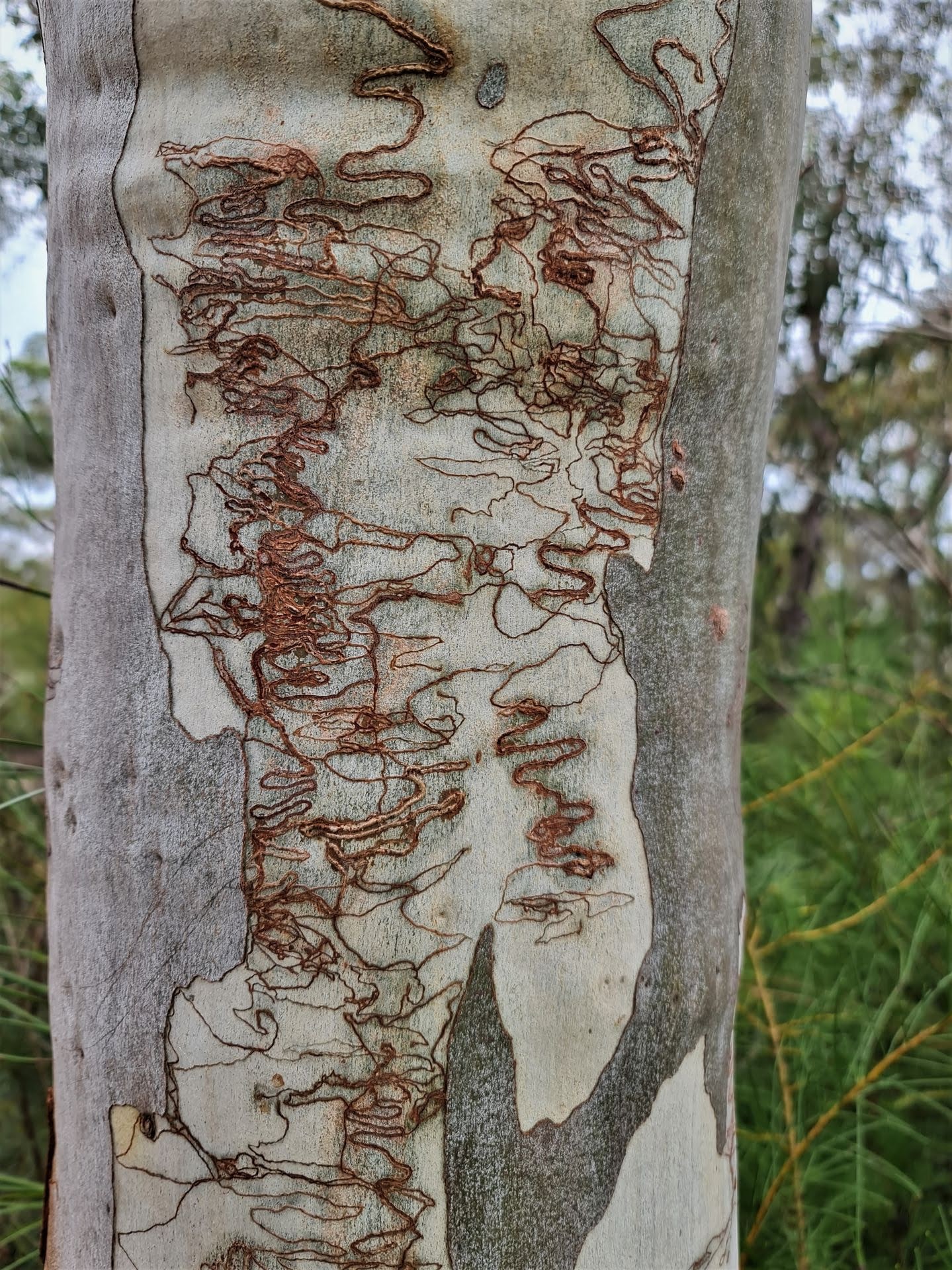
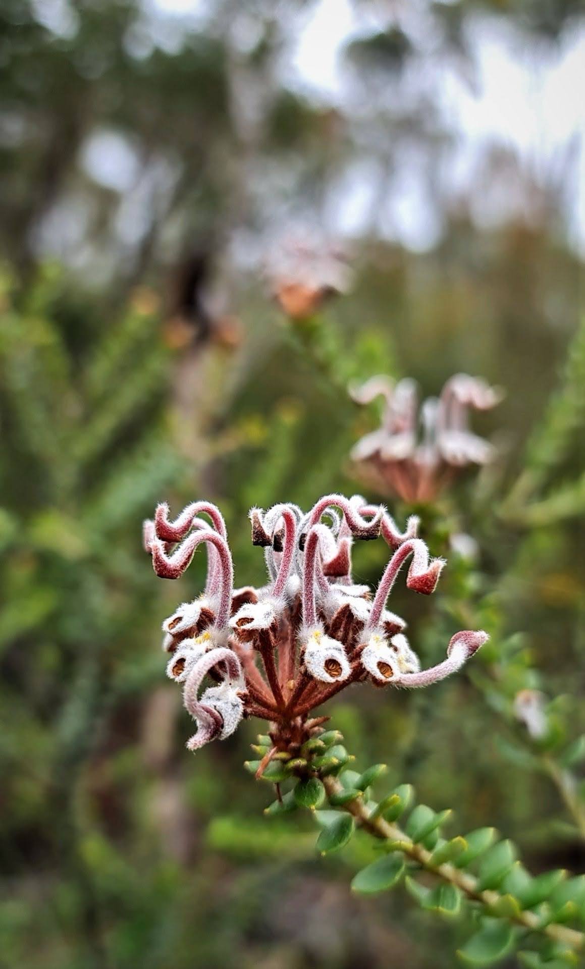
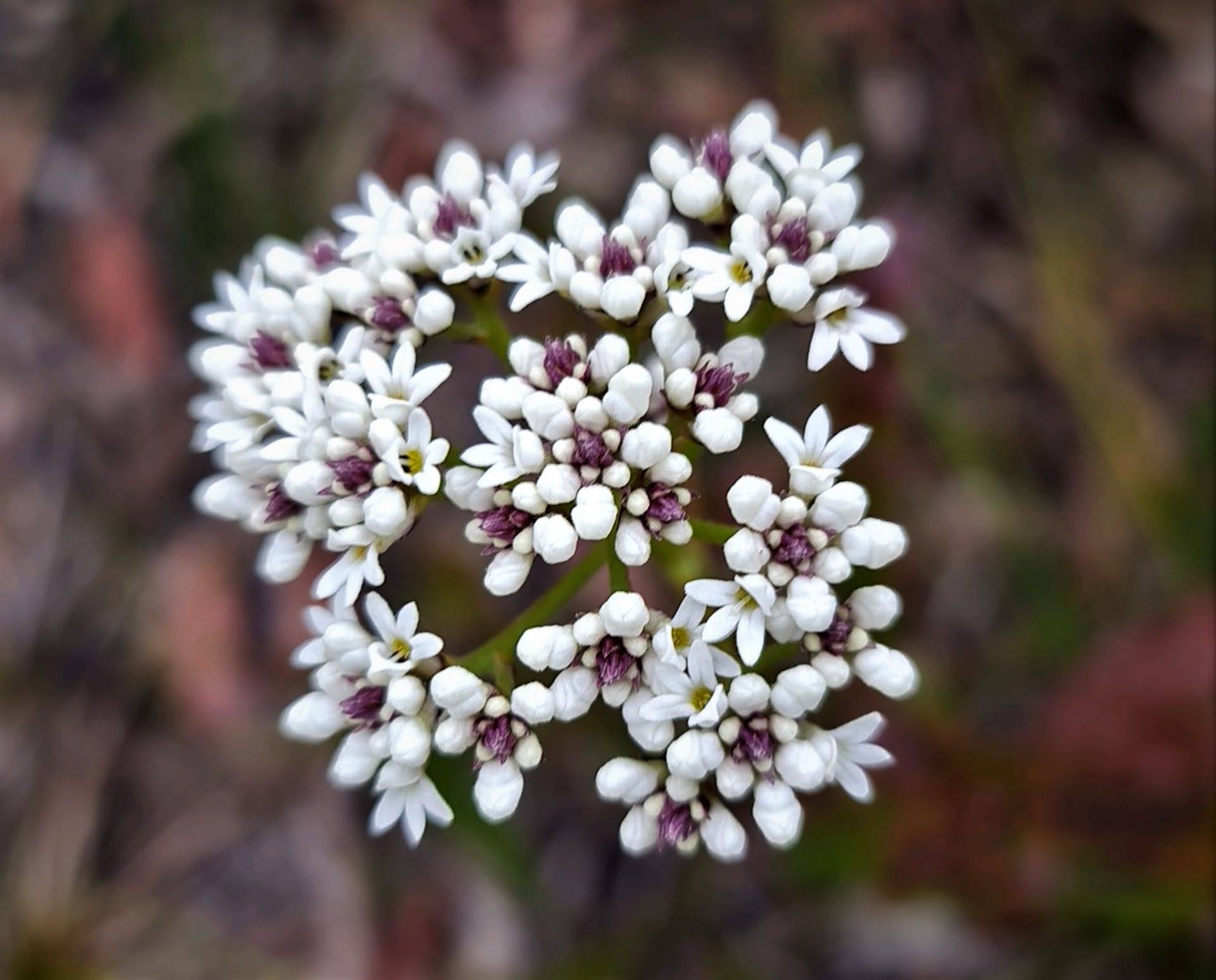
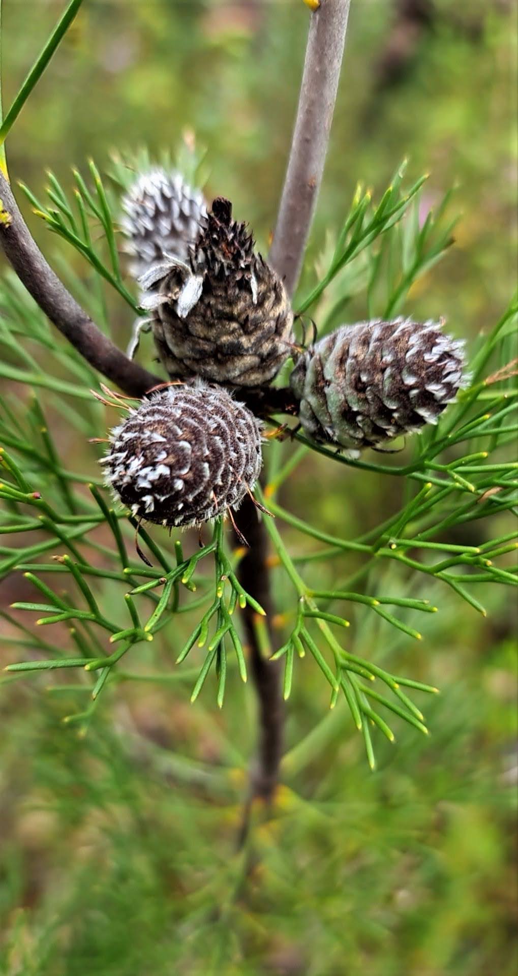
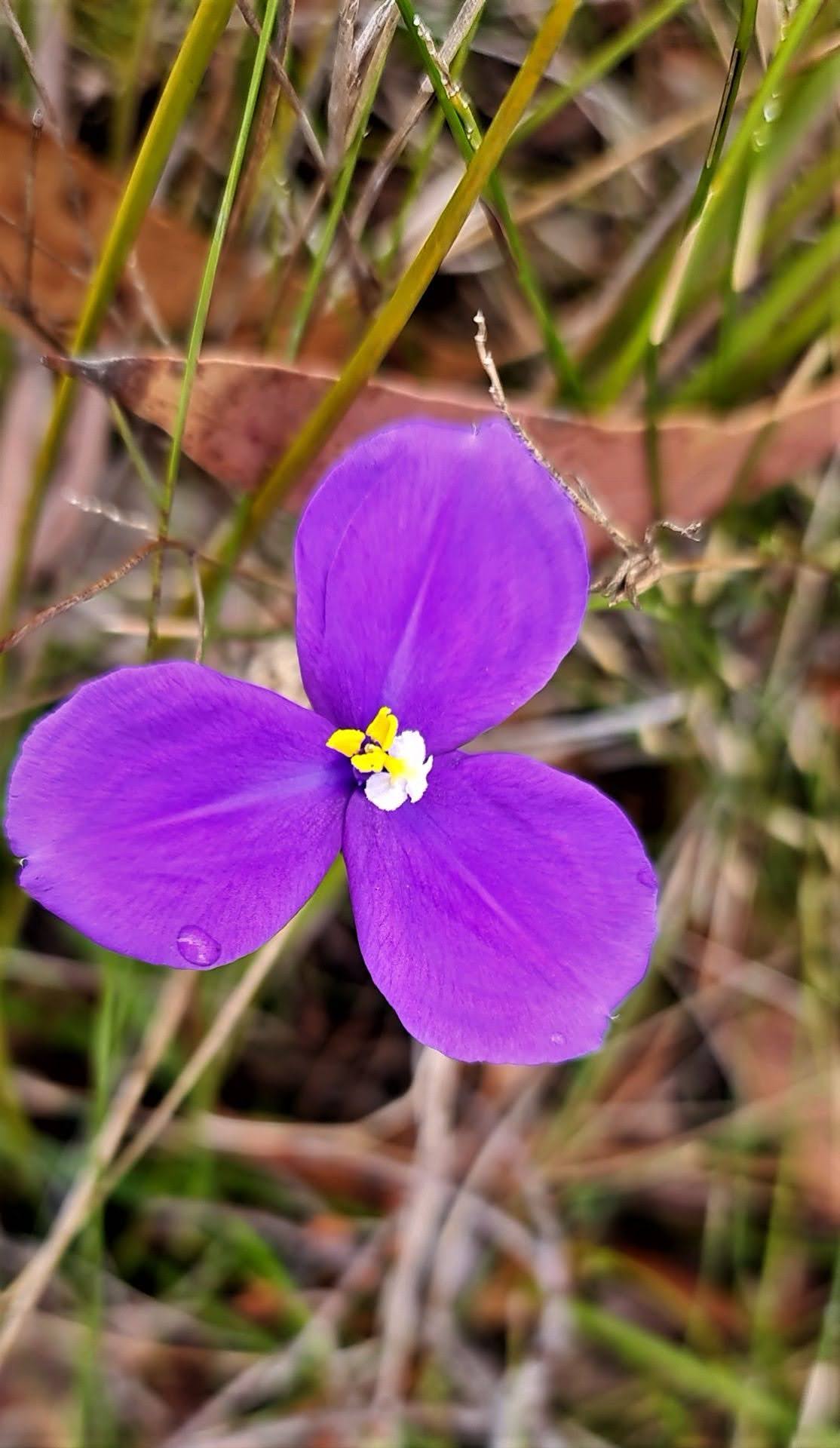
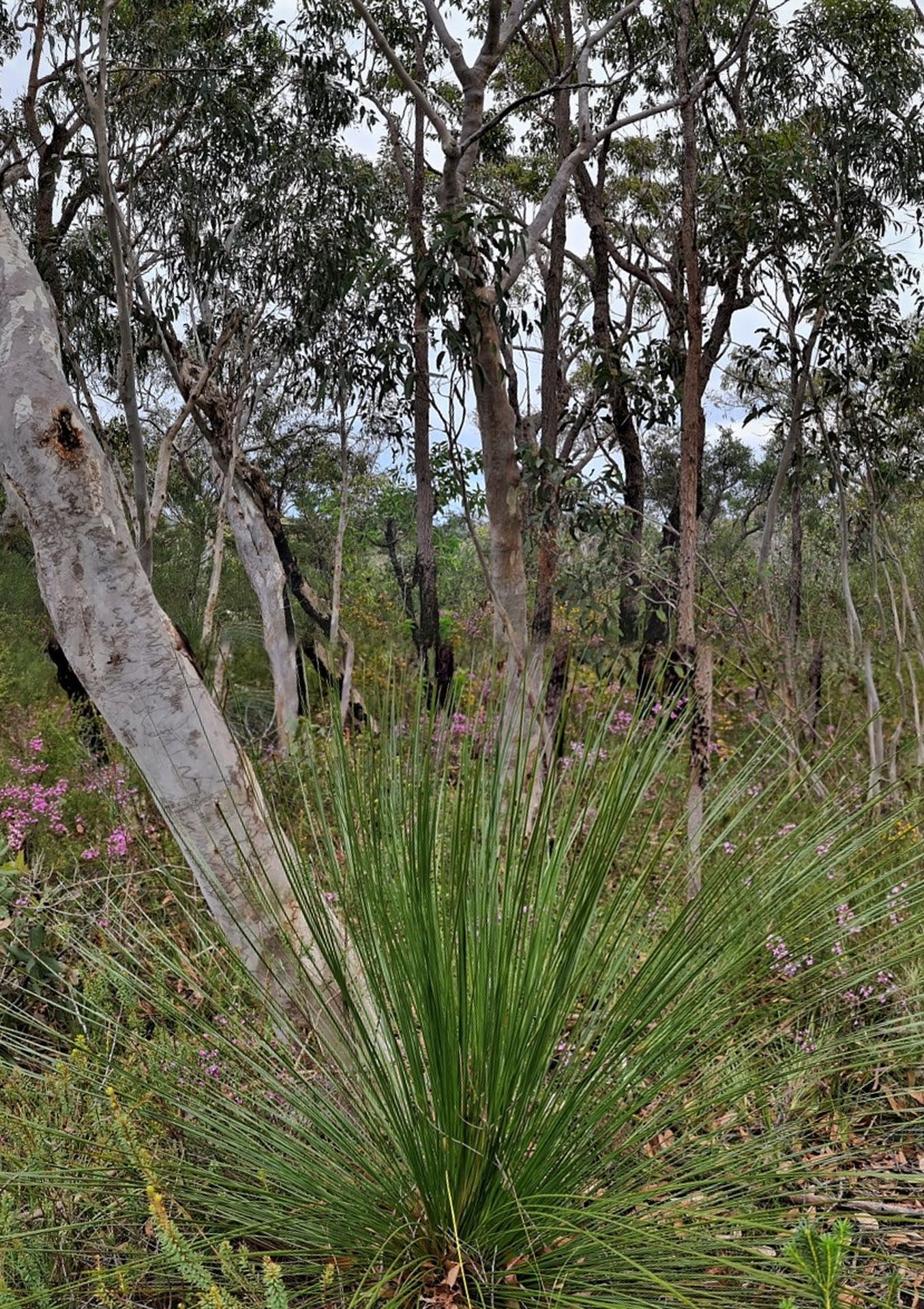
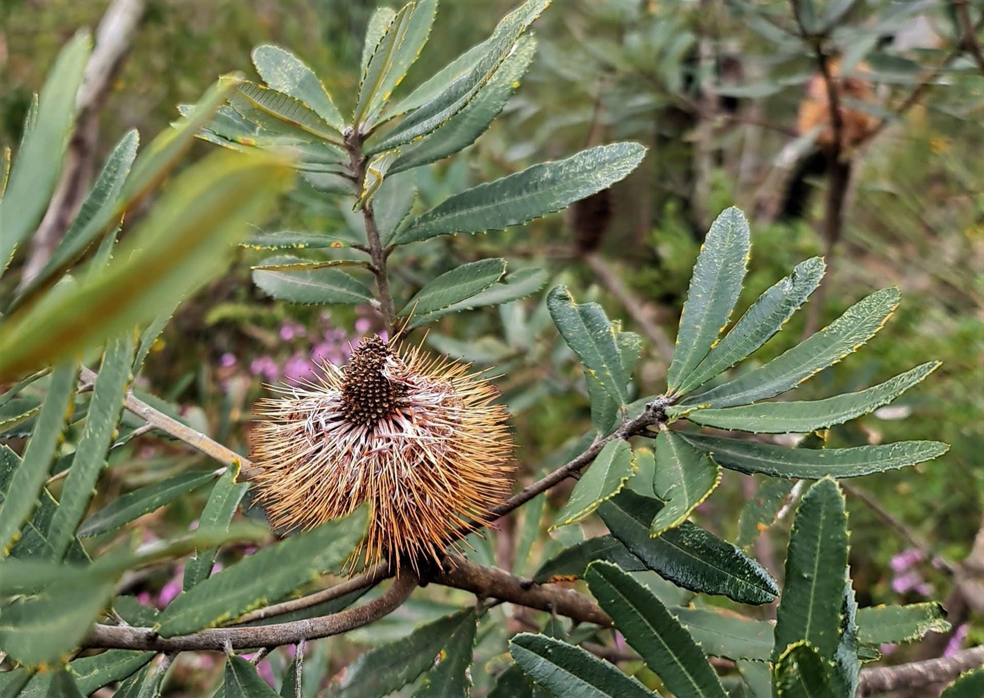
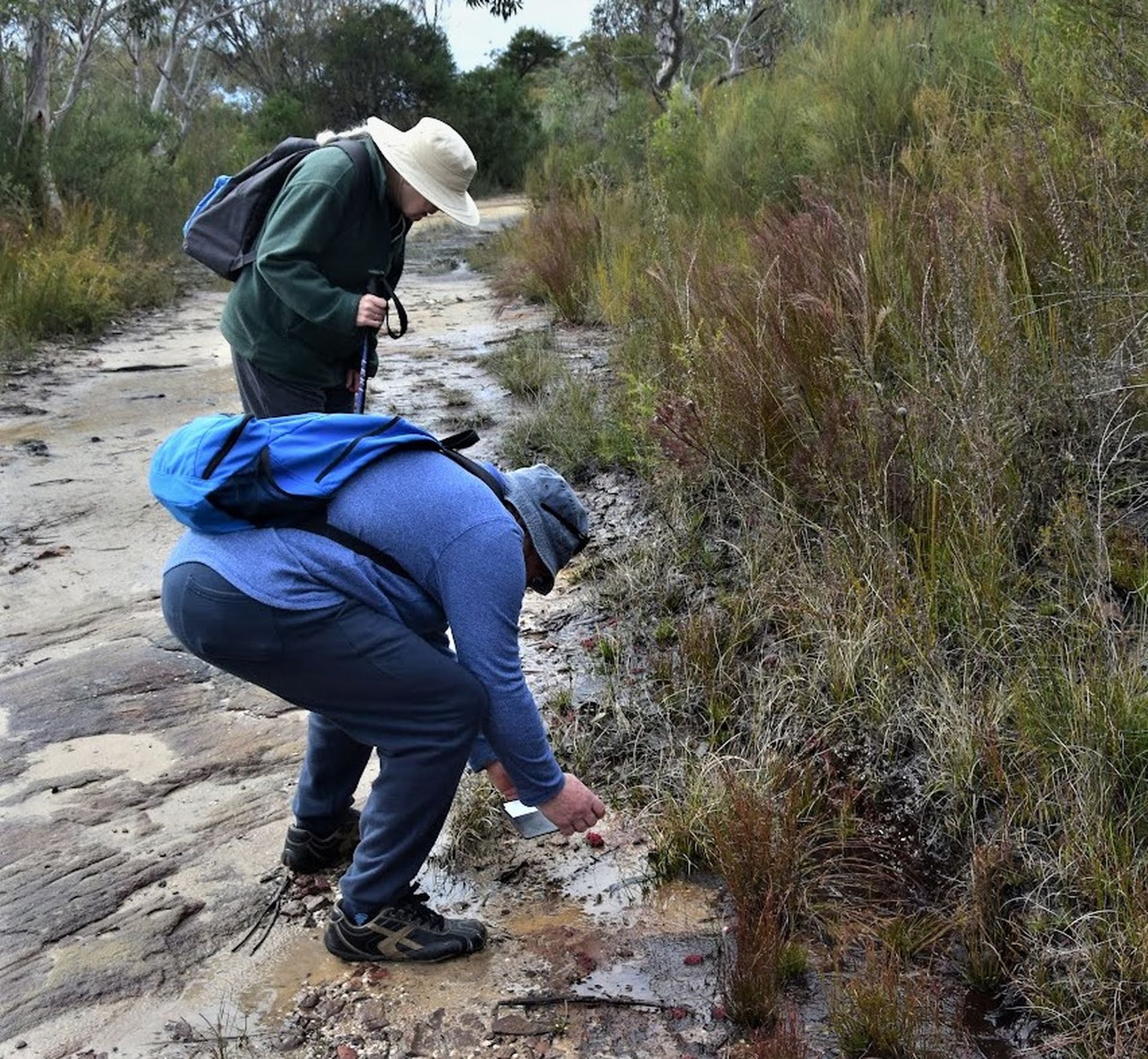
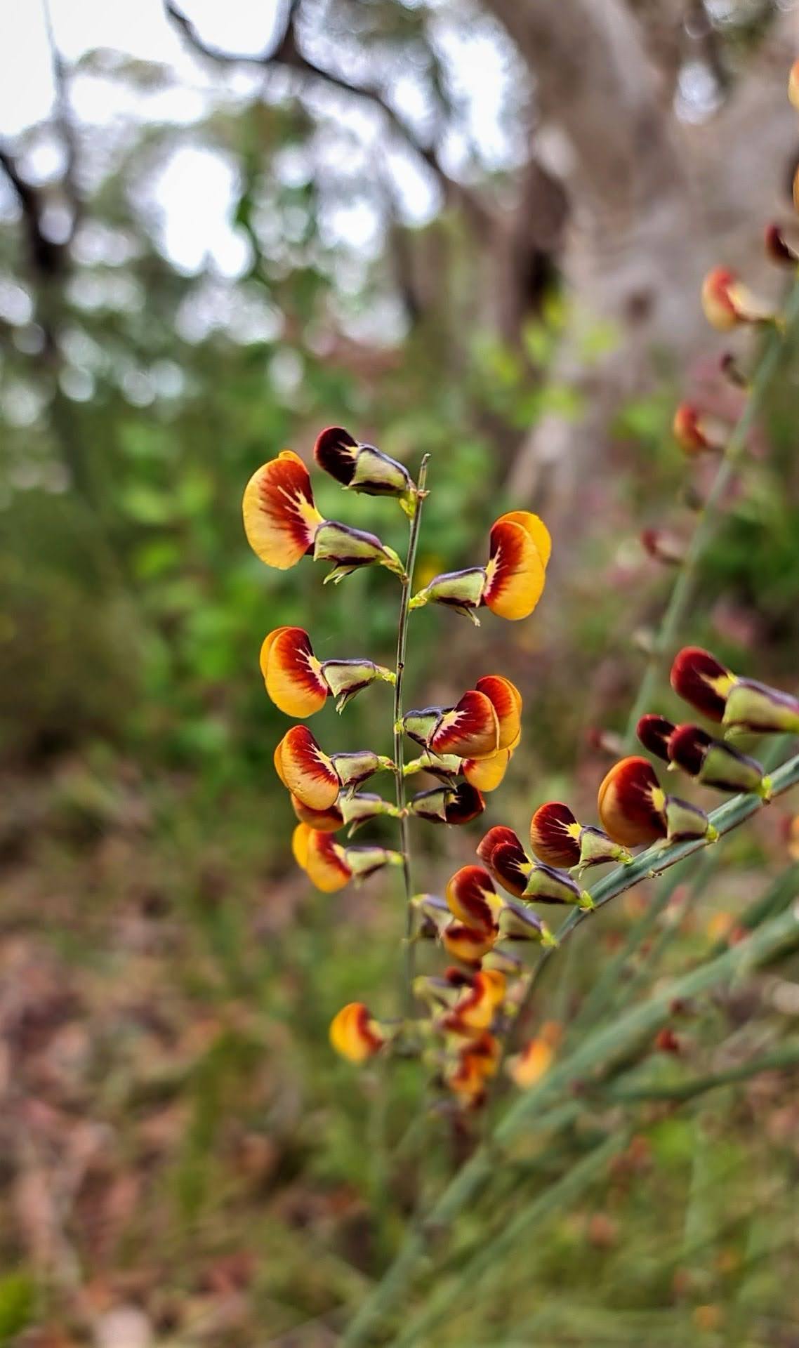
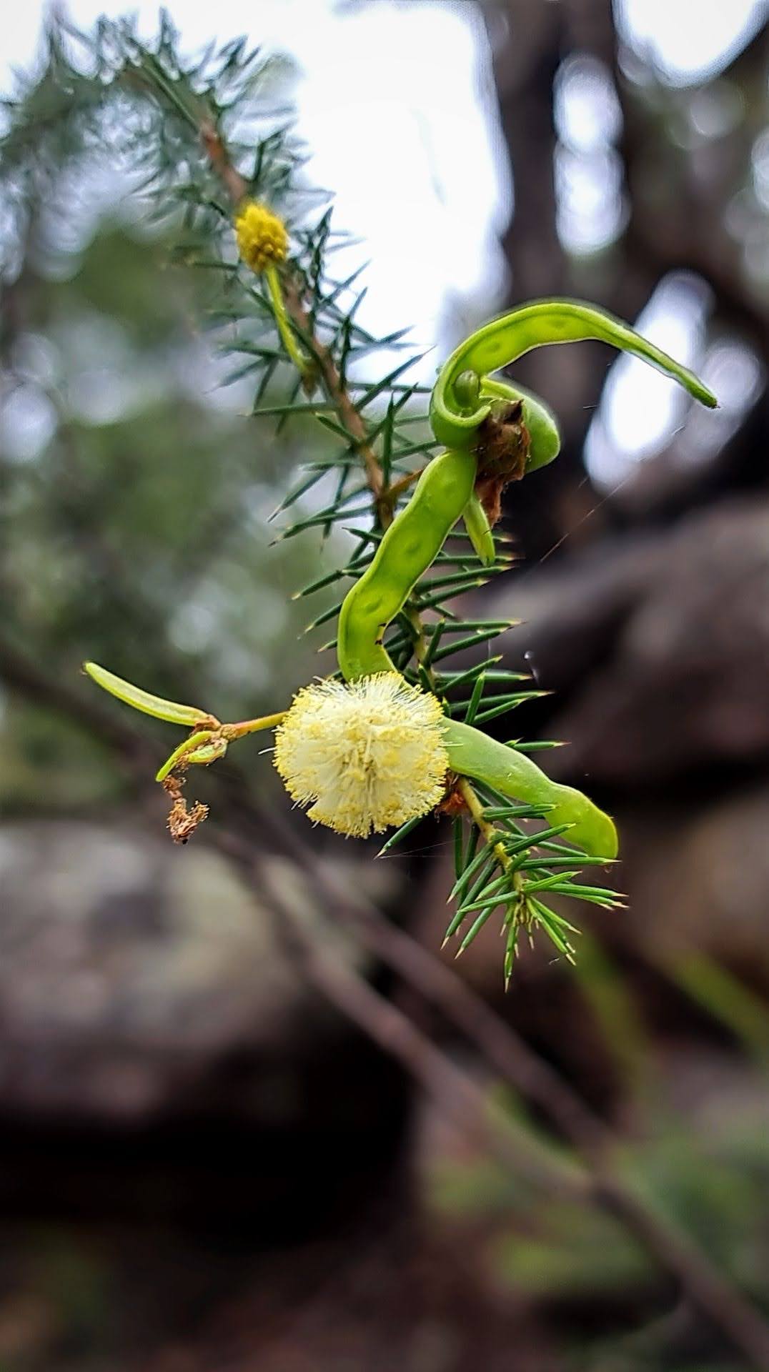
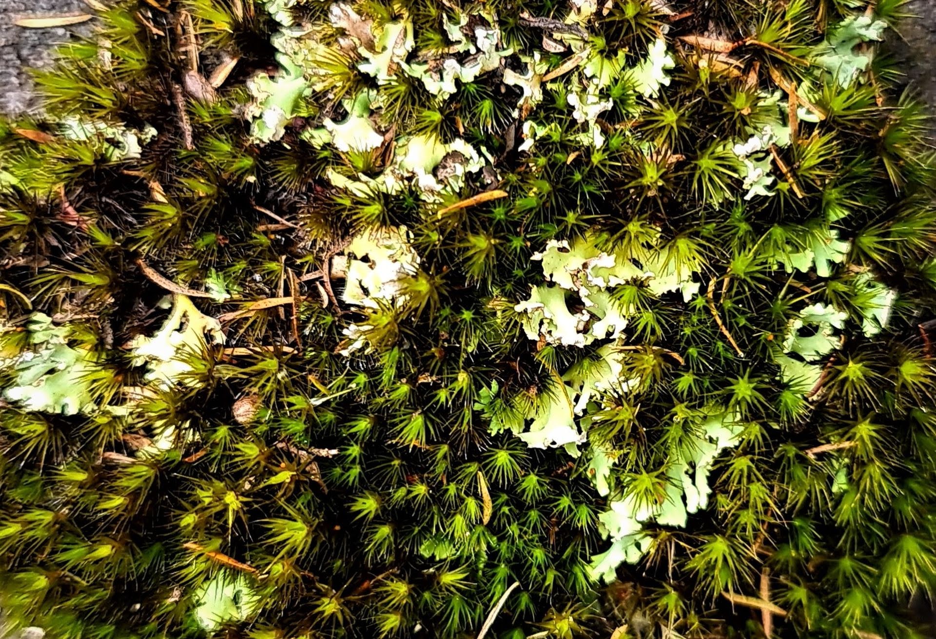
Joe and Kevin's great photos of their trek run below, featuring all those wonderful locla bushflowers already out.
.jpg?timestamp=1660285736251)
.jpg?timestamp=1660285787706)
.jpg?timestamp=1660286198331)
.jpg?timestamp=1660286222325)
.jpg?timestamp=1660285824630)
.jpg?timestamp=1660286256143)
.jpg?timestamp=1660285855412)
.jpg?timestamp=1660285940156)
.jpg?timestamp=1660286385196)
.jpg?timestamp=1660286422779)
.jpg?timestamp=1660286330044)
.jpg?timestamp=1660286049838)