sm.jpg?timestamp=1776995109274)
.jpg?timestamp=1776995797898)
sm.jpg?timestamp=1776995156096)
sm.jpg?timestamp=1776995189101)
sm.jpg?timestamp=1776995221269)
sm.jpg?timestamp=1776995255040)
.jpg?timestamp=1776995457998)
.jpg?timestamp=1776995483744)
.jpg?timestamp=1776995636318)

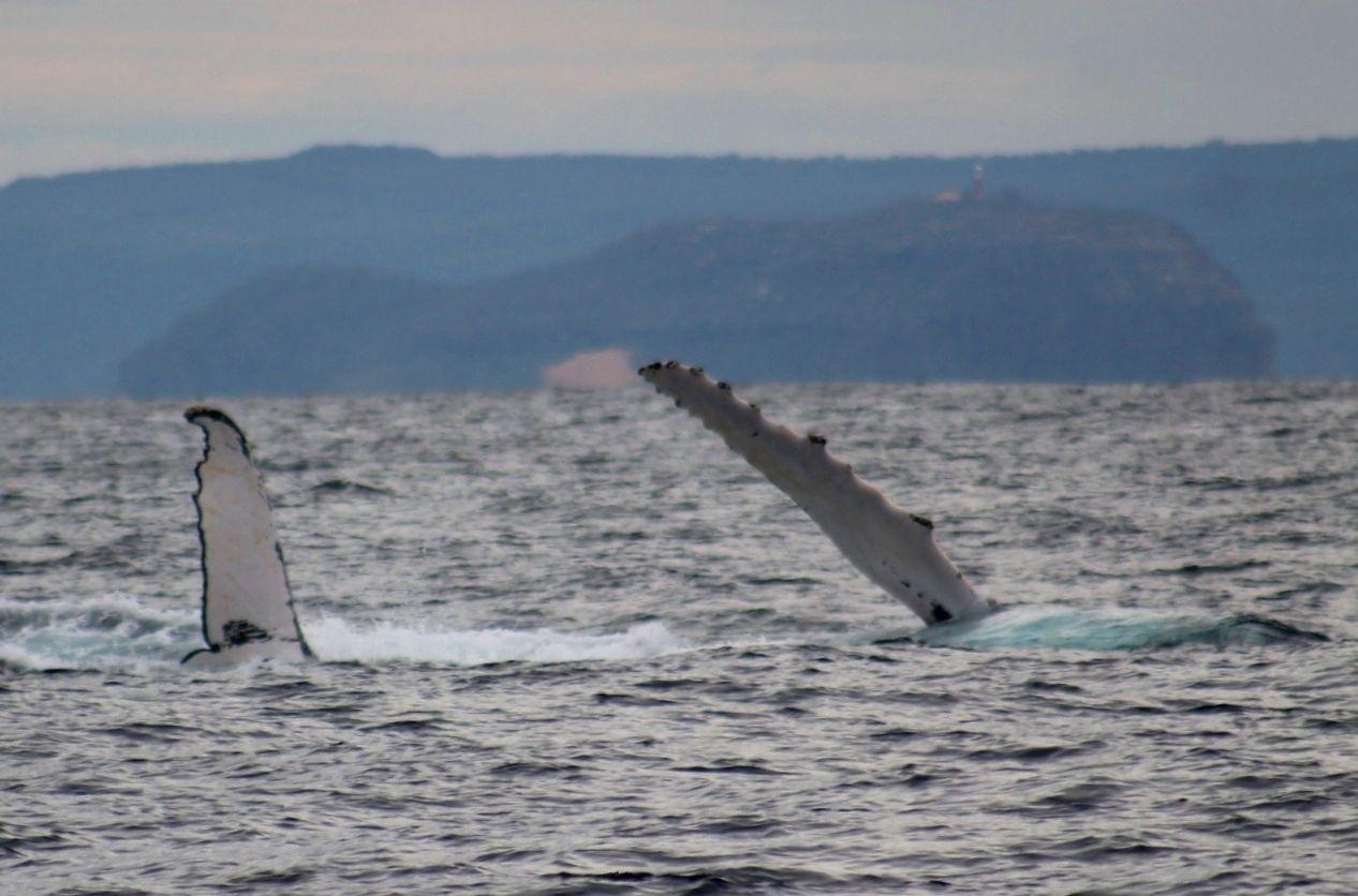
You might know the short-tailed shearwater and sable shearwater by the common name “muttonbirds”. These two species of seabird breed on islands off southeastern Australia. Both undertake a breathtaking two-week, non-stop flight across the Pacific to the Bering Sea, more than 10,000 km away near Alaska and Russia. Here, they spend the northern summer.
Shearwaters have to survive often-ferocious conditions. Researchers using tracking technology found a shearwater flying inside the eye of a hurricane for 11 hours at an altitude of 4,700 m and winds exceeding 200 km/hr. The bird lived.
These remarkable birds have evolved special features such as tendons in their shoulder joints allowing them to take advantage of intense winds. Rather than being harmed, they use powerful winds to catapult them vast distances while expending minimal energy.
This is why it’s puzzling when many people – and wildlife agencies – blame strong winds or “migration” for the increasing numbers of dead shearwaters seen on Australian beaches.
In our new research, we point to the real cause of deaths in Australian waters: starvation linked to climate change. Researchers overseas have also pinpointed ocean warming as a key factor in mass deaths of seabirds.
Why blame the wind?
Pelagic (ocean-going) seabirds such as shearwaters rarely approach land other than to breed on their chosen islands – or if they are sick, starving or dying and don’t have enough energy to use the wind as they want.
In these cases, the wind can often push them onshore where beachgoers might see them and assume the strong winds are to blame.
Dead or dying beach-washed shearwaters are typically found over a vast area, from Queensland to Tasmania. This means the causes of these deaths must cover a large area – it can’t just be localised storms.
Shearwaters can survive long periods without food, but they have their limits. The waters of Australia’s east coast are a hotspot for marine biodiversity. But these same waters are warming significantly faster than the global average. As more and more heat is funnelled into the oceans, the prey species the shearwaters rely on are moving elsewhere, or going deeper. With their food out of reach, the birds grow weaker and many will die.
Many beachgoers spotting a dead shearwater may think this is normal, as they have seen this before. But it’s not normal. Of the world’s roughly 10,000 bird species, about 1,800 migrate, travelling long distances every year. These include shorebirds, land birds and seabirds. Almost none are regularly found dead on beaches or anywhere else. When they are found dead, they are very often emaciated.

Mass deaths are multiplying
The death of large numbers of birds in a short time is called a “wreck”. In birds, these sad events are typically linked to less prey and warmer waters.
From 2014 to 2015, around 400,000 Cassin’s auklets died off the Pacific northwest of the United States. The mass death of these small seabirds was linked to falling prey numbers brought on by a powerful marine heatwave which spread like a wildfire across the ocean.
Of all the extra heat trapped by climate change, more than 90% pours into the ocean. While the ocean gets gradually hotter, sudden marine heatwaves can bring abrupt, unwelcome change. Marine heatwaves are now striking more often and with increasing intensity.
While some species can adapt to some levels of change, others will not. Indeed, researchers predict “more losers than winners” as the rates of ocean warming rise.
Sadly, shearwaters look to be one such species. During a strong marine heatwave over the 2023-24 southern summer, an estimated 629,000 adult shearwaters died on Australian beaches. For the short-tailed shearwater, that’s around 3% of the global population, gone in a matter of weeks.
Shearwaters are globally recognised as sentinels of ocean health. When their populations are expanding and birds are able to successfully rear their young, this indicates the surrounding ocean is healthy and robust.
The deaths of hundreds of thousands of shearwaters in a single summer is an early warning of what is to come as ocean temperatures keep rising.![]()
Jennifer Lavers (Métis Nation ᓲᐊᐧᐦᑫᔨᐤ), Lecturer in Ornithology, Charles Sturt University
This article is republished from The Conversation under a Creative Commons license. Read the original article.


%20(1).jpg?timestamp=1675893929686)

.JPG.opt1460x973o0,0s1460x973.jpg?timestamp=1663629195339)


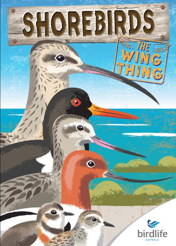
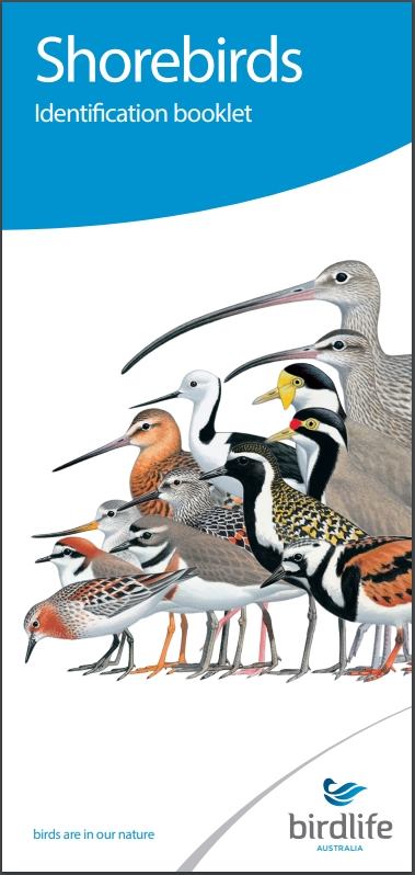 Shorebird Identification Booklet