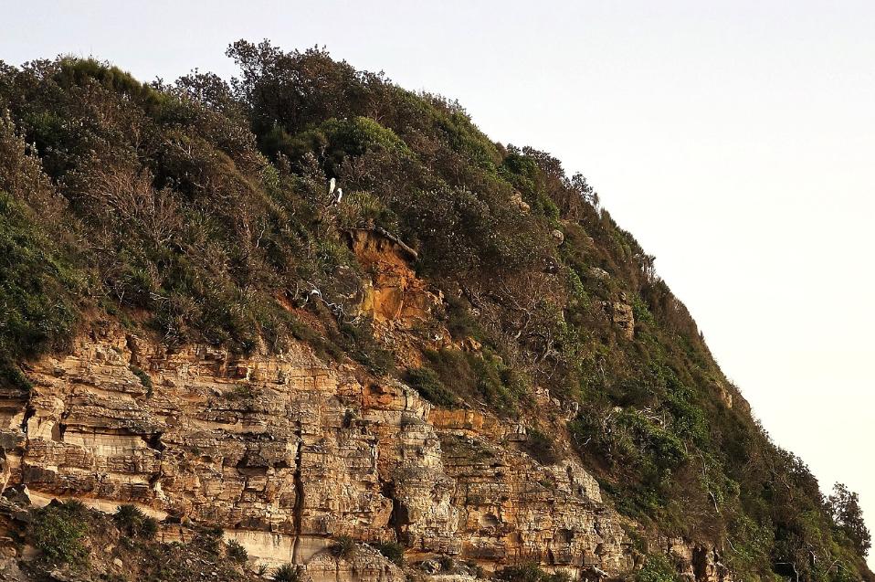
Narrabeen Headland - Sea Eagle pair.
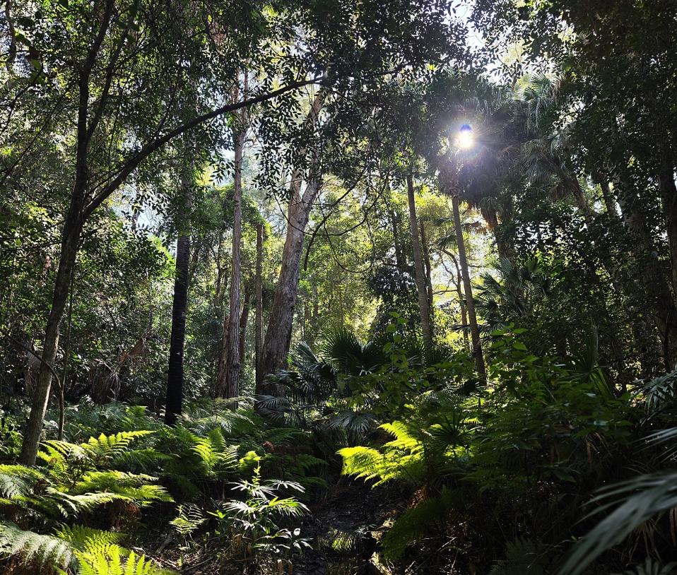
Fern Creek Tree Cathedral, Warriewood.
Warriewood home: incoming lunchtime storm
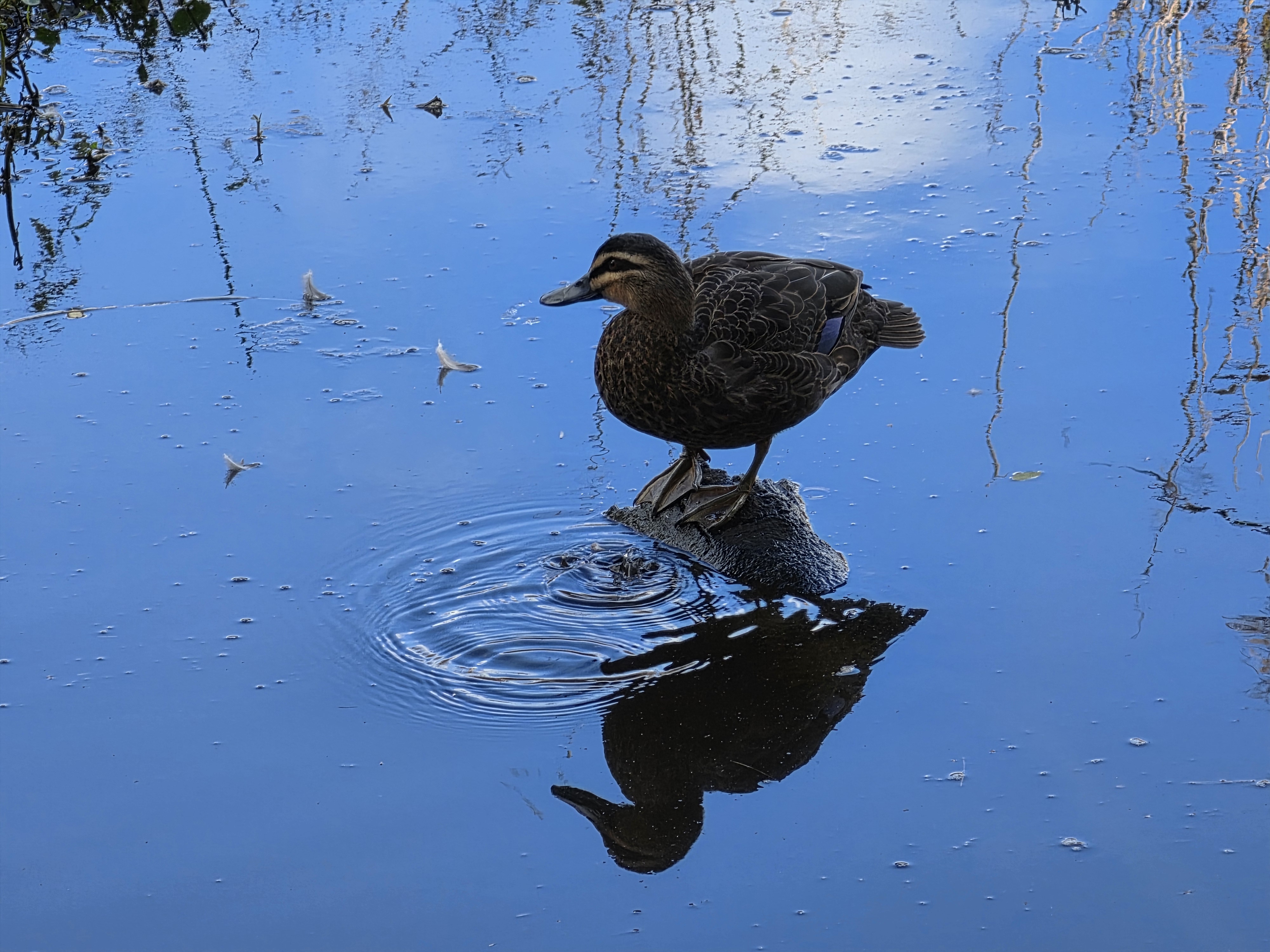
Warriewood Wetlands: Pacific Black Duck drinking
North Narrabeen Headland pre-sunrise
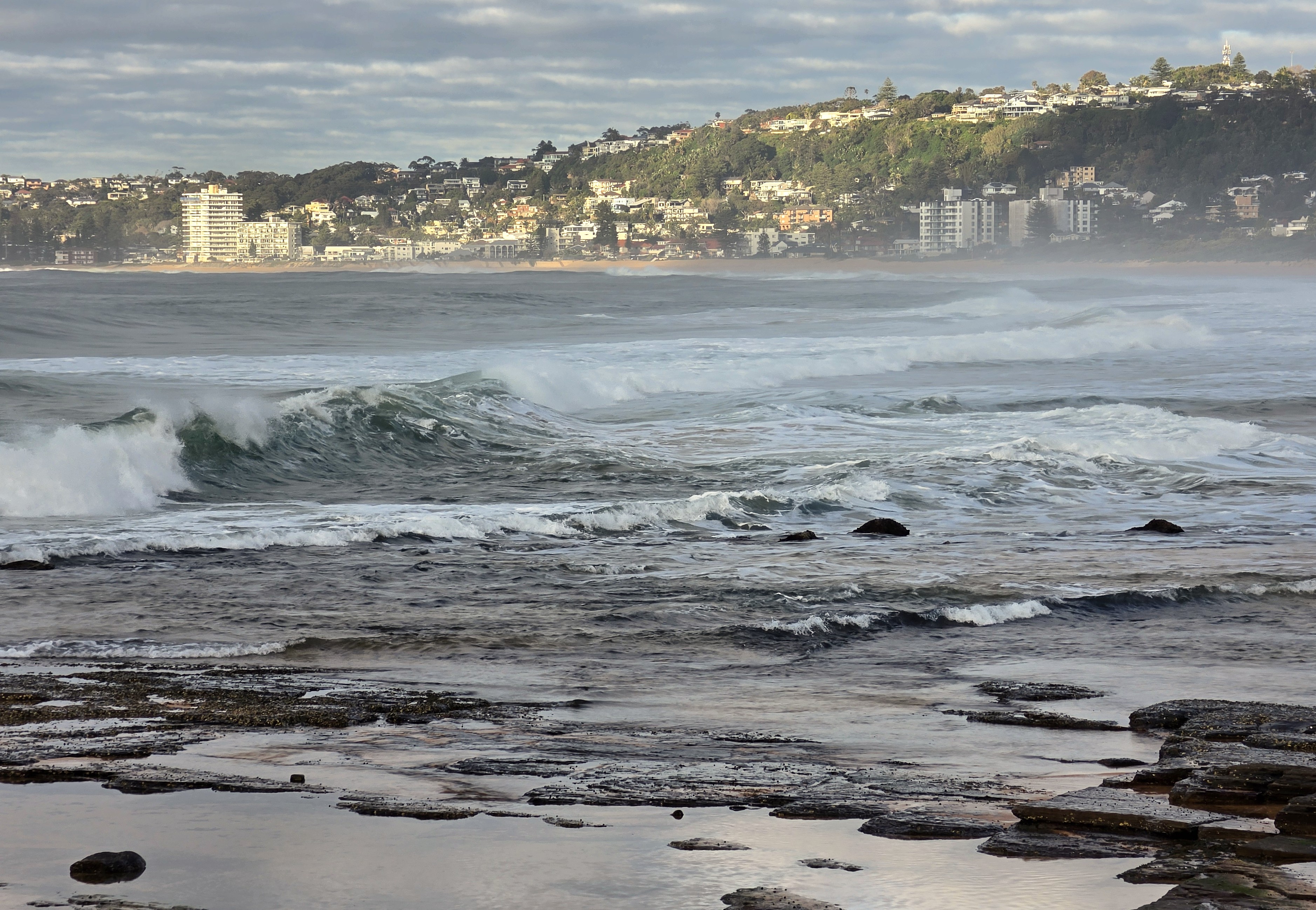
View towards Collaroy from North Narrabeen
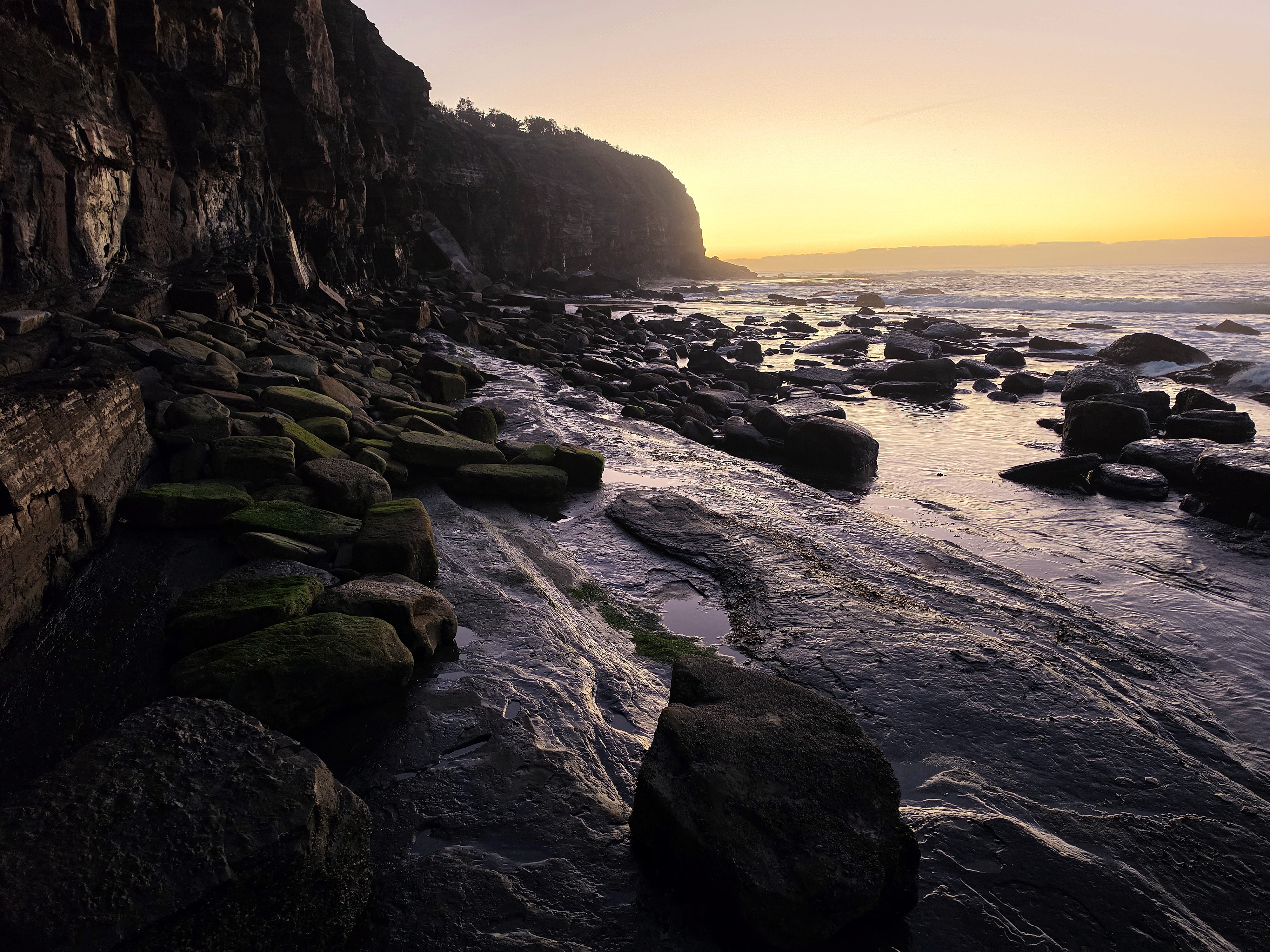
Turimetta Beach north end rocks (low tide)
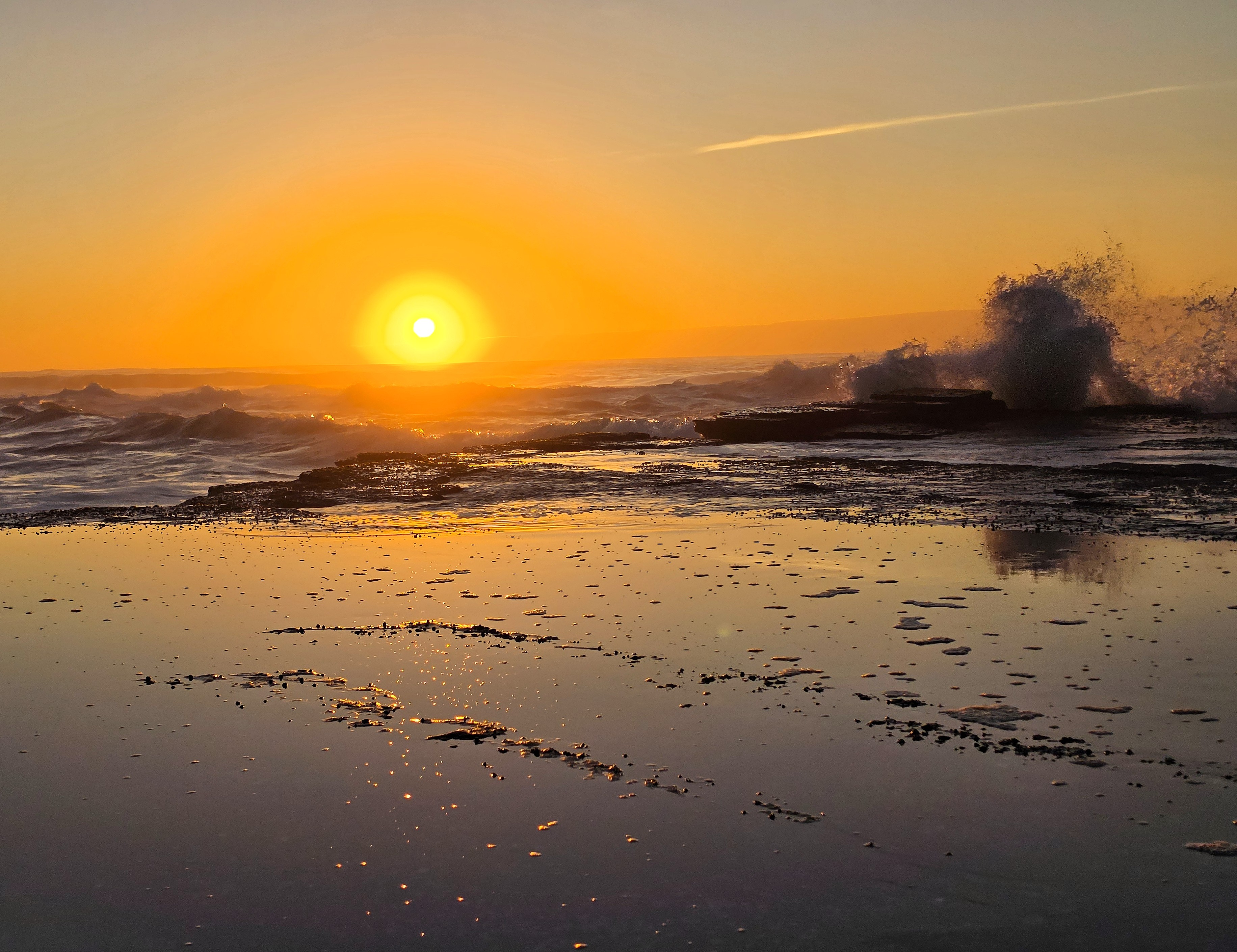
Narrabeen Headland rockshelf at sunrise
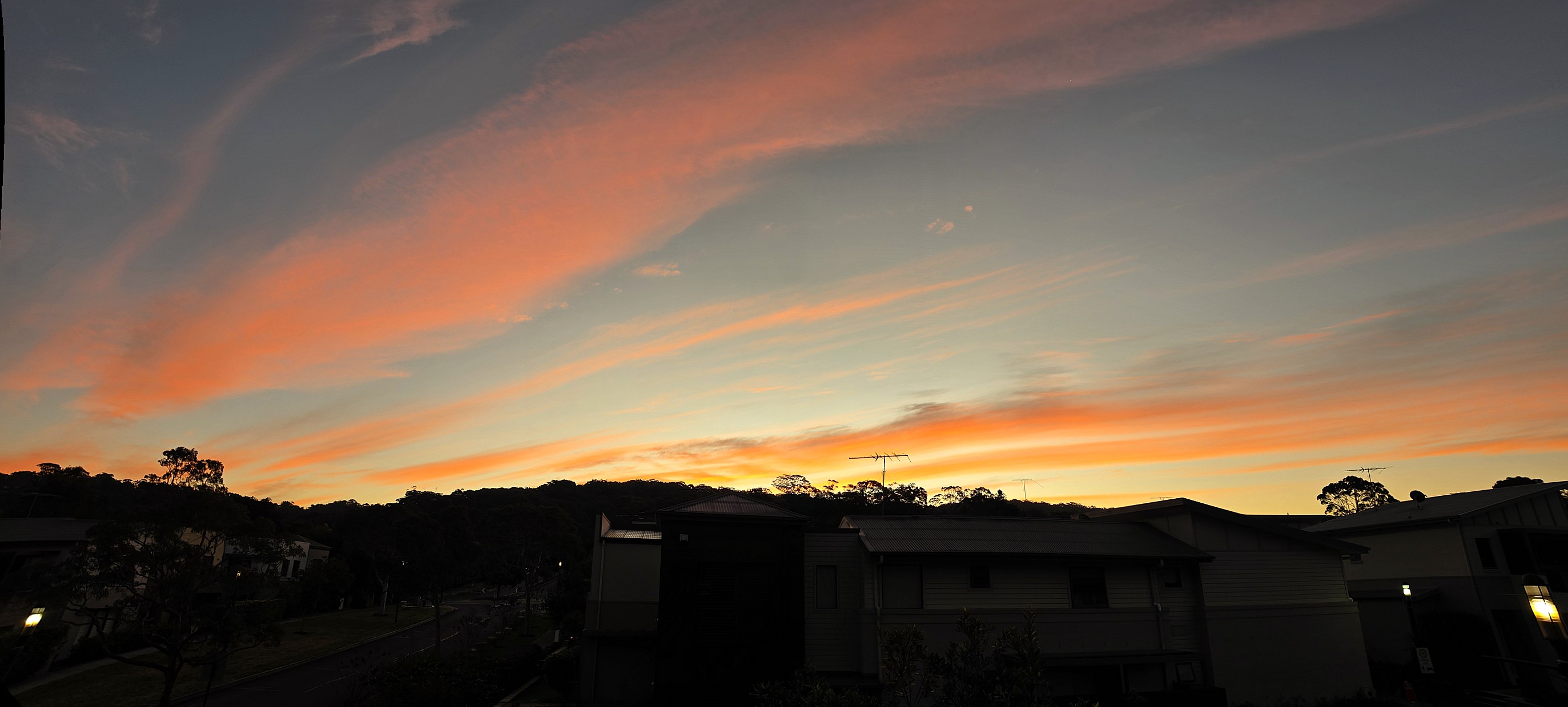
Warriewood home: streaky clouds at Sunset
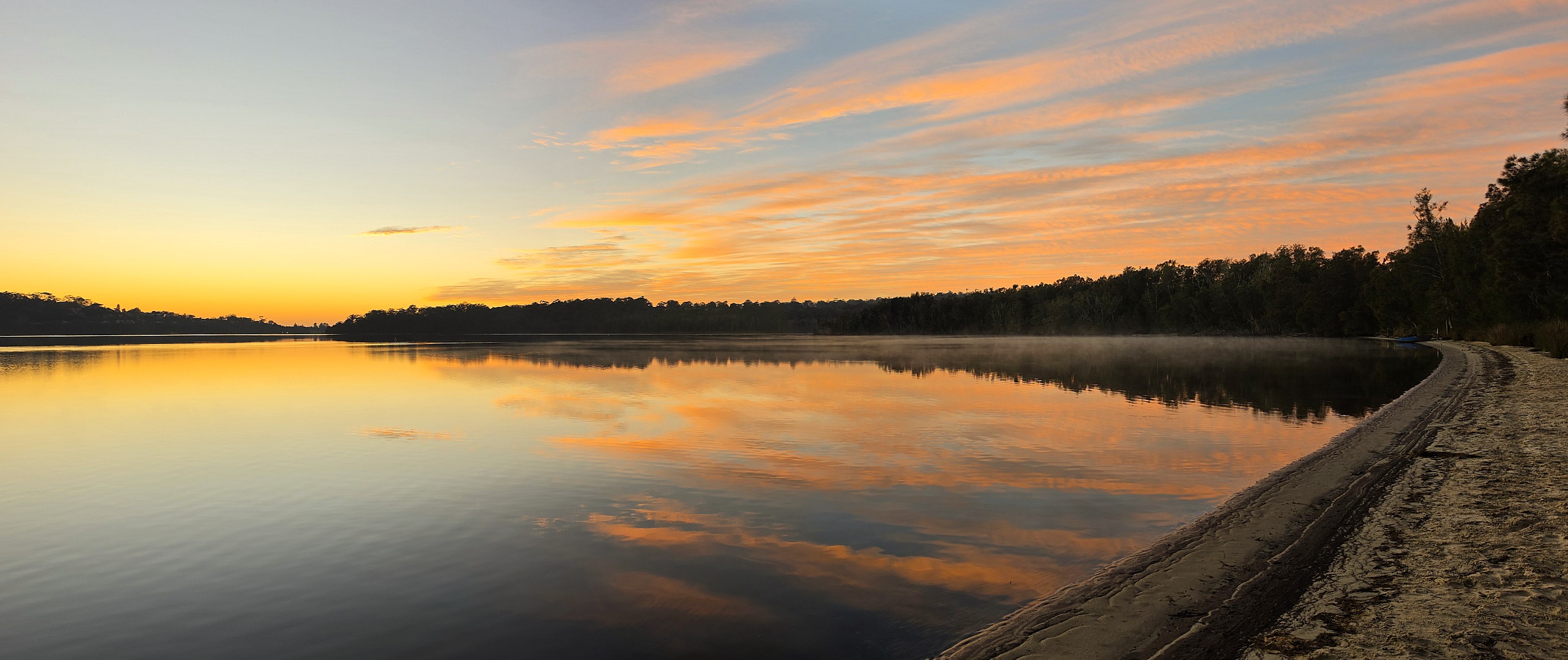
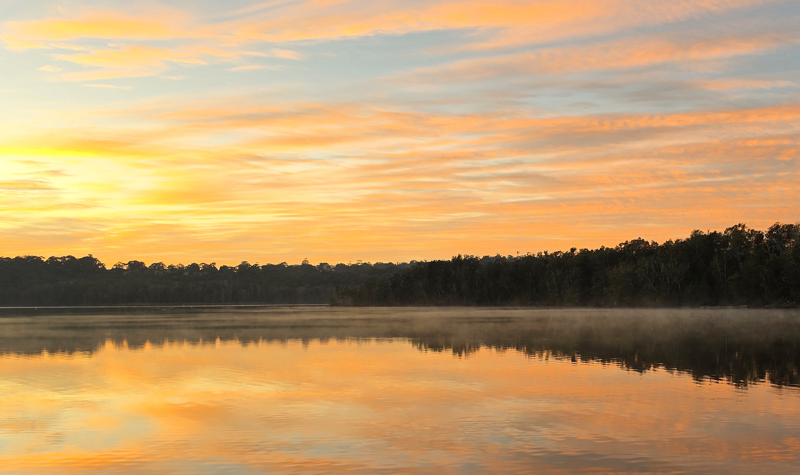
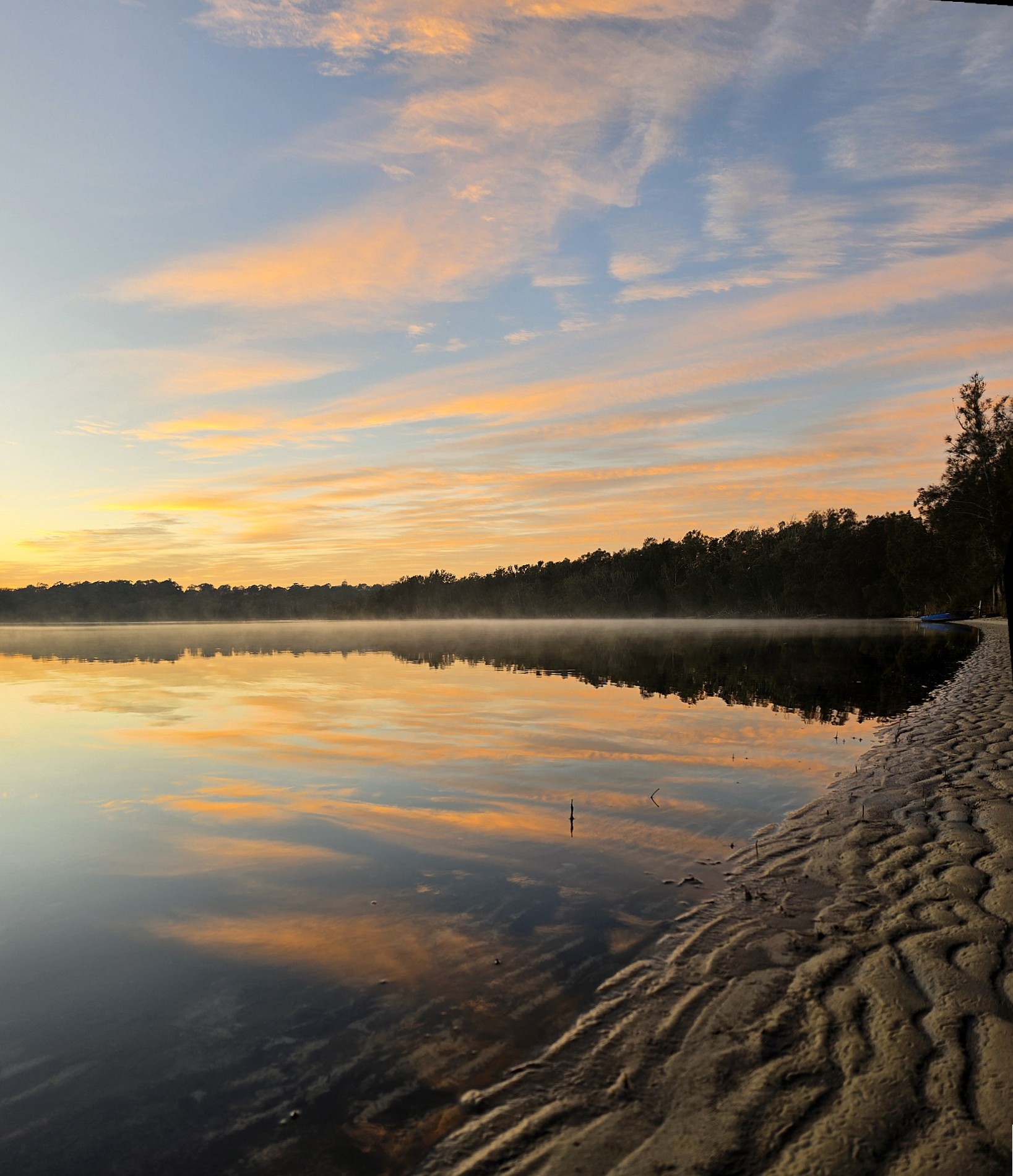
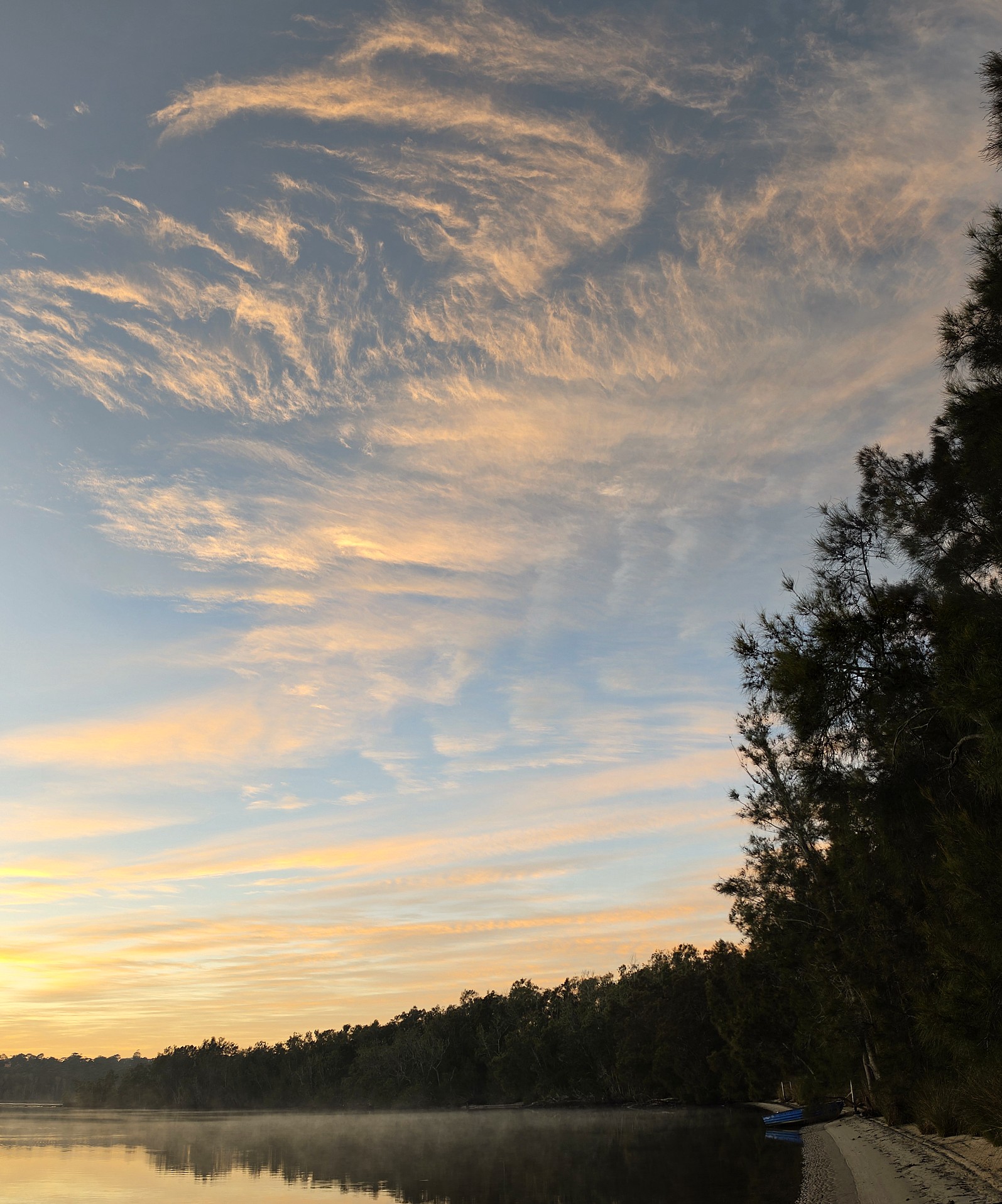
Middle Creel Reserve Sunrise Reflected