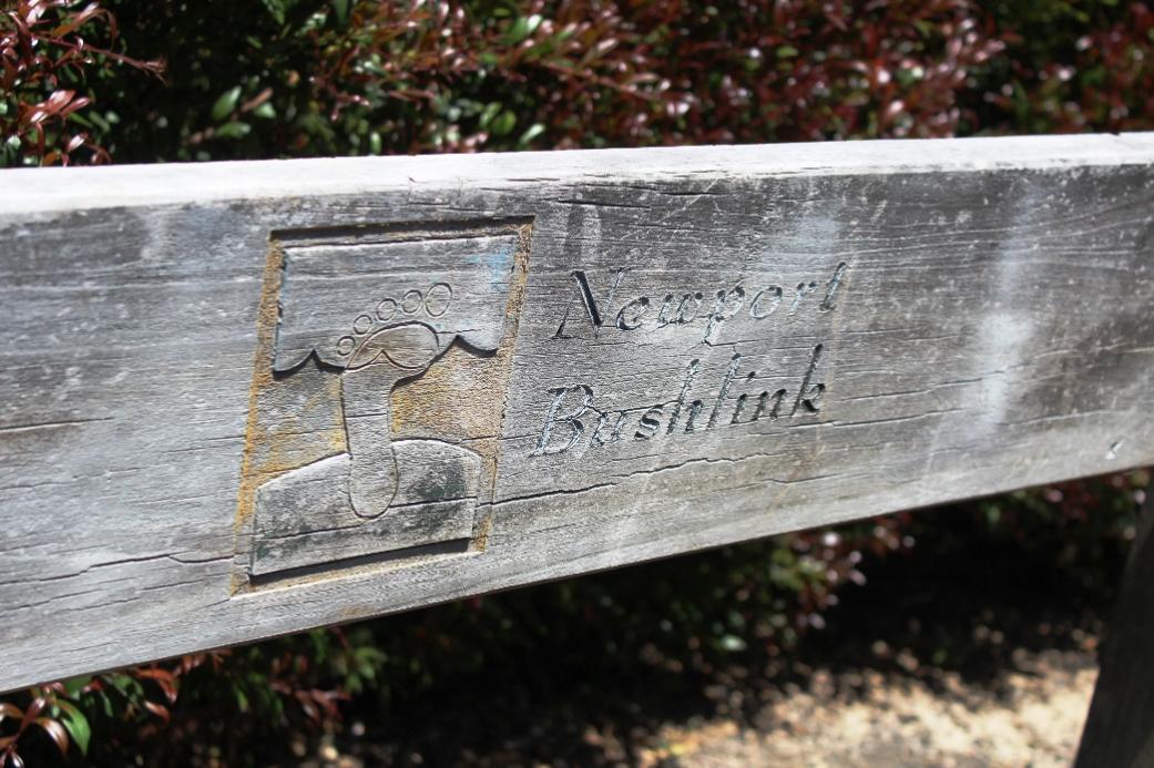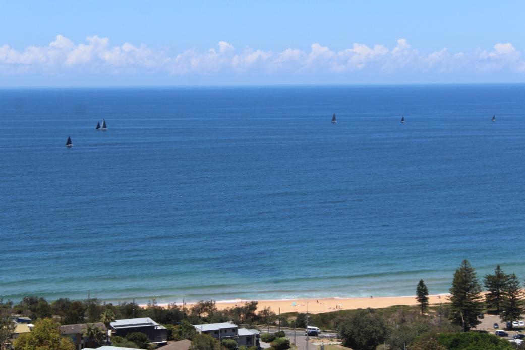
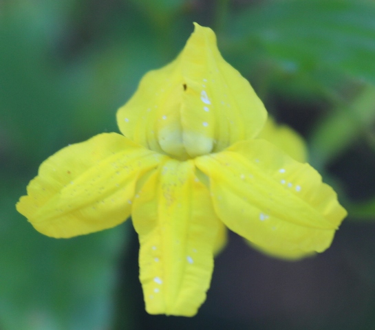
In November 2017 a 20 Years Celebratory page about the wonderful pathways and tracks that lead from Newport to Bilgola was run in this News Service. This week, while doing some research for an upcoming History page a 'missing part' was found. As Readers have stated they have been enjoying all the Spring Strolls shared by photographers Kevin Murray, Joe Mills and Selena Griffith et al, especially those who have expressed some of these walks could not be undertaken by them and so it has been wonderful to see these places and go on these walks via the images taken, the Newport Bushlink is one worth taking another look at.
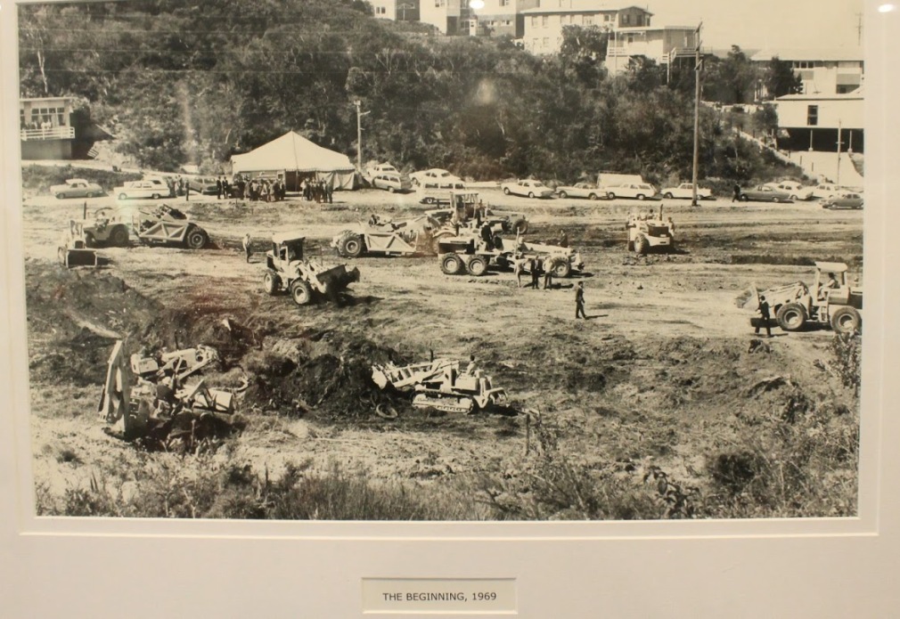
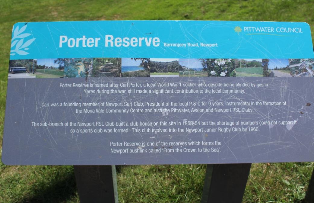
Porters' Reserve was one of those places in Pittwater originally used as a tip and then converted by the stalwarts of the Newport rugby Club, the Broken Breakers, into the centre of community it is today. The bush reserves around it, the two quarries, one that was at Newport and run by council and the other at Bilgola can be read about in Pittwater Reserves: The Green Ways Bilgola Beach - The Cabbage Tree Gardens and Camping Grounds, Pittwater Roads II - Where the Streets Have Your Name - Bilgola and Pittwater Roads II: Where the Streets Have Your Name - Newport Beach - but when did the tip officially commence and the bush around Porters' get set aside as a place for public recreation and wildlife? According to the NSW Government Gazette - 1956.
The publication of this by the then Warringah Shire Council in the Gazette was accompanied by drawings which showed not only the area set aside but also had notations about earlier parcels of land set aside to be kept as green space - something the first half century of that council did over and over and over, requiring developers to set aside lots for parks and thoroughfares between parks as part of early subdivisions and buying parcels of land to provide access and reserves alongside beaches when land was relatively cheap, even during the 1930's straitened financial times, and supporting the planting of trees during the 1940's and 1950s when the Tree League became a part of what was discussed in Sydney and acted on in the wake of urbanisation spreads.
That Gazette listing:
Sydney, 26th October, 1956.
RESERVES FROM SALE AND LEASE GENERALLY.
IT is hereby notified that, in pursuance of the provisions of sections 28 and 29 of the Crown Lands Consolidation Act, 1913, the Crown lands hereunder described shall be temporarily reserved from sale for the public purpose hereinafter specified and temporarily reserved and exempted from lease generally, and they are hereby reserved and exempted accordingly.
ROGER NOTT, Minister for Lands.
FOR PUBLIC RECREATION.
Land District—Metropolitan; Shire—Warringah.
No. 79,011 from sale (79,012 from lease generally). Parish Narrabeen, county Cumberland, about 24 acres 1 rood, shown by black hatching on diagram hereunder. P. 56-4,825.
.jpg?timestamp=1604751254078)
FOR RUBBISH DEPOT.
Land District—Metropolitan ; Shire—Warringah.
No. 79,009 from sale (79,010 from lease generally). Parish Narrabeen, county Cumberland, about 1 acre 2 roods 30 perches, shown by black hatching on diagram hereunder. P. 56-4,825.
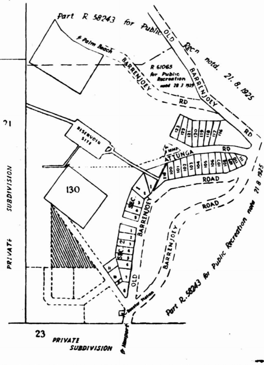
RESERVES FROM SALE AND LEASE GENERALLY. (1956, October 26). Government Gazette of the State of New South Wales (Sydney, NSW : 1901 - 2001), p. 3156. Retrieved from http://nla.gov.au/nla.news-article220346864
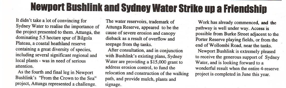
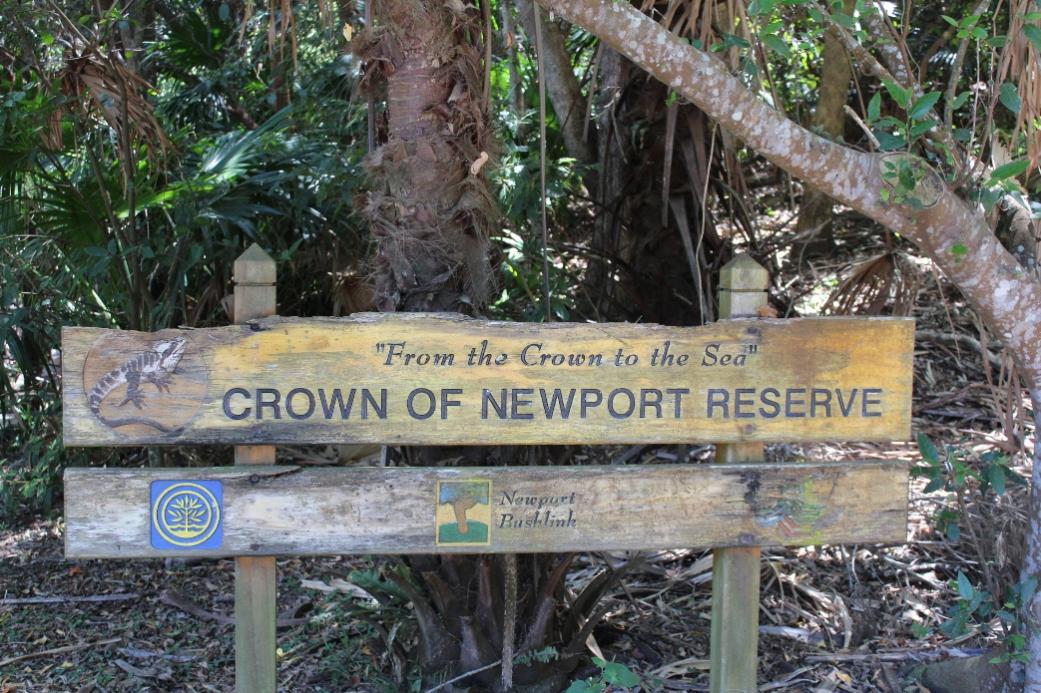
In November 1997 members of the Pittwater Natural Heritage Association and the community as the Newport Bushlink Group won their first grant and continued restoring and regenerating four reserves that then created a lovely green lit path through the suburb, appropriately called ‘From the Crown to the Sea’. This project commenced in 1994, through Newport residents Elisabeth Capel, Cheryl Bate, Bill Hudson and Ken Adie.
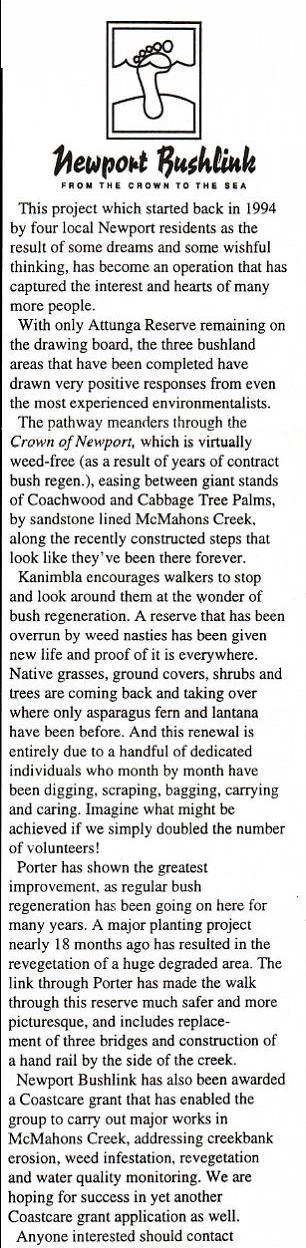
Both items from Pittwater Natural Heritage Association (PNHA) Newsletter No: 13 - November 1997
From Pittwater Natural Heritage Association (PNHA) Newsletter No: 14
From Pittwater Natural Heritage Association (PNHA) Newsletter No: 16, 1998

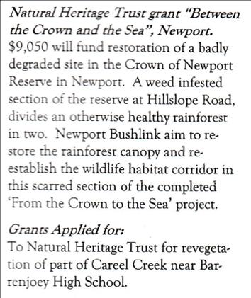
This article refers to is the small area between Attunga Rd and Barrenjoey Rd which did receive a small grant just to regenerate that area.
From Pittwater Natural Heritage Association (PNHA) Newsletter No: 17, March 1999
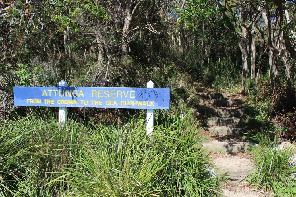
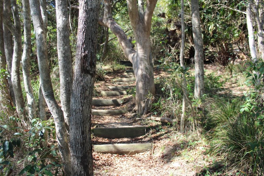
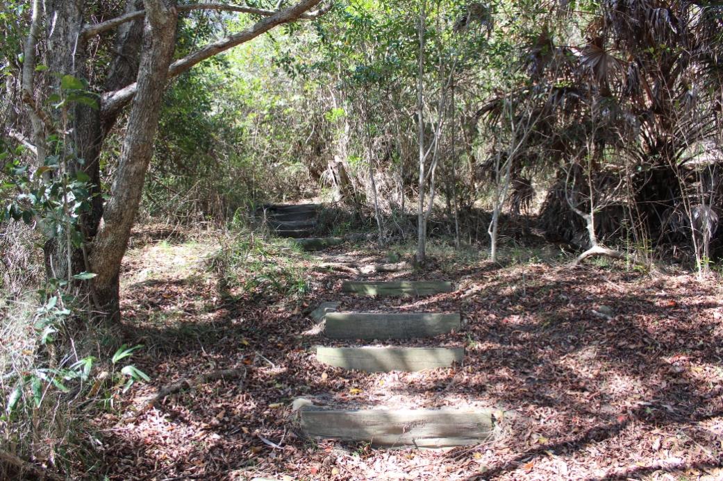
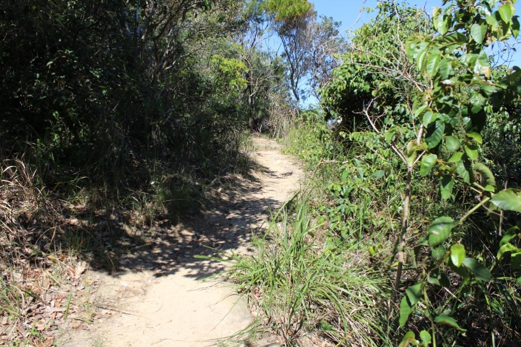
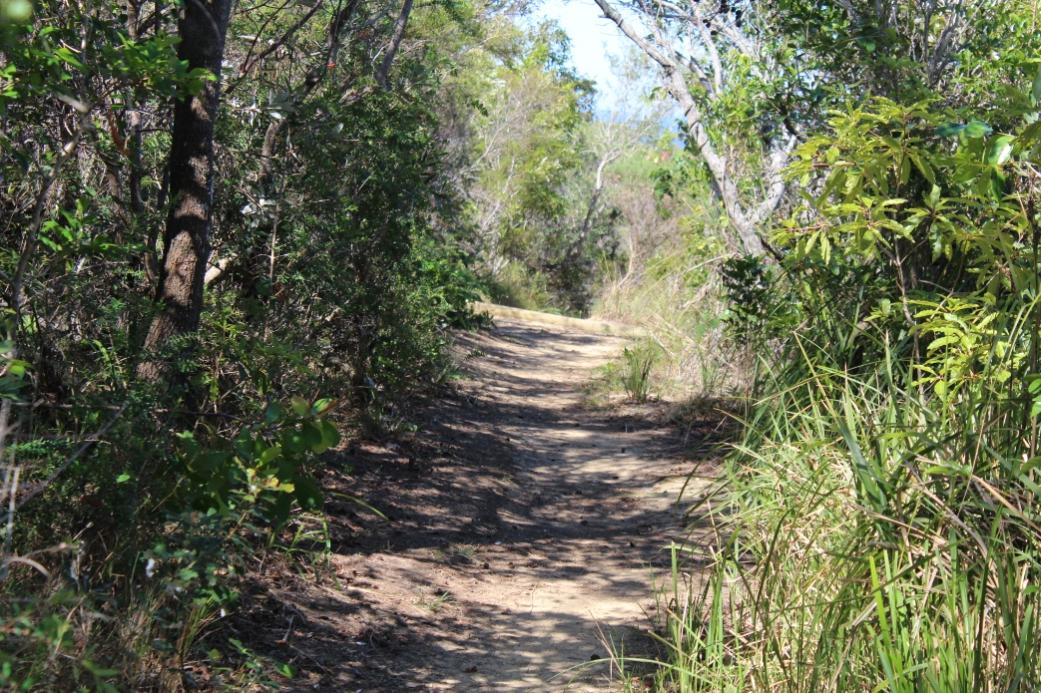
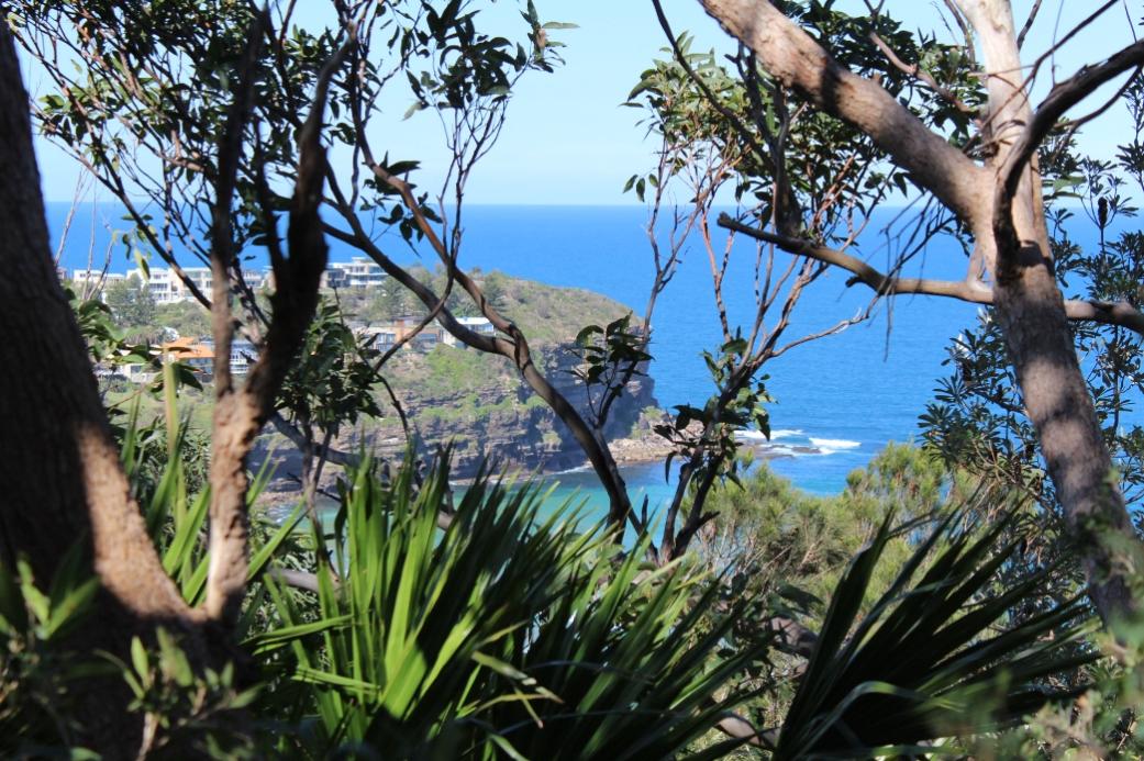
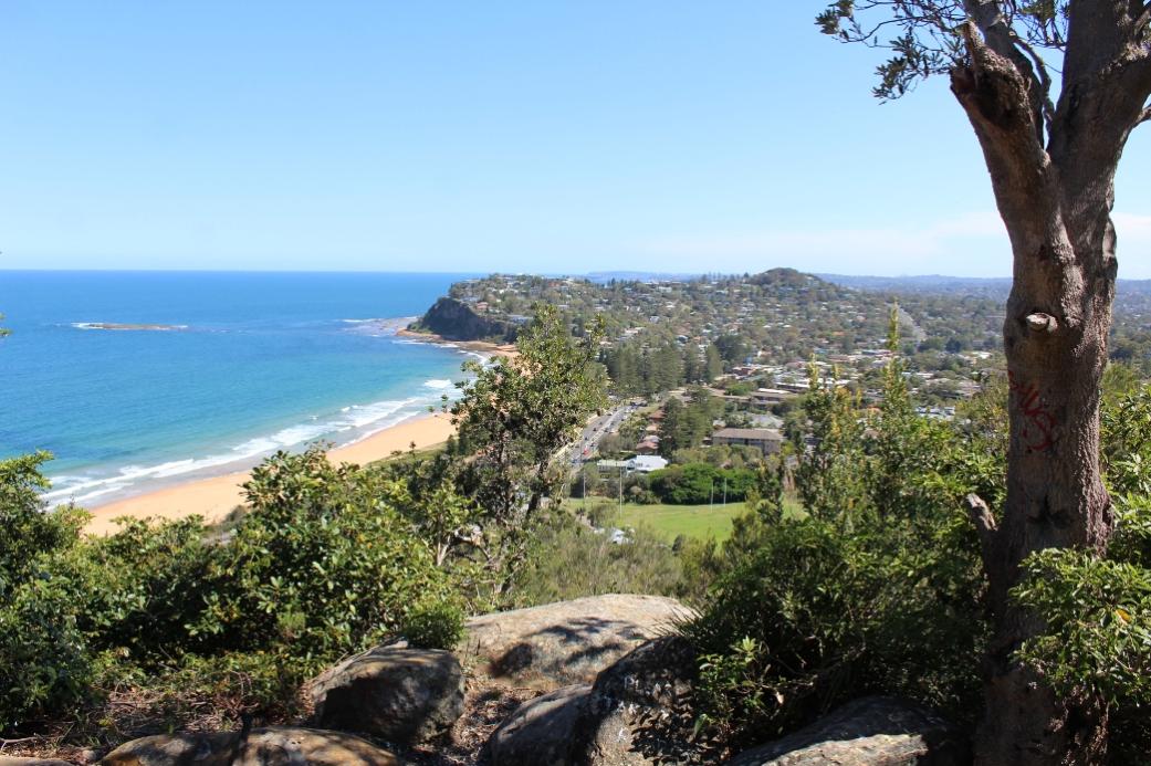
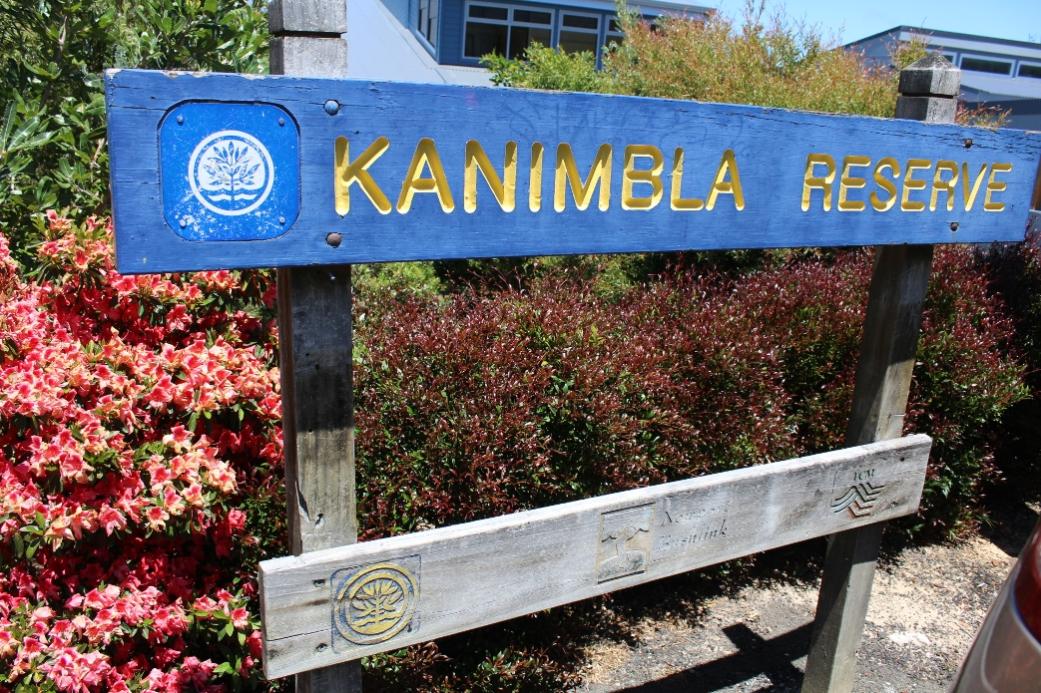
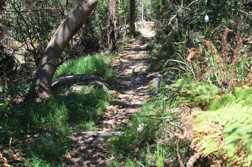
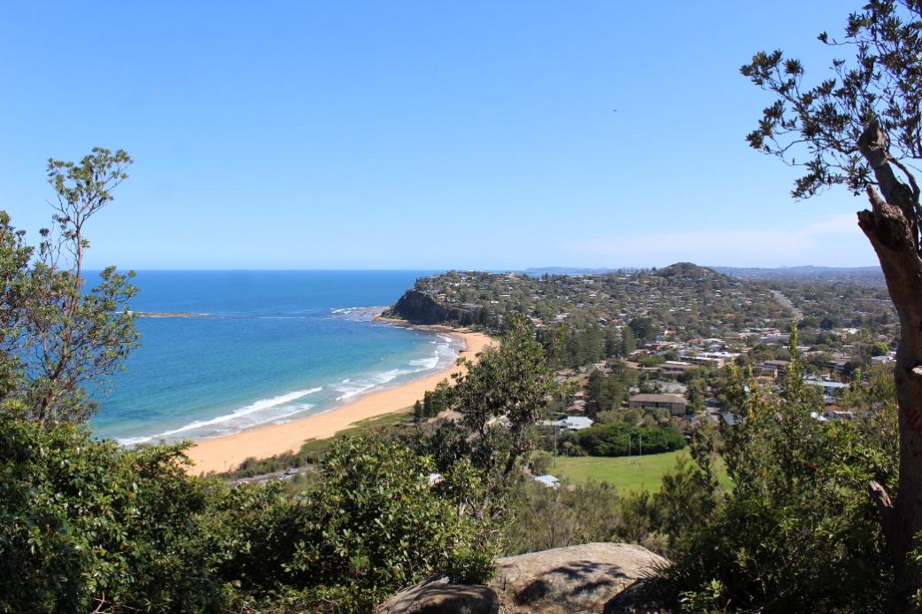
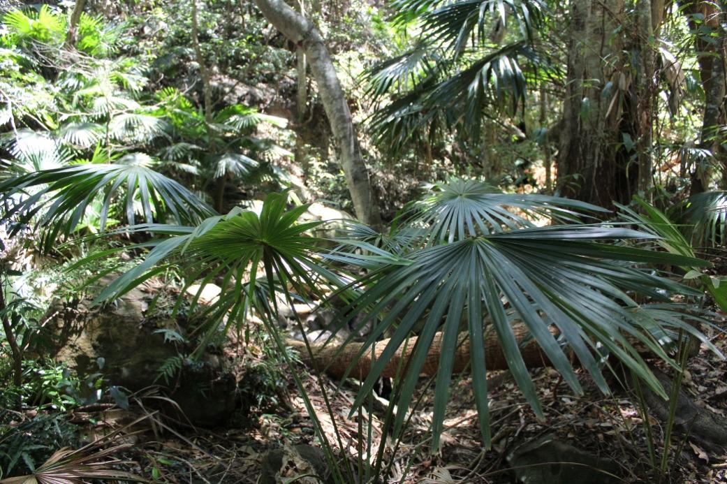
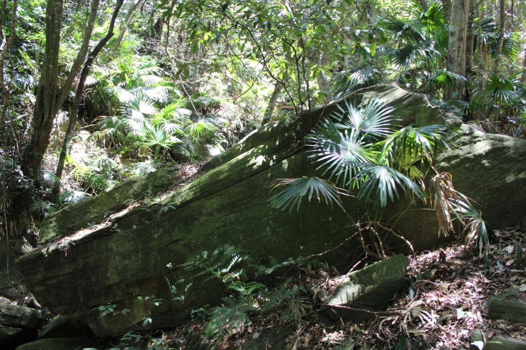
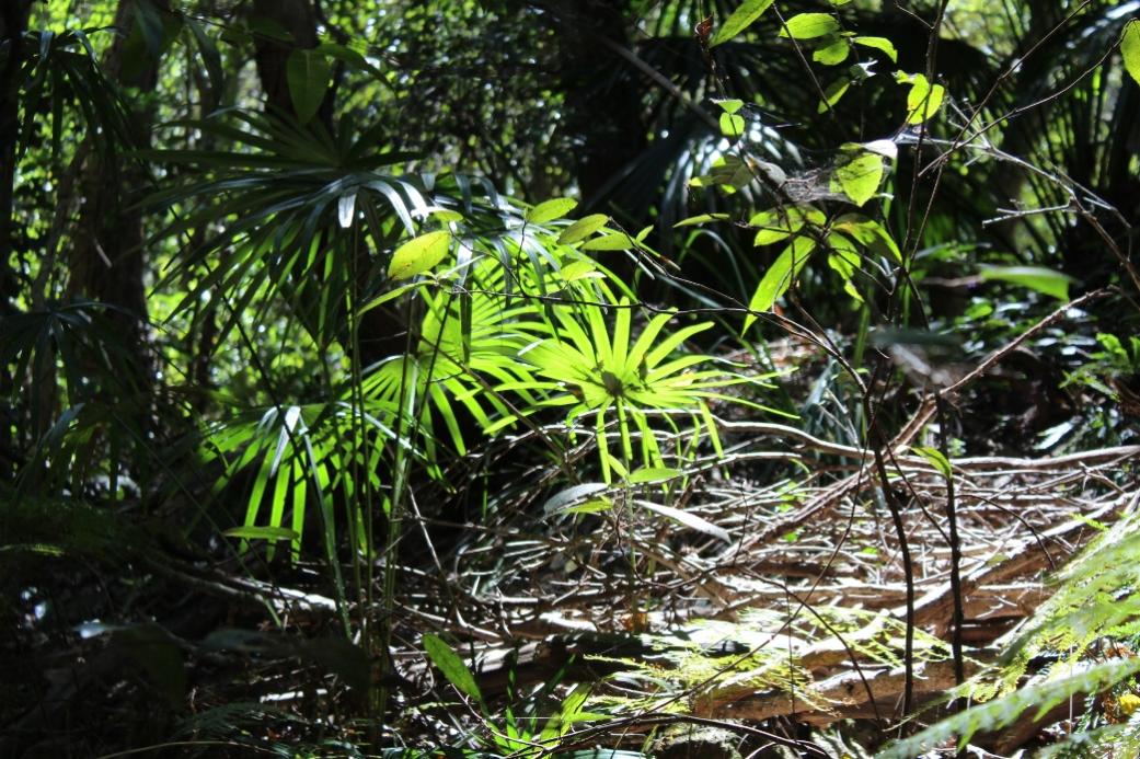
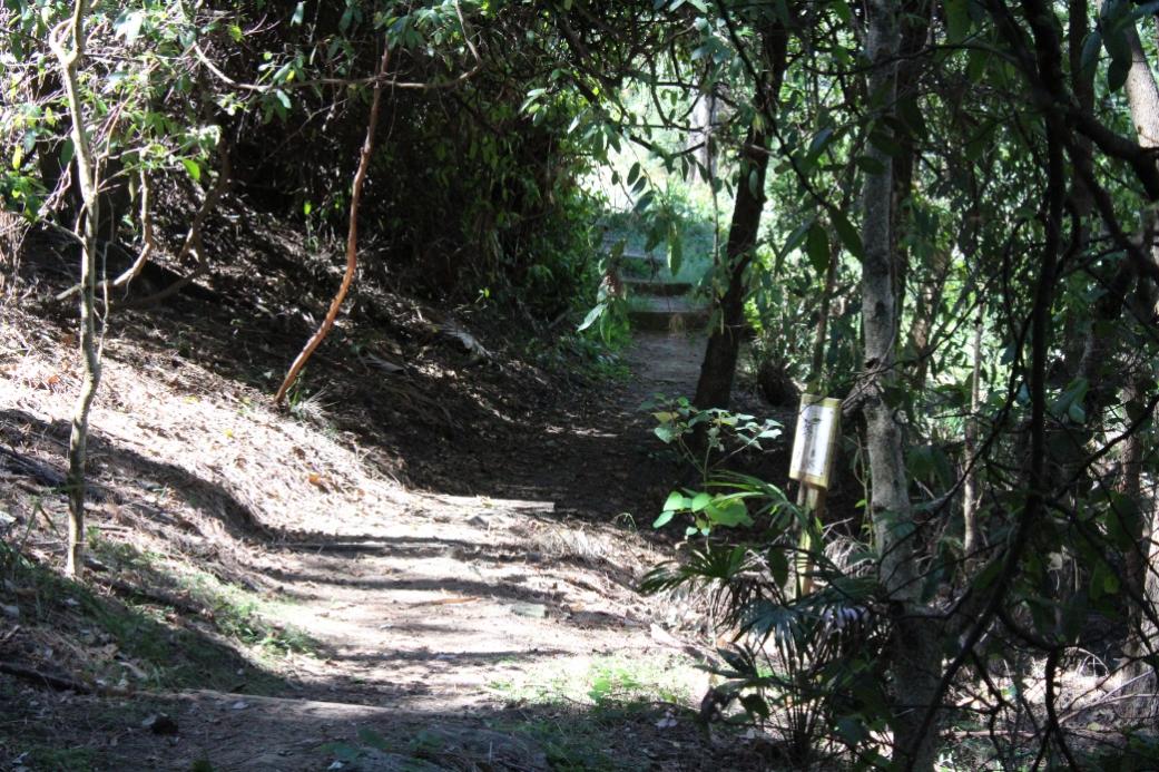
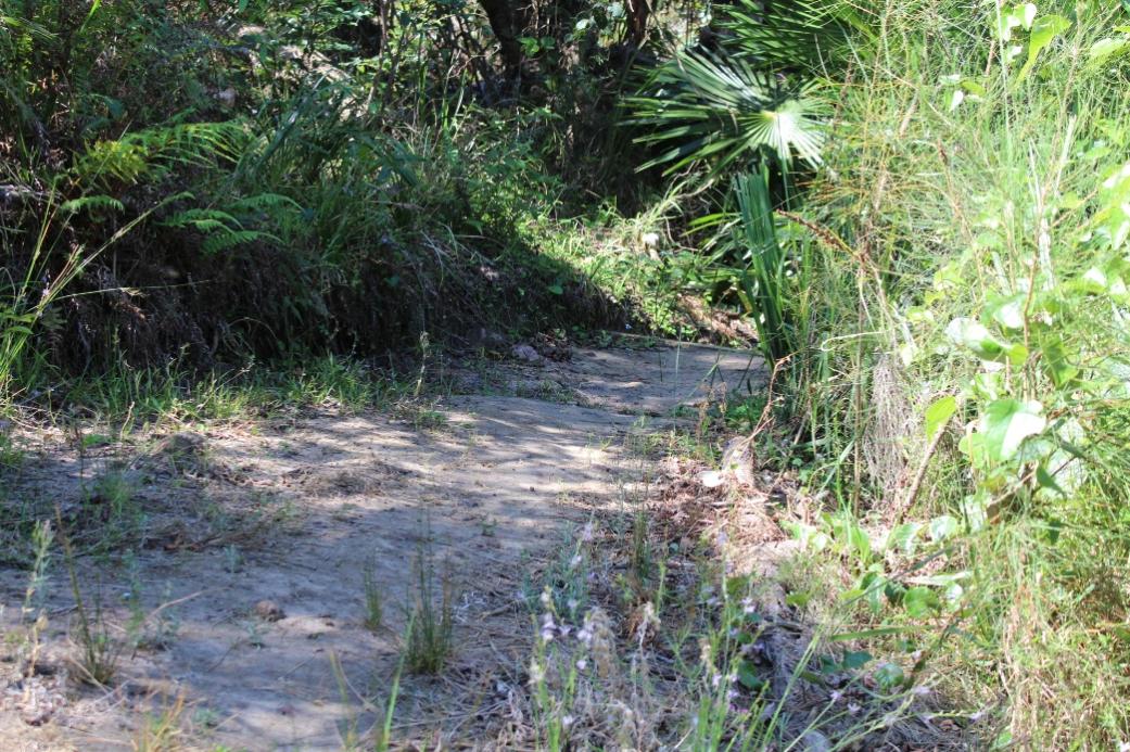
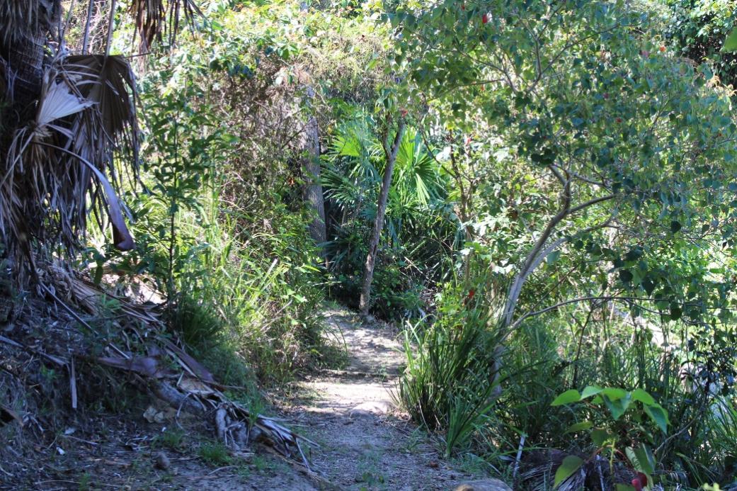
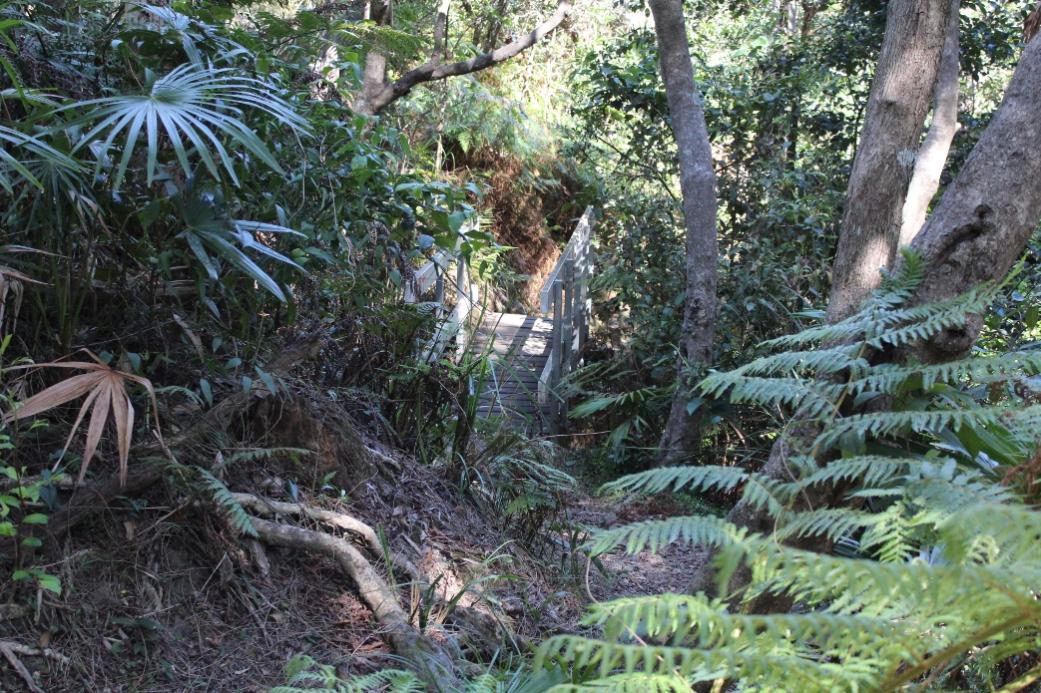
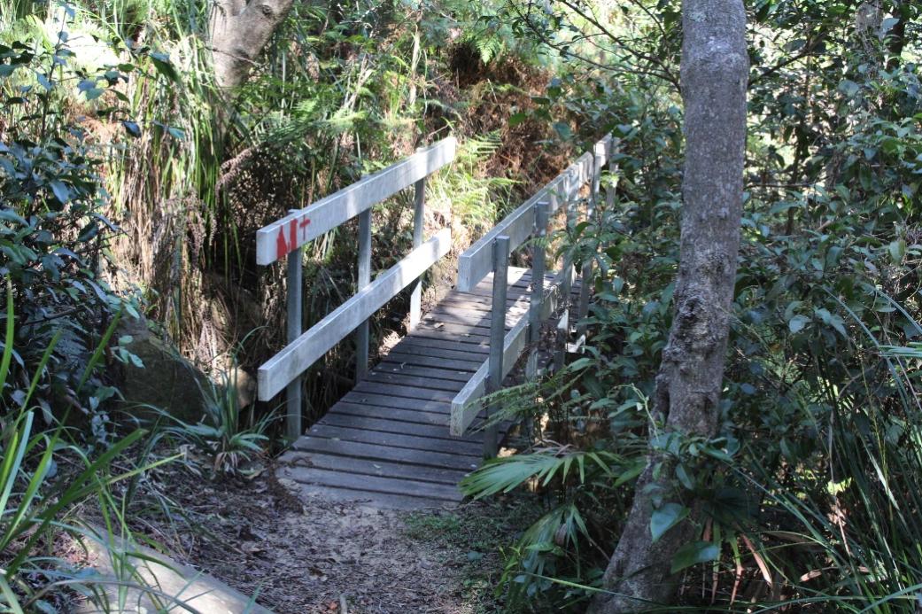
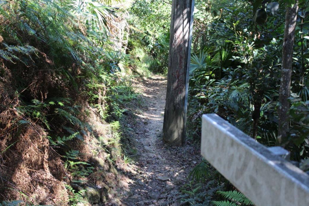
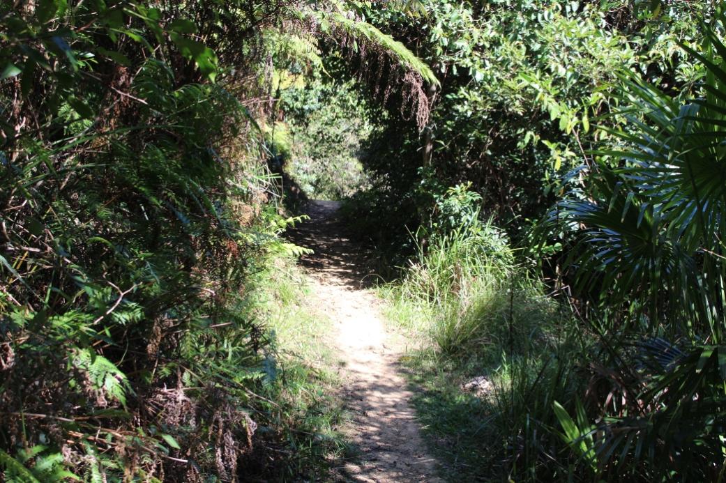
The pathways wend through the Crown of Newport Reserve, Porter’s Reserve, Attunga Reserve and the Kanimbla Reserve.
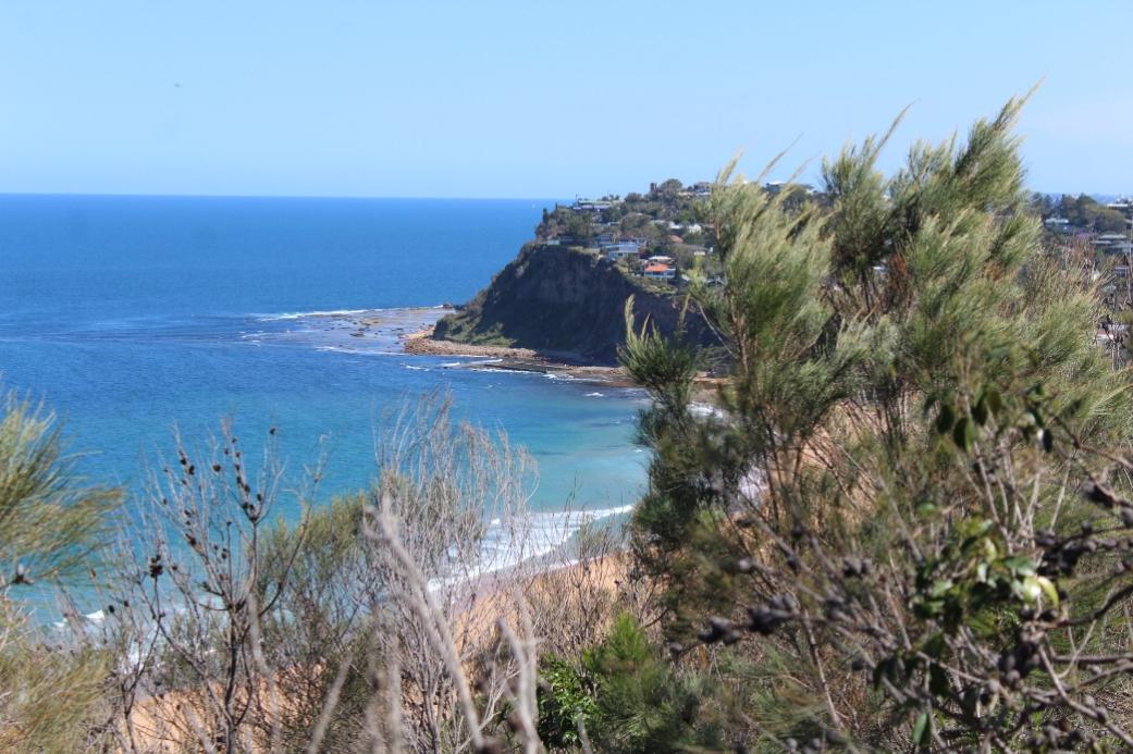
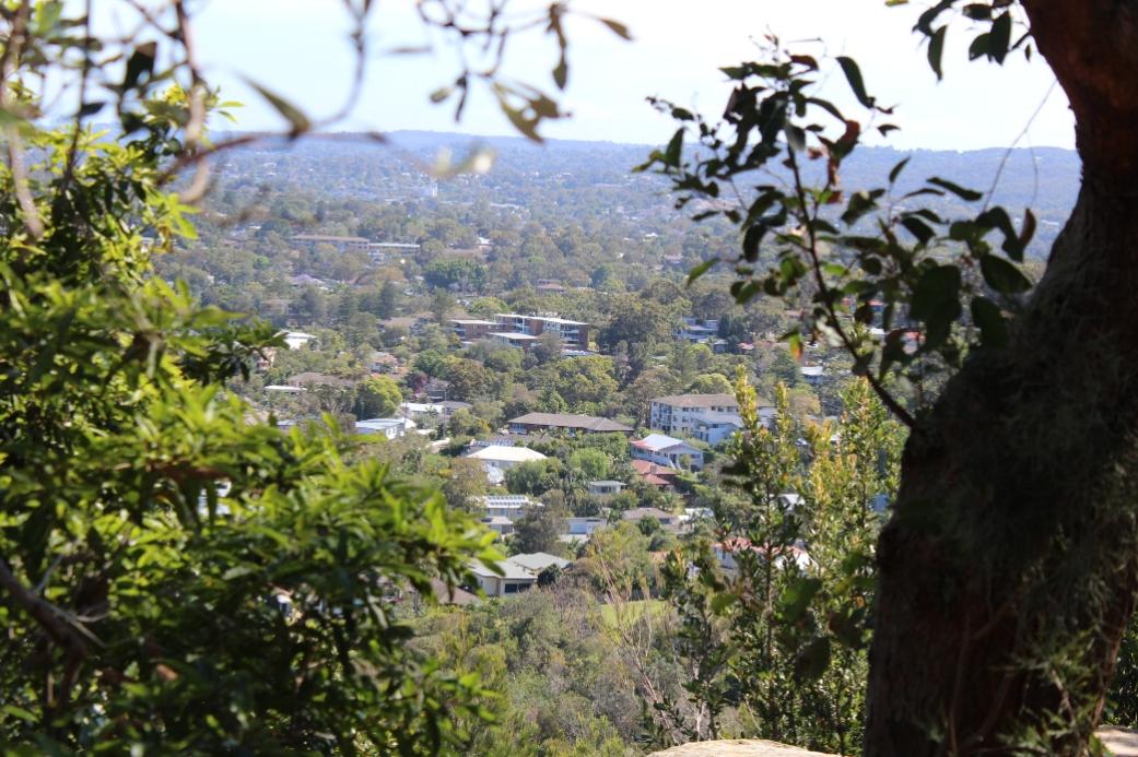
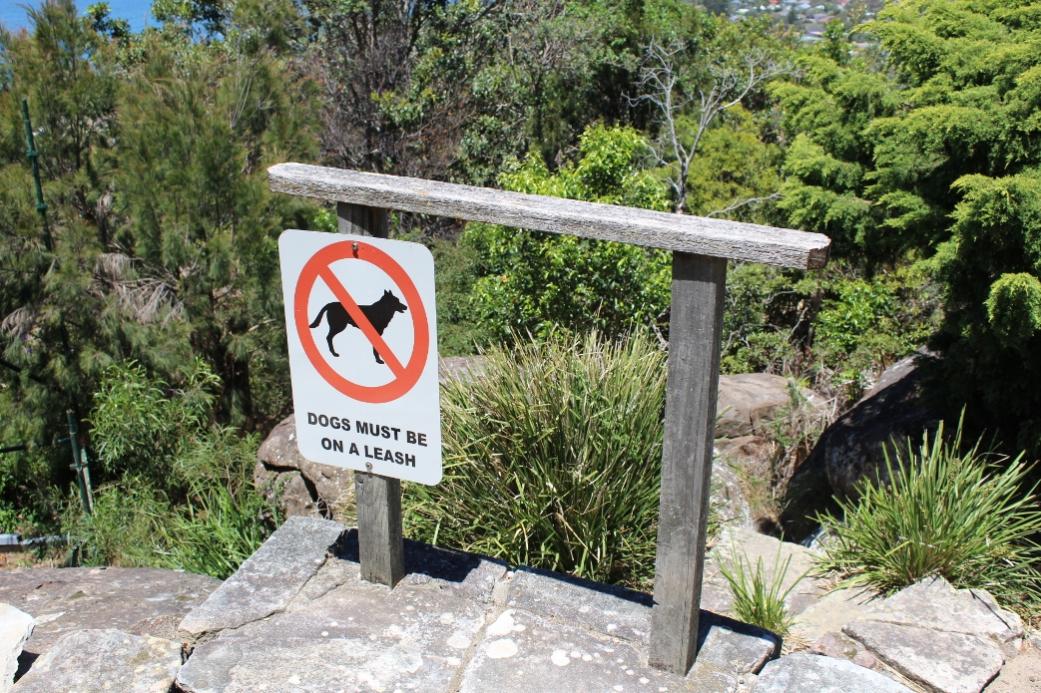
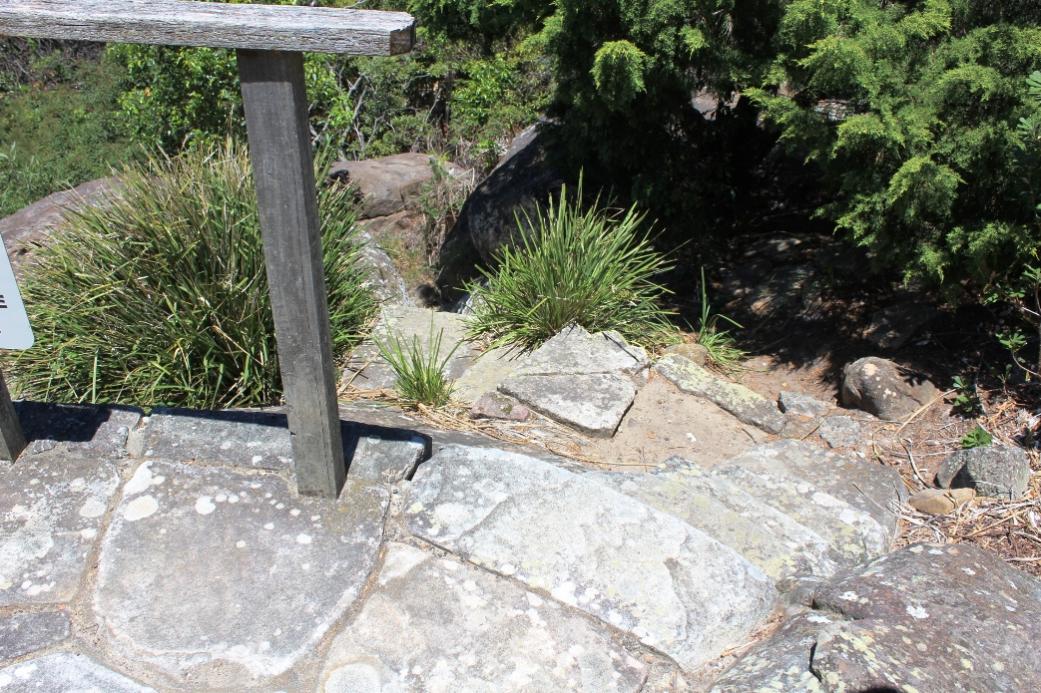
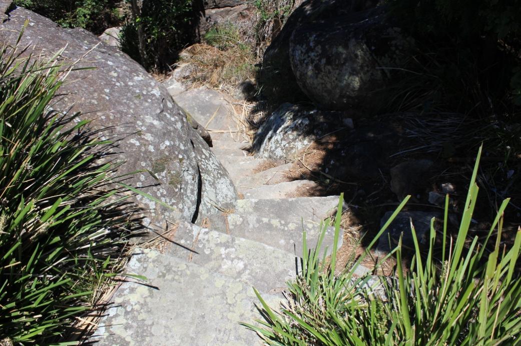
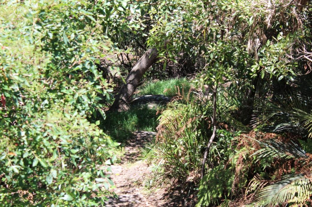
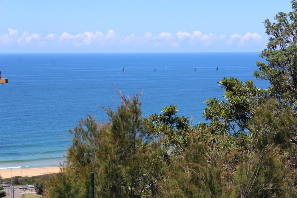
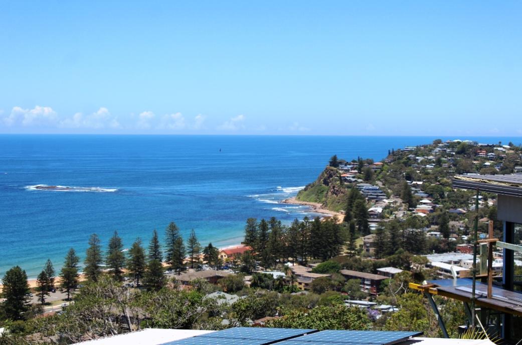
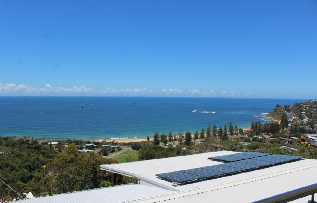
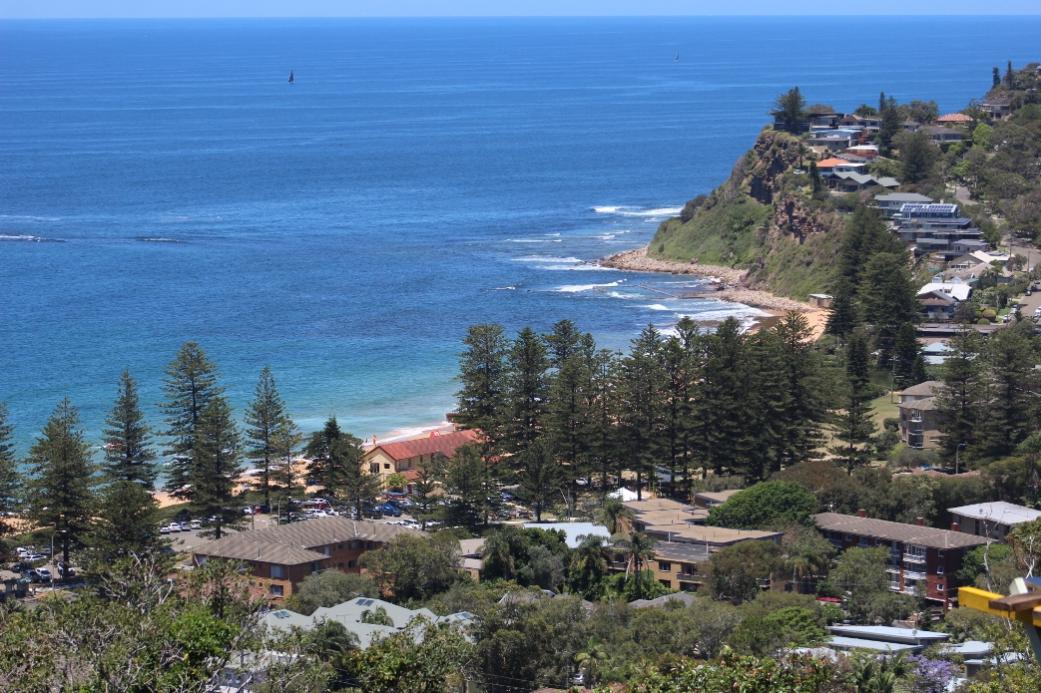
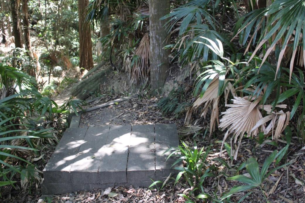
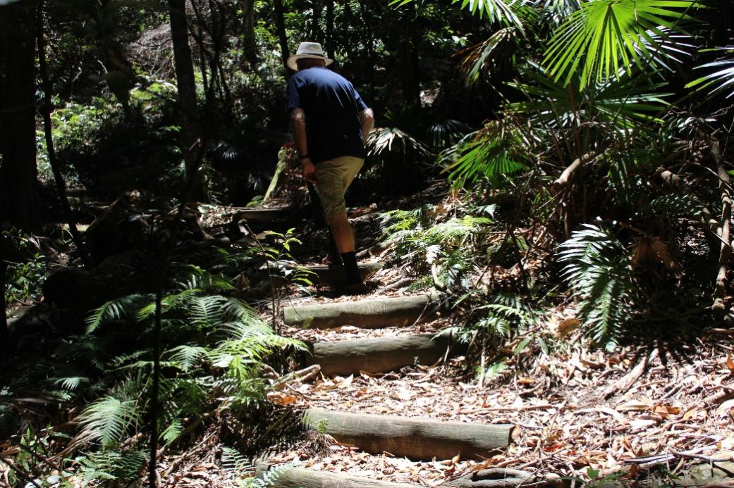
This week's Pictorial shares these wonderful wending paths creating connections for local fauna and continues our determination to tread those tracks and share images with our readers who may not be able to sprint up an almost vertical 1000m path just to catch the view and the air up there.
Thank you to all those who were involved at the outset of creating the Newport Bushlinks 'From The Crown to the Sea' paths and all those who persisted and continued until restoration was achieved - your work lives on and may be experienced by all as an ever green respite.
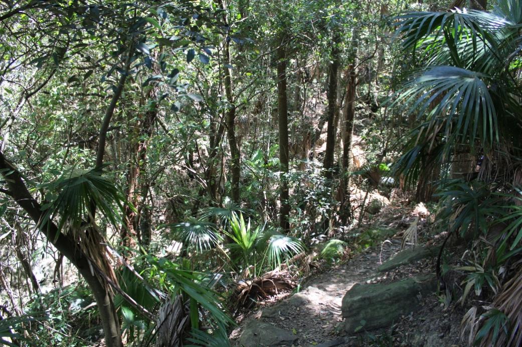
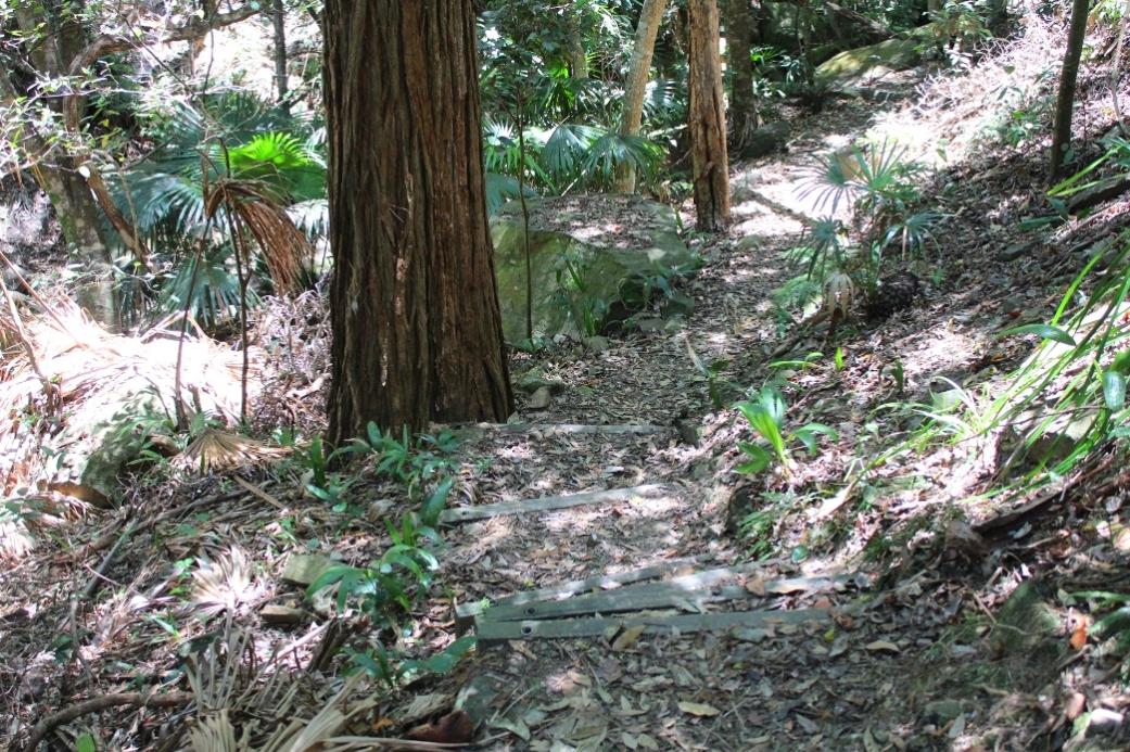
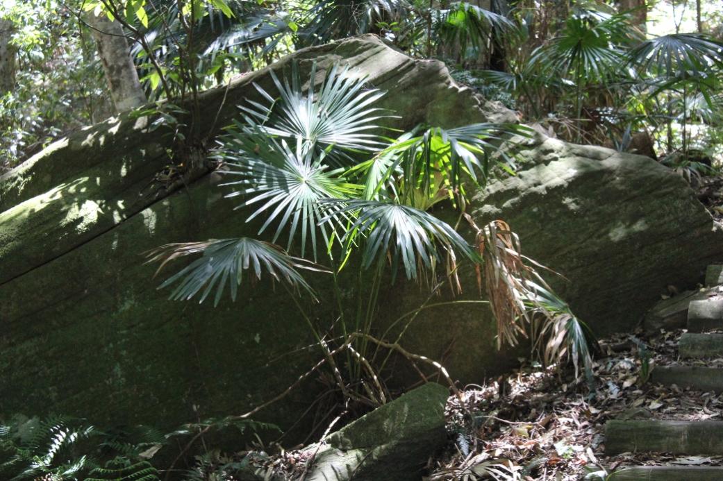
Crown Of Newport Reserve
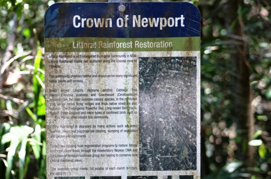
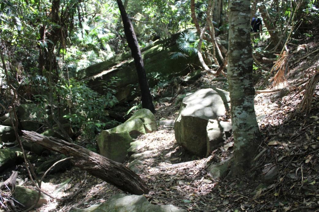
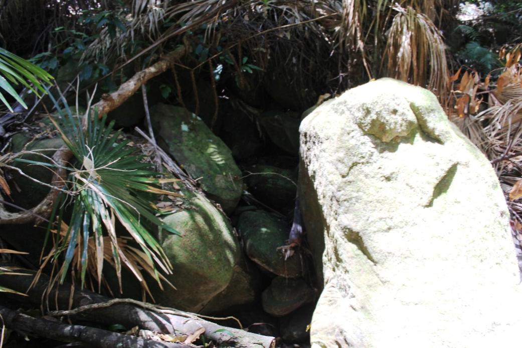
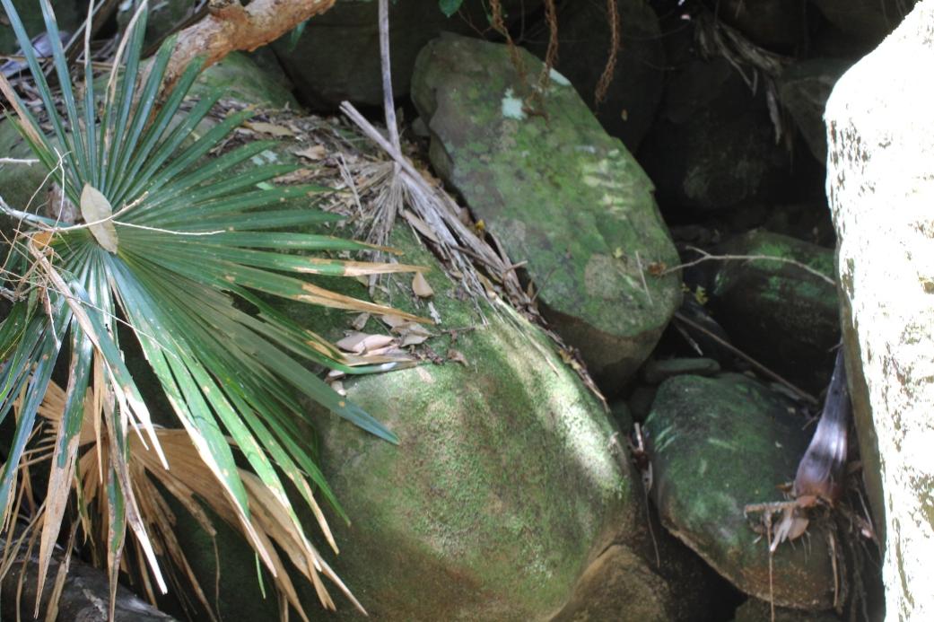
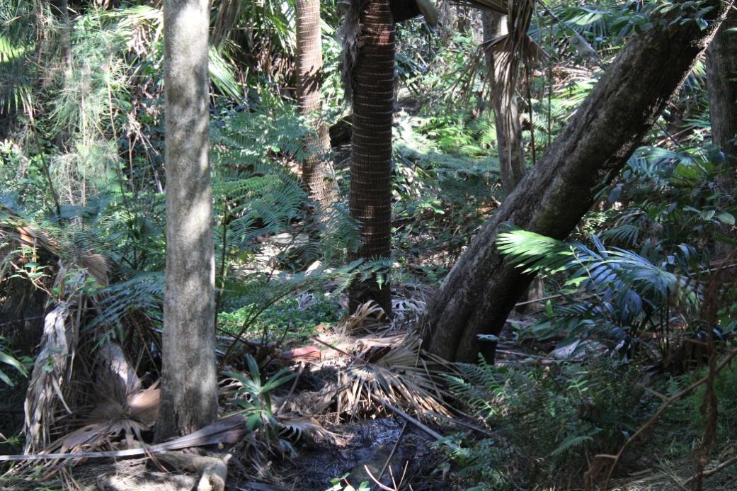
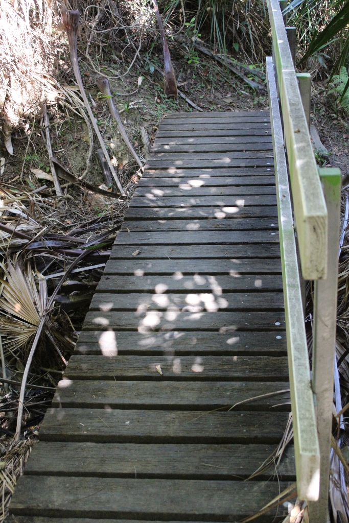
The Crown of Newport Reserve is located between Newport and Bilgola Plateau. The Reserve covers 4.12 hectares and is bound on each side by residential properties.
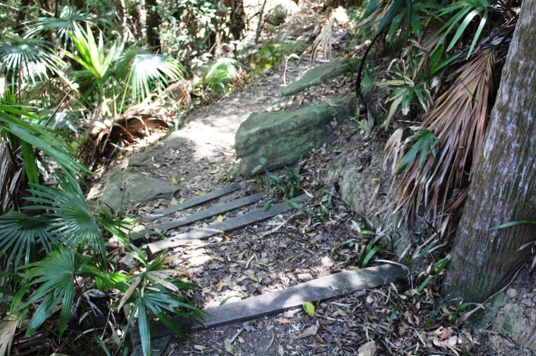
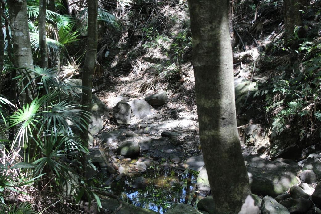
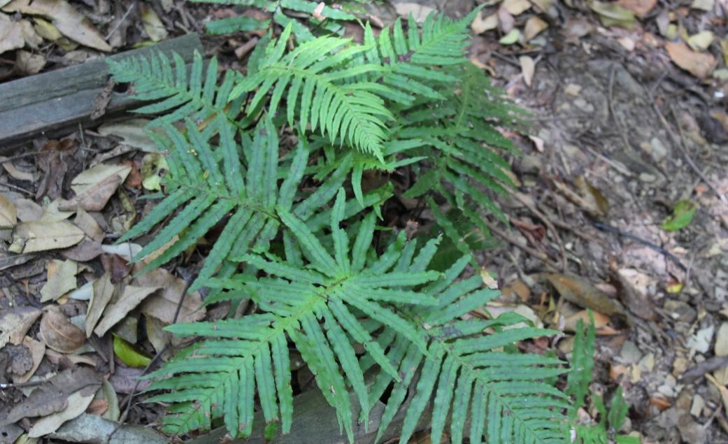
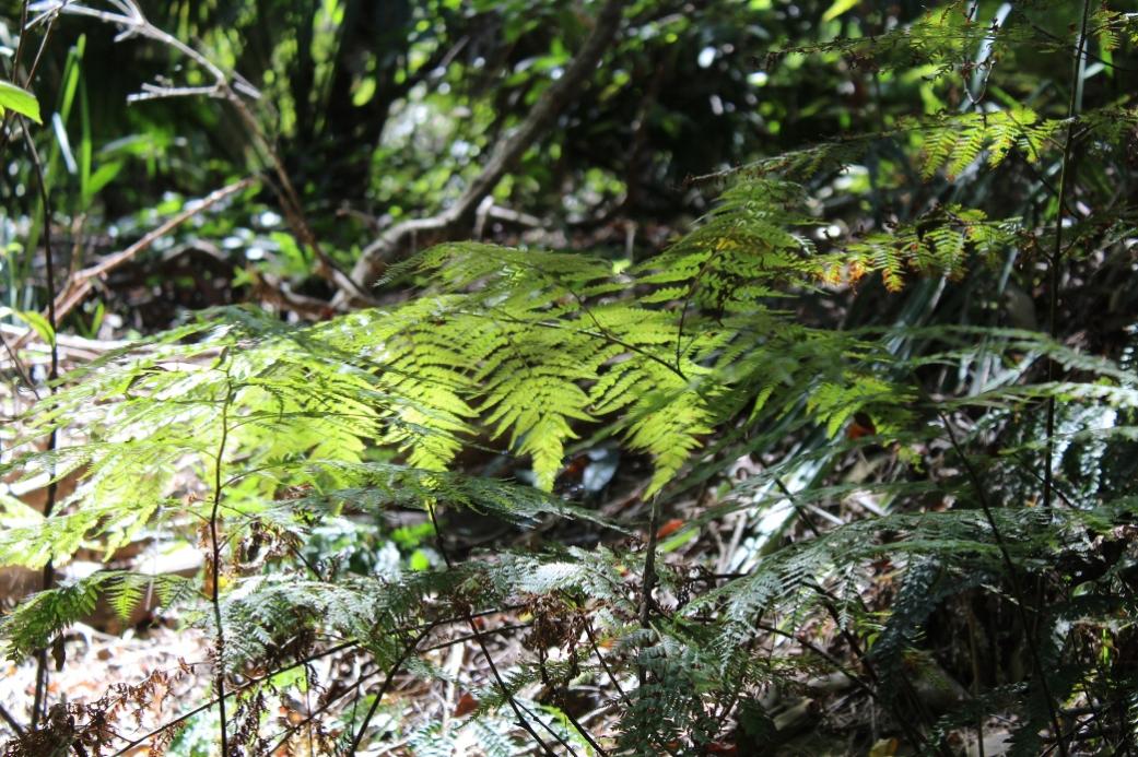
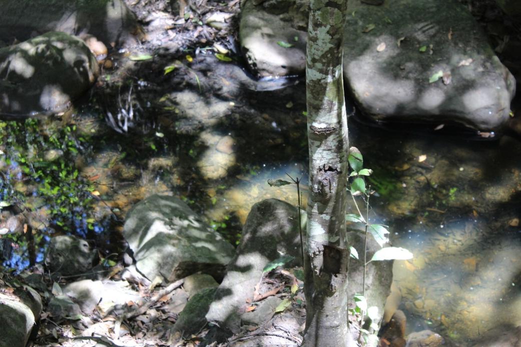
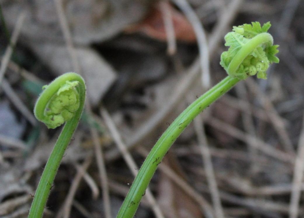
The creek that runs down the length of the reserve is the main source of fresh water for the ecosystem which comprises of four main vegetation types; Spotted Gum Forest, Newport Bangalay Woodland, Coachwood Closed-forest and Hawkesbury Sandstone Open-forest.
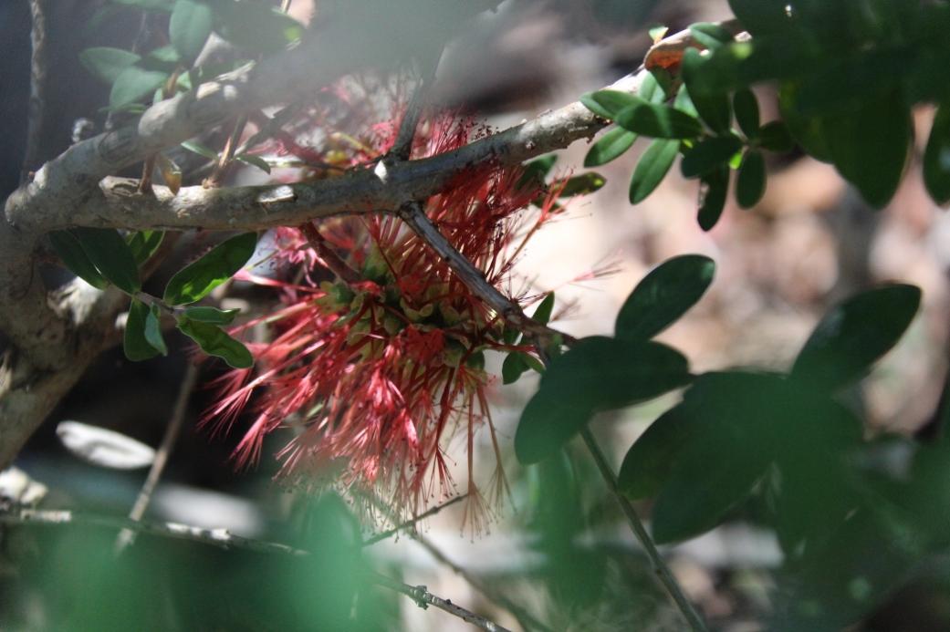
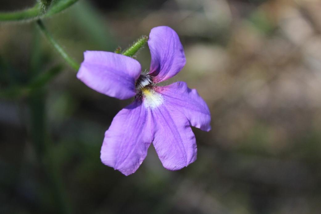
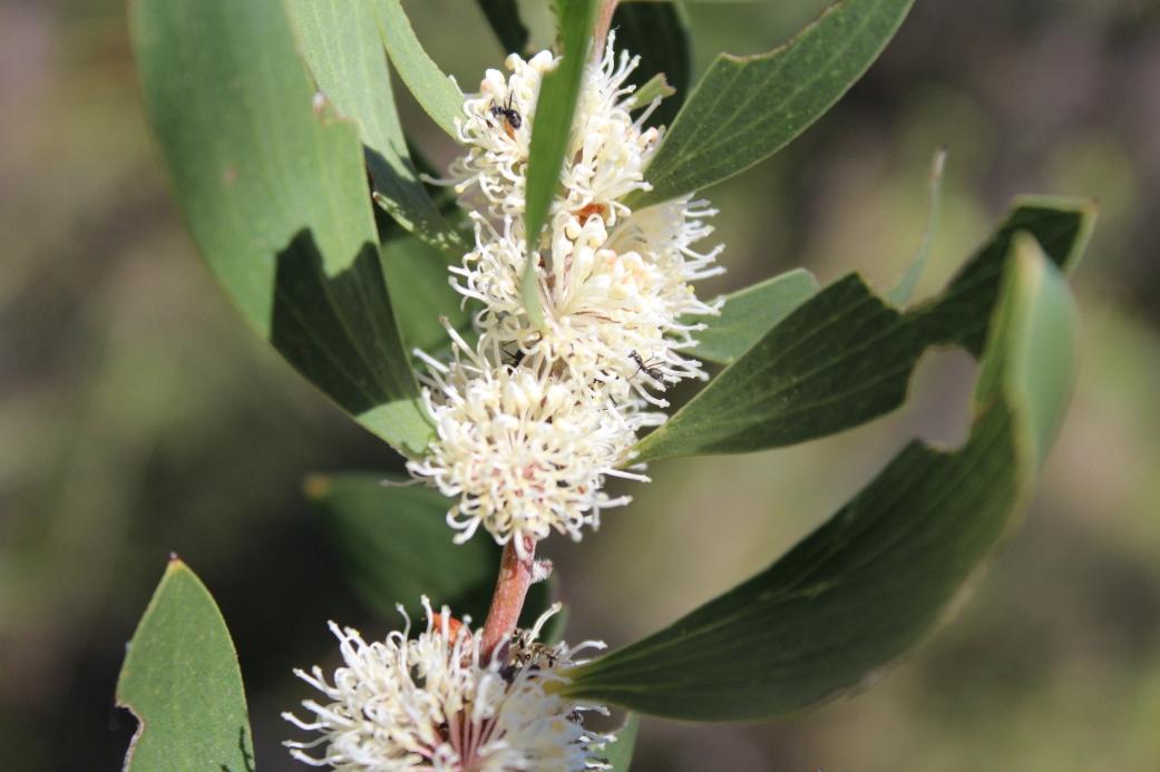
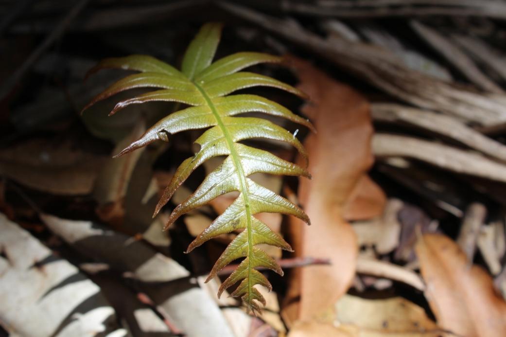
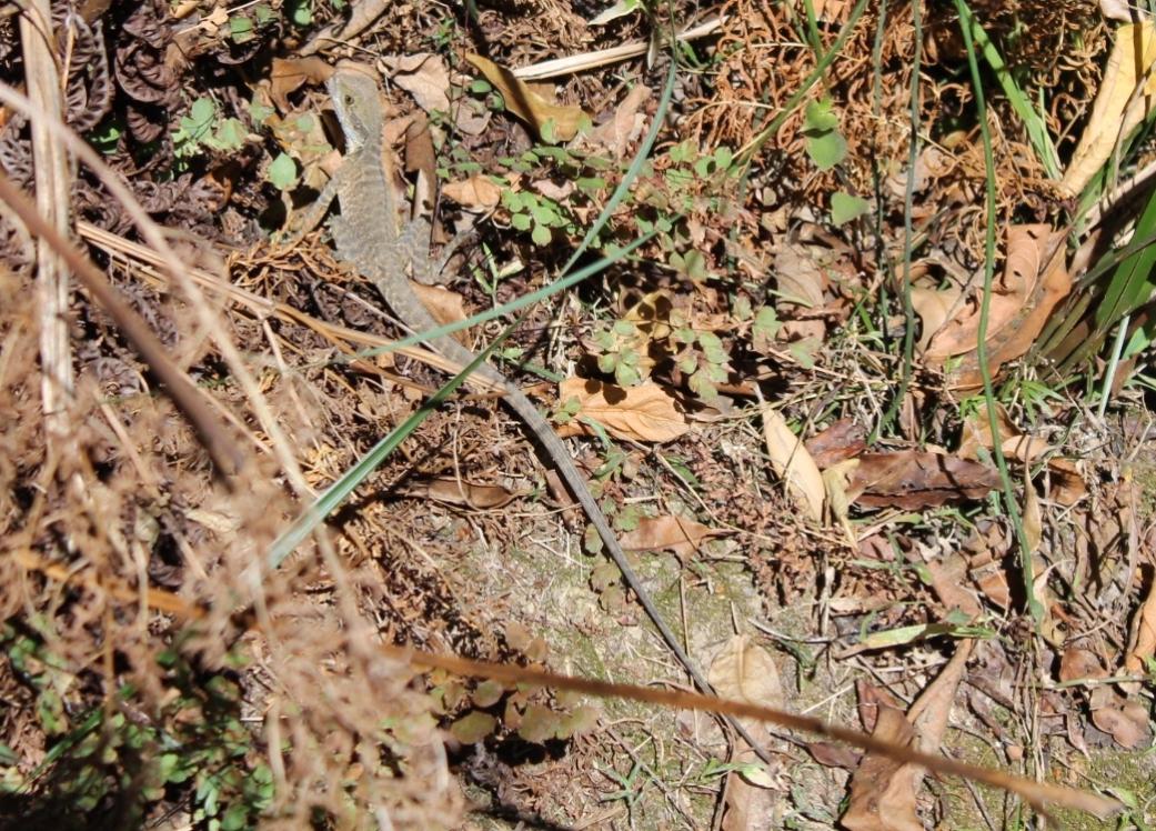
The creek features a waterfall and a steep rainforest gully. A range of fauna can be found within the reserve which includes species such as; White-browed Scrubwrens, Long-nosed Bandicoots. Red-bellied Black Snakes, Golden-crowned Snakes, Powerful Owls, Blue Tongue Lizards, Eastern Water Dragons and Freshwater Eels. The reserve also operates as an important corridor or wildlife refuge for faunal movement.
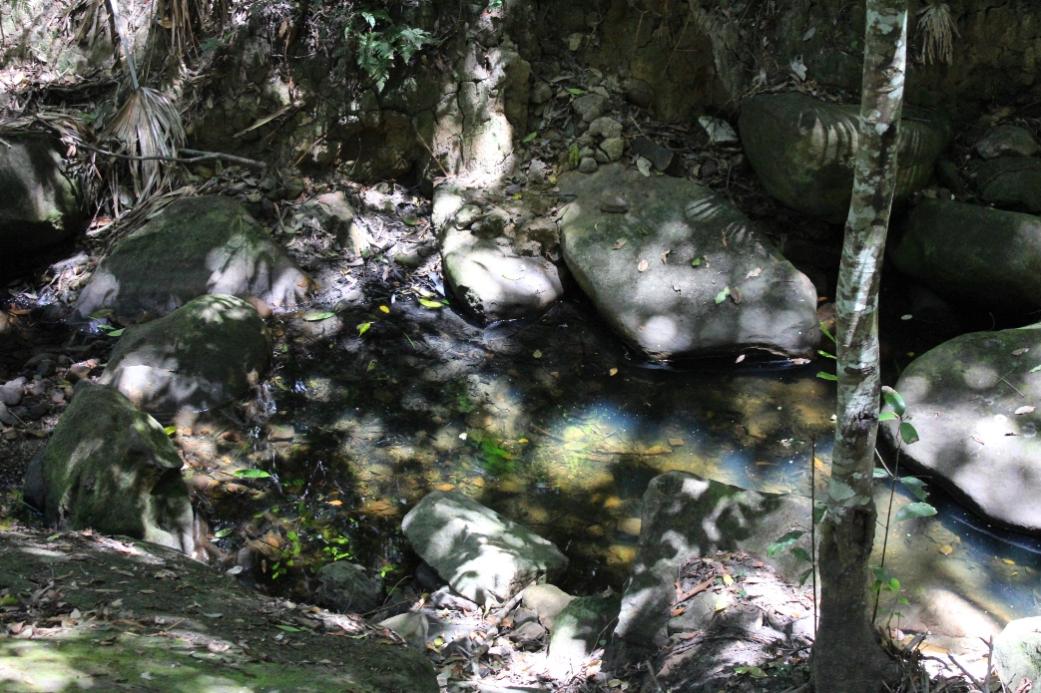
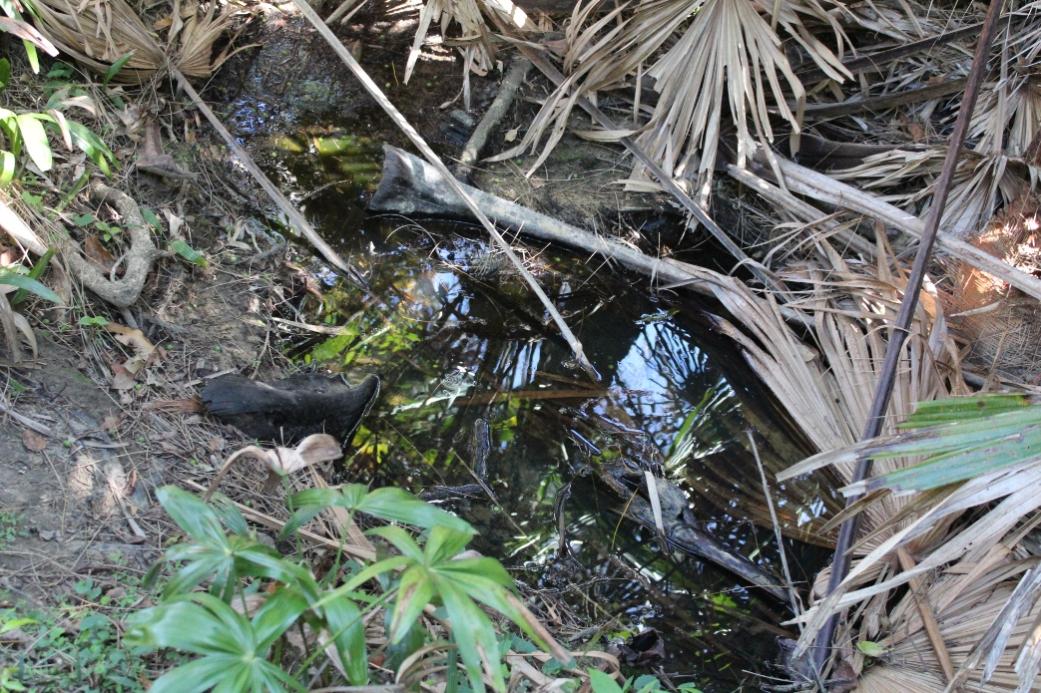
McMahons Creek
Situated in the Crown of Newport Reserve, McMahons Creek flows between Newport Beach and Bilgola Plateau. The creek is shallow and narrow, lined with rocks and boulders. Residential properties surround the main body of the Reserve containing the creek. Sections of the creek have had to be reconstructed with sandstone boulders, after collapsing due to residential development nearby.
Evidence suggests that prior to colonisation the reserve played a significant role for the indigenous people. Four axe grinding groove sites can be found along the steep ridges of the reserve. Currently bush tracks allow the public to be able to walk through the reserve to the creek and waterfall. Although the reserve is now protected previous development of the area has caused significant damage to the ecosystem. The creek now drains into pipe which travels under grass fields at the foot of the reserve. The reserves close proximity to residential properties as well as frequent use of the bush tracks by the public have lead to increased levels of waste entering the reserve which negatively impacts the ecosystem.
Currently Bushcare volunteer groups and the Pittwater Spotted Gum Forest Restoration project have been aiming to reduce this impact and restore the environment back to its original state.
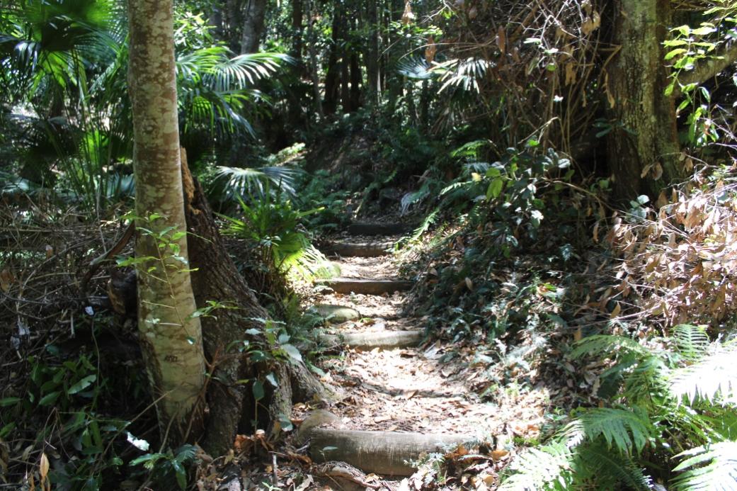
Access the main Reserve via the track from the end of Hillslope Road, Newport.
300m Moderate/Steep Climb

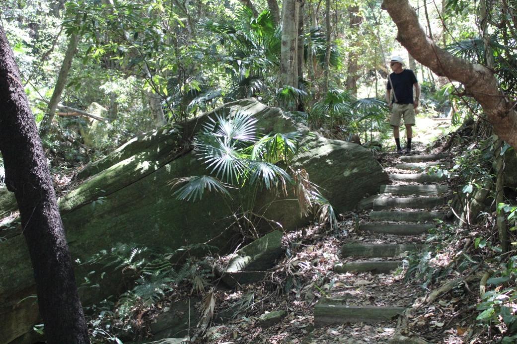
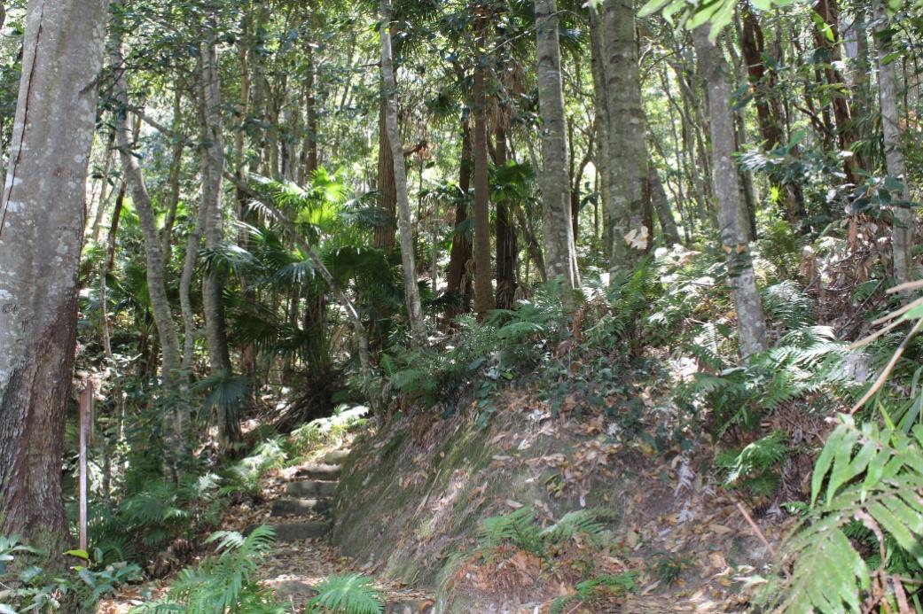
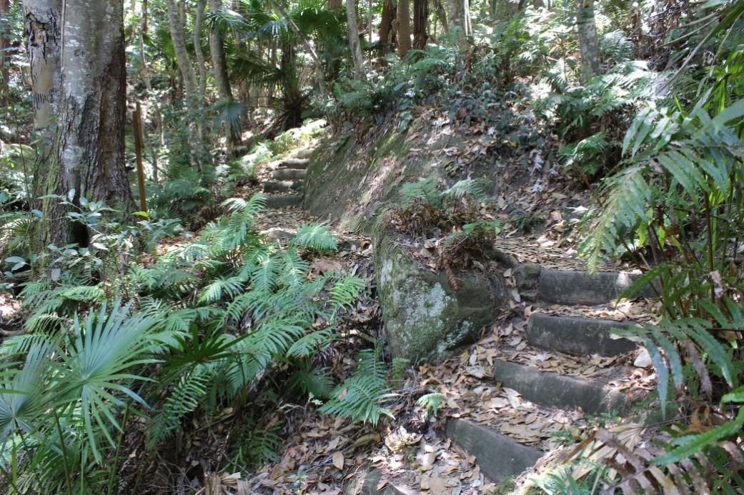
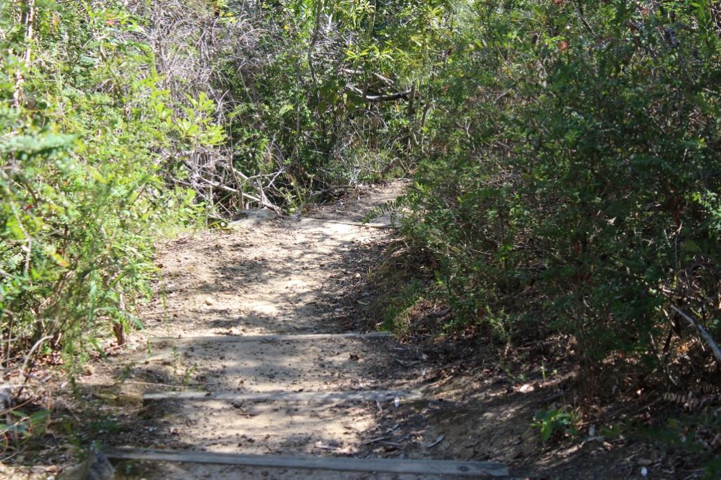
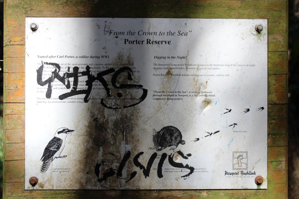
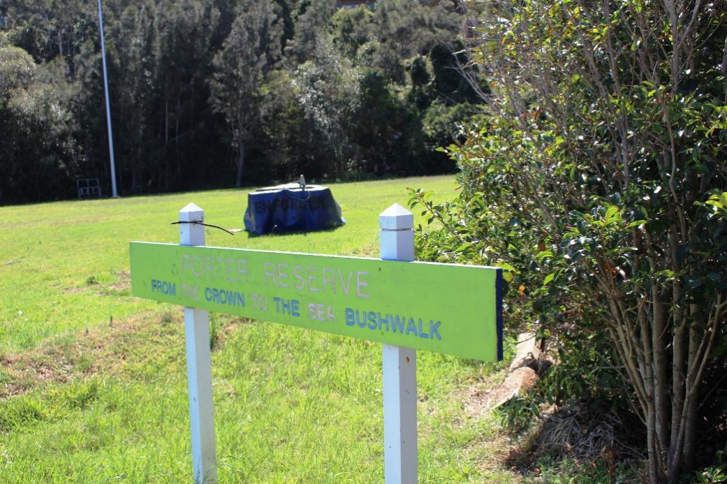
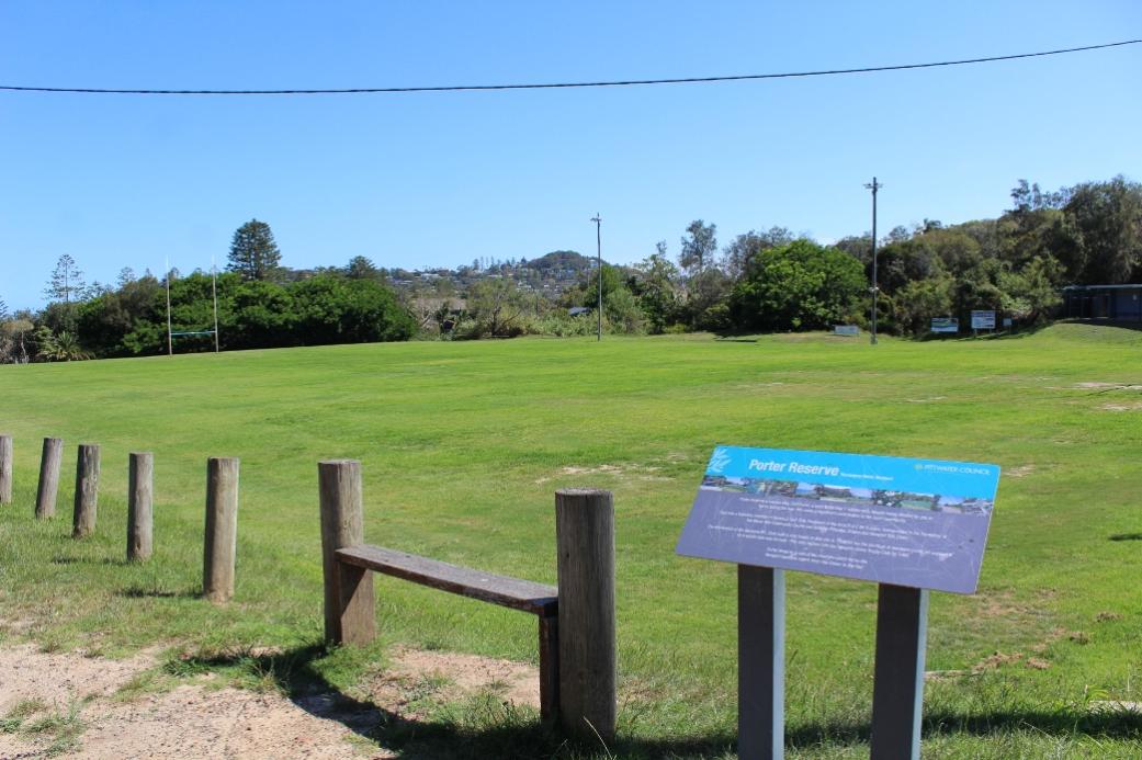
Porter’s Reserve
An easily accessible walk giving a glimpse of the Newport bushland experience. The Reserve has recently undergone extensive bush regeneration after its early history of cattle grazing. Once a cow paddock and a garbage tip, now a wonderful example of Mother Nature in combination with the inexhaustible efforts of local bush regeneration volunteers bringing life back to Porter. Named for Carl Porter of the Porter Family. Visit:
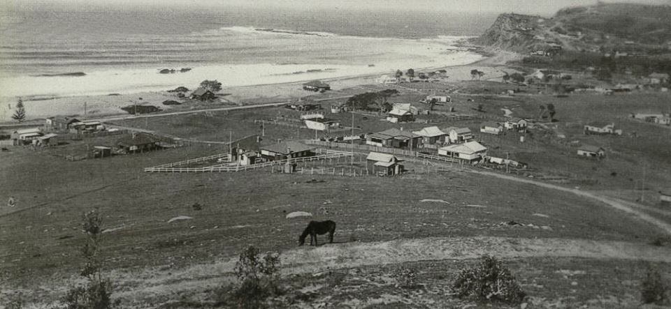
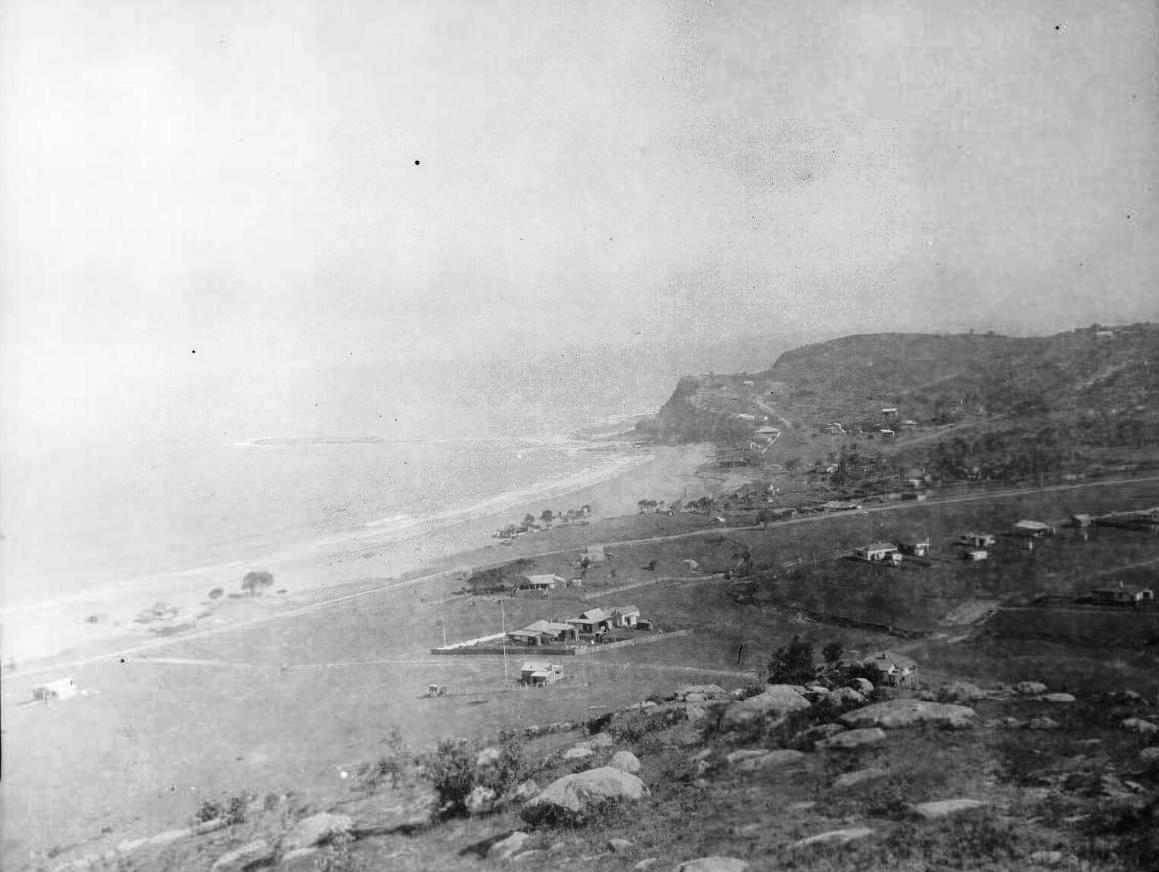
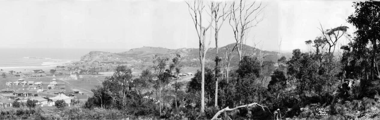
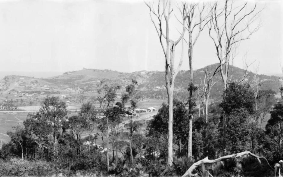
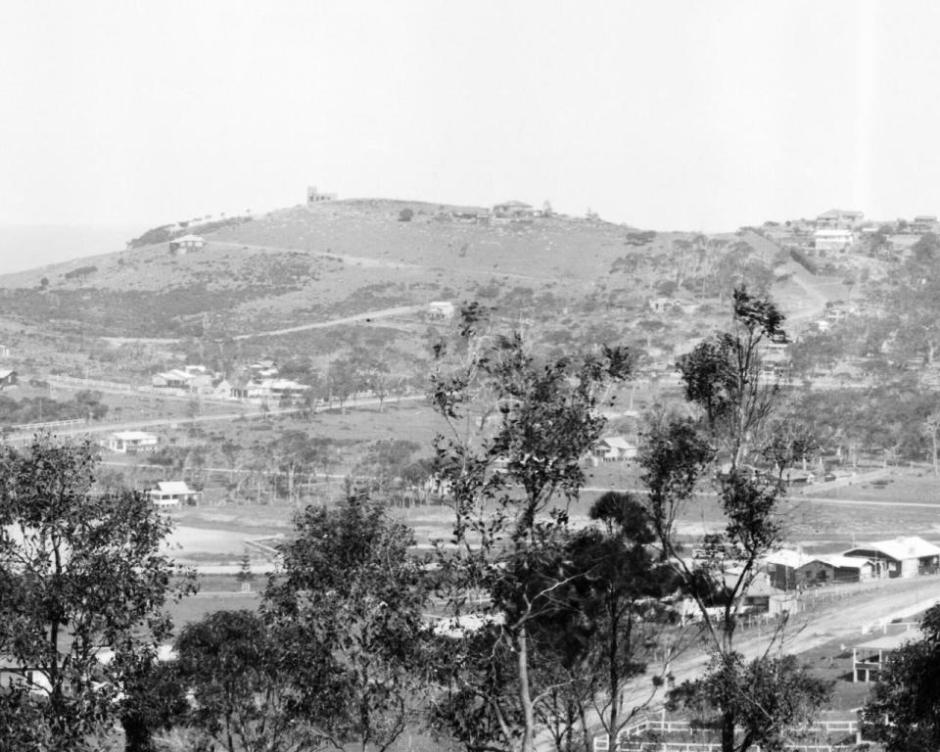
Newport circa 1905
D.P. and Lot Nos.:
C.R. 87450
C.R. 9878
C.R. 100179 Por 242 (lease to Newport Rugby, now community purposes) - 'Robbie Porter Stand' and 'Newport Breakers R.C.' signage on buildings - clearly visible. Newport Rugby Club was established in 1963.
Bushland walking trails upgraded behind Reserve, by Newport Bushlink Group (Volunteer group, with assistance from grant funding)
Linkages:
Attunga Reserve
Walking Trails
Eric Green Reserve
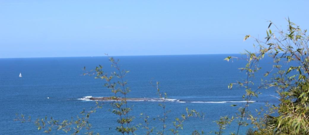
Bicentennial Coastal Walkway
Newport Beach Reserve
From: Plan of Management for SPORTSGROUNDS November 2000- Prepared by Pittwater Council Reserves and Recreation Section – also draft of Pittwater Council - July 1998
Access via Hillside Road pathway or from back of Porter's reserve ovals. (We took the path from Hillside down to the back of the rugby field, continuing freom the Crown of Newport Reserve - go along Hillslope, turn up the hill into Hillside and look for the 'Pathway' between houses).
300m Easy/Flat Walk
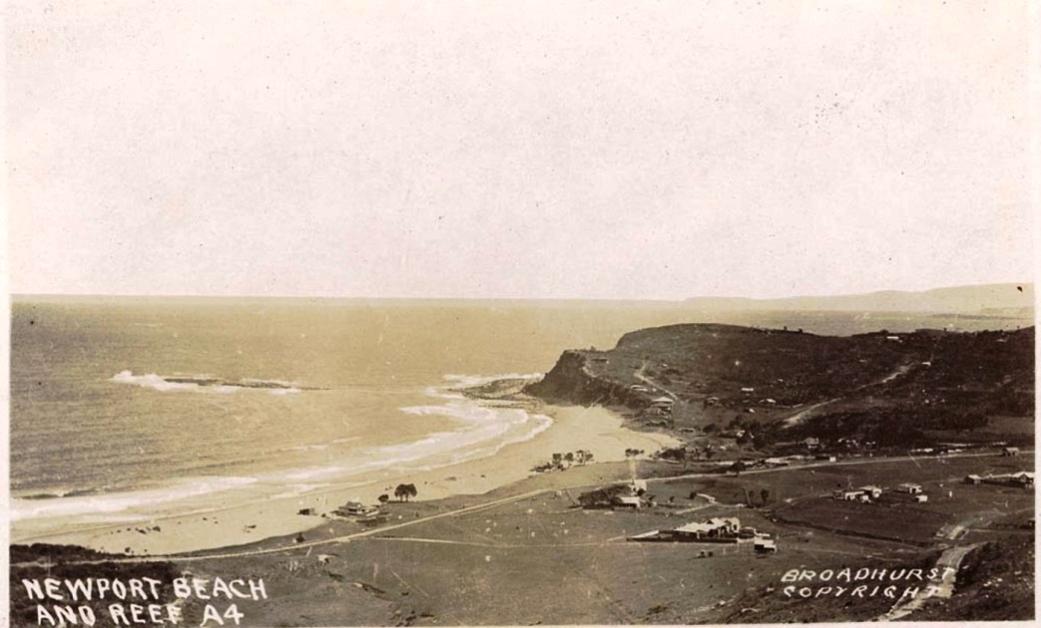
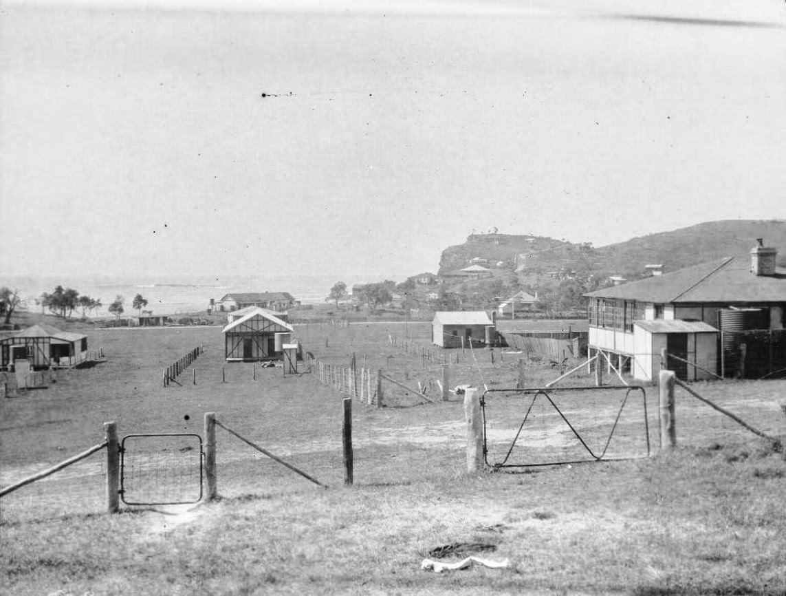
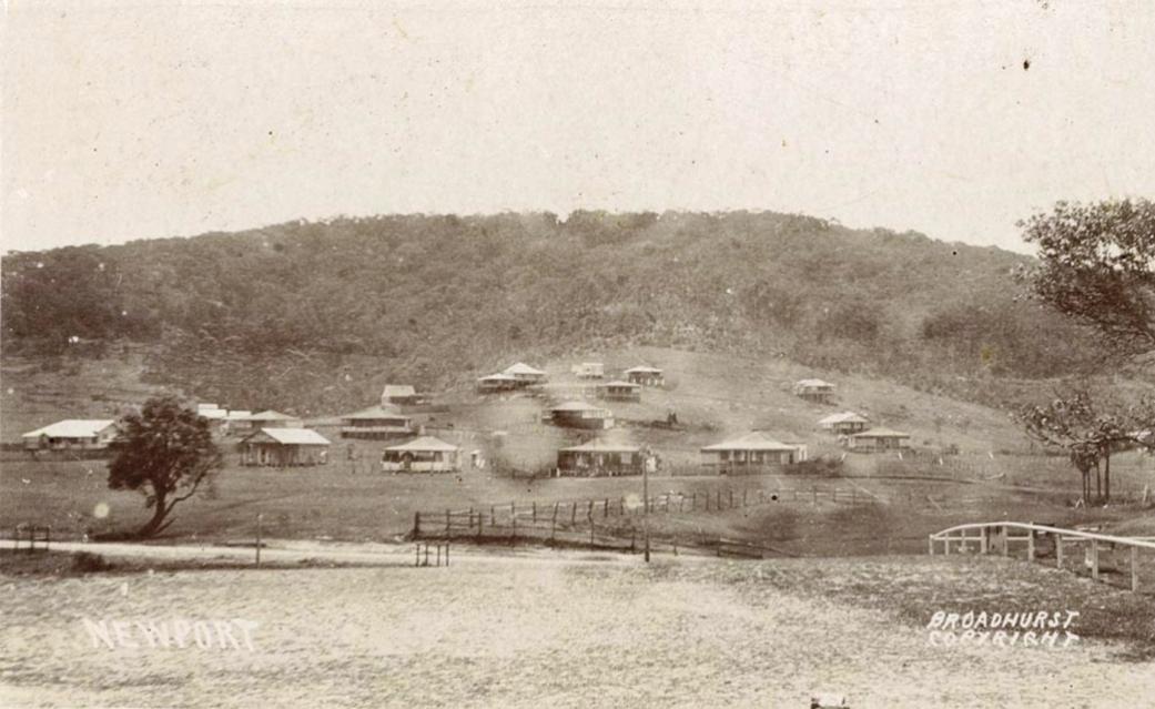
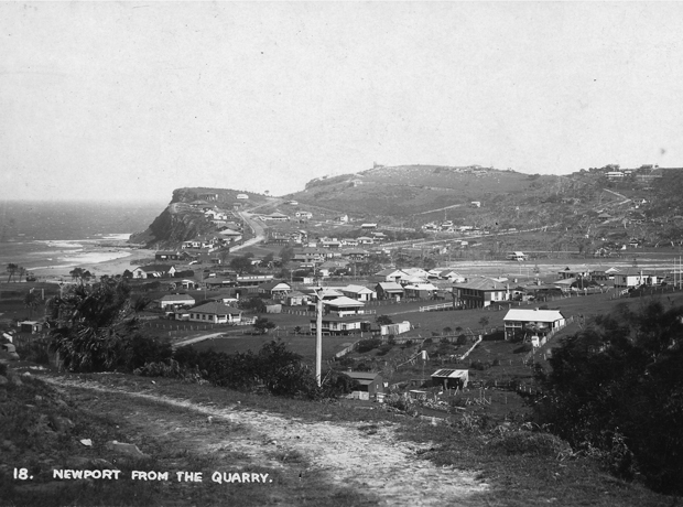
Broadhurst postcard a106122h from corner of what is now Attunga Reserve, circa 1900-1927 (191-12). courtesy State Library of NSW Visit: Mount Loftus – Newport