Council's draft LEP - DCP: Local Organisations Recommendations for Feedback to the Council
This may need changes due to the 'Community Participation Plan' announced Thursday August 27 2026 and which commences on September 1 2026 and allows a long list of Development Proposals to be excluded from being exhibited.
See report running this Issue: NSW Government's 'Community Participation Plan' (CPP) Entrenches-Expands Exclusion of Community-Individual Voices: runs from 1 September 2026; Development Types Excluded from Public Exhibition Include Demolition, Multi-Dwelling Housing, 2-storey Housing, Removal of trees - SSD's related to Housing still 14 days only
As well as this, the council's draft LEP and DCP will not be reported to Council for endorsement until early 2027, and is anticipated to commence in mid-2027, when published on the NSW Government legislation website. The DCP will commence on a date set by the council (usually the same date as the LEP commencement).
LEP and DCP: What are they?
A Local Environmental Plan (LEP) sets the legal rules for land development in the Northern Beaches. It includes zoning, permitted land uses and key development standards such as building height and floor space. A planning proposal is the formal document used to propose and justify changes to an existing LEP or to introduce a new LEP.
A Development Control Plan (DCP) supports the LEP and provides more detailed guidance for new development, including requirements for landscaping, car parking and privacy.
The LEP and the DCP work together to support the priorities and actions in Towards 2040, the council’s Local Strategic Planning Statement. Towards 2040 sets the strategic direction for land use planning across the LGA over 20 years.
In the NSW planning system, LEPs carry more weight than DCPs. LEPs are a statutory (legal) document while DCPs are a guideline. As State planning policies override both, including the current policies for low and mid‑rise housing and State Significant Development, the council's ability to ensure its planning controls are enforced will be limited.
The council has already approved DA proposals in line with these state imposed policies at Mona Vale.
The council states supporting studies, including housing, employment, social infrastructure and environmental studies, have informed its draft LEP and DCP.
Local Residents and Environment organisations have forwarded the following options to include in any feedback residents send in - with the feedback period closing today at 11:59, Sunday August 30 2026.
It is recommended you email your submission as a PDF or Word document to: council@northernbeaches.nsw.gov.au marked ‘Draft LEP and DCP 2026’ and cc yourself in for receipt of same, with date and time.
- Submissions must include a name and contact details to be counted as a formal submission.
- Multiple submissions from the same person will be counted as one submission.
- All submissions received by or on behalf of the same dwelling will be considered as a single submission.
- Personal information will remain confidential.
- Feedback may be published in consultation summaries with names and contact details removed.
- The council may treat a submission as confidential if a reasonable request is made.
Please select from the following points for your submission
Zoning Concerns in Deferred Lands
• Rejection of RU4 Zoning: Strongly oppose introducing RU4 Primary Production Small Lots in Belrose North/Oxford Falls Valley. Argue that permitted agricultural uses, intensity, and potential clearing conflict with C3 zones and disrupt wildlife corridors. Requests these areas be rezoned to C3. Existing developments be zoned C3/C2 split with C2 being the zoning on the remaining bushland
• Rejection of R5 Zoning: Opposes R5 Large Lot Residential in Cromer, Narraweena, and along Forest Way, stating it promotes incremental urbanization and conflicts with adjacent C3 land. Recommends rezoning R5 land to C3. Existing developments be zoned C3/C2 split with C2 being the zoning on the remaining bushland
• Rejection of R2 Zoning: Opposes R2 Low Density Residential on former Seniors Housing sites as it allows total site development and destruction of mandated bushland. Recommends C3 zoning or split zoning (with C2 over bushland).
• C3 vs. C2 Conservation: Recommends applying C2 Environmental Conservation zoning to high-value bushland and using split zonings (C2/C3) on properties.
• Unauthorised Clearing Clause: Calls for a protective clause stating that any rezoning applications involving unapproved land clearing since the Draft LEP exhibition start date will be automatically refused.
Specific Planning Controls & Land Uses
• Definition of "Low Intensity": Object to the undefined phrase "low intensity" (used in R5 and RU4 objectives), past Land and Environment Court approvals (e.g., an 80-room boarding house at 14–16 Wyatt Avenue) that contradicted local character. Demands a clear, quantifiable definition (e.g., footprint, occupancy, traffic limits, ENVIRONMENTAL IMPACT).
• Lot Consolidation: Requests that for 2ha dwelling provisions on 20ha minimum lot size lands, adjacent/adjoining lots under the same ownership (as of 8 March 1974) must be consolidated to prevent multiple dwellings.
• Equine Activities: Request strict land-use controls on horses and a prohibition on equestrian facilities/events in the Deferred Lands due to environmental degradation.
• Wildlife Corridors: Request that land on the north and adjacent to the Mona Vale Road East fauna bridge and underpass in Ingleside be rezoned from C3 to C2 to protect the wildlife corridor.
• Hazards: Fire and Flooding e.g. Hazards have not been considered at a fundamental level for this LEP. The bushfire risk has greatly increased with climate change: residents nearly lost homes at Beacon Hill and Cromer Heights when a simple hazard reduction went wrong.
• Passive recreation: Demand for passive recreation will increase exponentially with the proposed redevelopments of Frenchs Forest and Brookvale. Thousands of new residents living in apartments will need a green outlet.
• Wildlife corridors and connectivity need to be specifically included in the LEP otherwise they carry no weight in the Land and Environment Court
• Health and wellbeing: Bushland and biodiversity create appealing places and contributes to health and well-being(Reference: Towards 2024 Local Strategic Planning Statement). The bushland in Oxford Falls and Belrose are highly valued by bushwalkers, mountain bikers, dog walkers and nature lovers. This is why the Deferred lands in the Narrabeen Lagoon catchment should be zoned C2 not C3.
• Green infrastructure: Bushland is a form of green infrastructure which provides for the conservation of biodiversity. It also provides clean water and habitat for plants, animals and microorganisms. (Reference: Towards 2024 Local Strategic Planning Statement) This is why the Deferred lands in the Narrabeen Lagoon catchment should be zoned C2 not C3 Priority 2 is protected and enhanced bushland and biodiversity (Reference: Towards 2024 Local Strategic Planning Statement)This is why the Narrabeen Lagoon Catchment which is largely untouched bushland should be zoned C2
• Land use is relevant and the protection of natural areas and bushland is essential to protect Narrabeen Lagoon Catchment and its waterways.
Note: Most of the Narrabeen Lagoon catchment is to be zoned C3 which allows one dwelling house to be built per block subject to size limits
Residents of Pittwater also insist the Northern Beaches Council protect the plants and habitat of the Listed Ecological Community gazetted under Pittwater Council at a NSW state level - the 1998 Pittwater Spotted Gum Forest endangered ecological community listing, which was updated to the 2013 Determination relating to the Pittwater and Wagstaffe Spotted Gum Forest - and at an Australian Government level, ensure it does nothing further to cause damage to the Littoral Rainforest and Coastal Vine Thickets of Eastern Australia(Listed as Critically Endangered - Date effective 10-Oct-2008) and the Posidonia australis seagrass meadows of the Manning-Hawkesbury ecoregion, which has sites at Station Beach, where dogs were allowed to defecate under the Northern Beaches Council's plan, and Careel Bay among other Pittwater sites -- without exceptions.
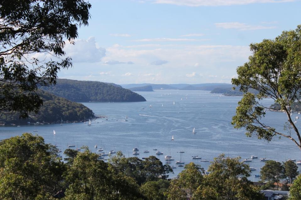
Additionally, Pittwater residents have pointed out Pittwater has been excluded from the 'Scenic Protection' clause in the draft DCP and the LEP, and should be included given the beauty of the Narrabeen to Barrenjoey peninsula and its estuary.
At this stage applies only to:
- Foreshores scenic protection area - applies to land in the vicinity of North and Middle Harbour and the Pacific Ocean, Manly
- Scenic Protection - applies to land in Oxford Falls Valley and Belrose North [page 33 - '4B.8 Scenic protection' - Draft DCP plan]
Residents have also stated this presents an opportunity for those living in Pittwater to require the Northern Beaches Council cease installing plastic grass, plastic walkways, plastic wharves and rubber infill in the Pittwater environment and remove those it has already installed, without consultation, especially in creek flow and flood areas or alongside Narrabeen Lagoon and Newport Beach.