November 11 - 17, 2018: Issue 383


Warriewood And Other Creek Melodies

The destruction of a protected Warriewood area has caused a lot of distress in our community this week. Thanks to those residents present and the work of John Illingsworth (Pittwater Pathways) the matter has been brought to the attention of those responsible for addressing what has occurred.

John's 'Pittwater Pathways' is about celebrating the positives, the beautiful places here. His skills with film are put to other uses when needed, but it is capturing and sharing that beauty he has a passion for. One such glory runs below, and epitomises why this gentleman puts his time, money and energy into providing the community with a voice.

Below this are a few other photos taken when having a stroll with former Pittwater Mayor David James, one of that determined band of residents who ensured we have a Warriewood wetland. These were taken the week Mr. James' OAM was announced and, rather than go one about that, he thought a 'distraction' in sharing one of his pet projects would suffice better than a 'bunch of words'.

His 'A Short History of community involvement in favour of environmental issues/campaigns in and around Narrabeen Lagoon - 1974 to present' includes insights into the saving of these creeks and their cleaner passage to the lagoon. That account forms part of a History page Eeling In Warriewood's Creeks, as the elder generation of Pittwater clearly recalls being able to catch eels and yabbies in this old  valley - and there may be some still lingering, away from the now nosier thoroughfares. 

This week a chance for an exhale and a small celebration of why we all love to dawdle along Pittwater Pathways and hear those Warriewood and other creek Melodies.

Mullet Creek Weed Control

'Duckholes' And Lovett Bay Waterfall

David James, OAM. 

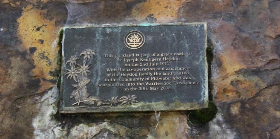
From Narrabeen Lagoon up Mullet Creek 

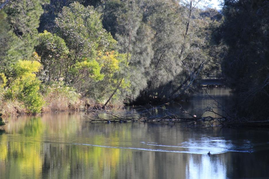
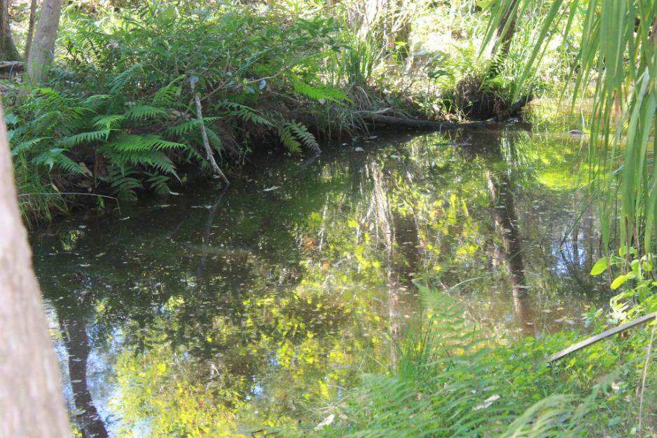
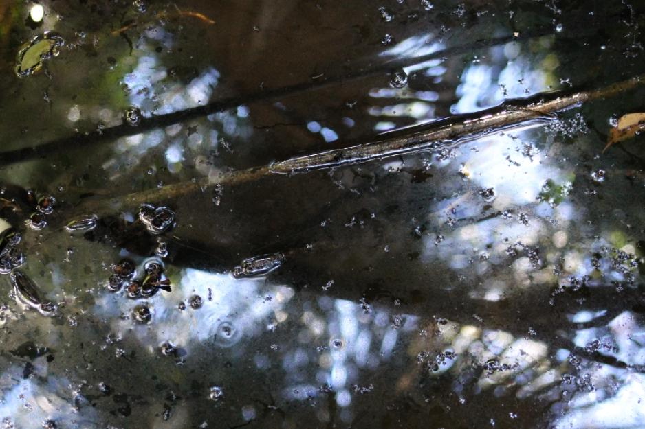
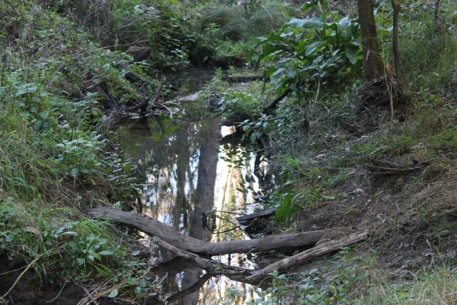
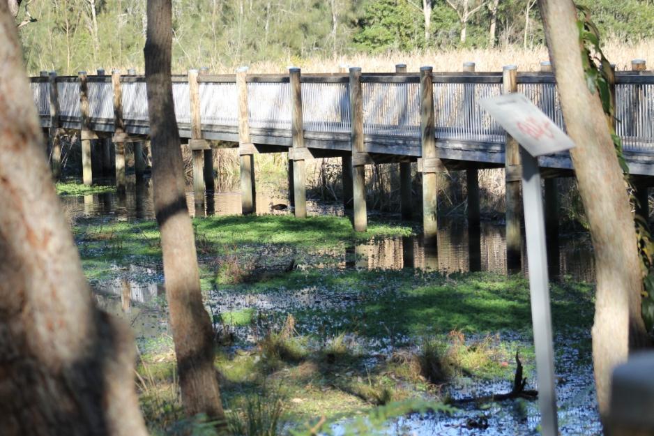
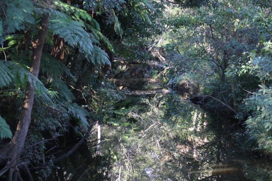
Mullet Creek runs through all three reserves, the Warriewood-Ingleside Escarpment, adjoining Irrawong Reserve and Warriewood Wetlands before flowing into Narrabeen Lagoon. 

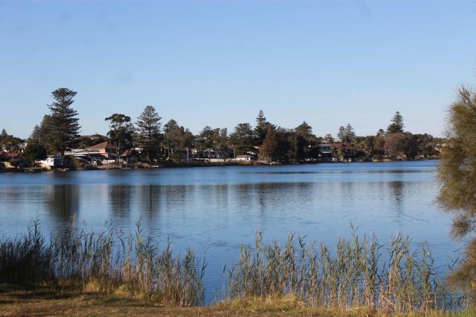
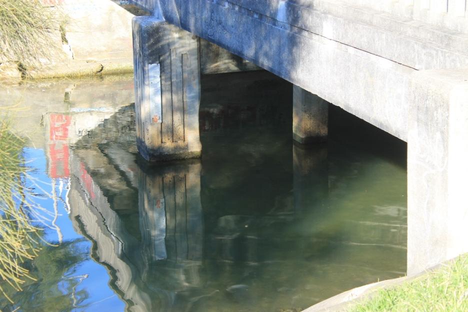
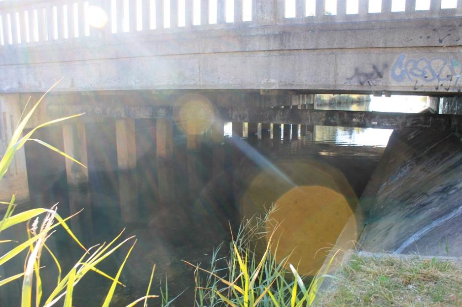
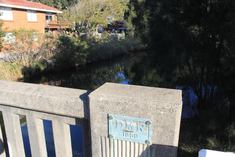
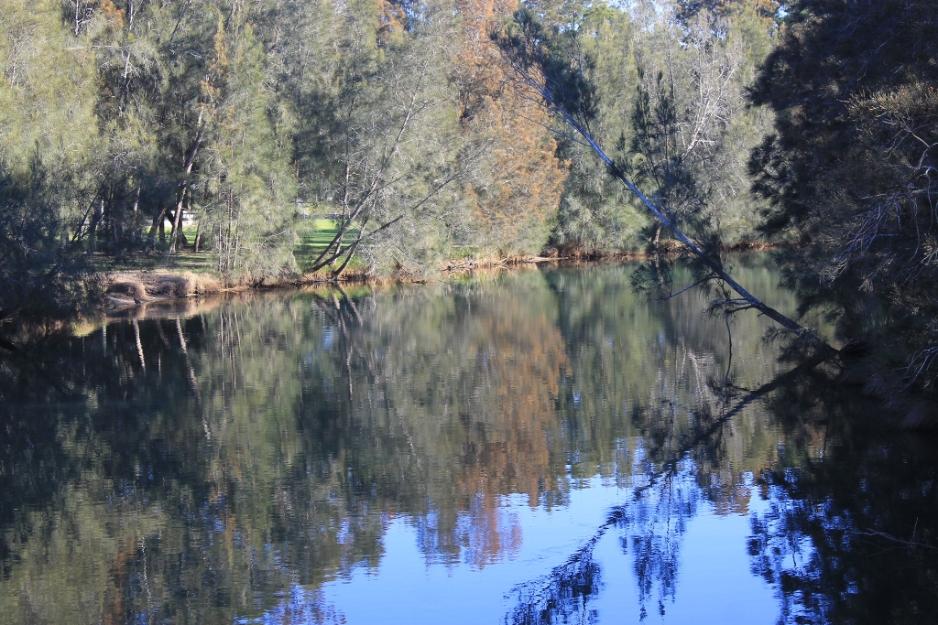
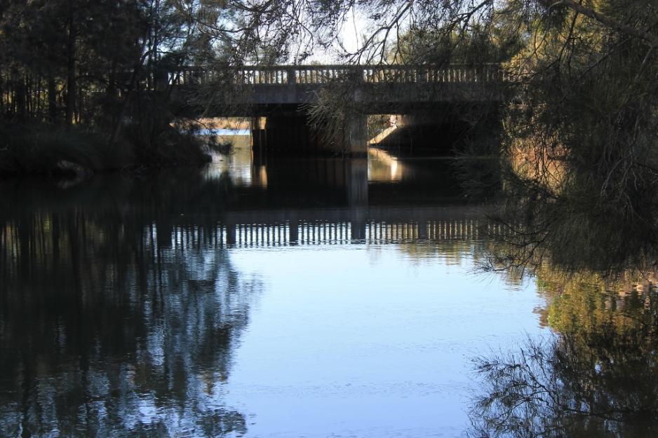
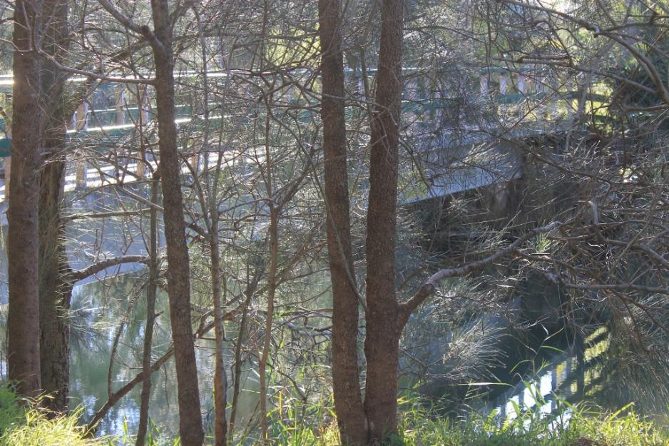
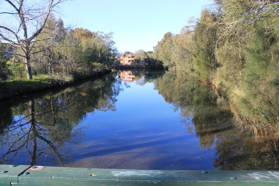
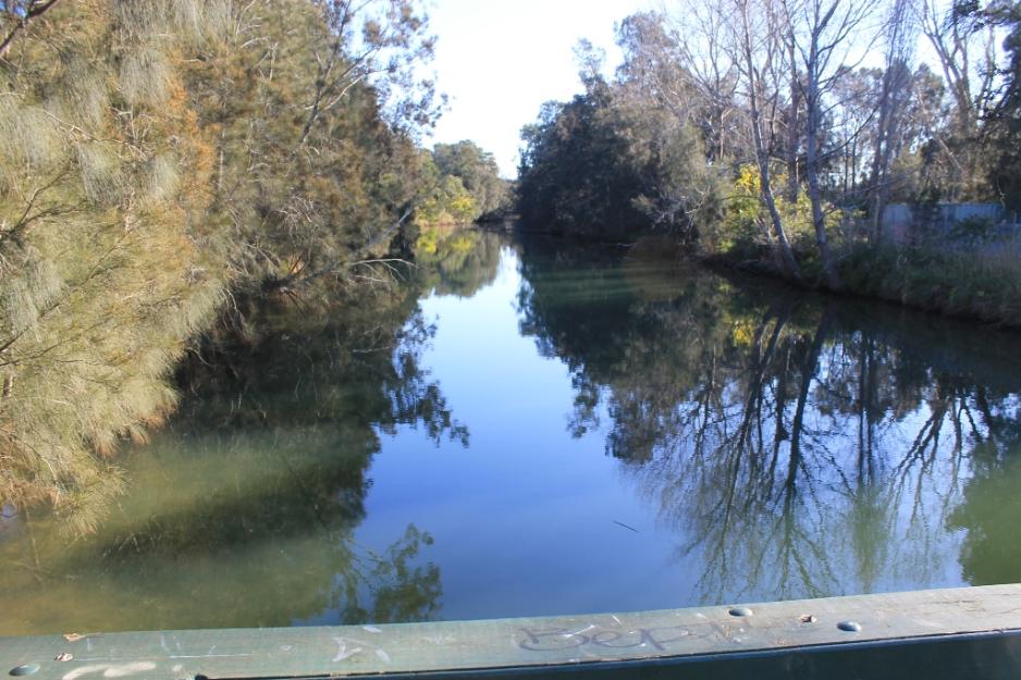
Above: South to Narrabeen Lagoon. Below: North view from bridge. 
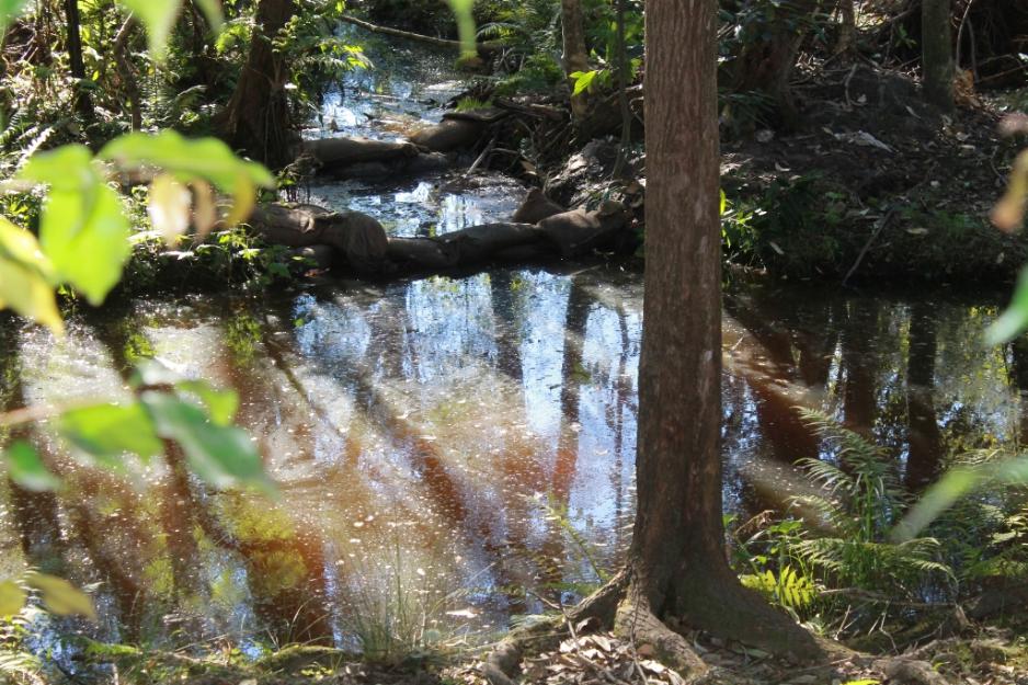
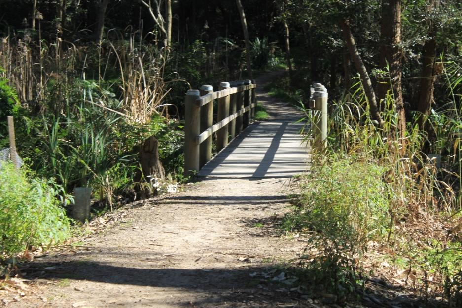
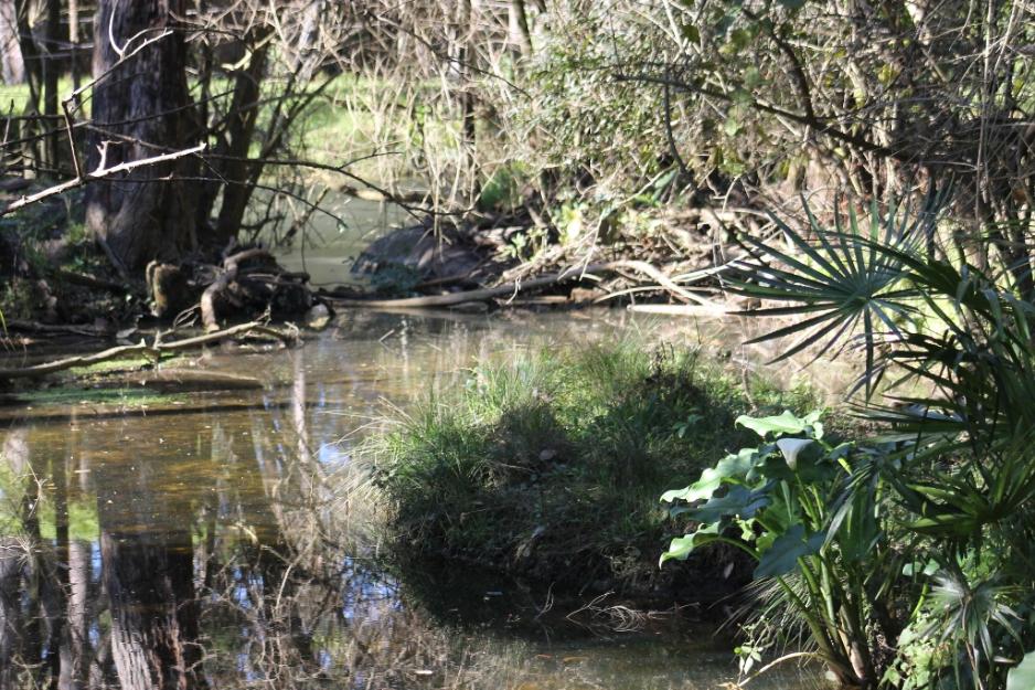
Irrawong Creek 

The creek flows through Irrawong Reserve at Garden Street Warriewood, an area of 4.5 hectares, which links the Ingelside to Warriewood Escarpment with the Warriewood Wetlands.

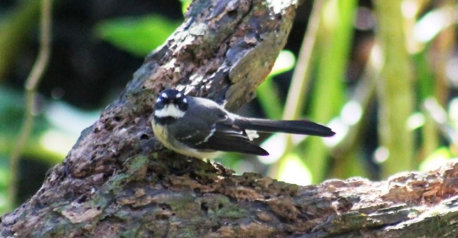
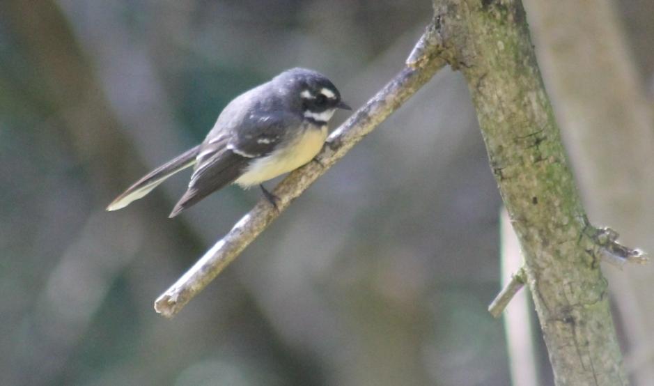
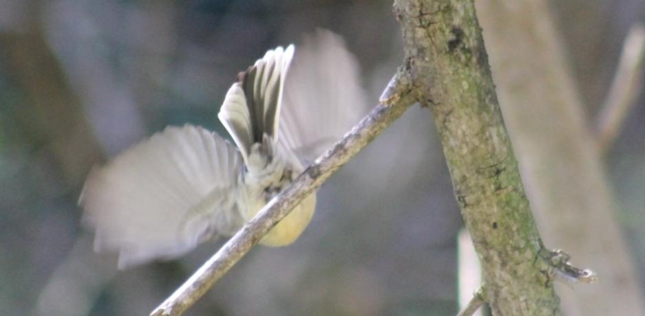
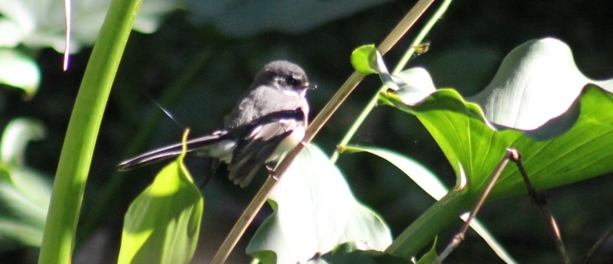
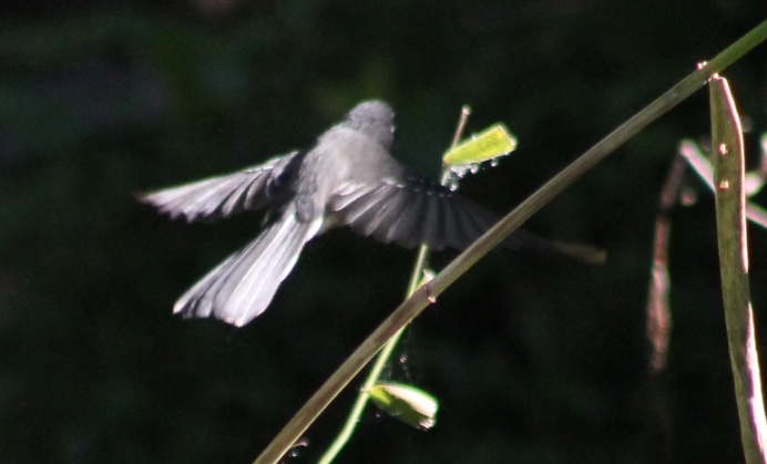
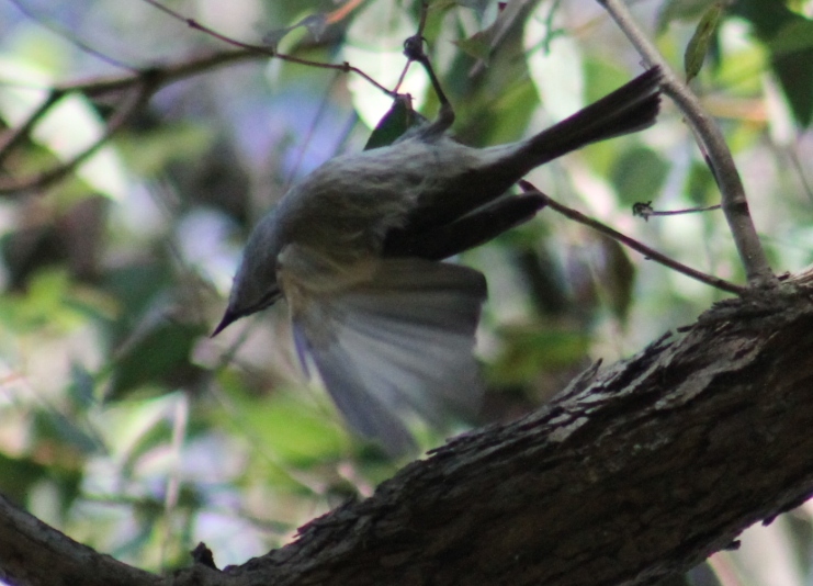
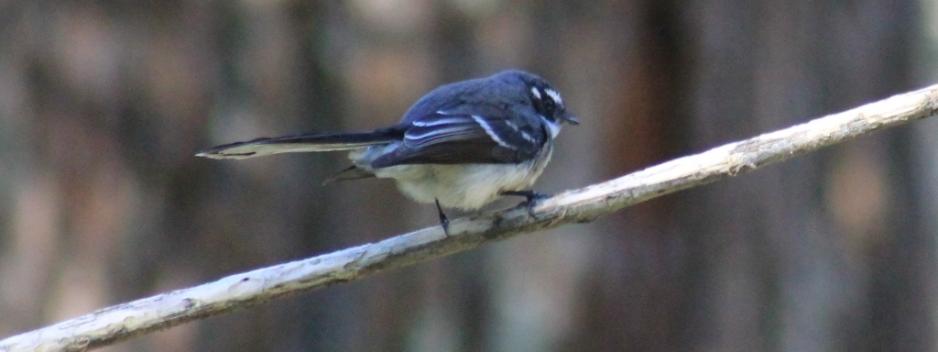
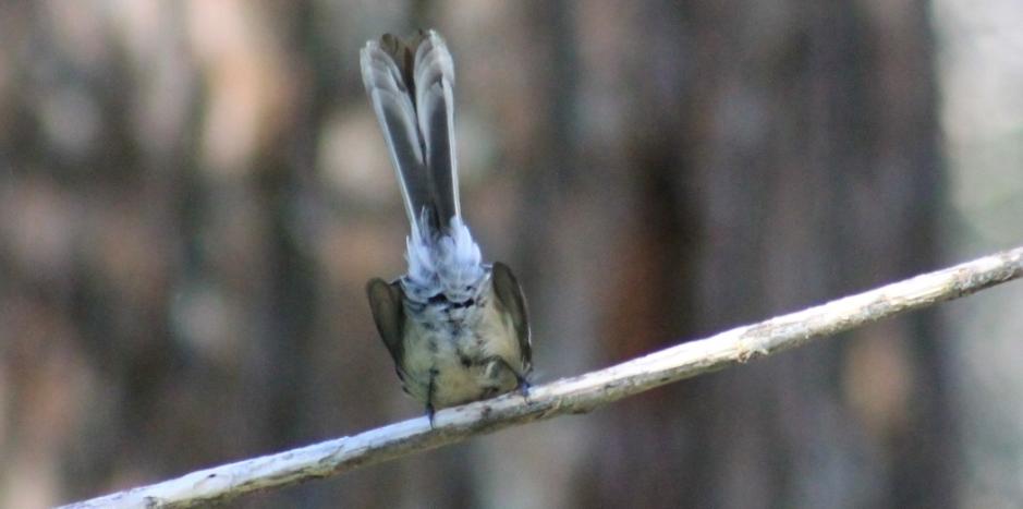
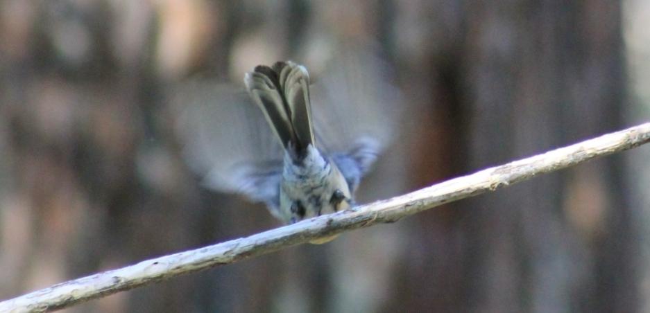
Grey Fantail -  Rhipidura fuliginosa
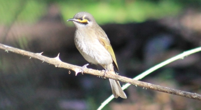
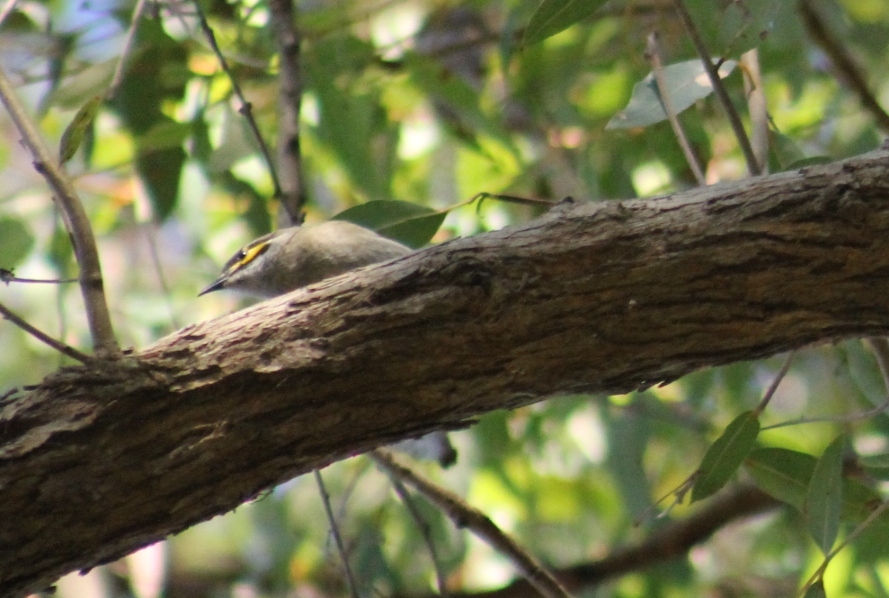
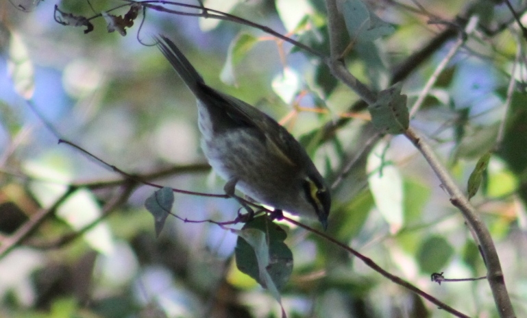
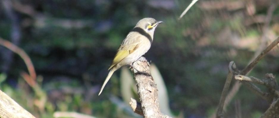
 

 Yellow-faced honeyeater Lichenostomus chrysops


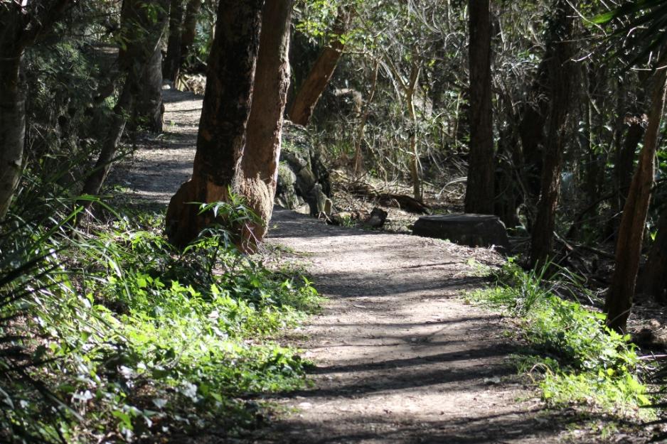
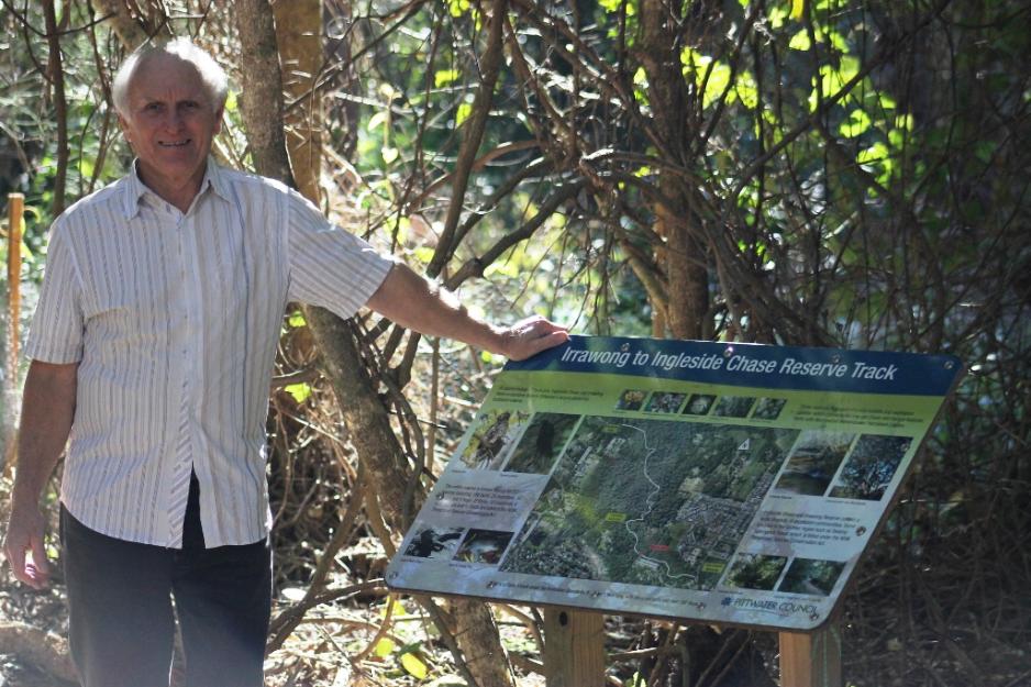
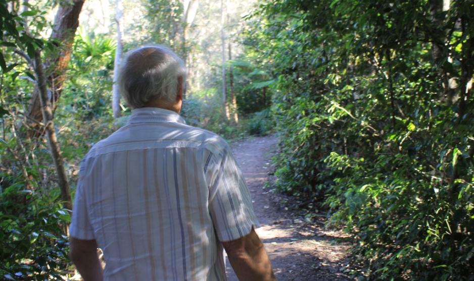
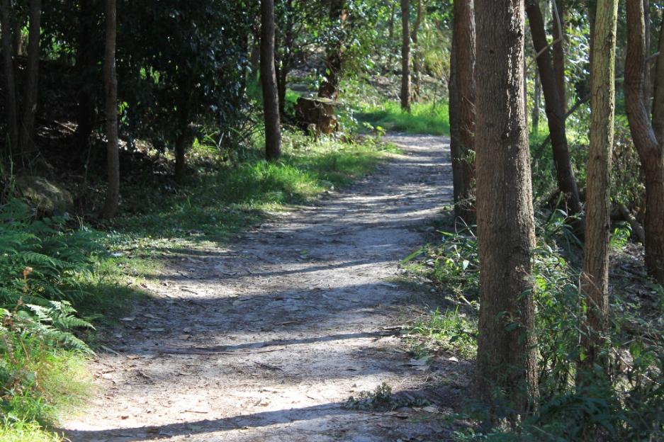
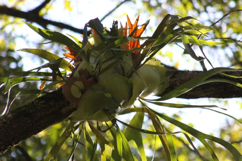
Stopped - gazing at a very tall tree 'What a beauty...that one has been here for a while now...' 

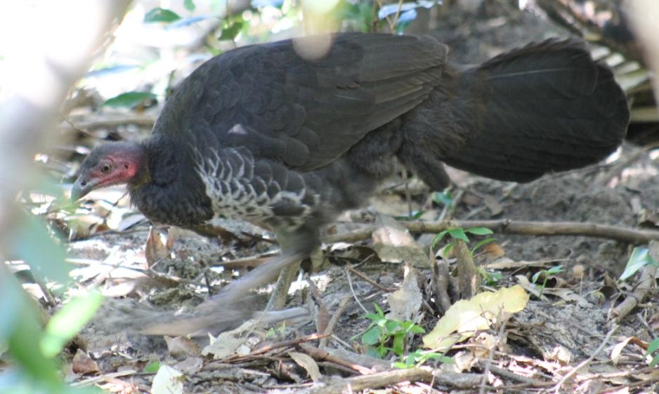
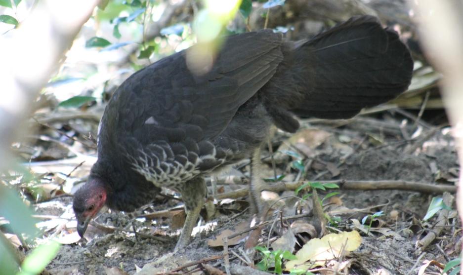
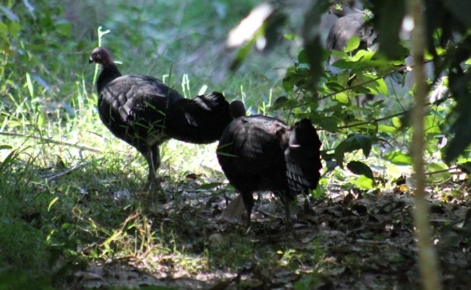
Brush Turkey - foraging - Alectura latham
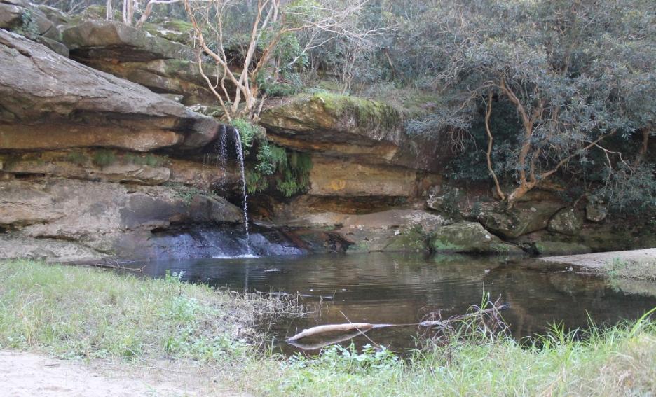
Irrawong Waterfall 

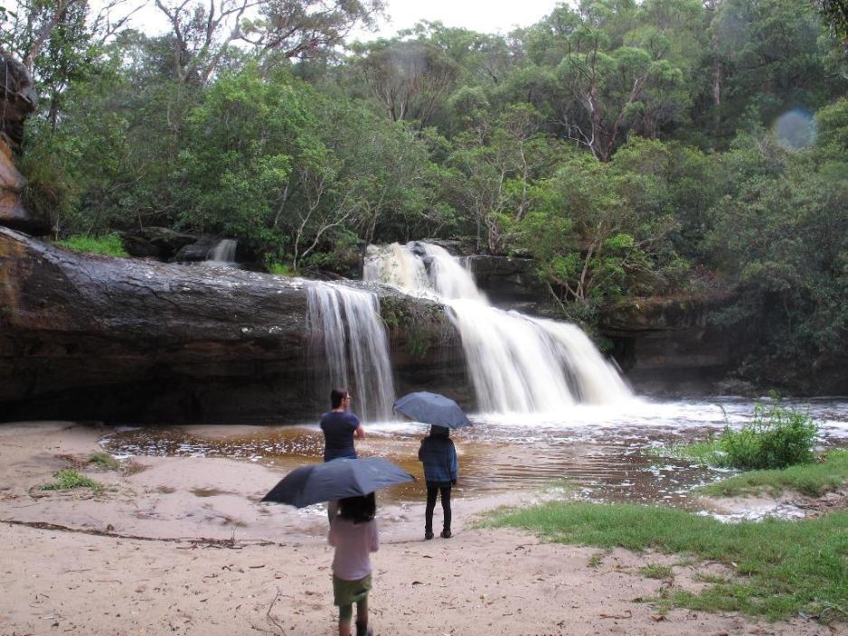
 The waterfall in flood on 2/2/13. Photo by Marita Macrae.
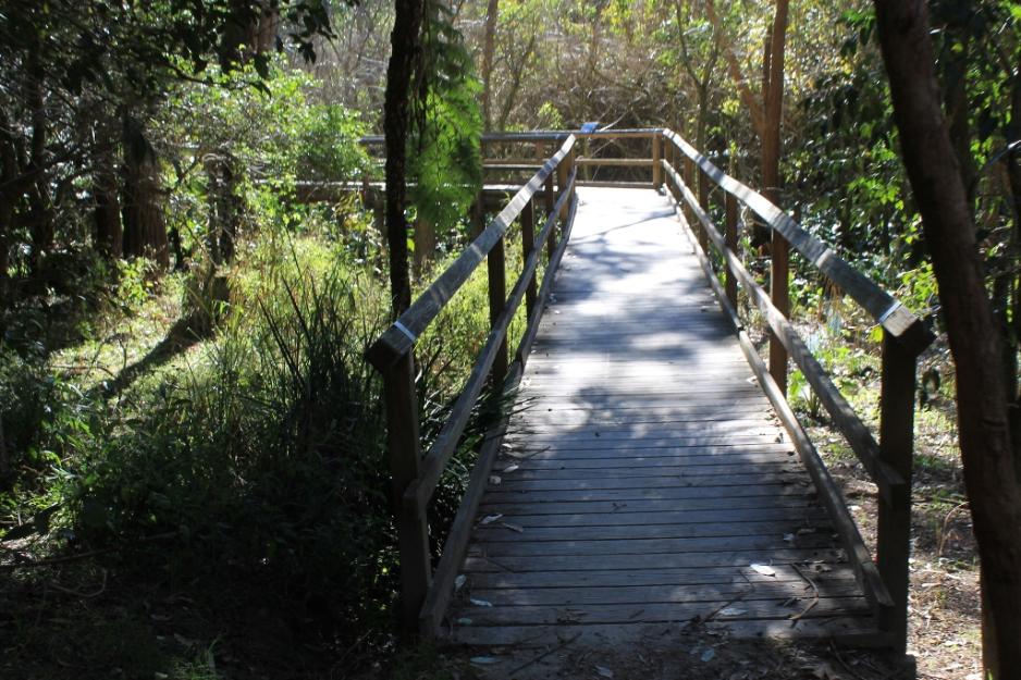
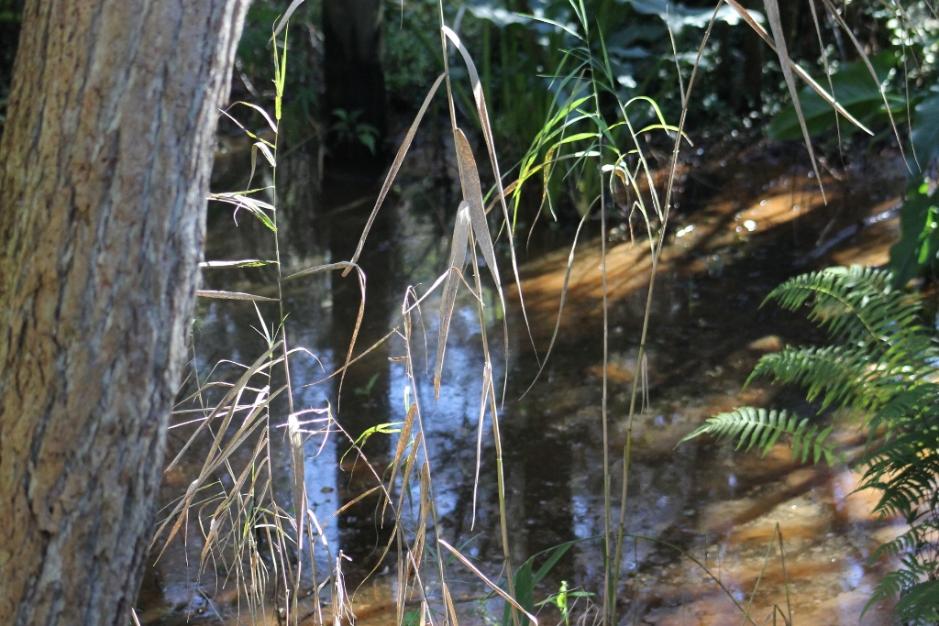
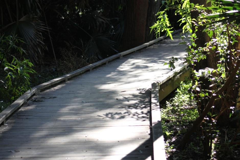
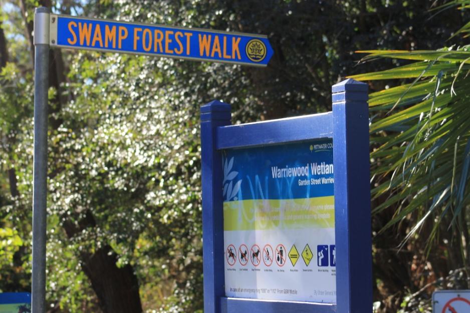
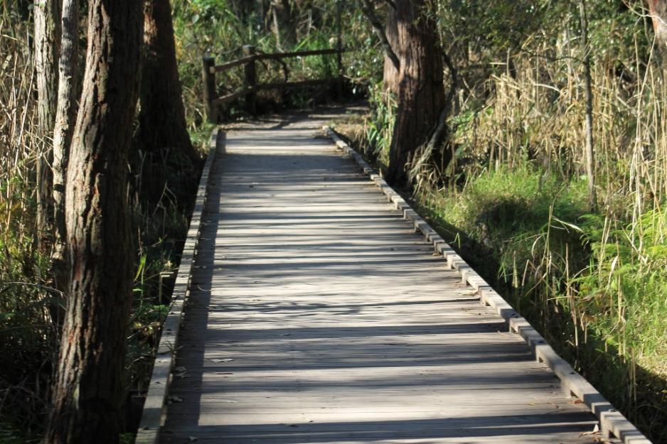
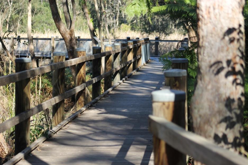
 

Warriewood Wetlands 

The Warriewood Wetlands are 26 hectares in size, making this wetland the largest remaining sand plain wetland in the northern Sydney area.  It has living Swamp Sclerophyll Forest, Freshwater Wetlands and Swamp Oak Floodplain Forest, all listed as endangered ecological communities in NSW.

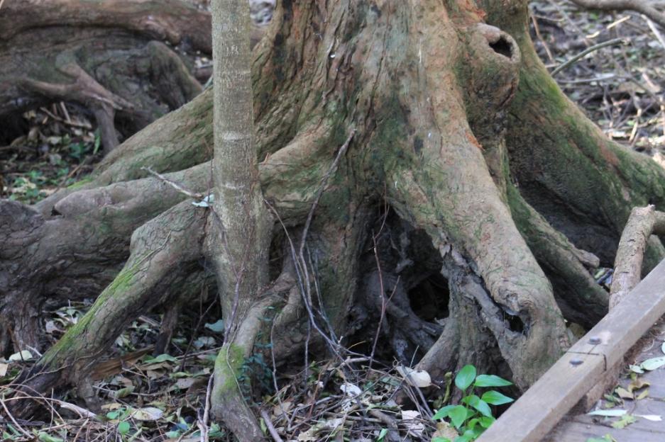
David pointing out Swamp Mahogany - Eucalyptus robusta - root system below

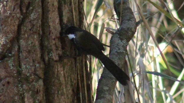
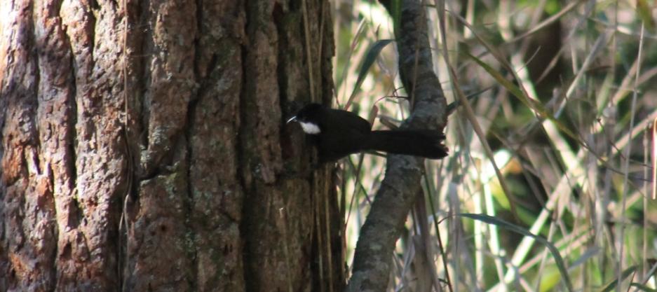
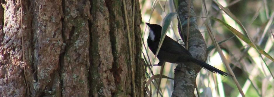
Eastern Australian Whipbird - Psophodes olivaceus

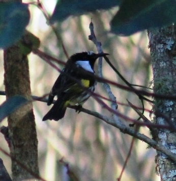
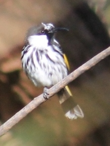
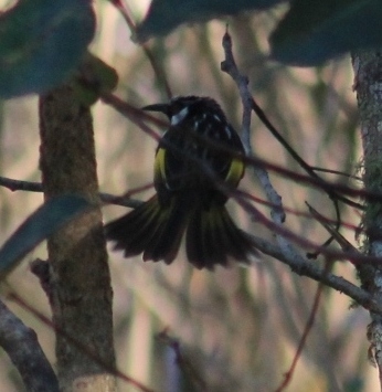
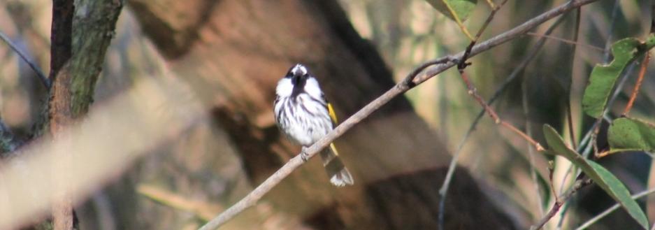
White-cheeked Honeyeater -  Phylidonyris niger
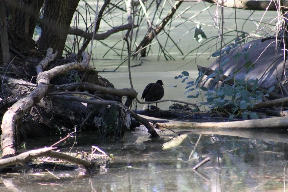
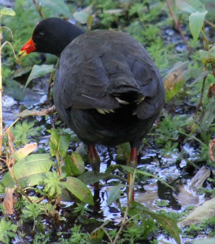
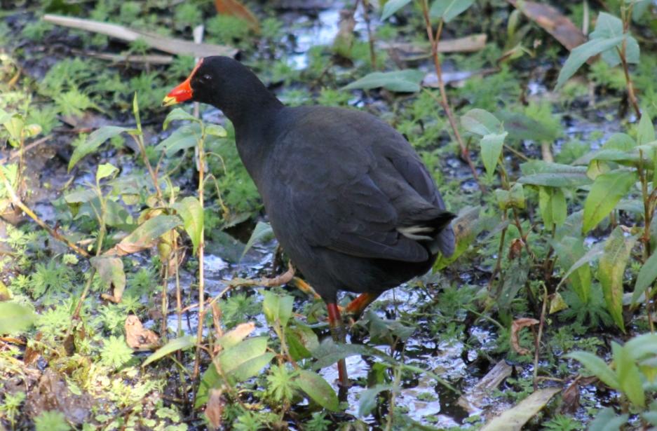
   

 Dusky Moorhen Gallinula tenebrosa

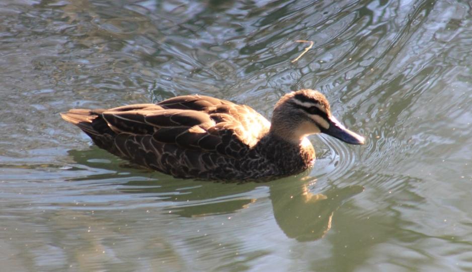
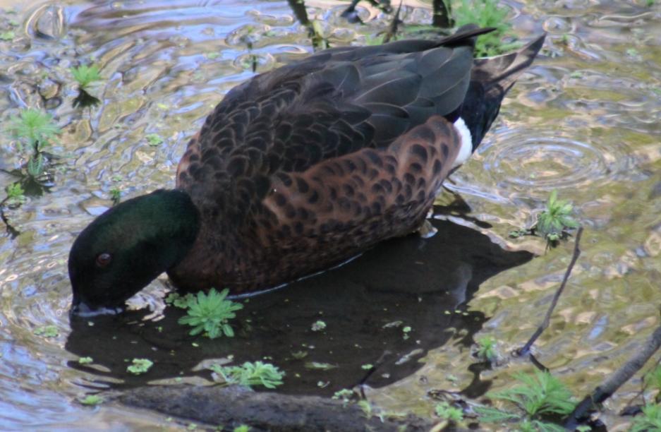
 Chestnut teal - Anas castanea

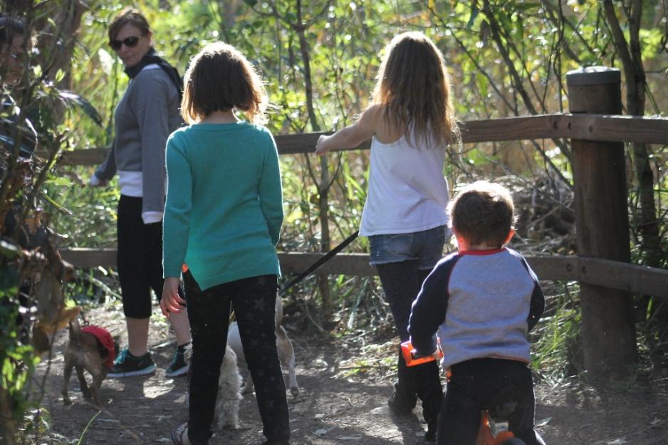
Another family-friendly green space!