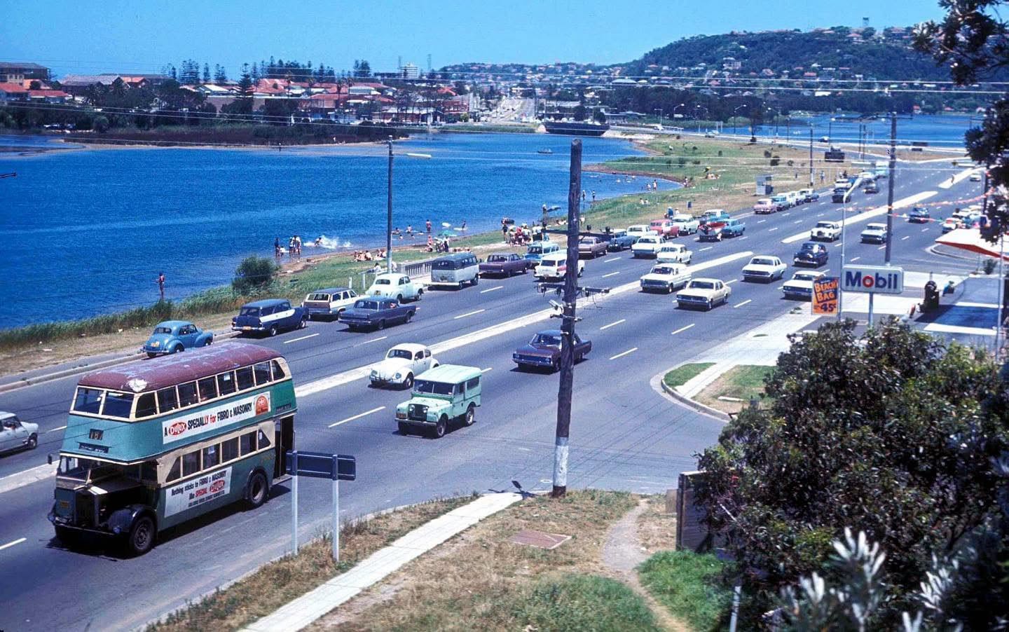
Looking south from near the corner of Nareen Parade and Pittwater Road towards the Narrabeen Bridge, in 1969
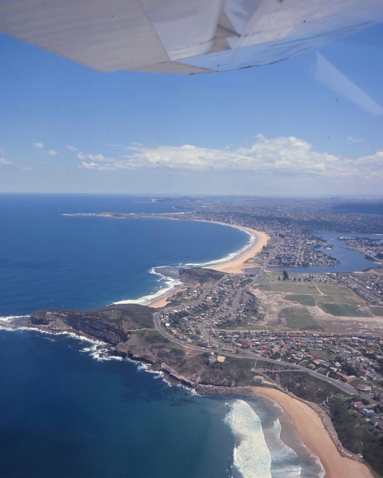
Aerial view looking south over Warriewood, Turimetta Beach and Narrabeen Headland, Northern Beaches (1976) Credit: National Archives of Australia Via: retrosydney. This aerial view from December 1976 captures the natural beauty of Warriewood, Turimetta Beach, and Narrabeen Headland. At the time, much of the area remained less developed compared to today. Sandy beaches, rocky headlands, and open land dominated the landscape.
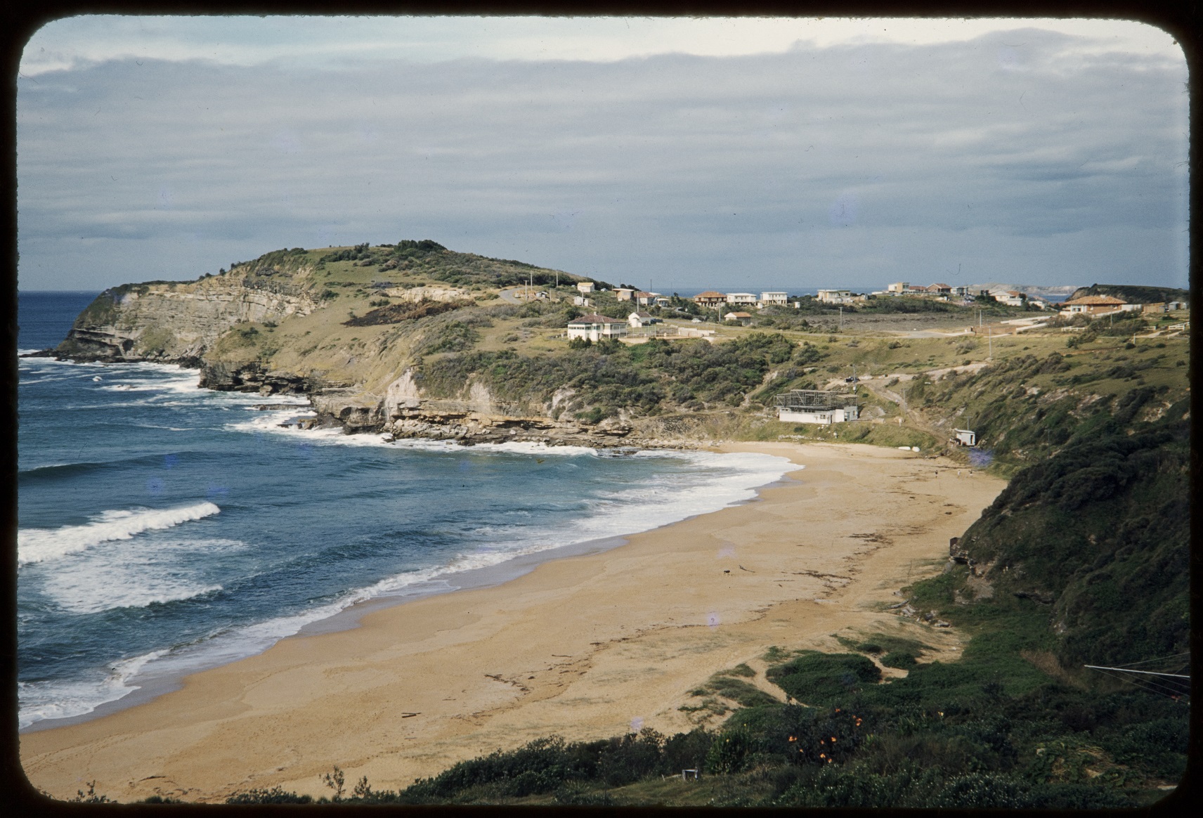
Compare Warriewood, July 1956, courtesy State Library of NSW. Item: SLNSW_FL21157110
Compare view north over Mona Vale in July 1956
%20smaller.jpg?timestamp=1760590075099)
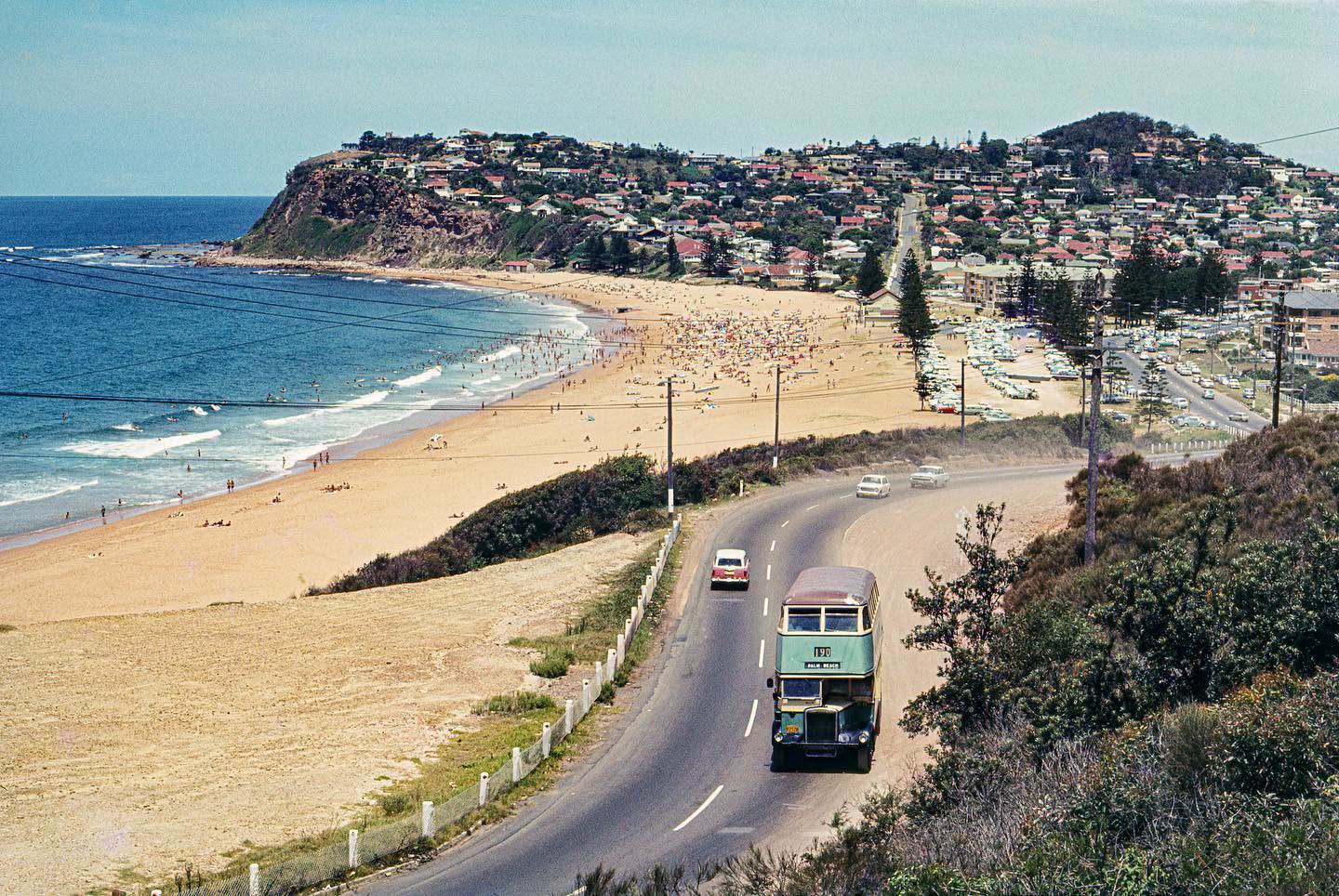
Newport Beach and Barrenjoey Road as the 190 snakes up the bends towards Avalon in Early February 1969. John Ward via City of Sydney Archives
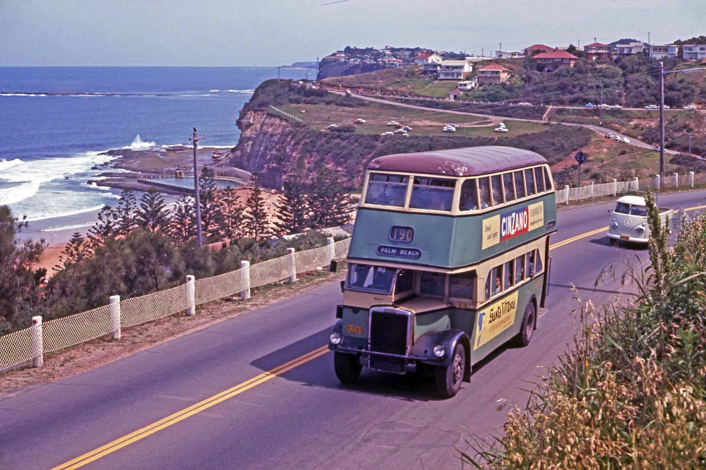
Looking south over Bilgola Beach towards South Bilgola Headland in 1969. Photo by John Ward via City of Sydney Archives
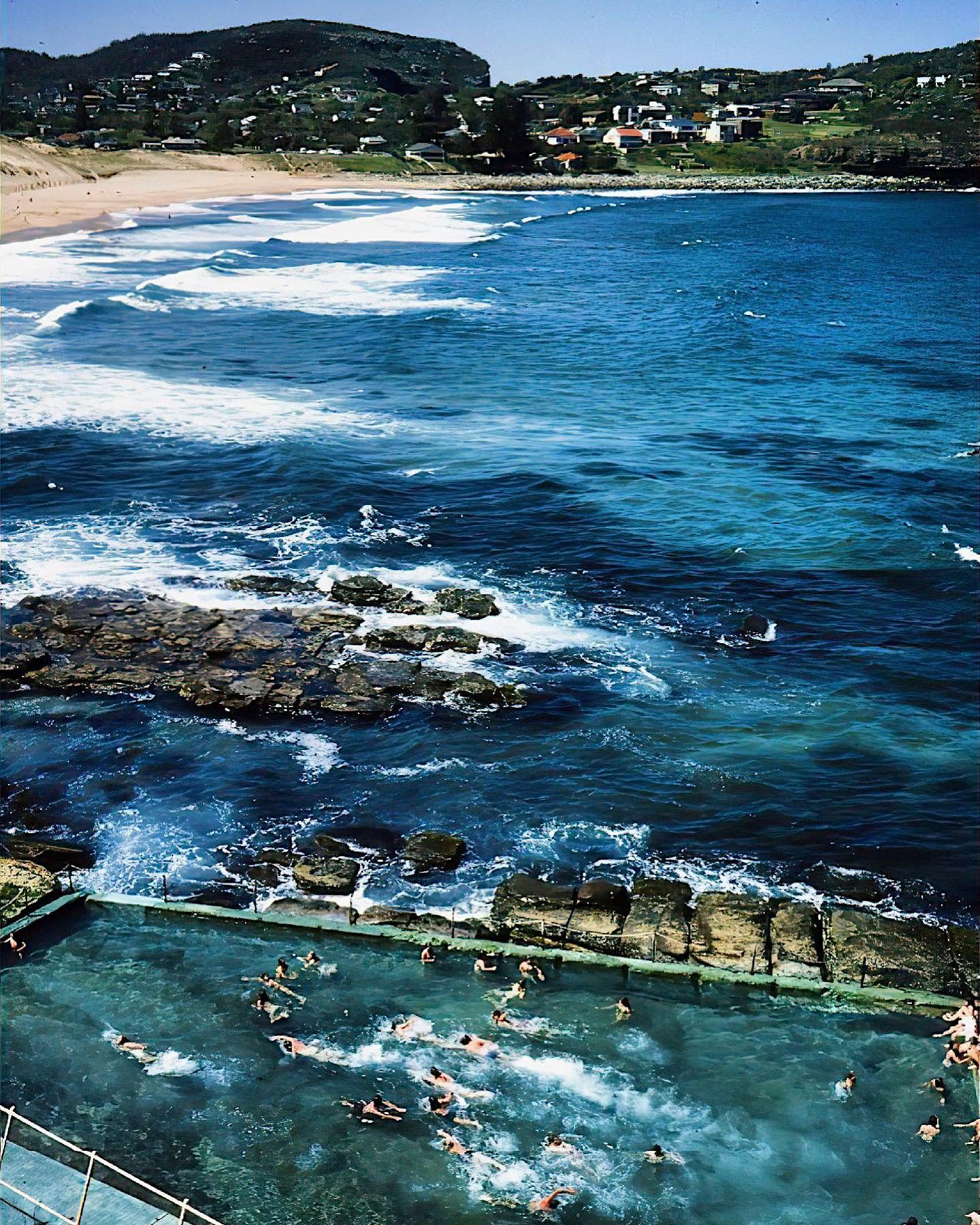
Avalon Beach as beachgoers swim in the rockpool below in 1978. Photo credit: ‘Sydney: Great cities’, Brian Blake, 1978, Courtesy of Mr Raymond Wai-Man Lau, 2001, Museum of New Zealand
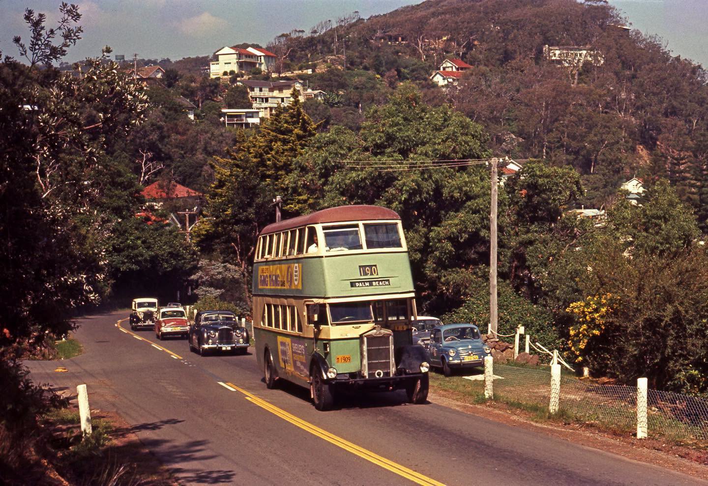
The 190 makes its way to the beachfront as it passes Palm Beach Road in 1969. Photo credit: John Ward via City of Sydney Archives.