References + Background Information
Middle Creek Bushland Reserve
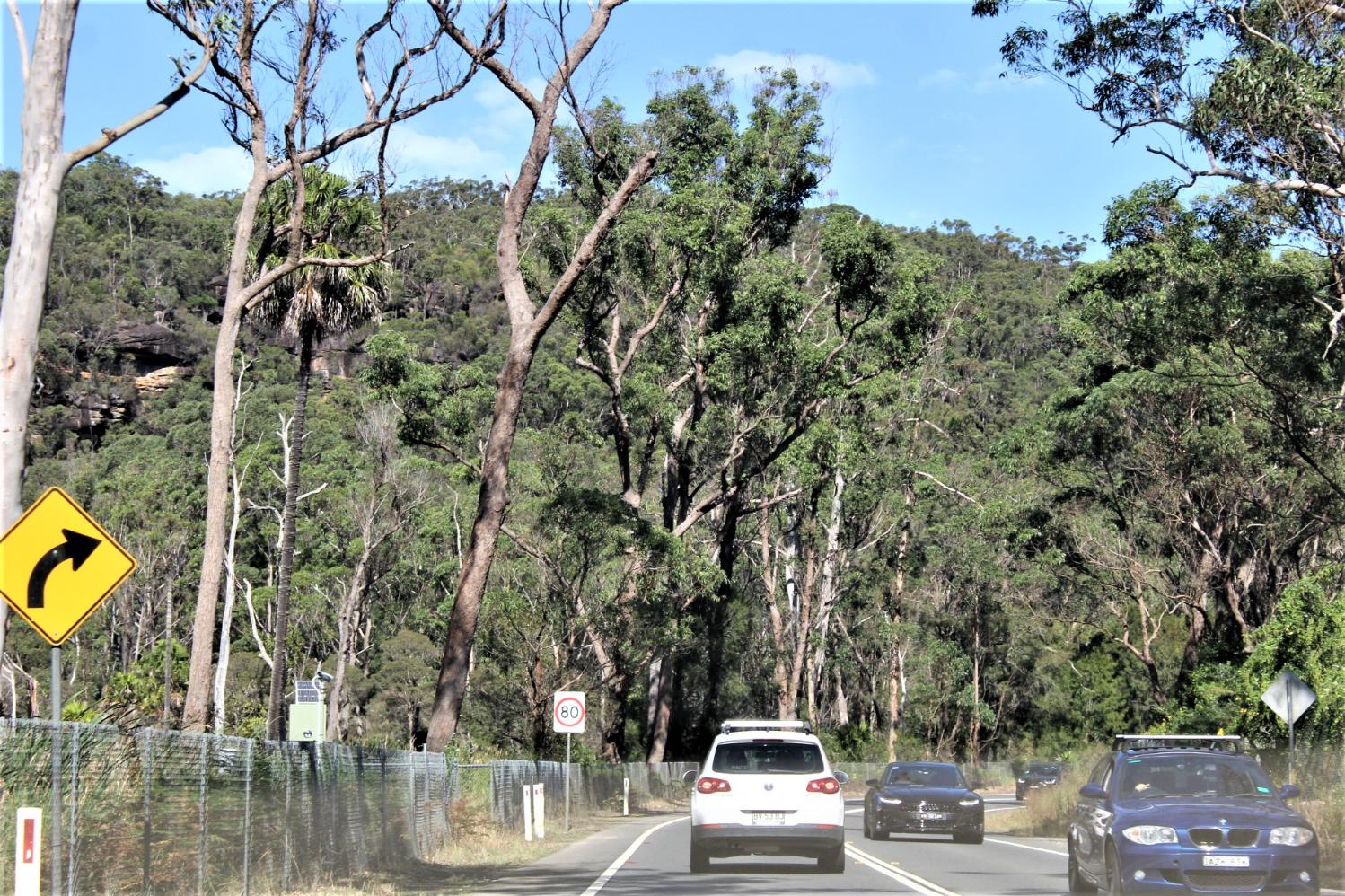
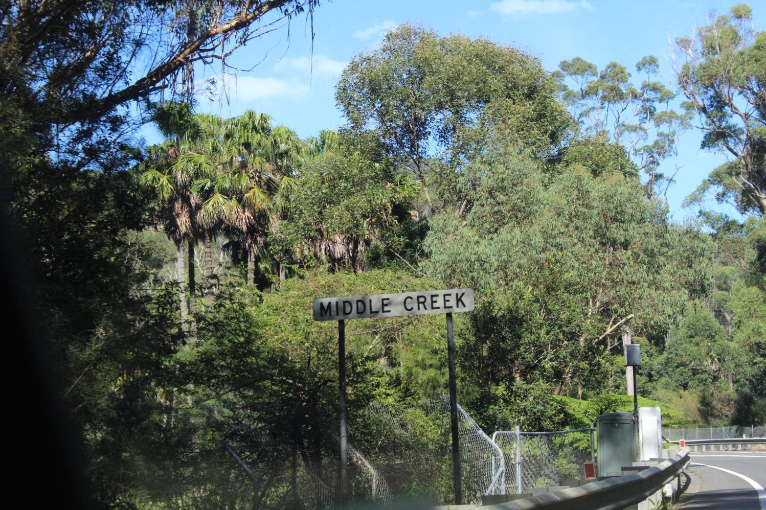
Middle Creek Reserve is located along the Wakehurst Parkway and contains one of the highest conservation bushland areas on the Northern Beaches. Middle Creek and its tributary, Trefoil Creek, form part of an important wildlife corridor linking large areas of bushland reserves in the south of the Beaches with the extensive bushland to the west including Garigal National Park and Narrabeen Lagoon catchment to the south.
Nine native vegetation communities were identified in the study area. These included four endangered communities (swamp oak forest, bangalay alluvial forest, water fern swamp and estuarine paperbark scrub, the last three of which are all forms of swamp sclerophyll forest on coastal floodplains), two regionally significant communities (seagrass meadow and coachwood rainforest), and three other communities (peppermint-angophora forest, bloodwood-scribbly gum woodland and sandstone heath). A total of 313 native plant species has been recorded in the catchment area including three rare Australian species (Angophora crassifolia, Darwinia procera and Lomandra fluviatilis), 23 species considered threatened in northern Sydney, four species considered threatened on the Northern Beaches, and eight biogeographically significant species.
A total of 138 native fauna species have been recorded in or near the Middle Creek area, consisting of five frog species, 18 reptile species, 100 bird species and 15 mammal species. These include nine threatened species: giant burrowing frog, Rosenberg's goanna, black bittern, osprey, glossy black-cockatoo, powerful owl, spotted-tailed quoll, frey-headed flying-fox and common bentwing bat. Of special significance is an osprey nest tree, which was the site of the first successful breeding record of the species in the Sydney region.
Wildlife Protection Area: Dogs and cats are not allowed here at any time. Location: Middle Creek Reserve, Cromer
Retrieved from: https://www.northernbeaches.nsw.gov.au/things-to-do/recreation-area/middle-creek-bushland-reserve
Deep Creek Bushland Reserve
Deep Creek Reserve is located along Wakehurst Parkway and is one of the Northern Beaches highest conservation reserves. The reserve contains a small freshwater wetland on the lower section of the reserve which is a form of Sydney Freshwater Wetlands, listed as a Threatened Ecological Community in NSW. This reserve contributes to a regional corridor providing movement for an abundance of native animals including threatened pygmy possums (Cercartetus nanus), powerful owls (Ninox strenua) and heath monitors (Varanus rosengergi).
Vegetation
Vegetation communities in the reserve include Coastal Freshwater Wetlands, North Coast Wet Sclerophyll Forests, Sydney Coastal Dry Sclerophyll Forests, Coastal Freshwater Lagoons and three Threatened Ecological Communities Swamp Oak Floodplain Forest, Sydney Freshwater Wetlands and River Flat Eucalyptus Forest. Dominant trees located on the sandstone ridgetop of the reserve include Sydney Redgum (Angophora costata), Sydney Peppermint (Eucalyptus piperita) and Red Bloodwood (Corymbit gummifera) and on the floodplain She Oaks (Casuarina glauce).
Within the shrub layer, flora species include Christmas Bush (Ceratopetulaum gummiferum), Sunshine Wattle (Acacia terminalis) and Old Man Banksia (Banksia serrata) and within the floodplain and wetland areas dominant species include ferns (Calochlaena duba) and (Blechnum cartilagineum), sedges (Baumea Spp.) and (Juncus prismatocarpus) and rushes (Gahnia Spp) all of which provide important habitat for several species of frogs.
Fauna
The habitats within Deep Creek Reserve and its connectivity to Garigal National Park and the Narrabeen Lagoon State Park make the area one of the most diverse reserves on the Northern Beaches for fauna. It is estimated that over 100 species would use the reserve with many of these being permanent residents. The reserve contains large tree hollows which are used by arboreal mammals, bats and a variety of birds. The rocky outcrops, fallen logs and thick groundcover provide niches for reptiles, frogs and small mammals. The vast array of flowering plants within the reserve are an important resource for both insectivorous and insectivorous birds, mammals and insects.
Several threatened species have been recorded in the vicinity and many more are likely to use Deep Creek Reserve including; Australasian Bittern (Botaurus poiciloptilus) and Black Bittern (Ixobrychus flavicollis), Glossy Black-cockatoo's (Calyptorhynchus lathami) which feed on the Casuarina seeds, Powerful Owl (Ninox strenua) and Masked Owl (Tyto novaehollandiae) that will prey on arboreal mammals such as possums and gliders.
Wildlife Protection Area: Dogs and cats prohibited at all times. Location; Wakehurst Parkway, North Narrabeen
Retrieved from: https://www.northernbeaches.nsw.gov.au/things-to-do/recreation-area/deep-creek-bushland-reserve
_____________________________________
Wakehurst Parkway Flood Mitigation Study Now Available
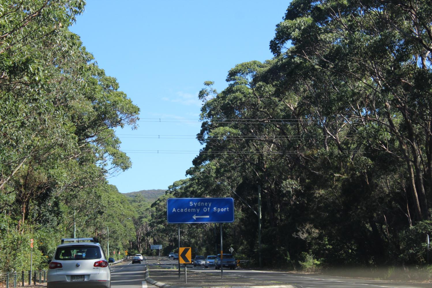
Council is seeking community views on a study into options for reducing flooding on the Wakehurst Parkway between Sydney Sports Academy and Oxford Falls. The Study is being released now following confirmation the NSW Government has made funding available towards the delivery of some of the options outlined in the document. Council will only take up the funding offer under a number of conditions, including community support for the project. Consultation period: Thu 27 May - Sun 27 June. The feasibility study is now available for community comment at:
Call For Community Feedback On The Wakehurst Parkway Flood Mitigation Study
Wednesday, 24 March 2021: Northern Beaches Council Media Release
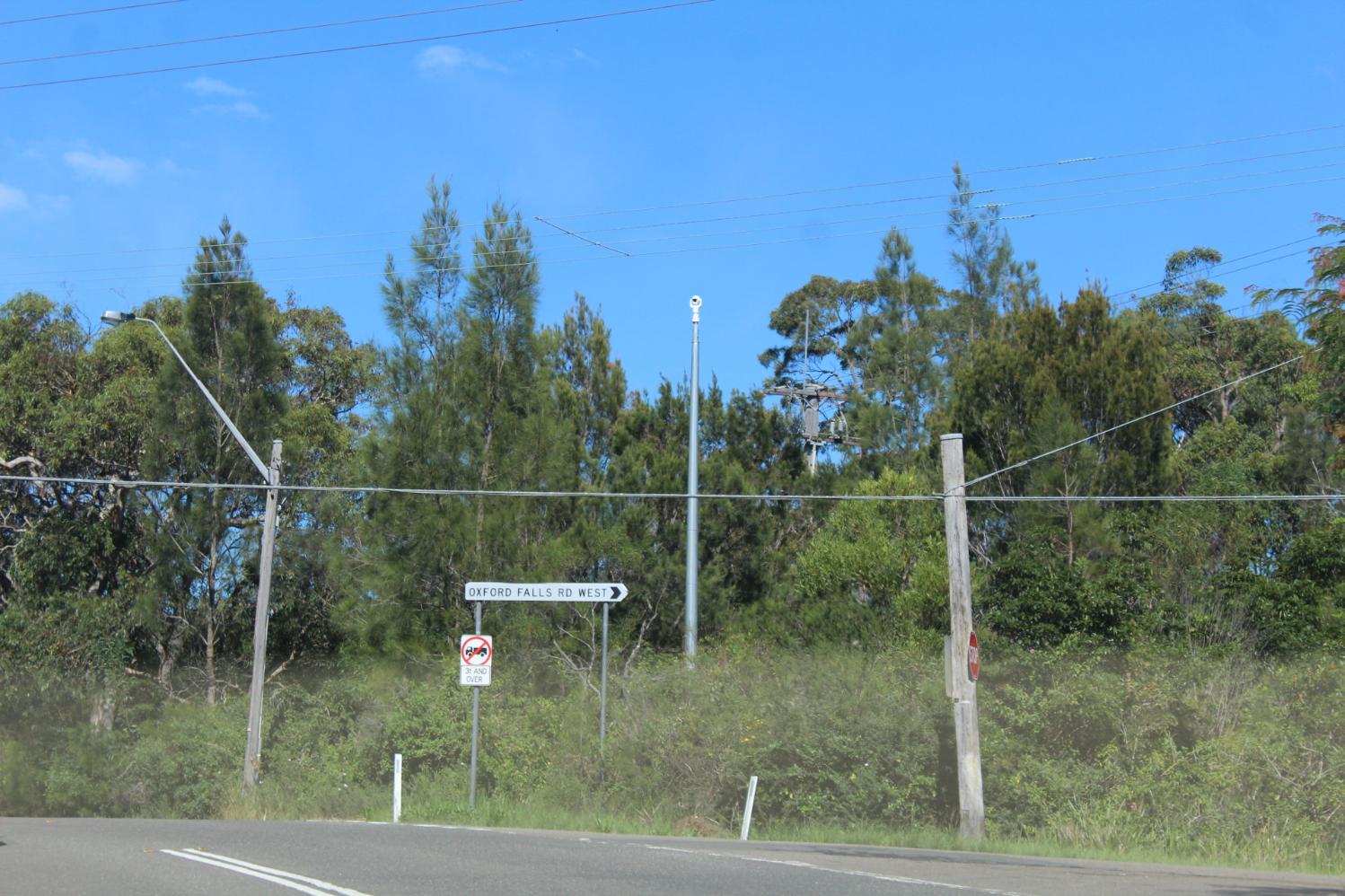
Northern Beaches Council will be seeking community views on a study into options for reducing flooding on the Wakehurst Parkway between Sydney Sports Academy and Oxford Falls.
The Study is being released now following confirmation the NSW Government has made funding available towards the delivery of some of the options outlined in the document. Council will only take up the funding offer under a number of conditions, including community support for the project.
Mayor Michael Regan said it was time for the community to have their say on the approaches available to reduce flooding impacts.
“This a major state-managed arterial road which is closed by flooding approximately six times a year – creating a huge inconveniences for many motorists – which is why we lobbied the State Government for funding for the Study and potential works.
“However, the Study confirms there are no easy or quick fixes for this issue.
“The road runs through the middle of a sensitive, rich ecosystem supporting an array of threatened plants and animal species, and there are no options that fix the wider flooding problem without environmental impacts.
“We are right at the beginning of the process – commissioning this feasibility study was the first step in order to get a sense of the options available.
“We have a lot more work to do to make sure we have a full and extensive picture of what flood mitigation measures will mean for the sensitive environment.
“In the meantime, it’s important the community has an opportunity to have a look at the options documented in the Study and give their initial feedback for us and the State Government to consider. We’ll only proceed with options if we have general community support.
“As this is a significant project, this will be the first of a number of times the community will be asked for input.”
The NSW Government announced in November it would allocate a further $13.1 million to reduce the frequency of flooding along Wakehurst Parkway and have since written to Council outlining the funding offer.
“The NSW Government has been proactively working with Council to assist with funding for this significant project.
“This allows us the certainty to begin engagement with the community.”
The feasibility study is expected to be available for community input in May.
Wakehurst Parkway Flood Prevention Works Funded
Thursday, 19 November 2020: by Northern Beaches Council
Additional funding from the NSW Government means works to reduce the frequency of flooding along the Wakehurst Parkway is now a step closer.
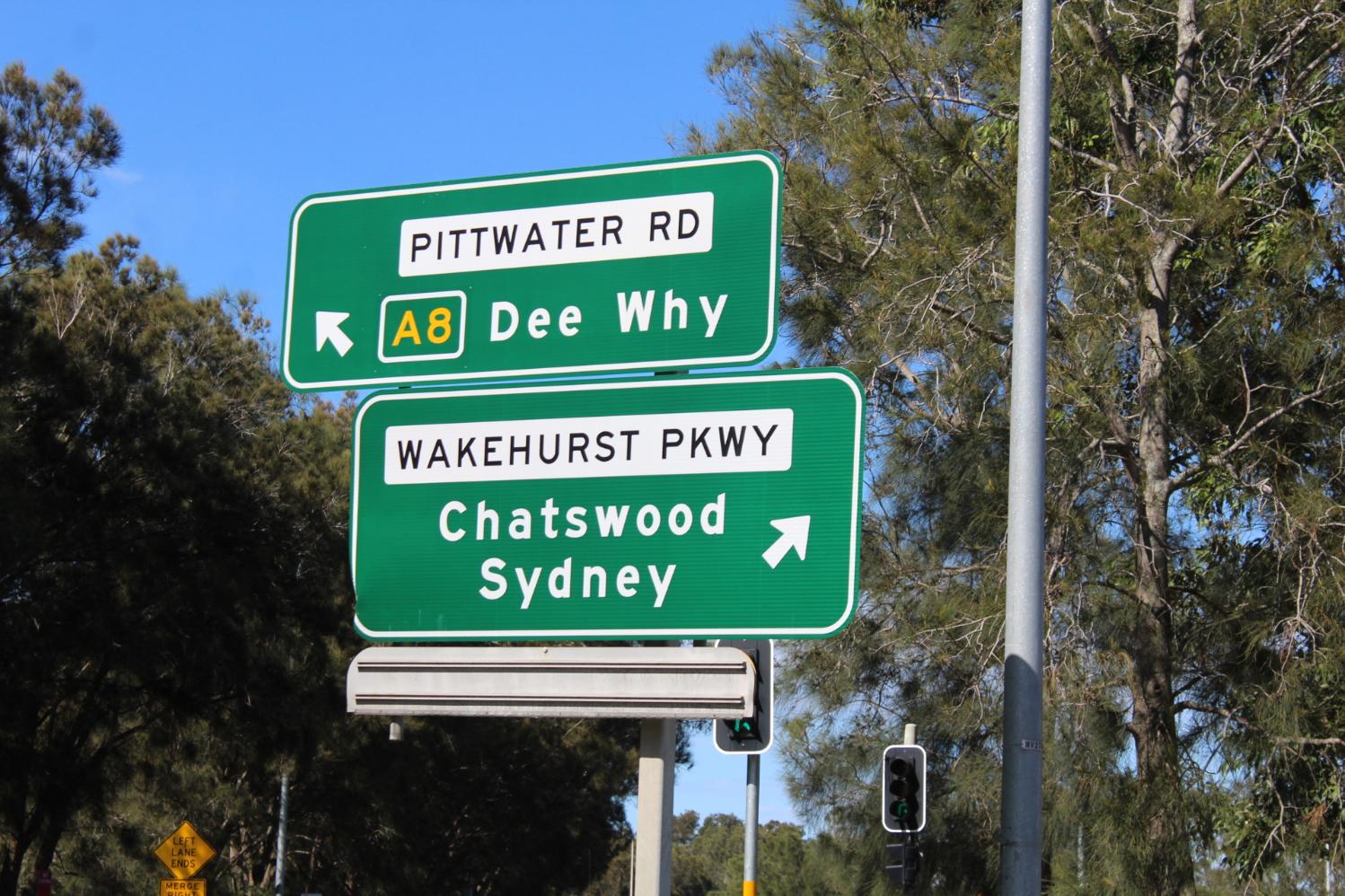
As part of the NSW Budget, $13.1 million has been allocated to help solve some of the issues facing this important road connecting the northern beaches with Chatswood and the CBD.
The road is also an important gateway to the Northern Beaches Hospital, with the proposed works intended to keep the road accessible to drivers following heavy rain.
The multifaceted flood mitigation will involve works at three key locations including new under road culverts and drainage, creek realignment, sediment removal and new levees.
Now there is funding certainty for the project, we will look forward to bringing more details about the potential options to the elected Council and the community in the new year.
This initiative is the result of a fantastic partnership between Council and the NSW Government and particularly local MPs Jonathon O’Dea, Rob Stokes and Brad Hazzard who have been instrumental in ensuring this project comes to fruition.
Budget injection for Wakehurst Parkway
Wednesday, 18 November 2020: Northern Beaches Council Media Release
Northern Beaches Mayor Michael Regan today welcomed funding measures in the State Budget dedicated to addressing local issues for the State’s fourth-largest council.
The NSW Government announced it would allocate a further $13.1 million to reduce the frequency of flooding along Wakehurst Parkway, bringing total funding for that project to $18.1 million.
A comprehensive flood and ecological study was commissioned by Northern Beaches Council and funding for some of the recommendations has been discussed with the NSW Government over the last year.
“I would like to thank the State Government for its ongoing partnership in solving some of the issues facing the Wakehurst Parkway,” Cr Regan said.
“This extra funding will help improve access to the Northern Beaches Hospital, and will make a difference to the issues motorists face regularly on the Wakehurst Parkway following rain.
“Now we have more certainty around funding and what’s possible to deliver, we look forward to bringing details to the community.
“This is another great example of how state and local government partnerships can make a big difference to our community.”
Cr Regan said the Budget showed the Government had shown confidence in the work of local governments, supporting council to drive locally-led economic recovery following a devastating year of drought, bush fires and a global pandemic.
_______________________________________
Funds For Wakehurst Parkway Flood Mitigation
August 24, 2017
Member for Pittwater Rob Stokes, Member for Wakehurst Brad Hazzard and Member for Davidson Jonathan O’Dea today announced up to $5 million to support the introduction of flood mitigation measures along Wakehurst Parkway.
Earlier this year Northern Beaches Council began investigating environmental measures to help address intermittent flooding caused by the overflow of Middle Creek.
An interim report presented to Council this week has found that making changes to Middle Creek, and removing vegetation, may be able to reduce road closures in smaller but more frequent flood events.
Up to $5 million will be made available by the NSW Government to support Council’s detailed investigation and the implementation of any practical actions to reduce the frequency of flooding.
Member for Pittwater Rob Stokes said, “This is an important opportunity to see progress on this issue.
“Wakehurst Parkway winds through a unique area and there are a range of factors to consider.”
Member for Wakehurst Brad Hazzard said, “We love our bush along the Parkway and hopefully these funds will allow preservation of the bush at the same time as the flooding risks are reduced.”
Member for Davidson Jonathan O’Dea said, “There are indications that the environmental treatment of vegetation and changes to Middle Creek will help reduce road closures. These should be pursued as initial measures.
“I’m pleased Northern Beaches Council has taken the initiative and the State funding will help support these efforts.”
August 22nd, 2017 Minutes showed the The Northern Beaches Council have completed initial investigations into reducing the small scale but frequent flooding which closes Wakehurst Parkway and will now carry out detailed design assessments in order to finalise options. Council set up an interagency working group to identify the factors causing the frequent smaller floods and find potential ways of stopping it. The next stage involves detailed assessment of flood behaviour, creek depth and alignment, creek configurations and assessments of potential environmental impact. Work will start next month, with options and/or designs likely to be confirmed in about 12 months.
The Council established a working group with Roads and Maritime Services. Council engaged specialist flood consultant Cardno to undertake a preliminary flood investigation of Wakehurst Parkway. The Working Group members met with Cardno on site to inspect the flood locations, with RMS providing data from their previous investigations.
Investigations have determined that Wakehurst Parkway floods in four separate locations and has required closing between 3 and 11 times a year between 2007 and 2014. An assessment of the rainfall conditions during this period has indicated that these locations flood in rain events with a magnitude of less than a 1 in 1 year event.
A number of preliminary floodplain mitigation options have been investigated including sediment removal from Middle Creek, culvert upgrades, detention basins and the raising of Wakehurst Parkway. Early results suggest that the removal of sediment from Middle Creek could provide minor reductions in flooding in the short term however further analysis is needed and any works would require ongoing maintenance and would be associated with environmental impacts. The raising of Wakehurst Parkway in key locations and corresponding culvert upgrades appears to provide a longer-term sustainable option to permanently reduce the incidence of flooding and road closures in all events up to the 1 in 20 year rain event, however this has a significant capital cost and is also likely to have environmental impacts.
The preliminary assessment clearly shows there are options for managing flooding. The project will now move into the detailed analysis, feasibility assessment and cost-benefit comparisons to determine the preferred approach.
Funds For Improved Floodplain Management
4 December 2015
Member for Pittwater Rob Stokes today announced NSW Government funding to help improve local floodplain management.
Pittwater Council has been allocated $220,000 to assist with the preparation of floodplain management strategies and the development of warning and information systems.
Key locations identified for upcoming projects include residential areas surrounding Narrabeen Lagoon and Great Mackerel Beach.
“Floodplain management is an ongoing challenge for our community,” Rob Stokes said today.
“Over recent years Pittwater Council has done considerable work identifying and limiting flood risks and it’s important this work continues.
“There’s often no single solution to addressing flood risks - but forward planning and strategic management can make a huge difference.
“Unfortunately floods and natural disasters are inevitable and all communities must be as well prepared as possible.
“I’m pleased the NSW Government is continuing to support Pittwater Council with its endeavours and I look forward to the overall benefits for our community,” Rob Stokes said.
Almost $5 Million In Floodplain Management Grants
Wednesday, 2 December 2015
Environment Minister Mark Speakman today announced $4.93 million in grants for 10 councils and a local land service to address flood risks throughout NSW.
Mr Speakman said the funding for councils was another way the NSW Government was supporting communities to prepare for extreme weather events well in advance of them occurring.
“Floods and natural disasters are an inevitable reality in Australia and it is important we support our councils to consolidate the safety of people and property in our communities,” Mr Speakman said.
“The projects are funded under the State Floodplain Management program that works to ensure landowners, businesses and local economies are prepared to meet the challenges of floods and natural hazards.
“Losses from flooding in NSW can be high. Floods can cause irrevocable damage to not only the physical but the emotional wellbeing of our communities.”
The grants will help councils to be better equipped to implement floodplain risk management plans and to prepare the regions that are affected by flooding.
Examples of new projects to be funded include:
• $3.66 million to Murrumbidgee Shire Council to continue the Darlington Point Levee, which once completed will protect the town from most flood events;
• $140,000 to Dungog Shire Council to develop a flood risk management study and use information from the April floods to review its existing studies and determine suitable mitigation strategies.
For more information and project descriptions visit:www.environment.nsw.gov.au/coasts/Floodgrants.htm
Pittwater Council
Great Mackerel Beach Entrance Management Strategy (SFMP)
The Great Mackeral Beach residents experience periodic flooding which has been attributed to the closed entrance. This study will assess the entrance processes at Great Mackeral Beach and examine any environmental impacts associated with cyclical dredging being incorporated into an ongoing entrance management strategy. An Entrance Management Policy will be developed and will enable a timely and effective response to better assist affected residents.
North Narrabeen Lagoon Overland Flow Flood Study (SFMP)
Council will undertake a flood study to identify the overland flow paths within the Elanora Heights and Ingleside area, as well as look at how the overland flow paths interact with the mainstream Narrabeen Lagoon flooding.
Northern Beaches Flood Warning and Flood Information Network (SFMP)
This is an ongoing project that provides a strategic regional approach to the management of rainfall, flow and water level gauges. This information is essential to Council and the public in managing lagoon and flash flooding. The program will keep the website up to date with flooding information and add an additional flood gauge to the network.
Newport Flood Study (FRMGS)
Council will update the existing Flood Study to ensure overland flow paths entering the mainstream catchment are appropriately identified and mapped. It will look at the interactions of the mainstream flooding and the many overland flow paths within the study area.
_______________________________
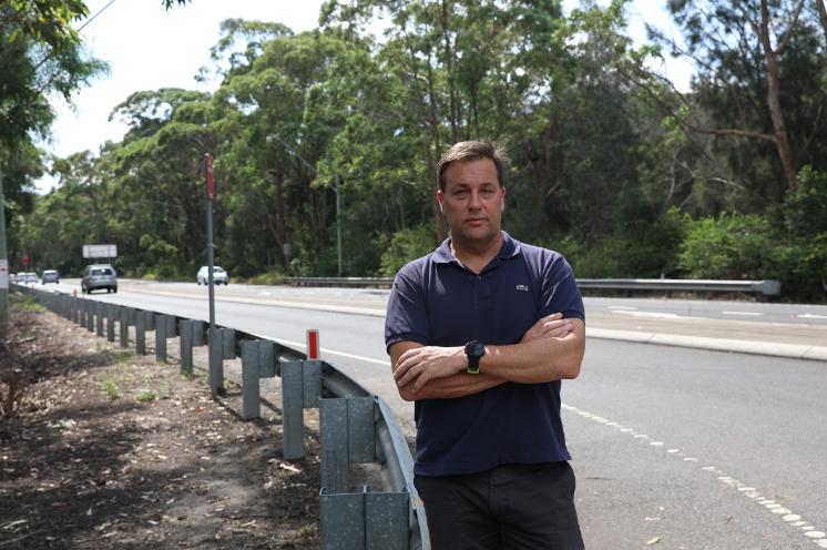
Jason Falinski Fights For Wakehurst Parkway Upgrades
February 14, 2020: from Mr Falinskis' office
Member for Mackellar, Mr Jason Falinski MP is campaigning to have the Wakehurst Parkway upgraded. The Northern Beaches community have been demanding this for years and Mr Falinski is arguing that following the recent storms, the flaws of the road corridor are yet again exposed.
“It is absurd that with even the slightest of rainfall, we lose one our main roads. Not only is it inconvenient, but it’s dangerous. We are lucky to have a state-of-the-art hospital in Frenchs Forest, however access becomes very difficult when this road is blocked.” Mr Falinski said
“Currently, it is a two-lane road, which is grossly inadequate to cope with the volume of traffic it receives, not to mention when there are car crashes.”
“It needs to be flood proof and it needs to be widened.”
Mr Falinski has already begun conversations with the Minister for Urban Infrastructure, the Hon Alan Tudge MP who indicated funding for the study could be made available through the Federal Government’s $4 billion Urban Congestion Fund.
Mr Falinski has also contacted the New South Wales Minister for Roads and Transport, the Hon Andrew Constance MP and implored him to ask Minister Tudge for the funding.
“I have written to Minister Constance on behalf of my community imploring him to work with the Federal Government to get a feasibility study underway and then get this project going.”
Mr Falinski has said he is willing and able to facilitate a meeting between the two Ministers.
Photo: Jason Falinski MP at the Wakehurst Parkway
_____________________________________________________________________
NBH Roads Upgrade Project - Transport for NSW
- $400 million price tag for road upgrades for NBH - 2014 (included 270 million option), retrieved from: https://roads-waterways.transport.nsw.gov.au/documents/projects/sydney-north/northern-beaches-hospital/nbh-community-consultation-report-1410.pdf
- $500 million - webpages for project and updates, retrieved from: https://caportal.com.au/rms/nbh-s2
- $700 million - project complete, retrieved from: https://www.wsp.com/en-AU/news/2020/northern-beaches-hospital-roads-upgrade-completed
Early investigation work for the Stage 1 Connectivity Work started in August 2015 and Stage 1 construction commenced in November 2015. By August 2020 the works had been completed.
The spend and works done included, in 2018, moving over 100,000m3 of dirt and fill, pouring 14km of concrete paths, Opening Naree Road, Frenchs Forest Road West and East to two lanes in each direction, completing the entrances to the new Northern Beaches Hospital, constructing and opening the new westbound lanes on Warringah Road, upgrading and opening the eastbound lanes on Warringah Road, opening shared paths and new footpaths throughout the project area, installing six new sets of traffic lights, major intersection upgrade at Wakehurst Parkwayand Frenchs Forest Road, starting construction of the road bridges at Forest Way, Hilmer Street and Wakehurst Parkway, completing 20 new car parks for the Skyline Shops.
In 2019 the project was excavating the 1.3 km long Warringah Road underpass from west of Forest Way to east of Wakehurst Parkway, reconfiguring the intersection of Warringah Road and Forest Way for the continued construction of the Warringah Road underpass, new road, kerb and gutter at Allambie Road south of Warringah Road, and Warringah Road between Allambie Road and Rodborough Road, opening new sections of the eastbound lanes on Warringah Road between Fitzpatrick Avenue West and Forest Way, and east of Wakehurst Parkway to Rodborough Road, completing the intersection of Warringah Road and Hilmer Street, including the bridge over the Warringah Road underpass, traffic changes at the intersections of Forest Way and Wakehurst Parkway for the continued construction of the bridge at each intersection over the Warringah Road underpass. The underpass bridge at Hilmer Street was opened in March 2019 and the underpass bridges at Forest Way and Wakehurst Parkway were completed in September 2019. The Warringah Road underpass opened to traffic in March 2020.